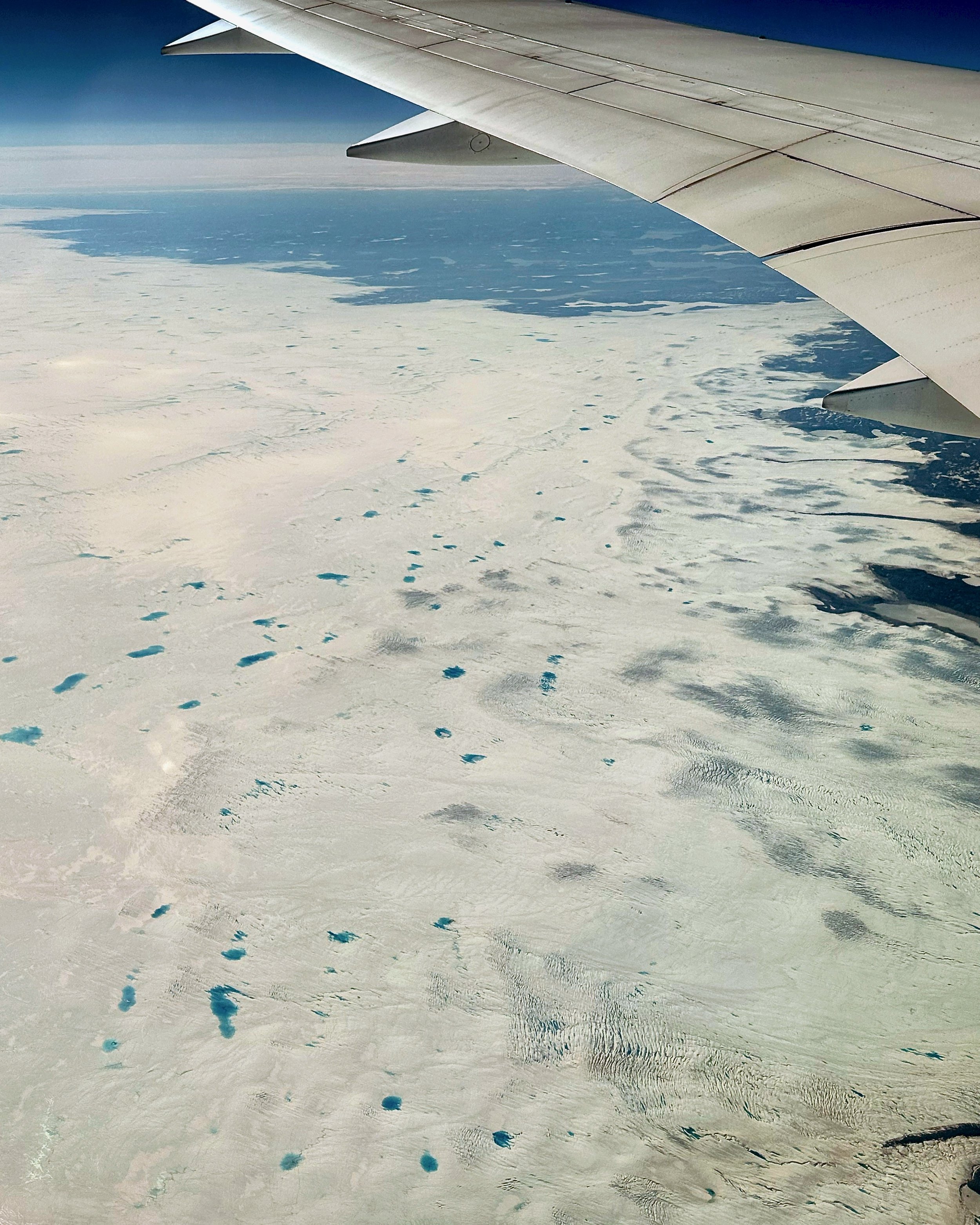
The idea of going to Greenland hatched during one of the flights from Europe to Canada some time ago. Looking down from 30,000 feet at the rugged mountains below sparked the desire to visit and hike or climb there one day. That day came in mid July as a result of rather sudden decision. In May I received an email about this trip and decided to jump on it.
This 150 km trek from Karale to Tasillaq Fjord is located in East Greenland near the villages of Kulusuk and Tasiilaq. From Kulusuk, we took a speed boat for a 2+ hour ride to the “trail head” or the starting point, as there are no trails in Greenland. East Greenland is very remote and sparsely populated. There are no rescue helicopters and in case of inclement weather help can be a long way away. The trek starts in the area known as Karale and culminates at the end of the Tasiilaq Fjord. It is very varied and passes through some incredible scenery. At the mid point we resupplied in the village of Kumiut. The route is very well chosen and it packs a lot into the 10 day adventure. Since much of the east coast of Greenland is very difficult to access, this trek provides a great opportunity to get a feel of this part of the world.
Greenland is the land of superlatives and no narrative can convey the serenity and grandeur of the place. This part of Greenland is different from Baffin Island but reminded me of Tierra Del Fuego in southern Patagonia, but it is much bigger and wilder. The logistics and cost of traveling in this part of Greenland make joining a group much more attractive than going solo. Any movement between points in the summer is done by boat or helicopter, both expensive. There is also the danger of polar bears and a gun is required for safety. This is another reason to travel in a group.
As elsewhere is the high Arctic, the weather can be unpredictable and savage and can turn on a dime. One day it is calm and sunny and the following evening the wind is blowing 120km/hr. This affects flights and boat travel. It is easy to get stranded with no way out. It can also make hiding from the wind difficult as the terrain in very open.
Thanks to Arctic Hiking and Expeditions for organizing this fantastic trip!
The western edge of the Greenland icecap from Europe-Canada flight
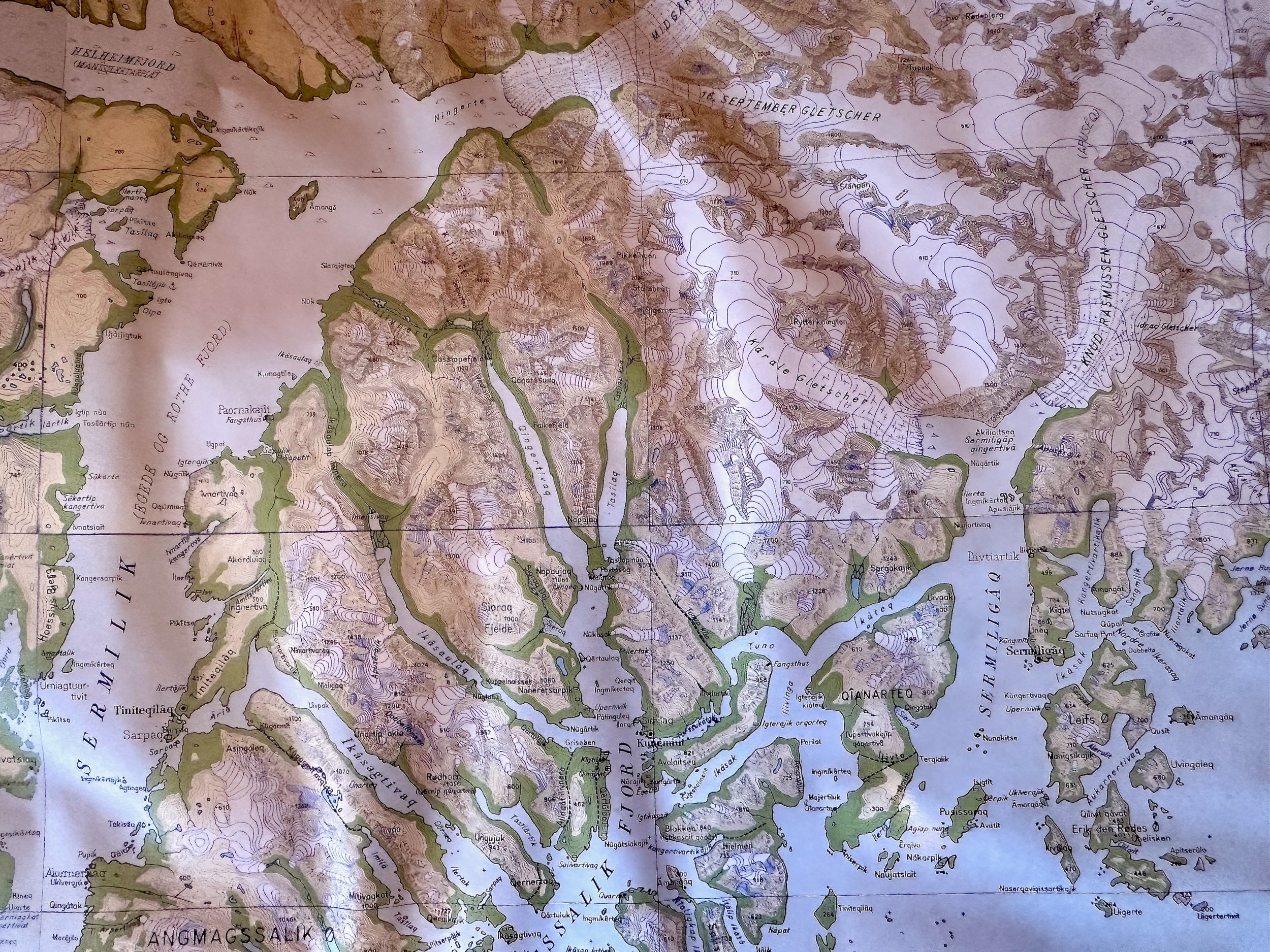
Kulusuk is directly across from Iceland. On the map above is it covered by a white blob :-) But see below for detail.
The Sermiligaq and Angmagssalik Fjord system. We covered a small potion of this vast region within the massive Greenland. Kulusuk is on an island at the bottom portion of the map.
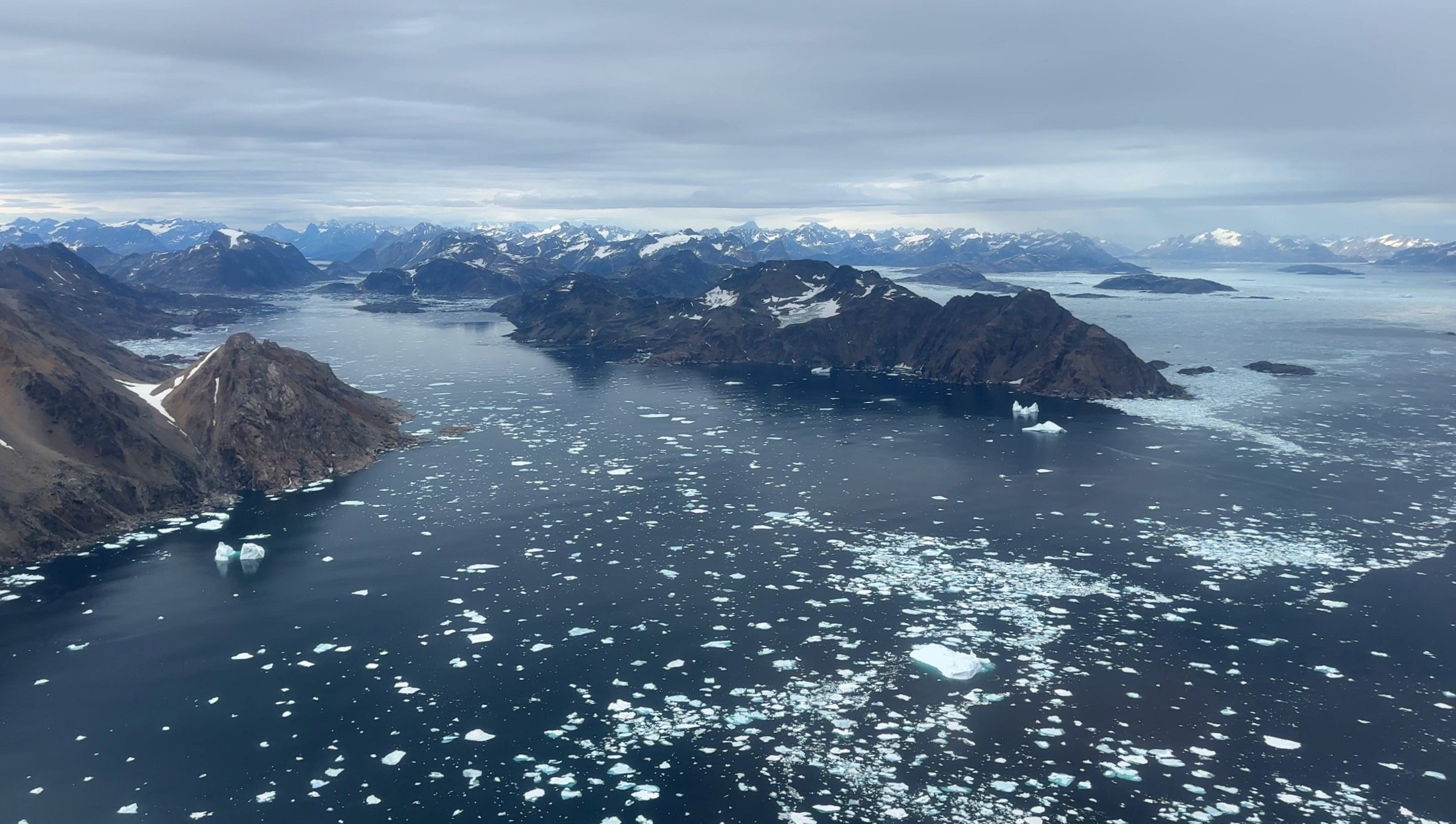
The east coast of Greenland
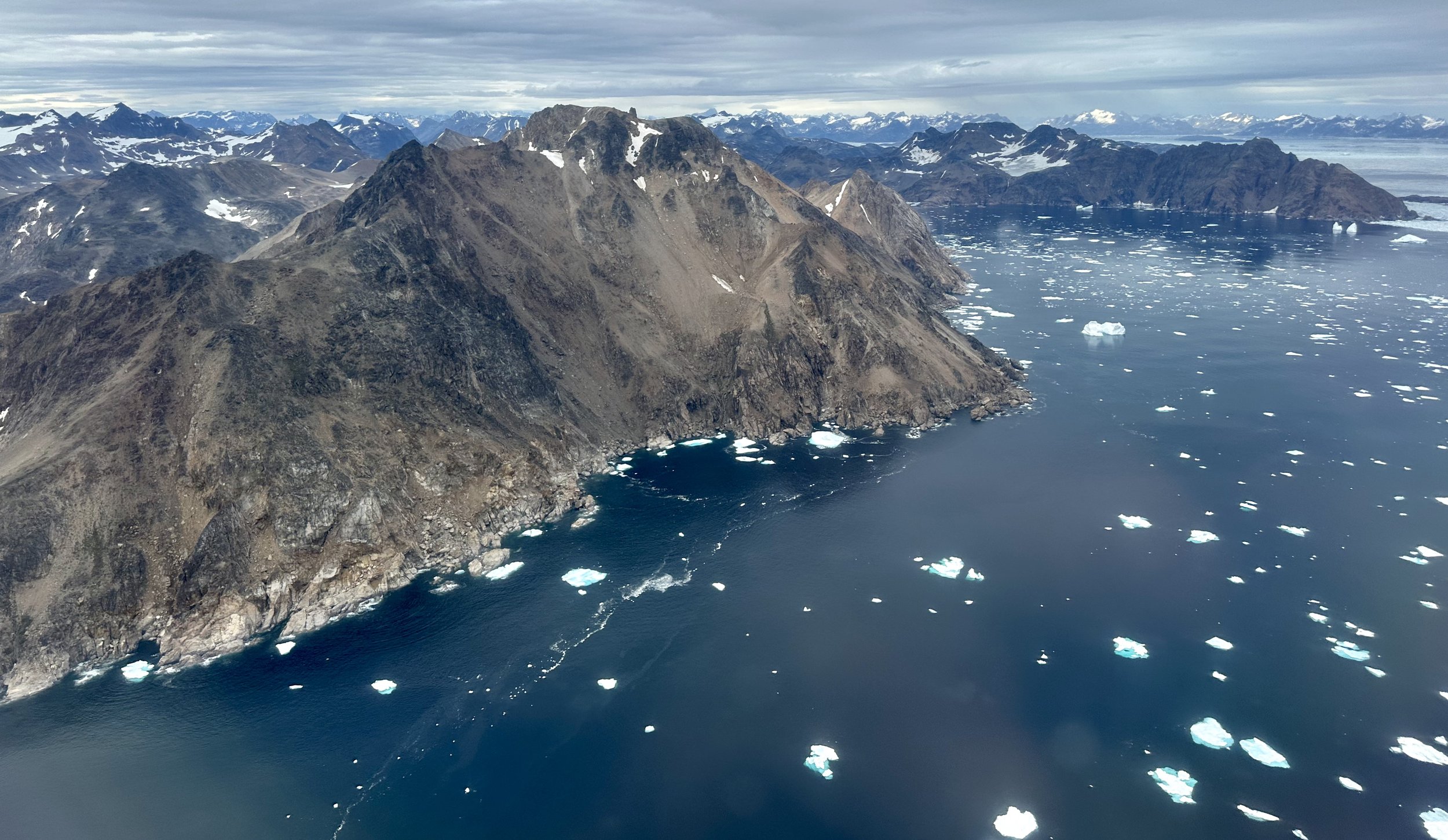
The coast near Kulusuk. When the flight from Iceland approaches Greenland and the wild coast comes into view, feelings of euphoria and apprehension mix. It is exciting to see the land which we will soon traverse.
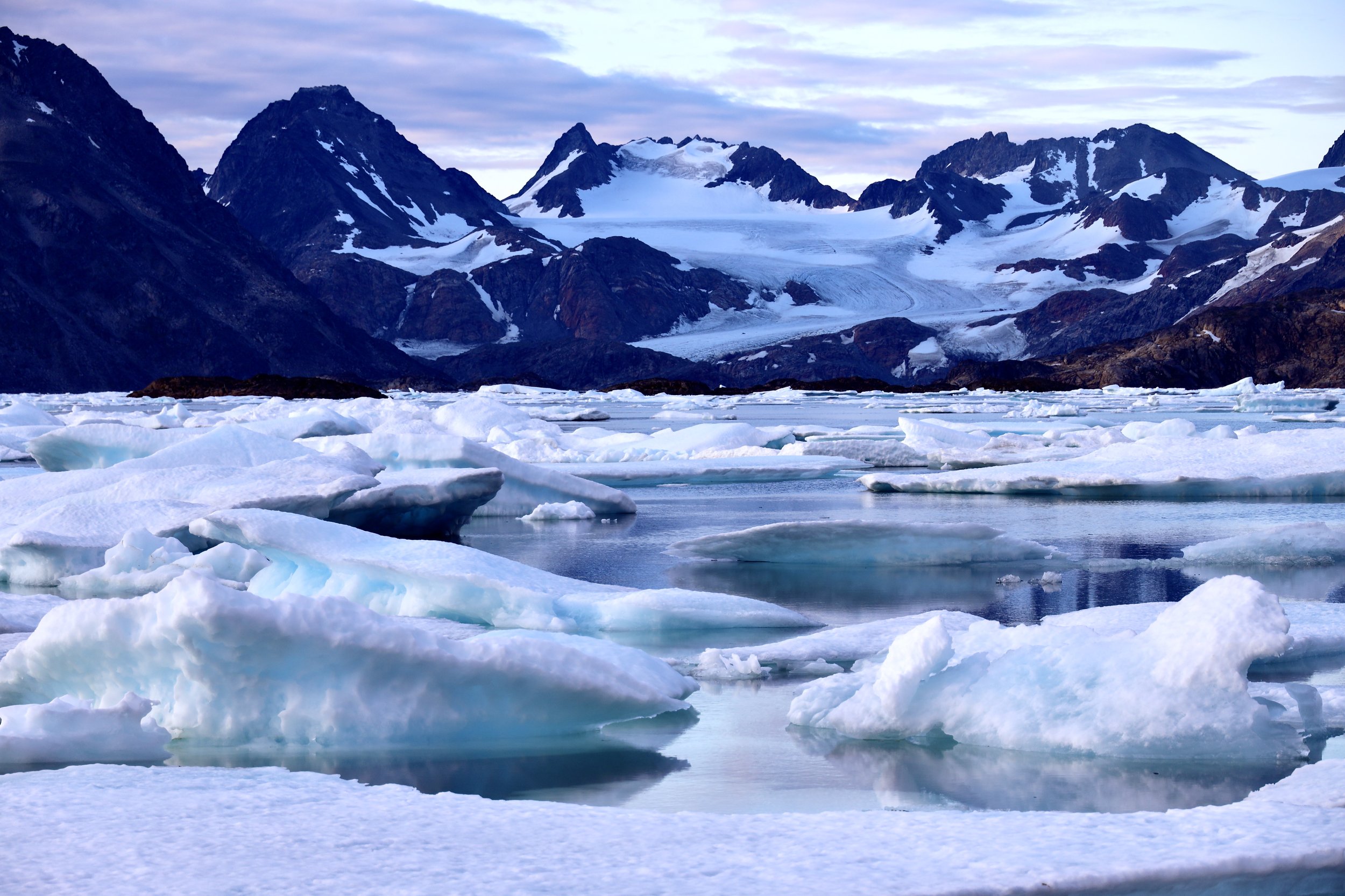
The sea ice near Kulusuk. The packed sea ice can make boat travel very difficult or impossible. The sea ice is moved by currents and/or winds. There are two prevailing winds in Greenland: the northern wind with blows the sea ice from the north to south, and the west wind which blows the sea ice away from the shore and into the open ocean. In 2024 there was a prevalence of the north wind creating higher than usual sea ice pack in the area we visited.
Kulusuk airport is a dirt strip surrounded by mountains. It was originally built to support the radar station but with commercial intent as well. There are no flights when there is fog or when the wind speed exceeds 60km/hr. The flights from Iceland can fly all the way to Kulusuk and not land due to poor visibility. This is how fast the weather changes here.
The desolate Kulusuk airstrip. The flight from Iceland is 1 hr and 30 min. It is often cancelled or delayed due to weather. There are no flights on Sundays. Our flight scheduled for Saturday was cancelled due to fog which came in very suddenly so we had to wait until Monday to leave. The day after our departure had a wind forecast at 140 km/hr. This was a part of a major storm that would last two days and suspend all flights. The airport also has regular helicopter Air Greenland flights to Tasiilaq multiple times each day.
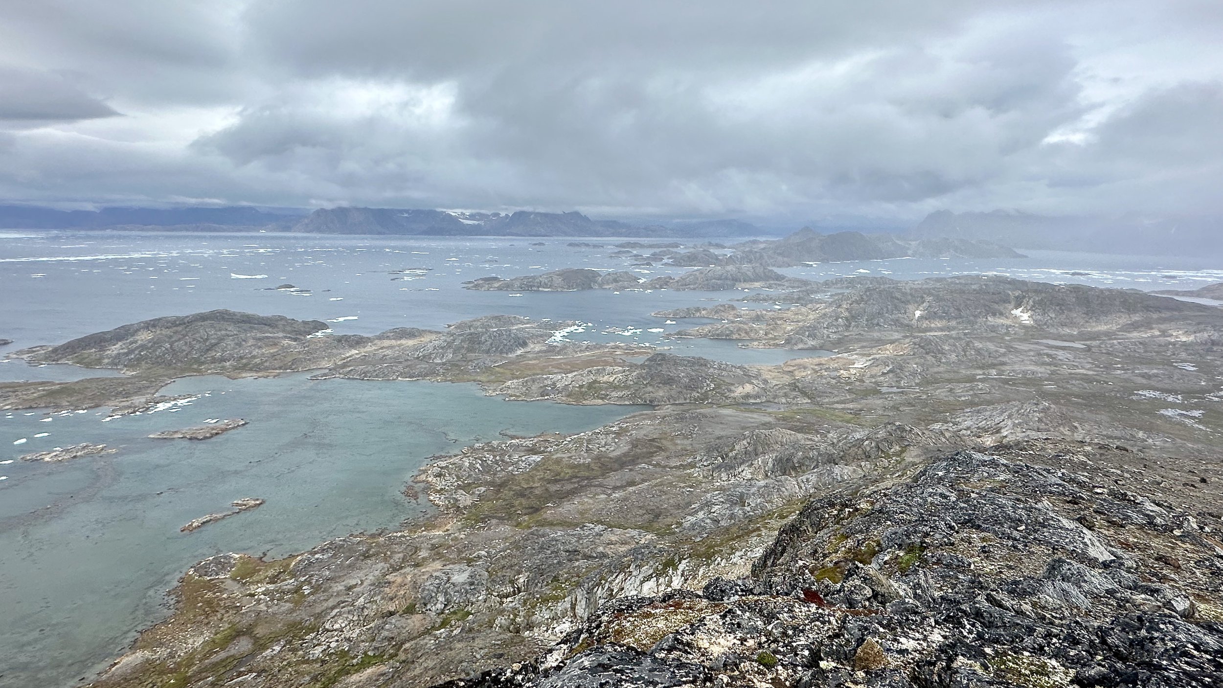
The barren coast near Kulusuk
The cost of Greenland
Kulusuk harbour
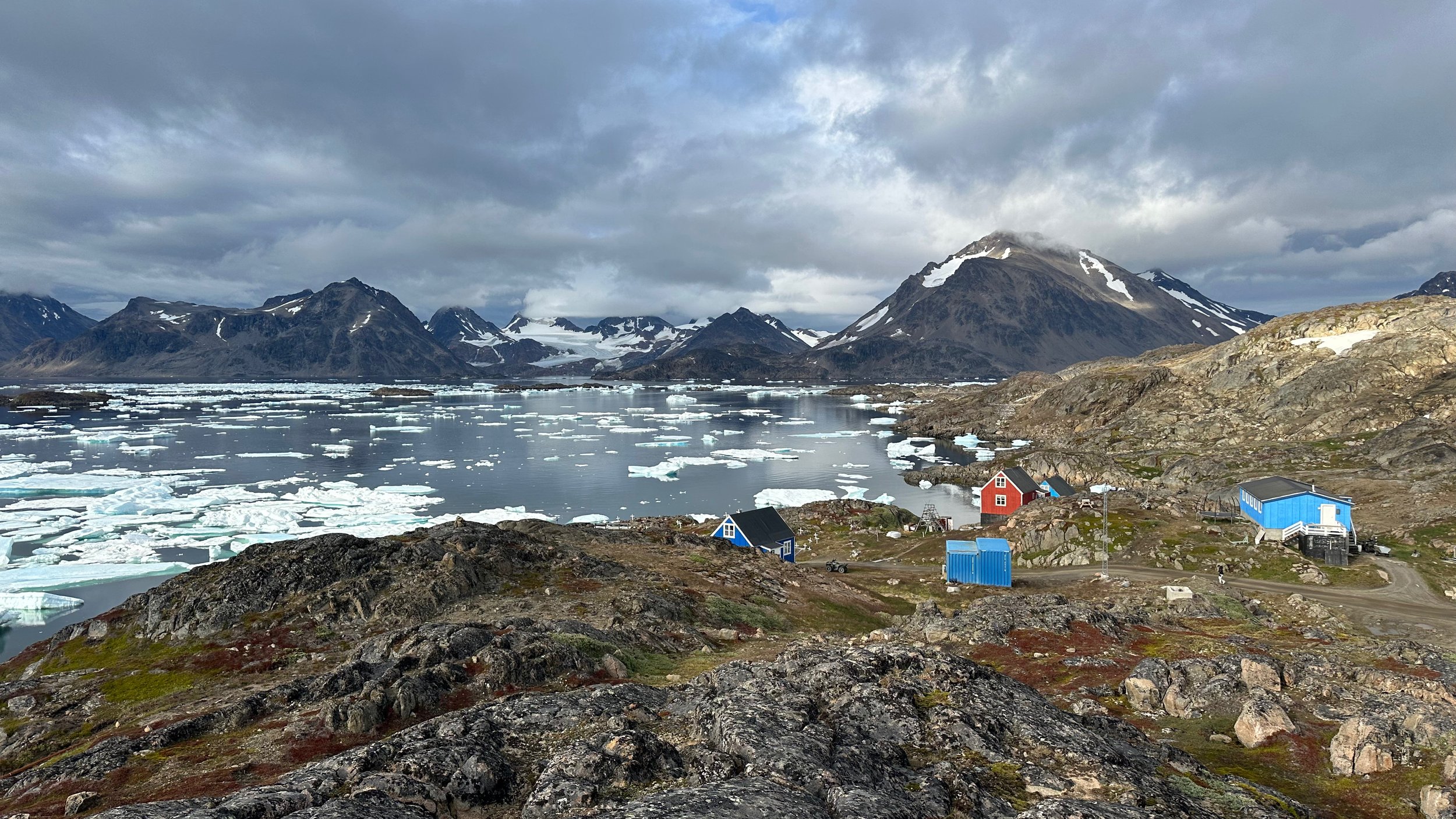
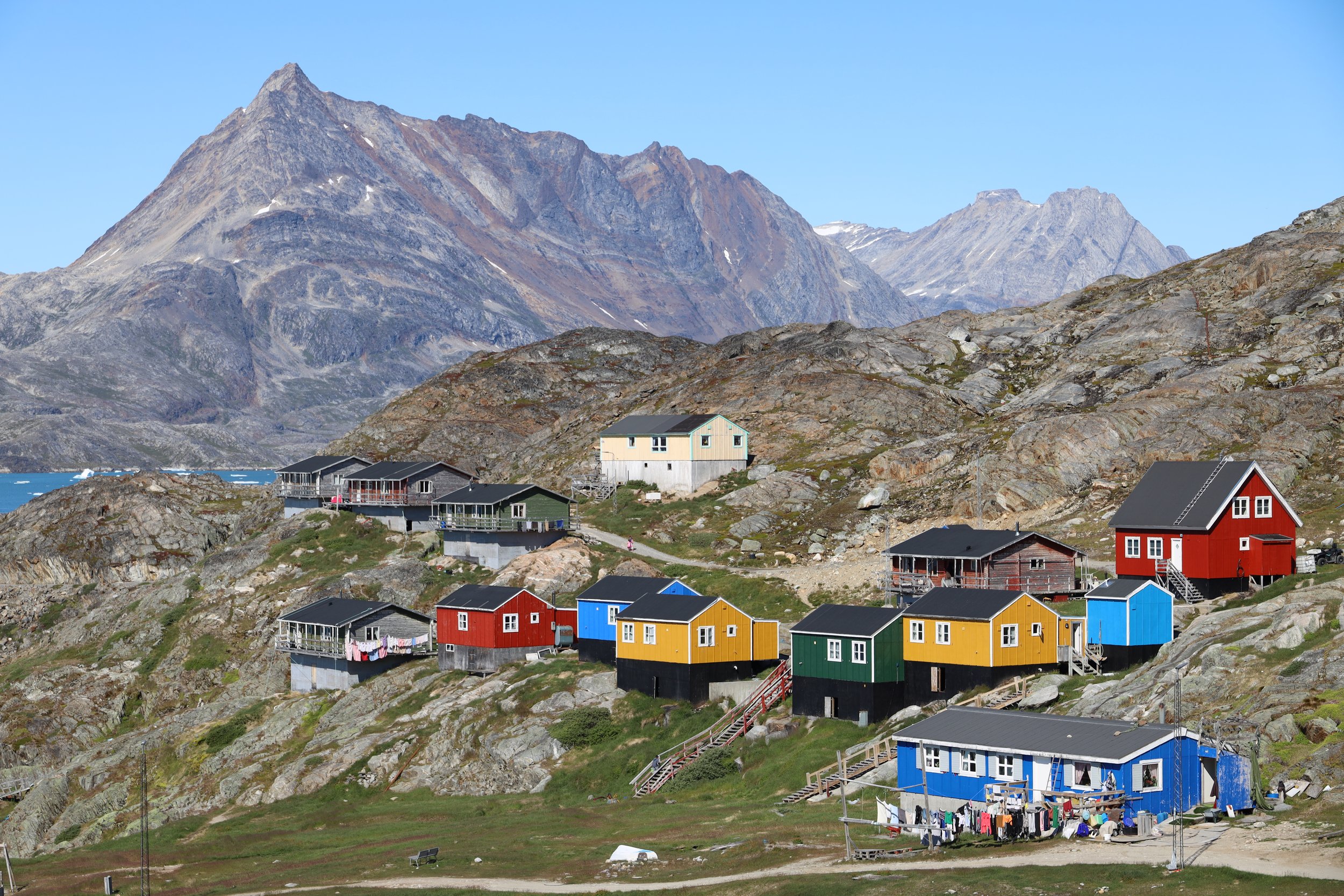
Kulusuk is located in a spectacular spot. There are a lot of hiking/trekking/climbing opportunities right outside the village.
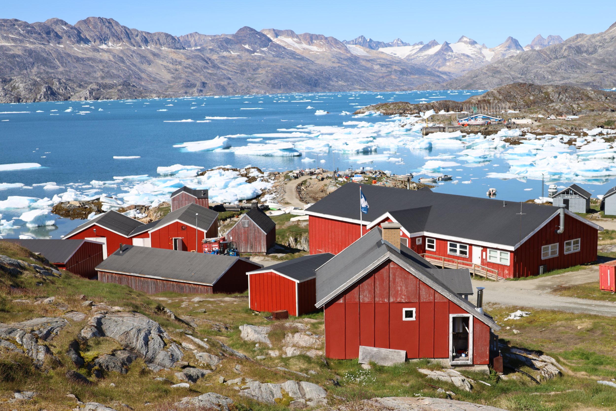
Kulusuk - population 250
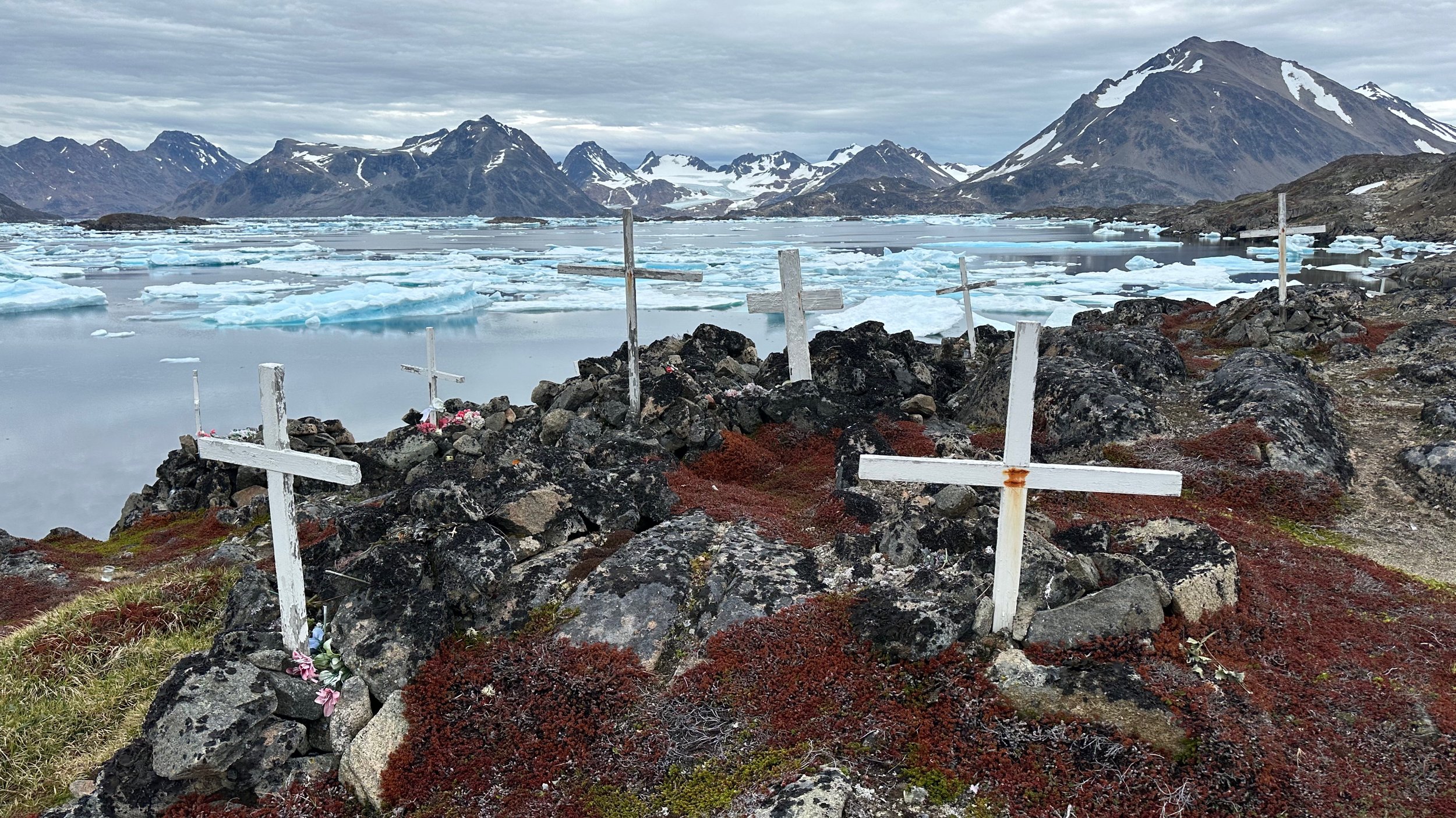
There are burial sites all over the village in addition to the local cemetery.
Kulusuk
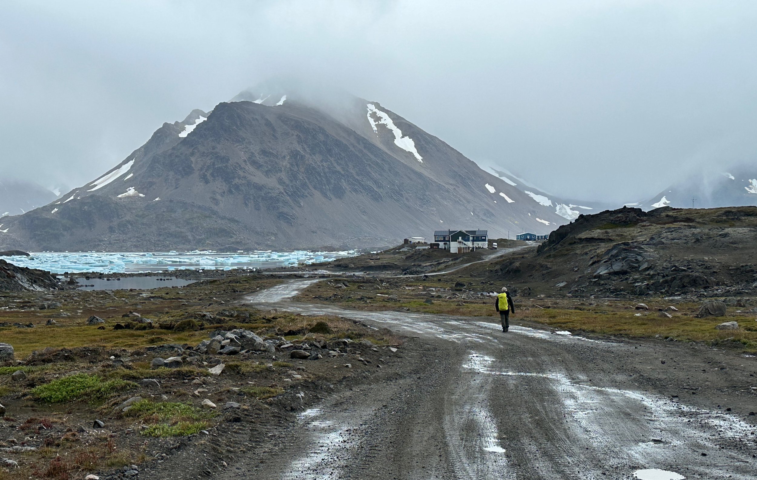
The large building in the distance is the Kulusuk Hotel - the only and very expensive hotel in this place.
This photo was taken at 1.30 am. Although not daytime light, it is quite bright.
Kulusuk
Kulusuk Harbour
Hunting is a big part of life here. Since there is no refrigeration, keeping the catch “on the sea ice" is a common custom. Freshly killed seals in the Kulusuk harbour.
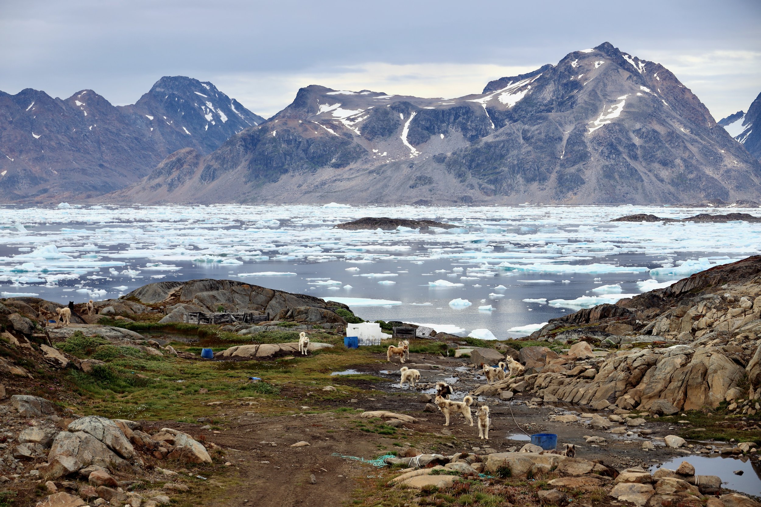
The sled dog huskies outnumber people in Kulusuk. They howl at night and sometimes engage in fierce fights. The are definitely not pets and should not be approached.
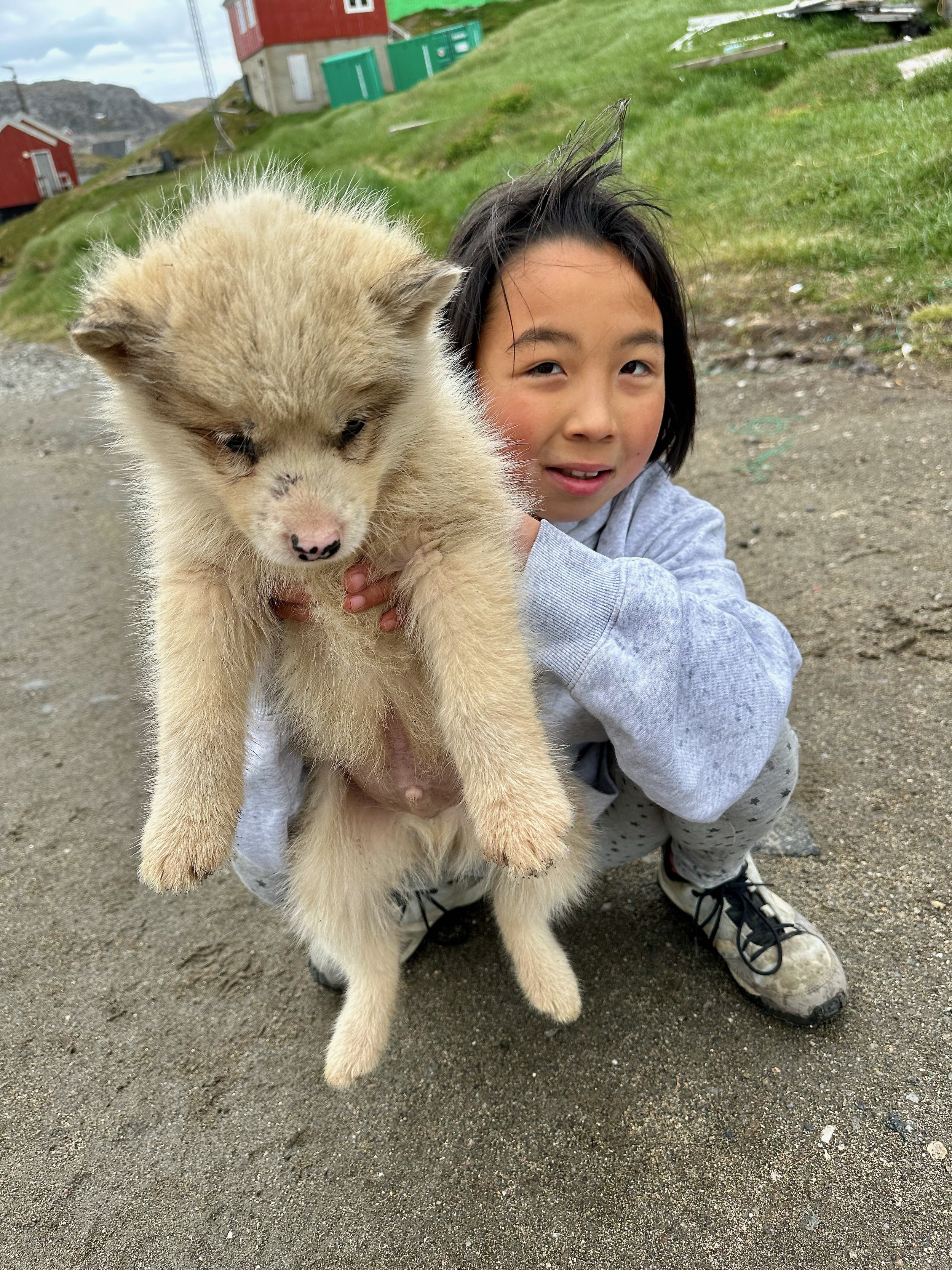
One of many husky puppies. Apparently not the most intelligent breed interested only in 3 Fs: food, fights and reproduction.
The pre departure pow wow going over the route.
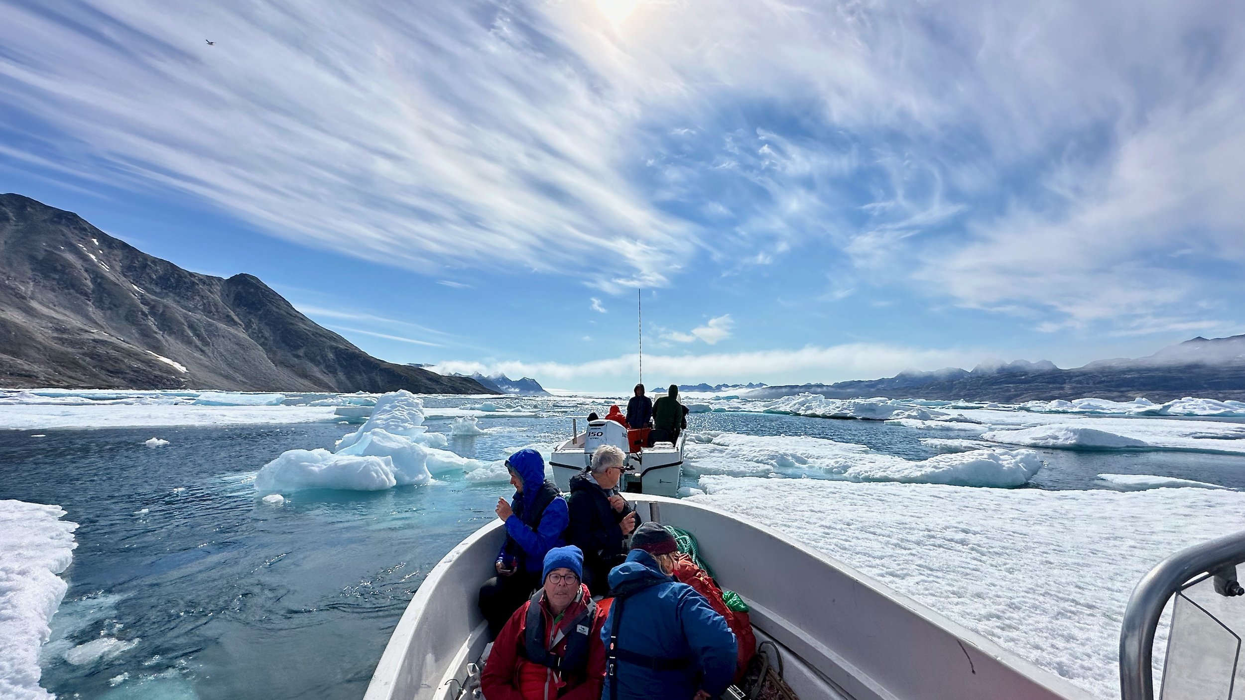
The boat trip from Kulusuk to Karale. It is an obstacle course between floating ice.
The boat is pretty beat up from hitting ice too many times!
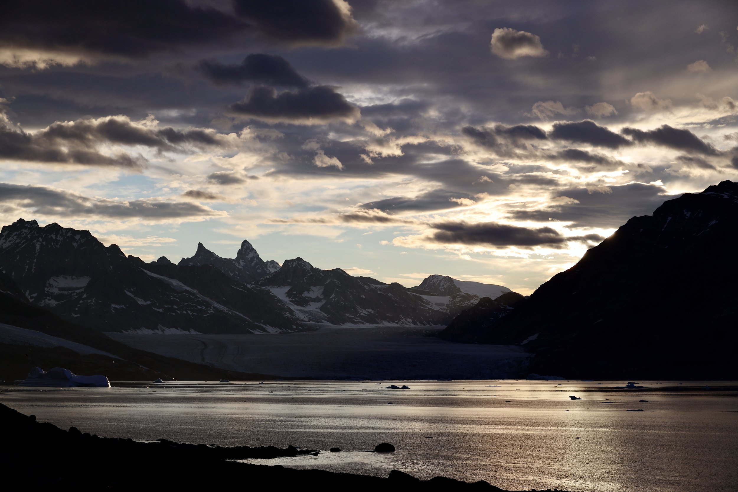
Mesmerizing light found at higher latitudes.
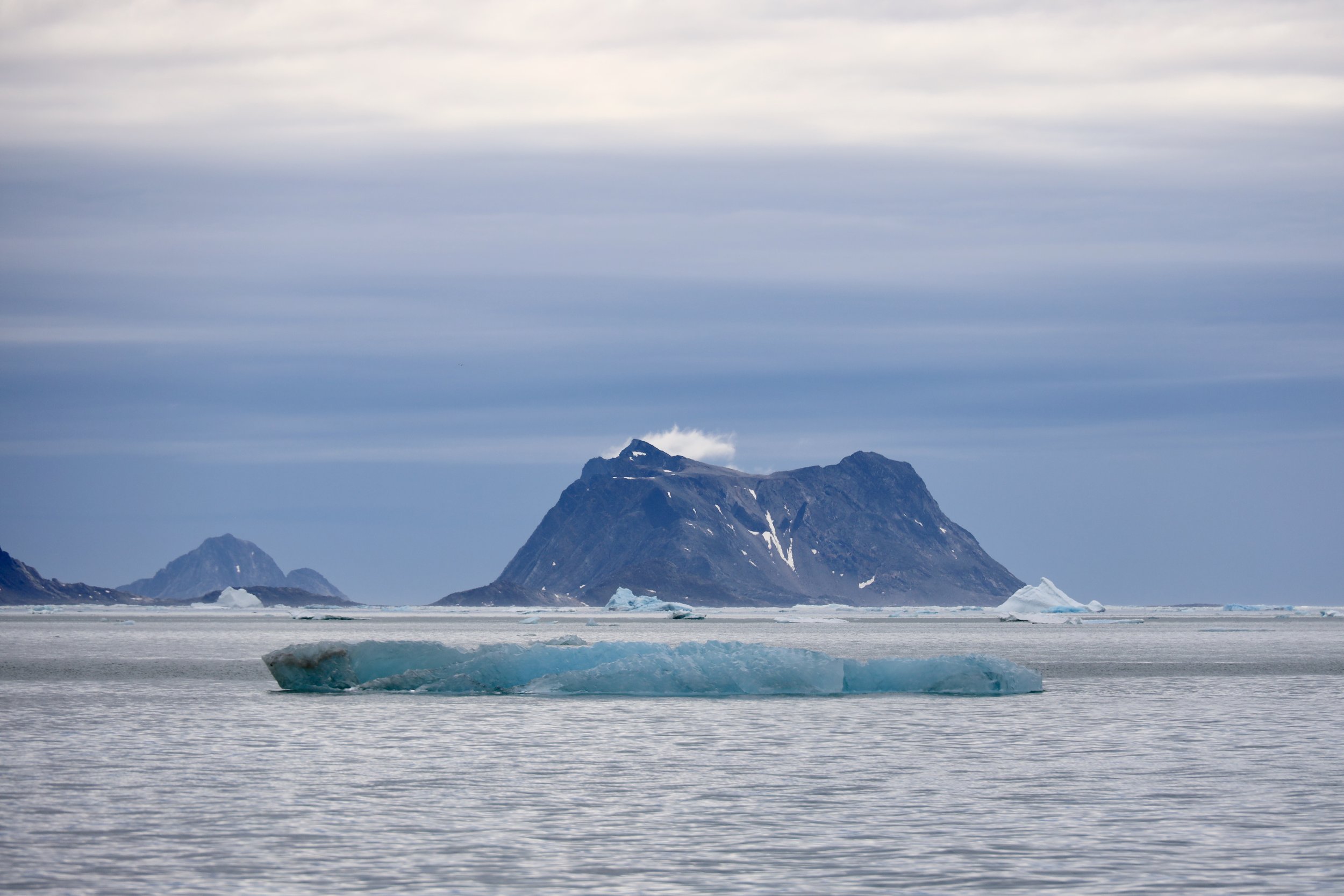
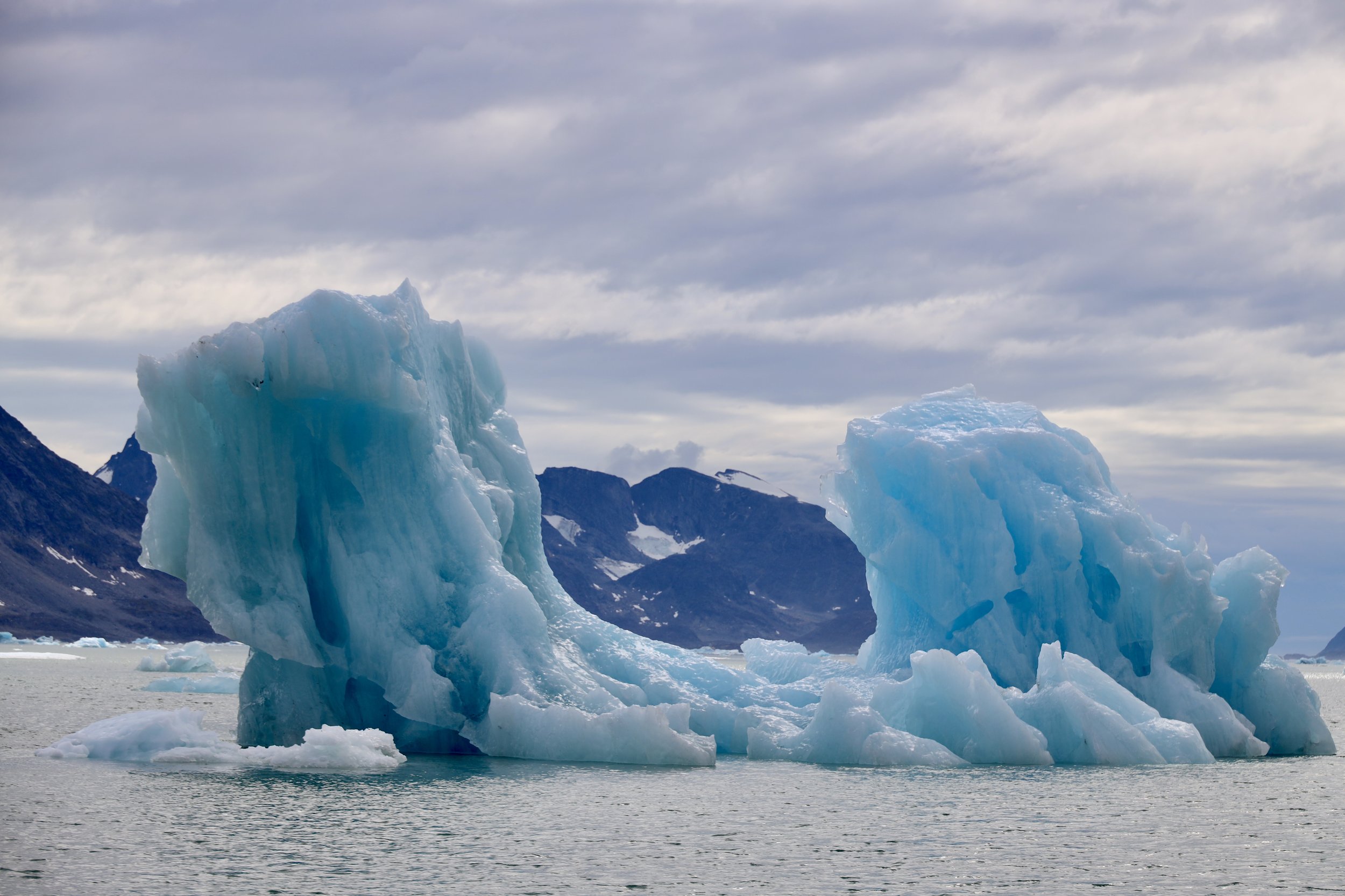
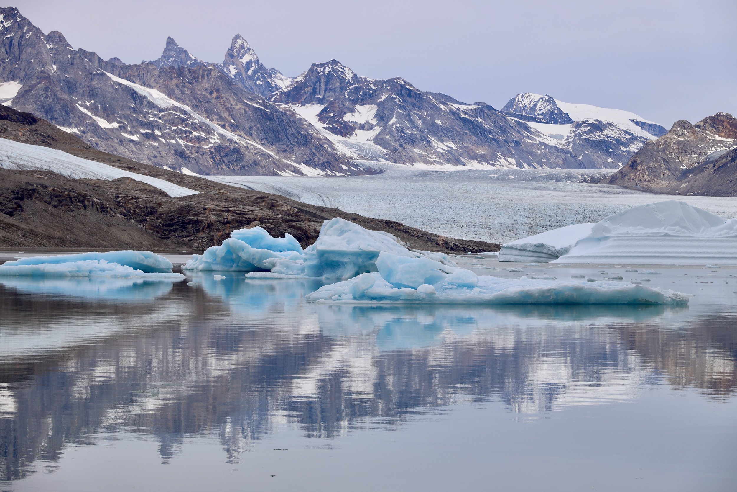
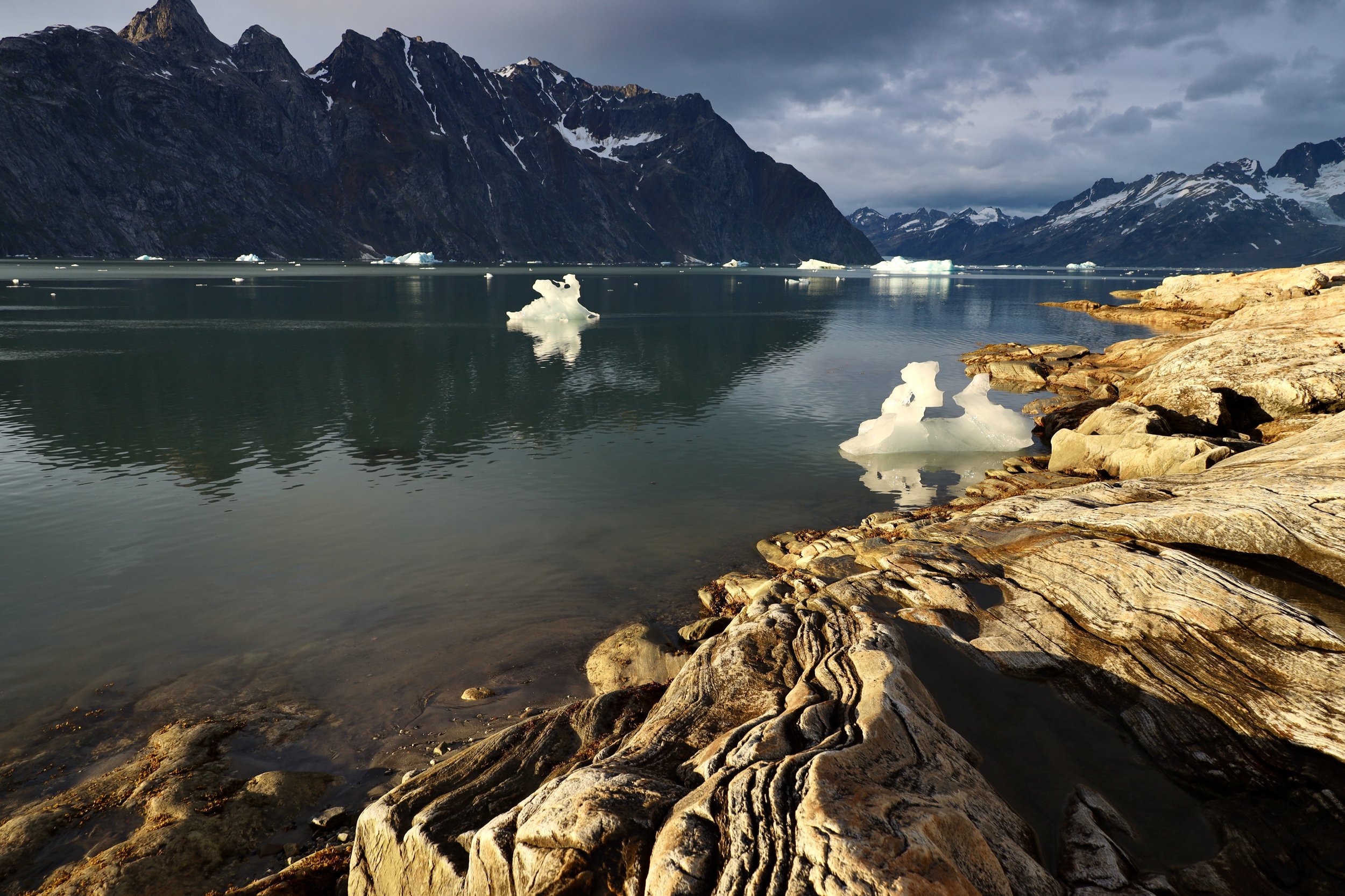
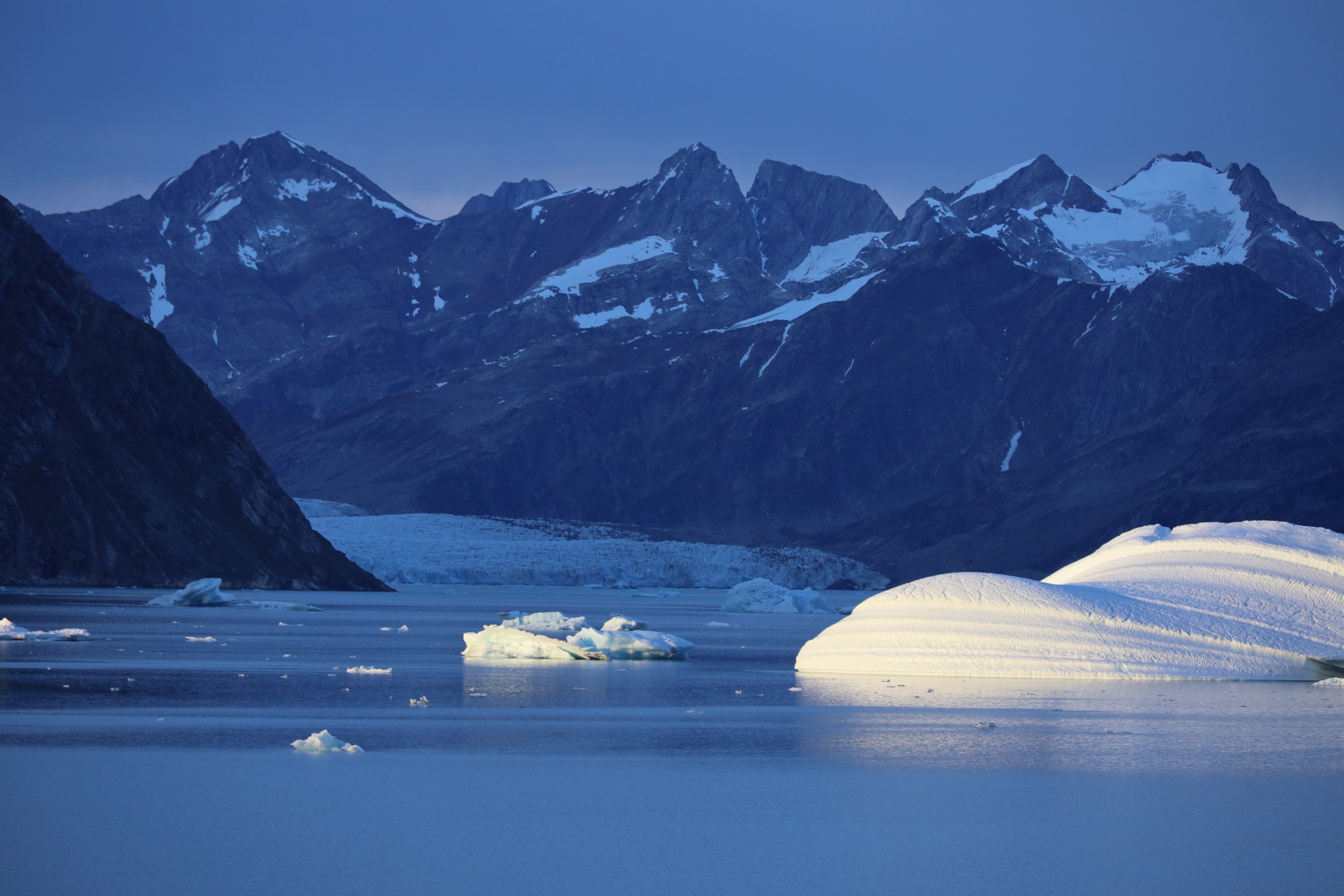
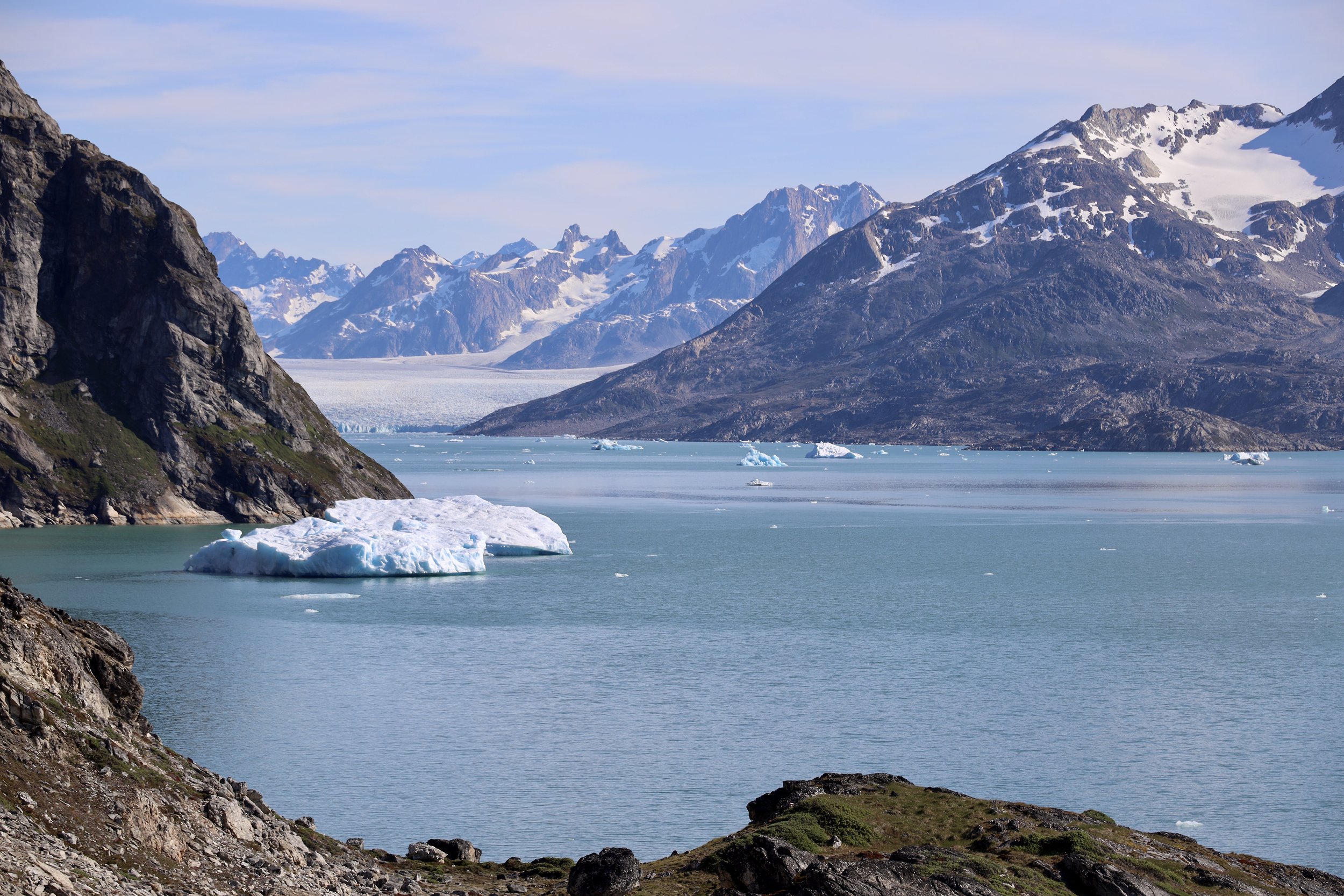
Icebergs are like sculptures that are in constant motion and transition. Not two are the same. The colour and intensity change with the light and water.
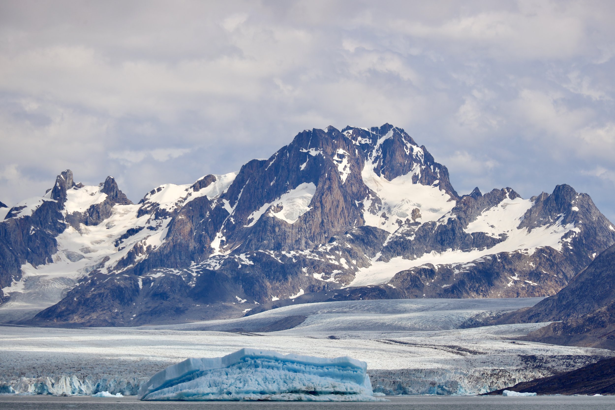
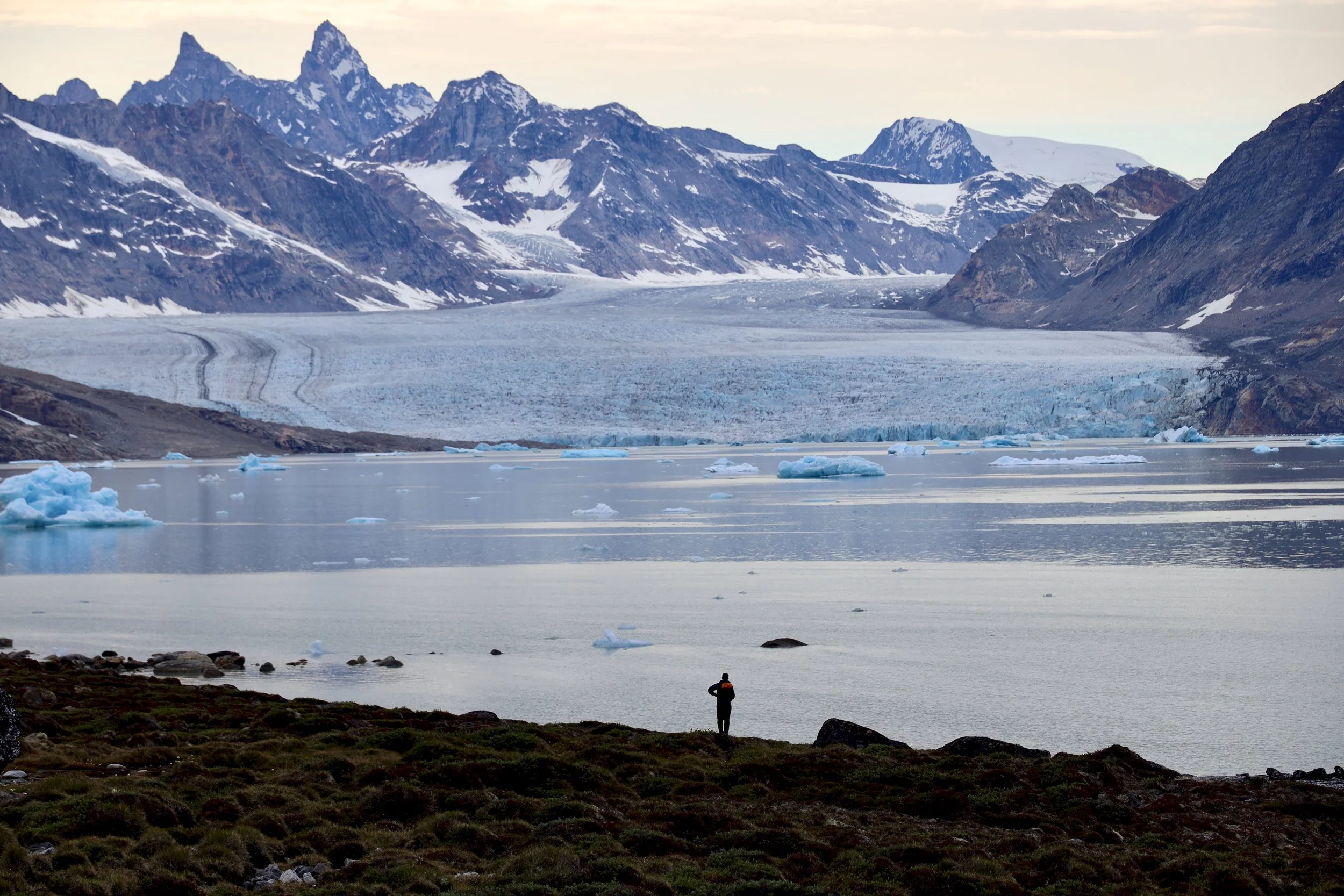
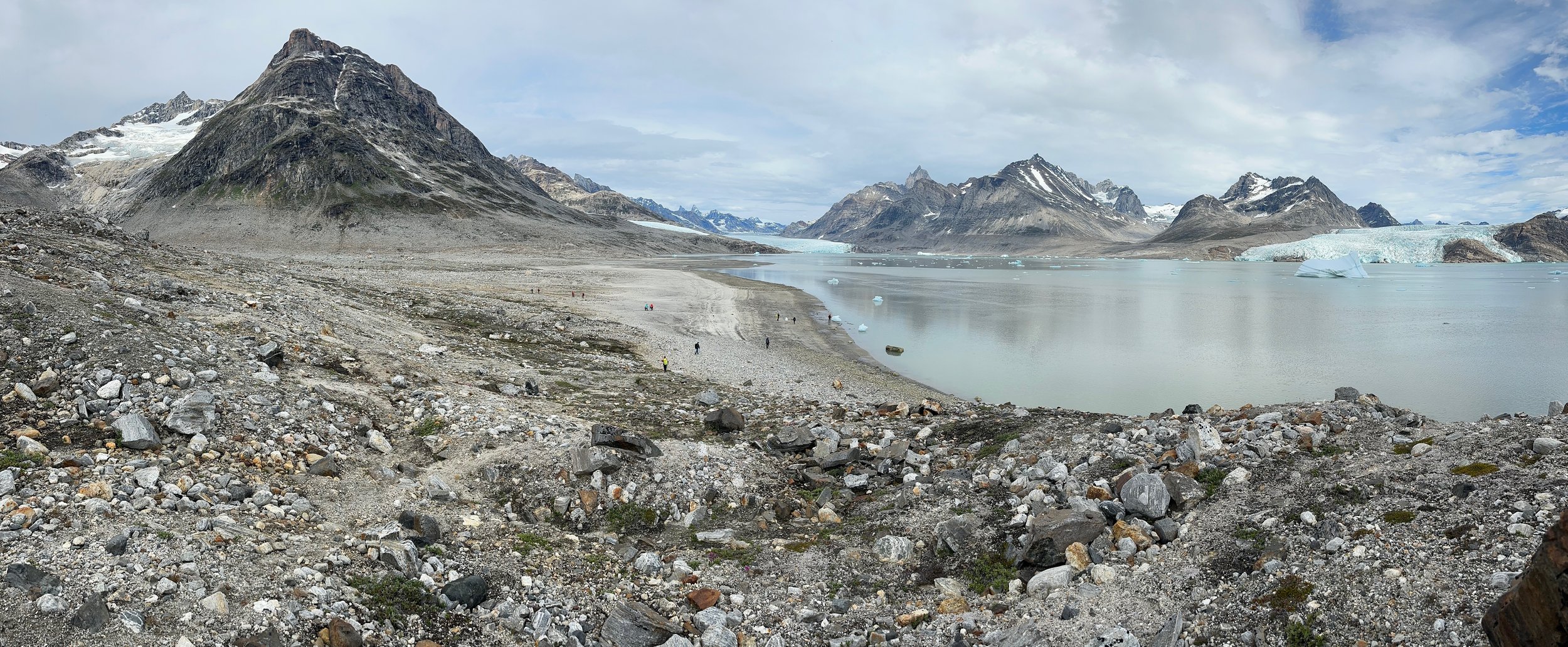
As we approached the Karale area, massive glaciers came into view. This is the Knud Rasmussen Glacier. These glaciers dislodge the ice chunks that become icebergs. Sometimes it is difficult to believe that the huge icebergs come from glaciers.
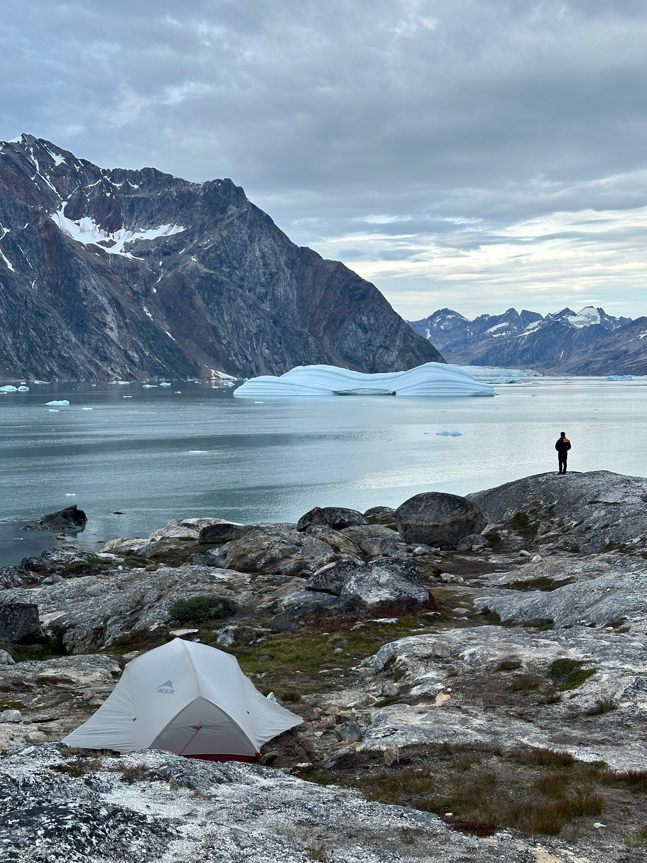
Karale - our campsite for two nights.
The Karale Glacier
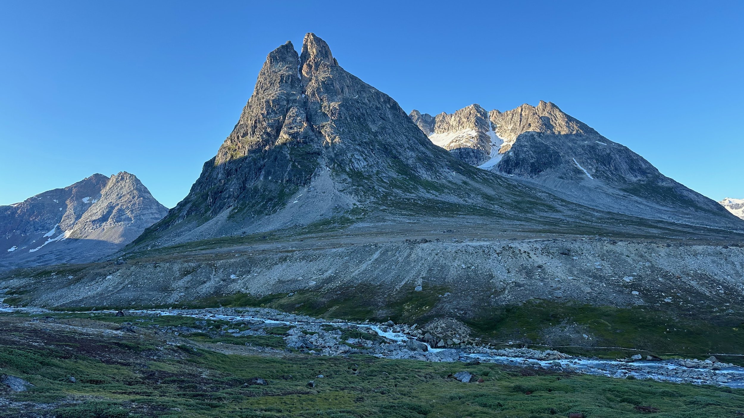
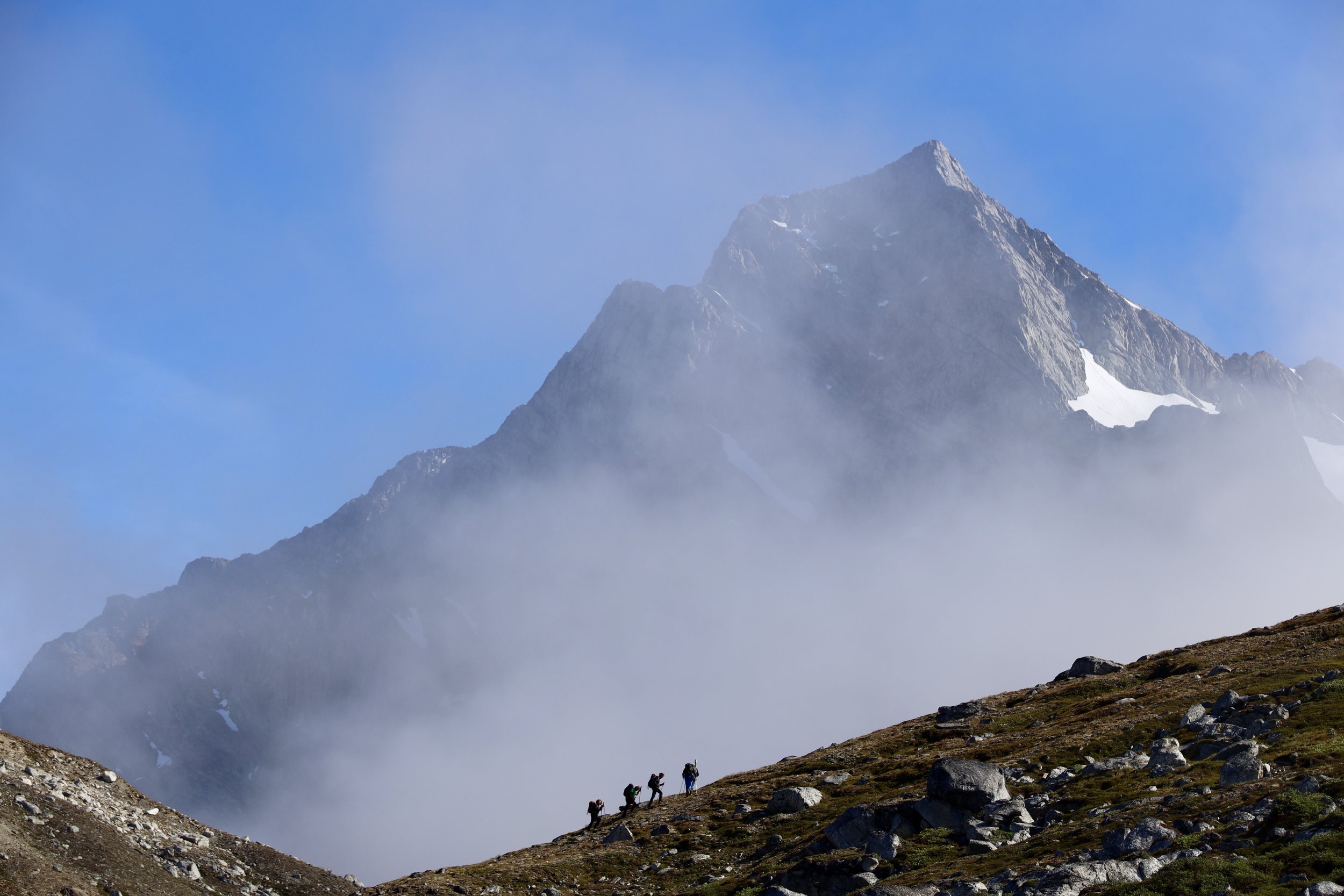
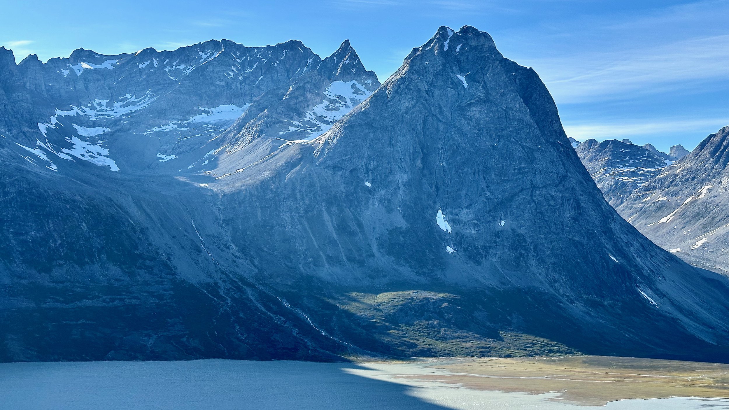
The Karale Glacier. The pointy peak’s name is The Big Brother (elevation 2230m). Considering that it is so close to the sea (0m), the prominence is at par with the high ranges such as Karakoram or Himalaya. The vertical relief of Ama Dablam in the Khumbu in Nepal for instance, is only 1100m.
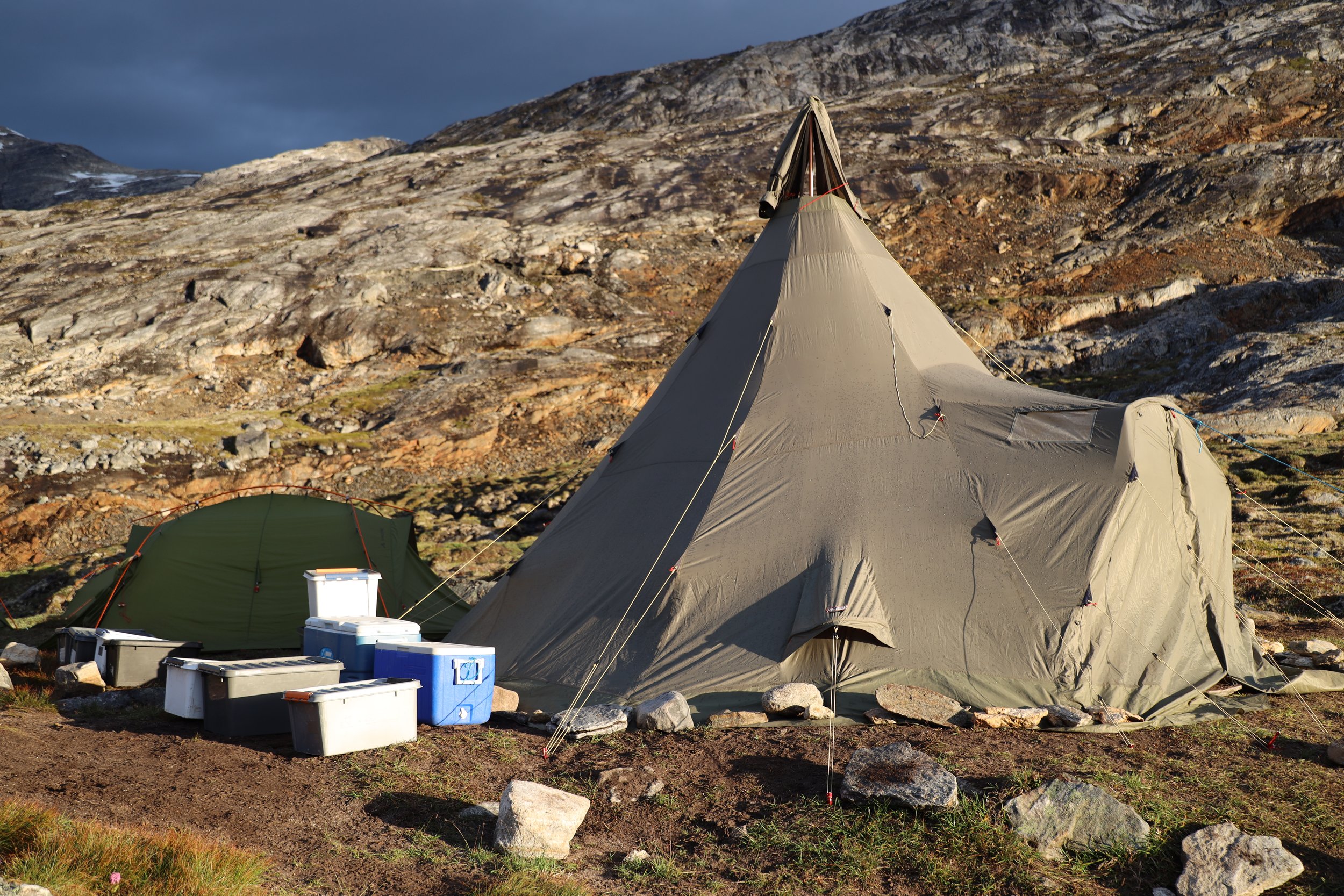
The mess tent is a conical design used since early Arctic expeditions. It is easy and quick to set up and bring down.
Drone photos of the Karale Fjord.
The northern arm of the Karale Glacier. Not long ago both arms of the glacier in the photo were connected.
We are almost at the latitude of the Arctic Circle - 66.3 degrees north.
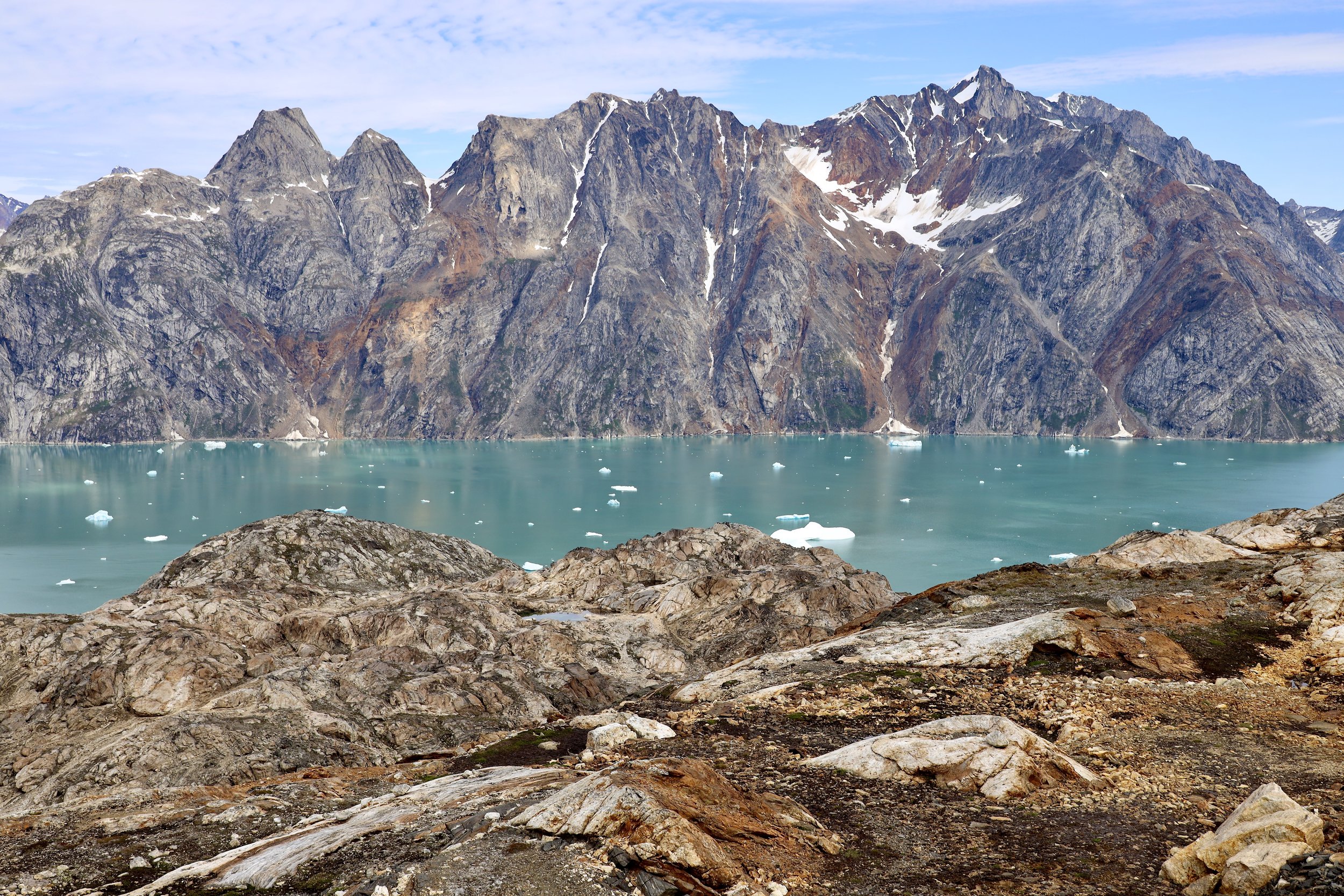
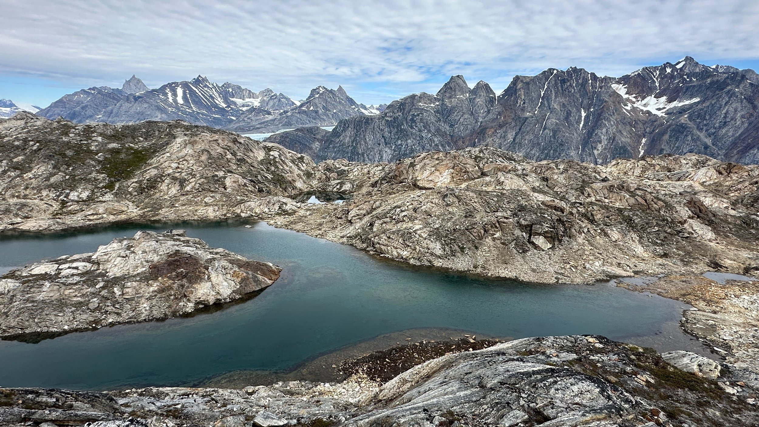
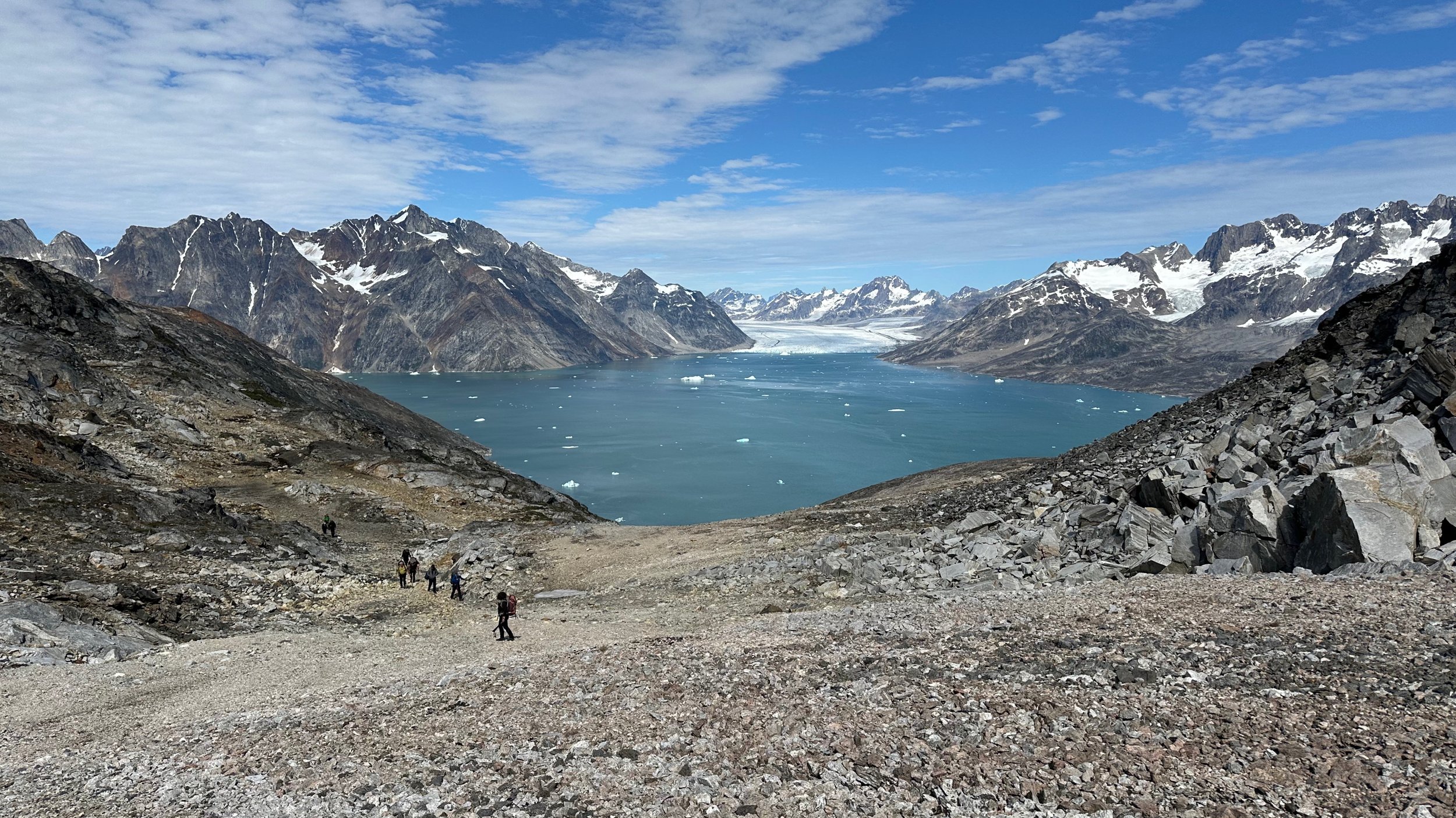
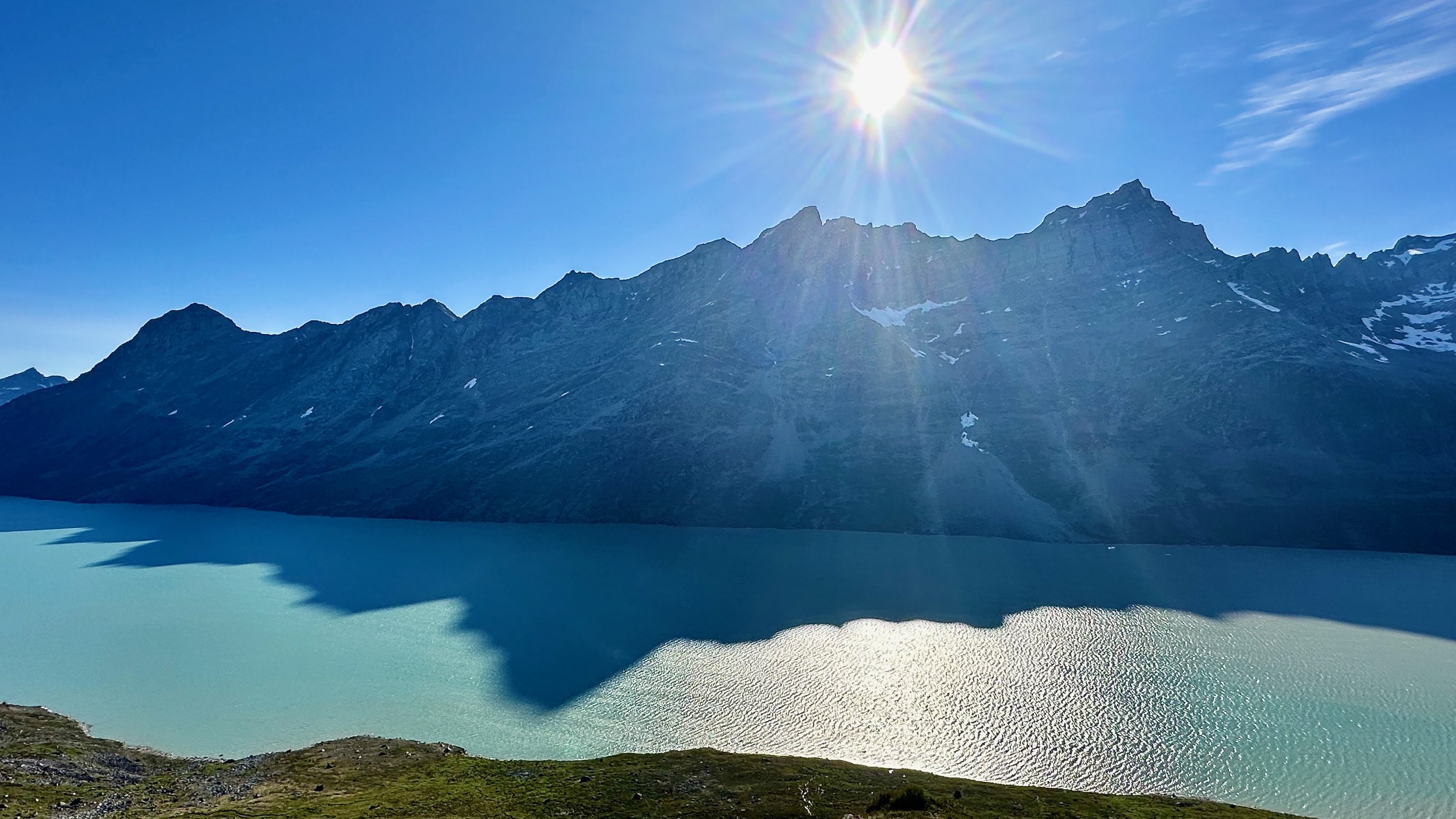
Beautiful views over the Karale Fjord from a small pass
Spectacular views to the fjord and the massive glaciers
Arctic foxes were in each camp. They were looking for food and would take anything that they could carry away. Cute but sneaky.
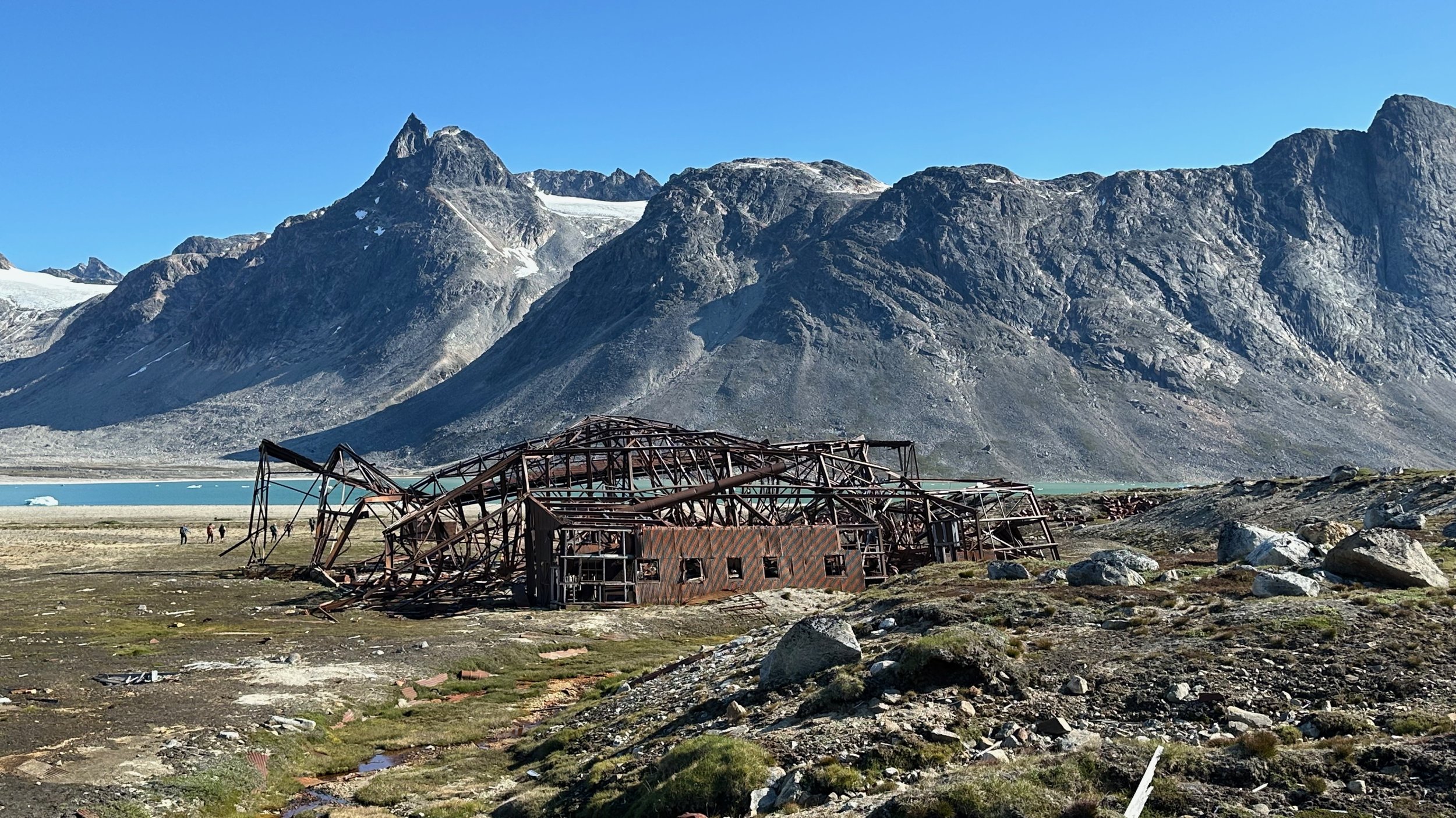
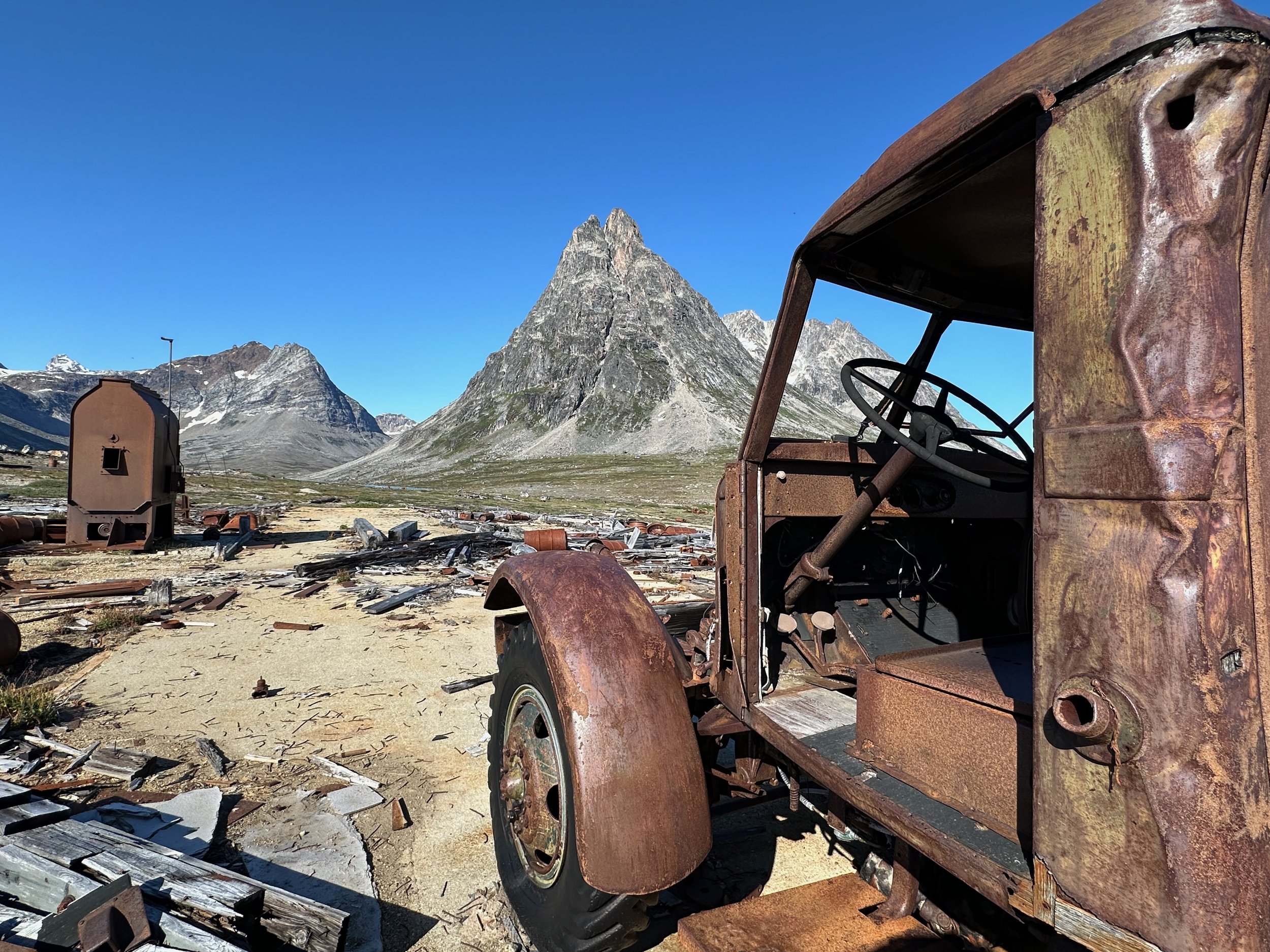
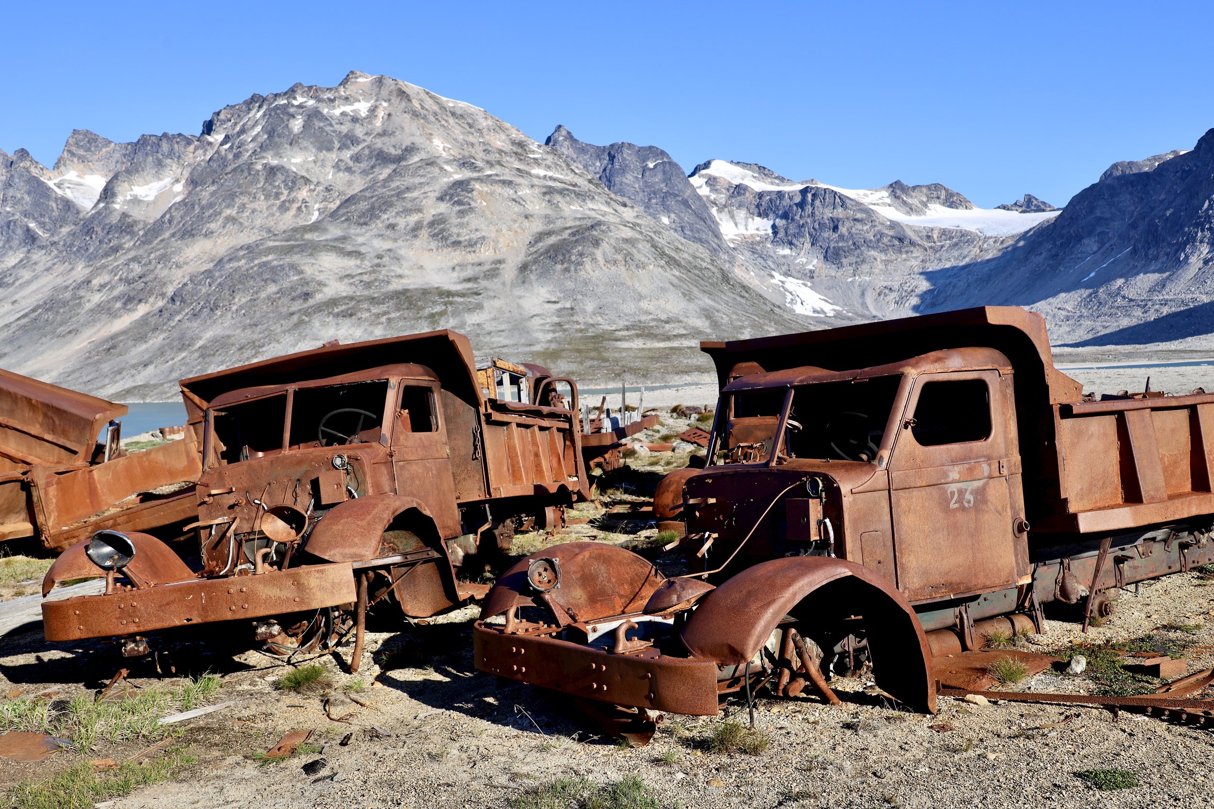
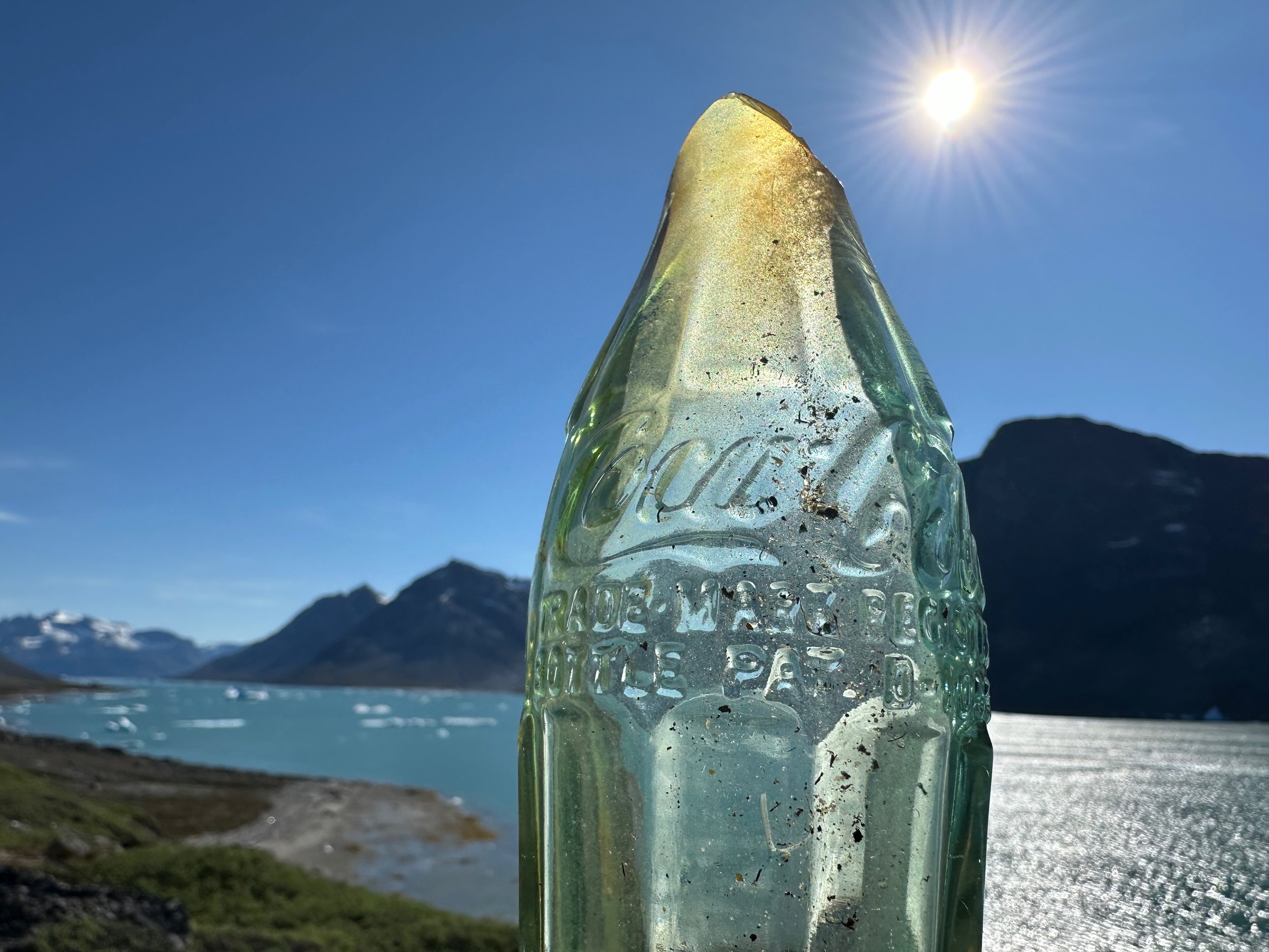
An abandoned US military base from WW2. This base was used to refuel flights from the US to England. After the war ended, the US military abandoned the base leaving everything behind: hundreds of empty fuel drums, trucks, generators and hundreds of Coca-Cola bottles. It is fascinating to explore and photograph but also a visual scar on this pristine land.
I want these tires for my car! Sitting in the open for 80 years, exposed to an intense UV radiation but intact and inflated!
The Americans were here :-)
IkateqFjord
Ikateq Fjord - the icebergs float by like giant ships
Ikateq Fjord
Ikateq Fjord
"The Wings of Desire" :-)
We required a “short” shuttle as we could not cross a river delta due to high water levels. The ride was 30 km long to get us to a spot 5 km away. Unfortunately it required a circumnavigation of a small island and a high speed race through the open sea. I got thoroughly wet and cold from the water splash as I wore my hiking clothes only expecting a short shuttle. I should have dressed like the locals in the photo below!
Navigating tightly packed sea ice. Sometimes you can’t see much from the low boat.
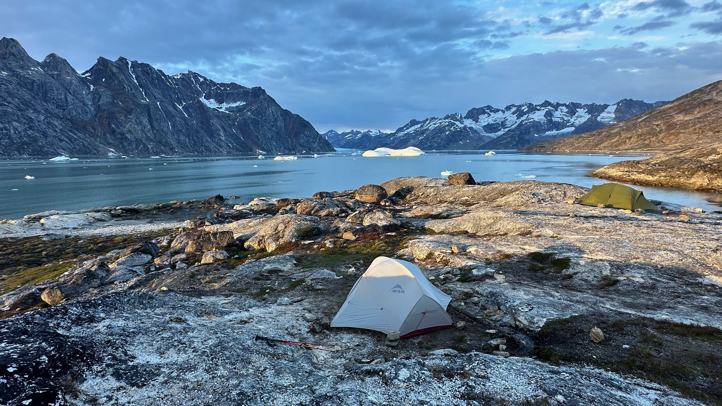
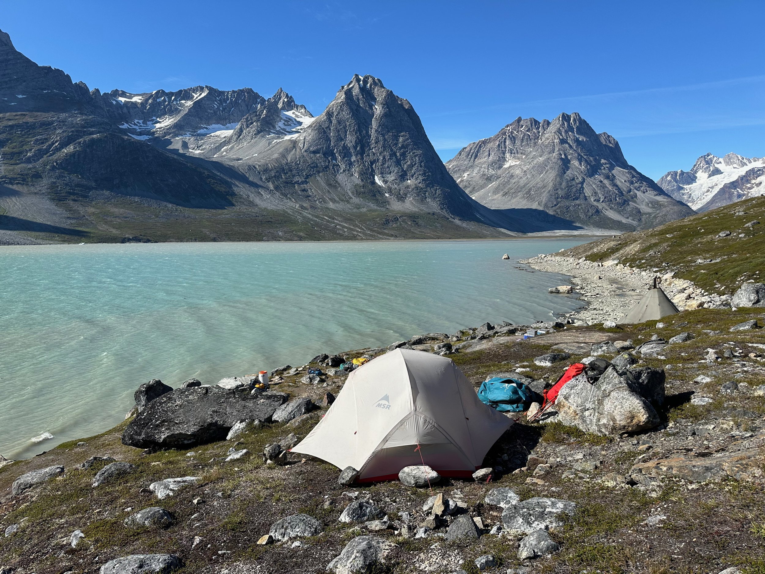
This campsite was 5 km from the village of Kumiut. It was situated on a quiet inlet with Caribbean coloured water.
Our resupply walk to Kumiut
The small village of Kumiut. The village is located at the entrance to the Taliisaq Fjord, our next destination.
Kumiut
Kumiut Harbour
Kumiut Harbour
Looking across the bay from our campsite. The boat ride was from the opposite end of the sand bar (which is the mouth of a large river that we could not cross). What looks close by, required a 30km detour by boat.
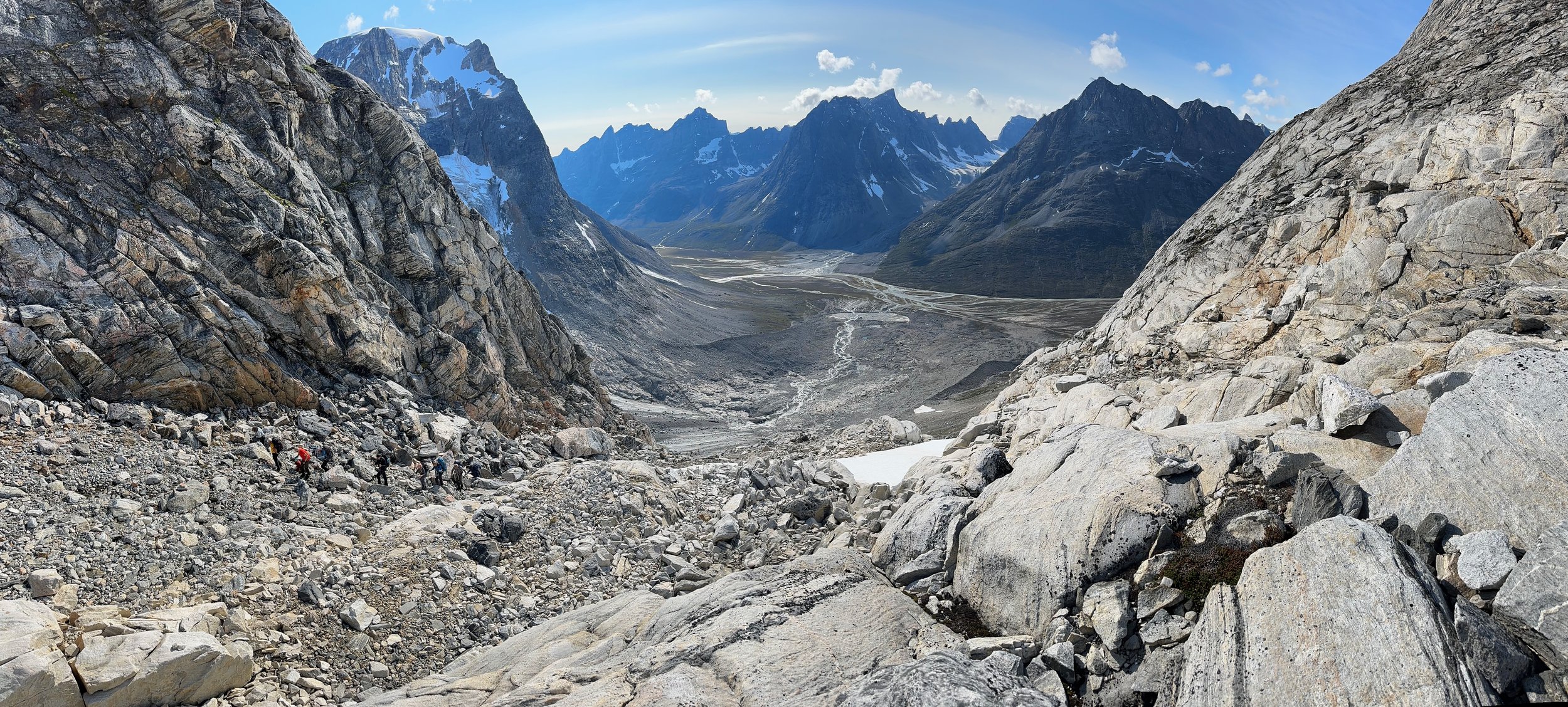
Crossing a small pass to the Tasiilaq Fjord
Nature's water fountain
Another beautiful spot at the Tasiilaq Fjord. This is an Arctic night photo taken around midnight.
Tasiilaq Fjord from the drone. The pointy peak at the end of the Fjord is the Big Brother which we also saw from the Karale Fjord.
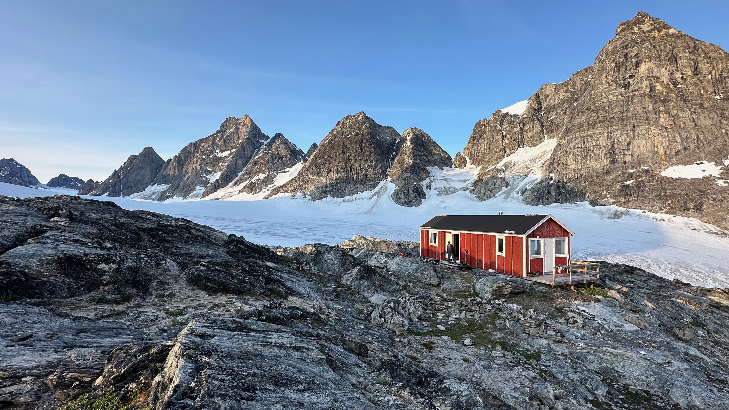
The Tasiilaq mountain hut is located behind the mountains in the foreground.
Looking back along the Tasiilaq Fjord.
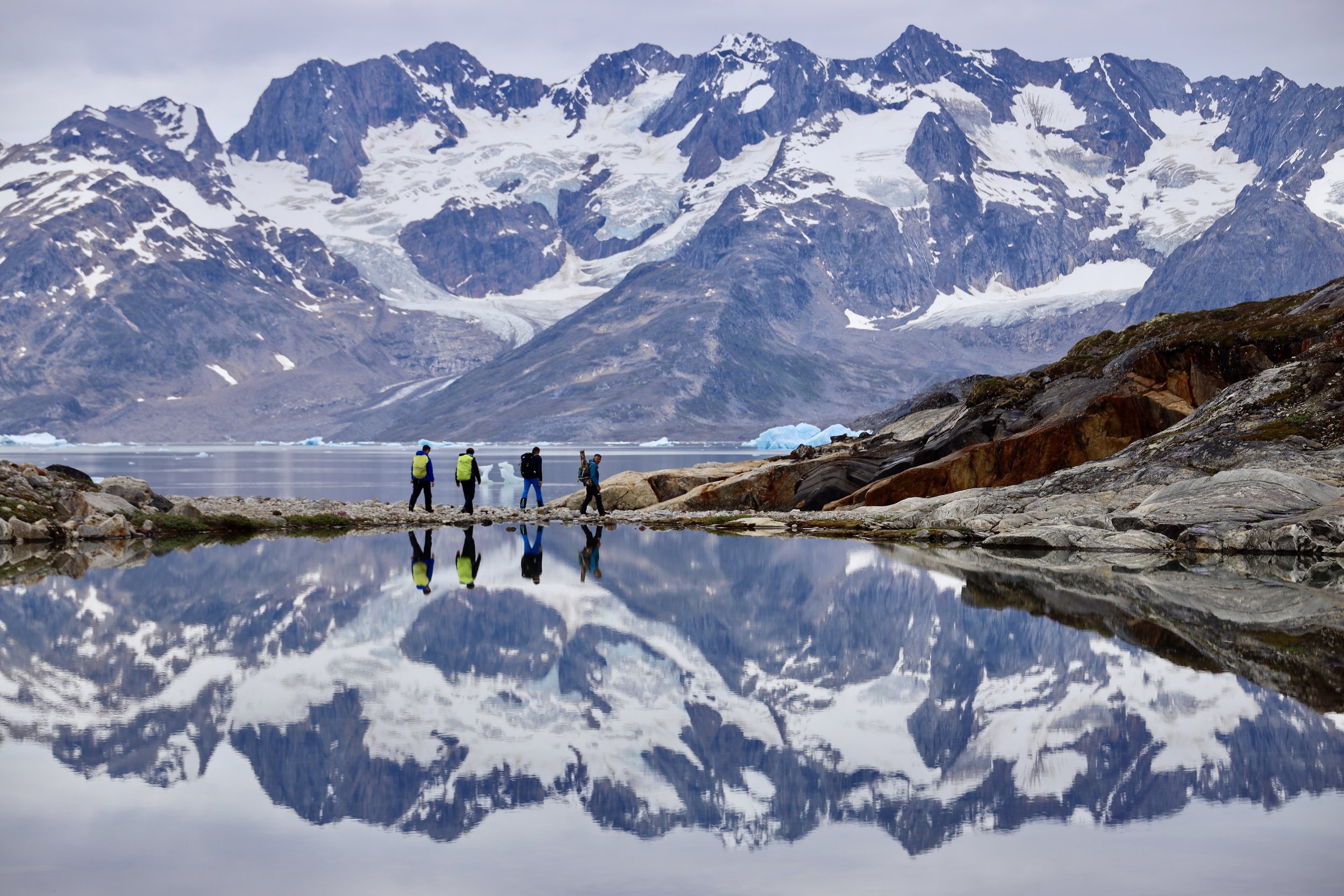
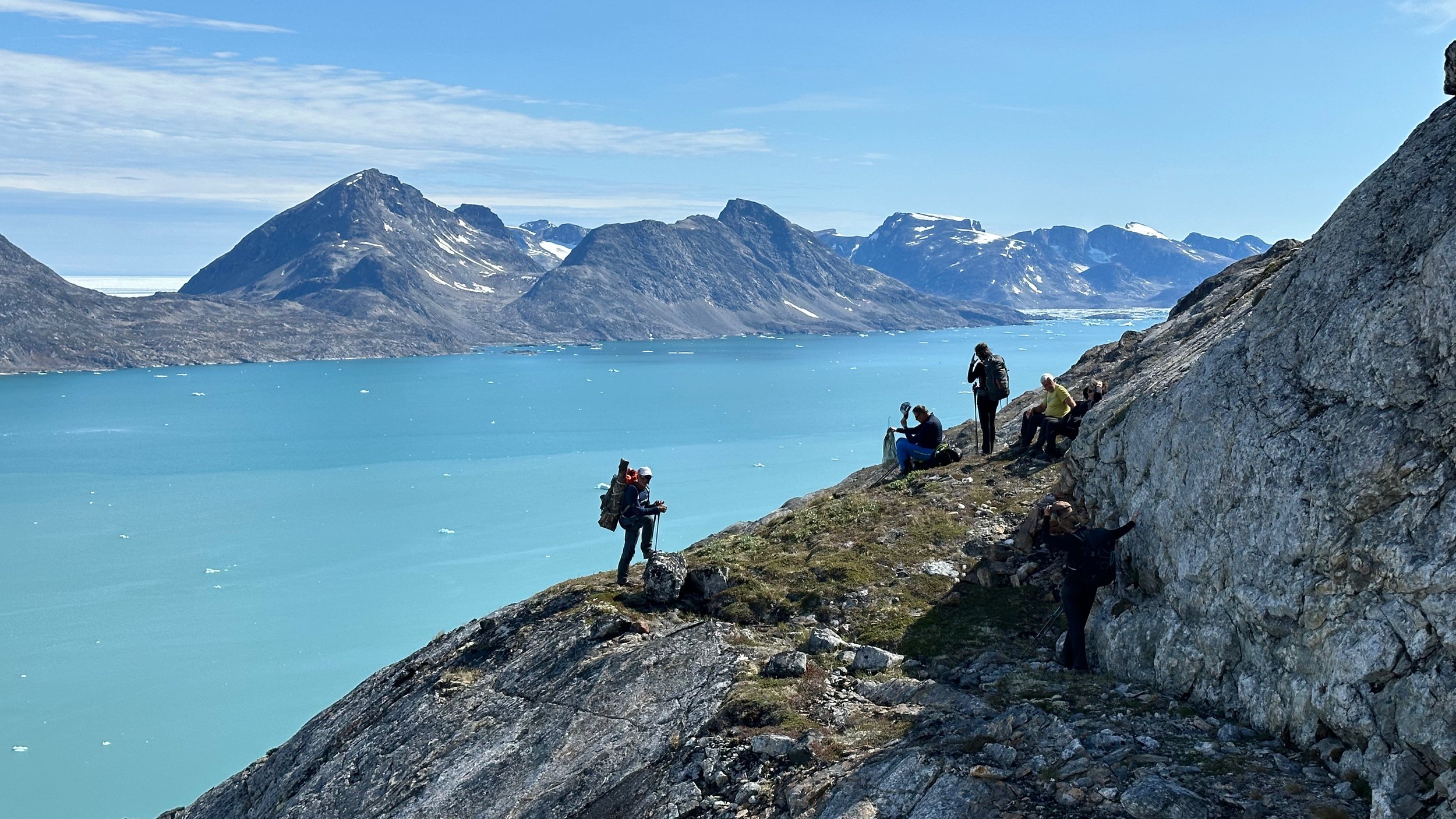
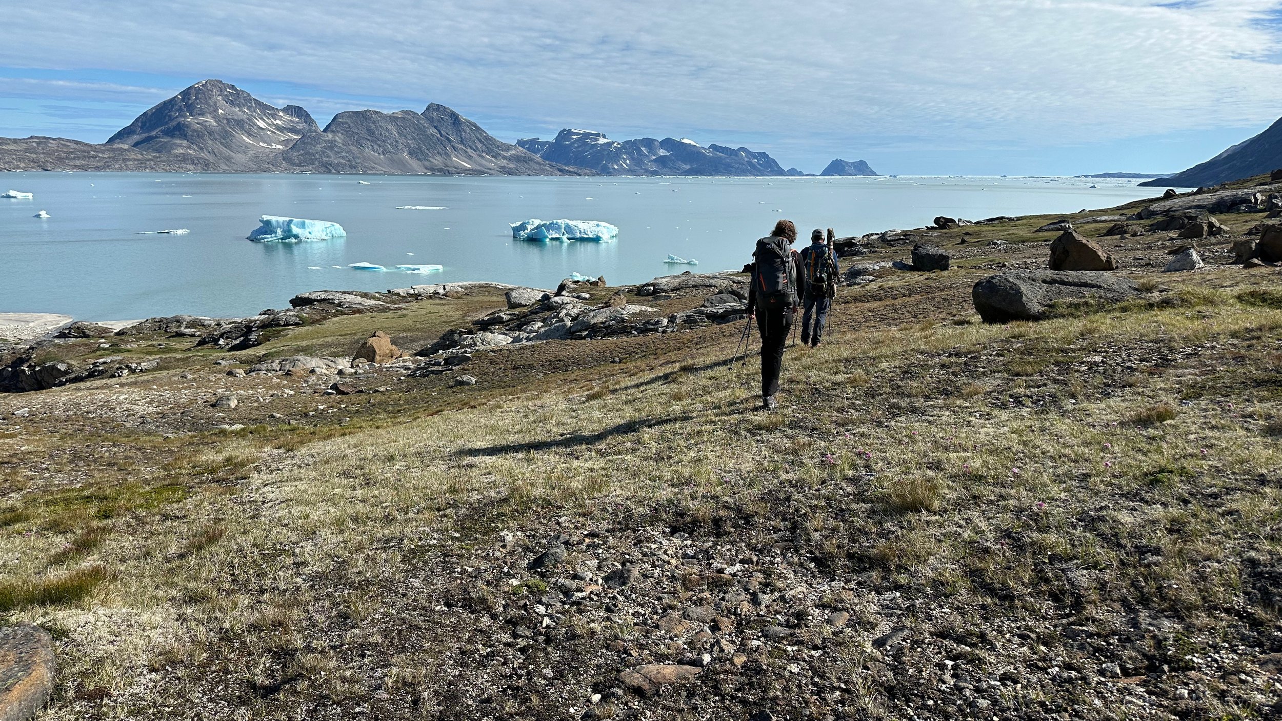
The area along the Tasiilaq Fjord
Camp 2 along the Tasiilaq Fjord.
A small hike above our cap at the Tasiilaq Fjord. If you zoom in, you can see the pointy mess tent along the shore far below.
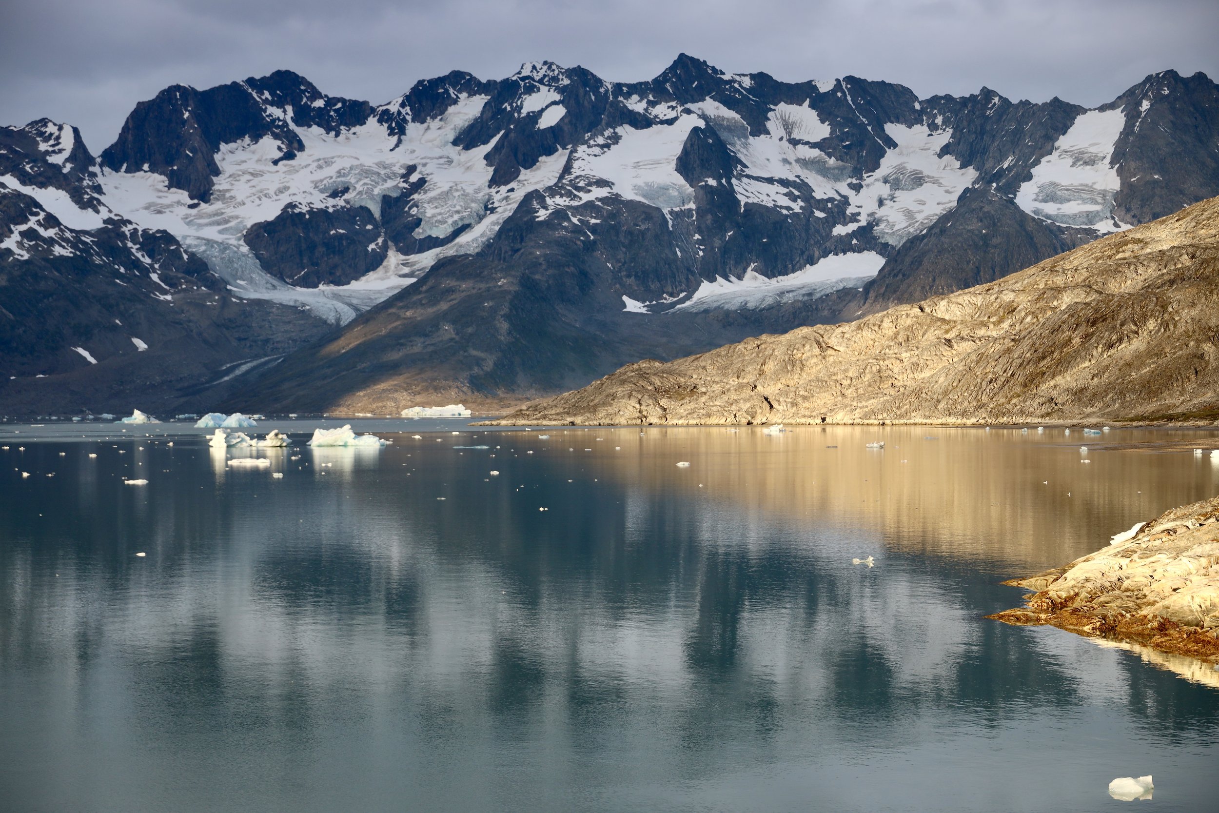
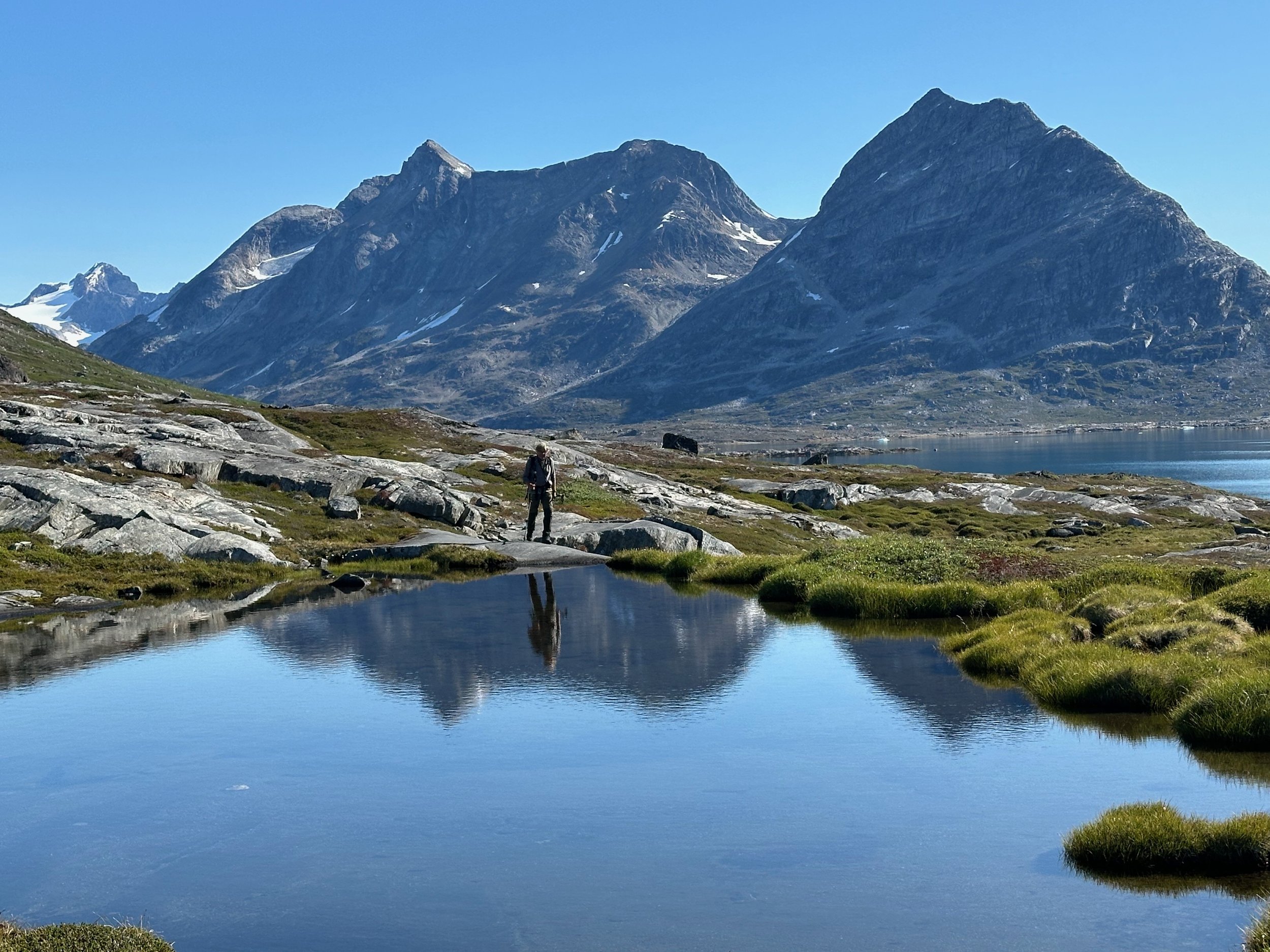
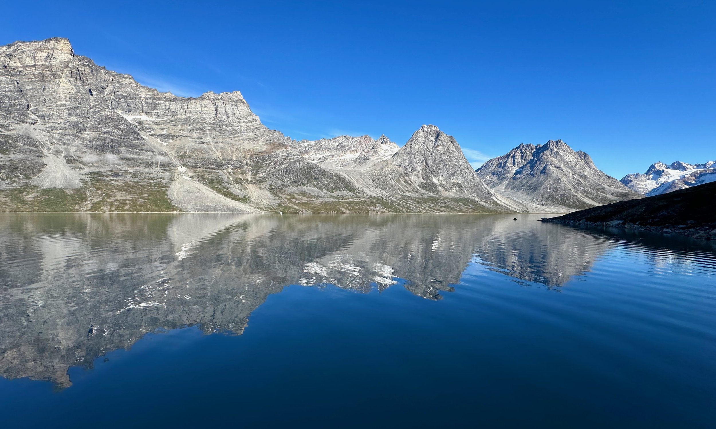
The calm waters of the Tasiilaq Fjord
Here the landscape is very Patagonia-like.
The end of Tasiilaq Fjord
A small snow gully blocks the otherwise easy access the Tasiilaq mountain hut.
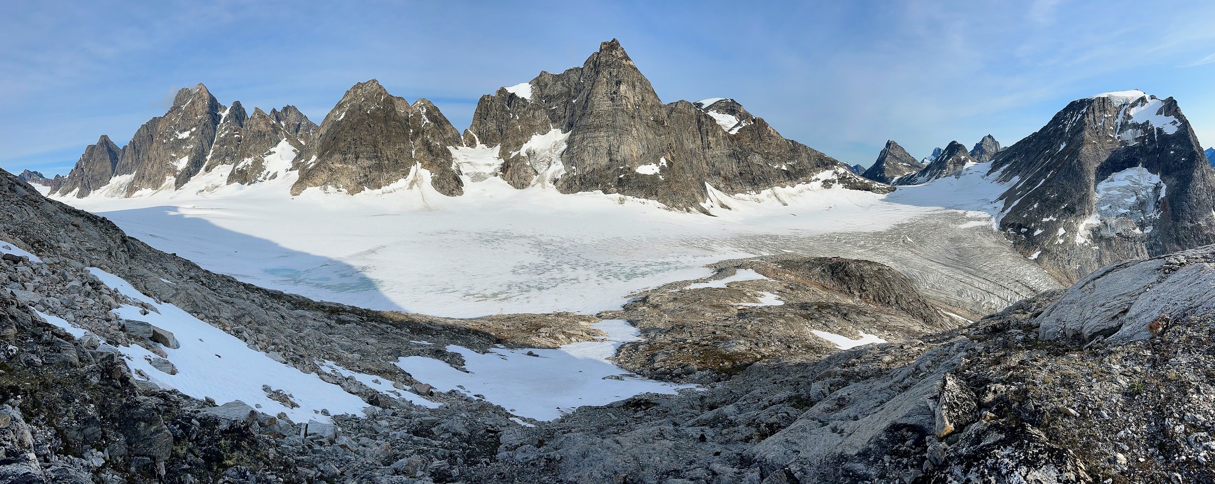
Tasiilaq mountain hut - a great base for exploring and climbing in this area.
A loo with a view. Of course you leave the door open to admire the spectacular surroundings!
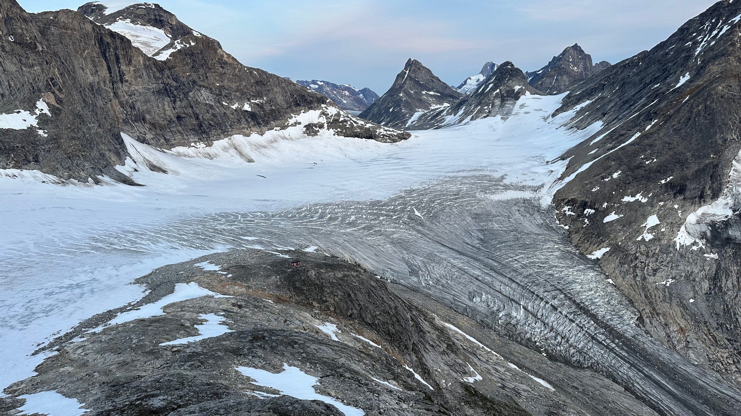
Hiking in the hills around the hut. You can see the hut on a rocky promontory on the right of the photo.
Climbing a small mountain behind the hut.
You can see the red hut far below.
Hiking around 11 pm. You can hike all night as it does not get dark.
A pairing in the mountain hut of the scene right outside the front door.
On our return journey, the weather shifted. We were very lucky with the sunny and windless conditions.
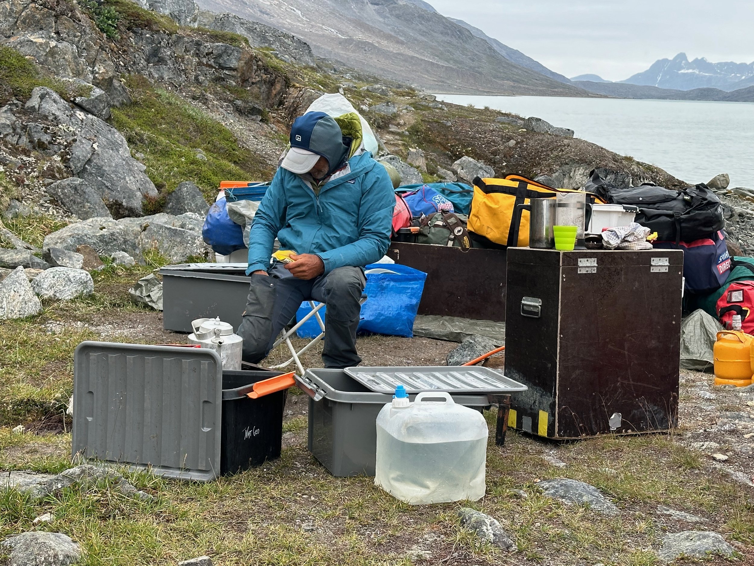
Waiting for the boat to Kulusuk surrounded by the mountain of our crap.
Spectacular scenery of the Tasiilaq Fjord in changing weather. The incoming fog and rain would cancel out flight the following day.
The trek blog in the Kulusuk Hotel :-)

