Annapurna Circuit via Mesocanto Pass Photos

map-manaslu-trekking.jpg
annapurna-circuit-trekking-map.jpg
Nepal__Tilicho_trekking_map_general__230.jpg
The Great Barrier, Tilicho Lake, Rock Noir (on the left) and Annapurna I (far ridge)

The Great Barrier, Tilicho Lake, Rock Noir (on the left) and Annapurna I (far ridge)

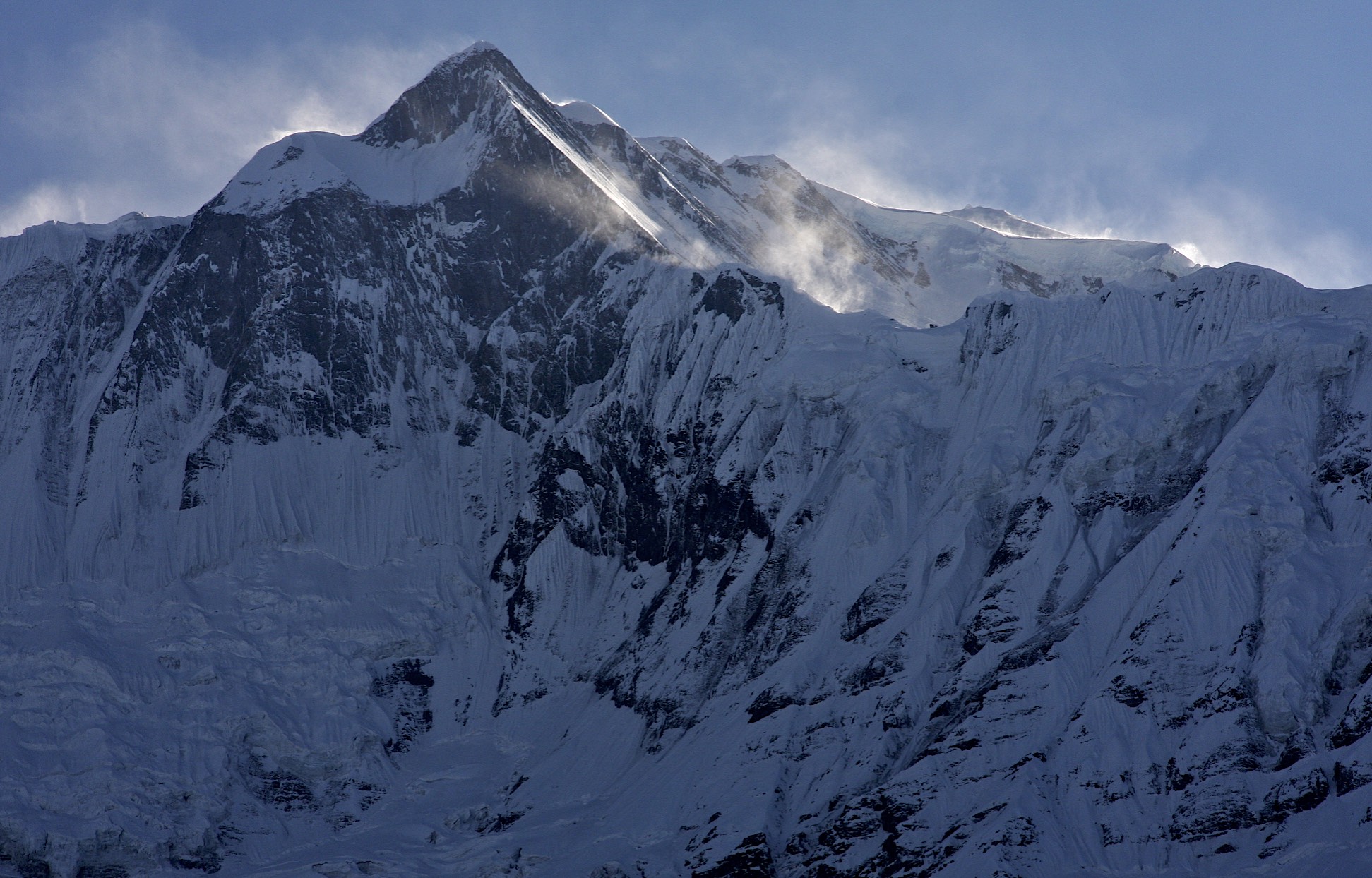
Fore-summit of Annapurna II from Upper Pisang

Fore-summit of Annapurna II from Upper Pisang

2011-11-05 at 21-18-42.jpg
Annapurna III

Annapurna III

2011-11-05 at 22-20-46.jpg
A friendly lady in the Upper Pisang Village

A friendly lady in the Upper Pisang Village

Upper Pisang Village

Upper Pisang Village

Upper Pisang Village

Upper Pisang Village

Annapurna III

Annapurna III

Newal with Tilicho Peak in the distance

Newal with Tilicho Peak in the distance

Near Newal village

Near Newal village

2011-11-06 at 02-55-38.jpg
The village of Barga.

The village of Barga.

Barga and Annapurna II

Barga and Annapurna II

Annapurna II and Annapurna IV

Annapurna II and Annapurna IV

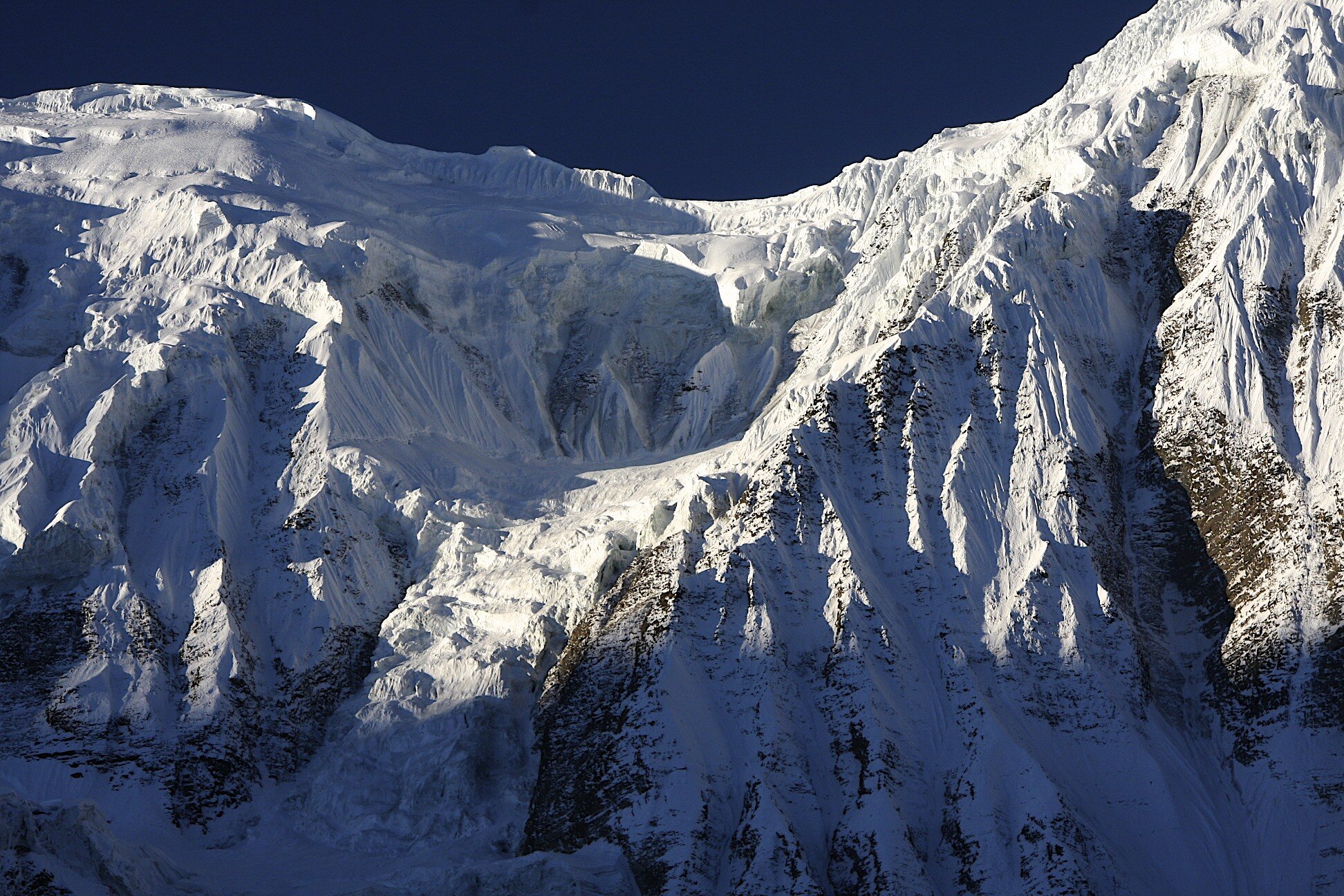
The east ridge of Annapurna II

The east ridge of Annapurna II

Annapurna III and Gangapurna from Manang

Annapurna III and Gangapurna from Manang

The village of Manang

The village of Manang

Gangapurna

Gangapurna

Manaslu in the distance

Manaslu in the distance

2011-11-06 at 21-58-00.jpg
The trail to Tilicho Lake and the Tilicho Peak in the distance

The trail to Tilicho Lake and the Tilicho Peak in the distance

Peak 29 in the Manslu Himal

Peak 29 in the Manslu Himal

Gangapurna

Gangapurna

2011-11-07 at 01-30-04.jpg
2011-11-07 at 02-07-02.jpg
2011-11-07 at 02-24-18.jpg
2011-11-07 at 02-38-46.jpg
2011-11-07 at 02-55-09.jpg
2011-11-07 at 03-08-35.jpg
2011-11-07 at 02-19-17.jpg
2011-11-07 at 04-00-33.jpg
Roc Noir and the ridge to Annapurna I

Roc Noir and the ridge to Annapurna I

Roc Noir and Annapurna I

Roc Noir and Annapurna I

The approach to Tilicho Lake. The white mountains on the left are the Chulu Peaks.

The approach to Tilicho Lake. The white mountains on the left are the Chulu Peaks.

Pisang Peak on the right and the Himlung group on the right. The Kangla Pass is in the centre.

Pisang Peak on the right and the Himlung group on the right. The Kangla Pass is in the centre.

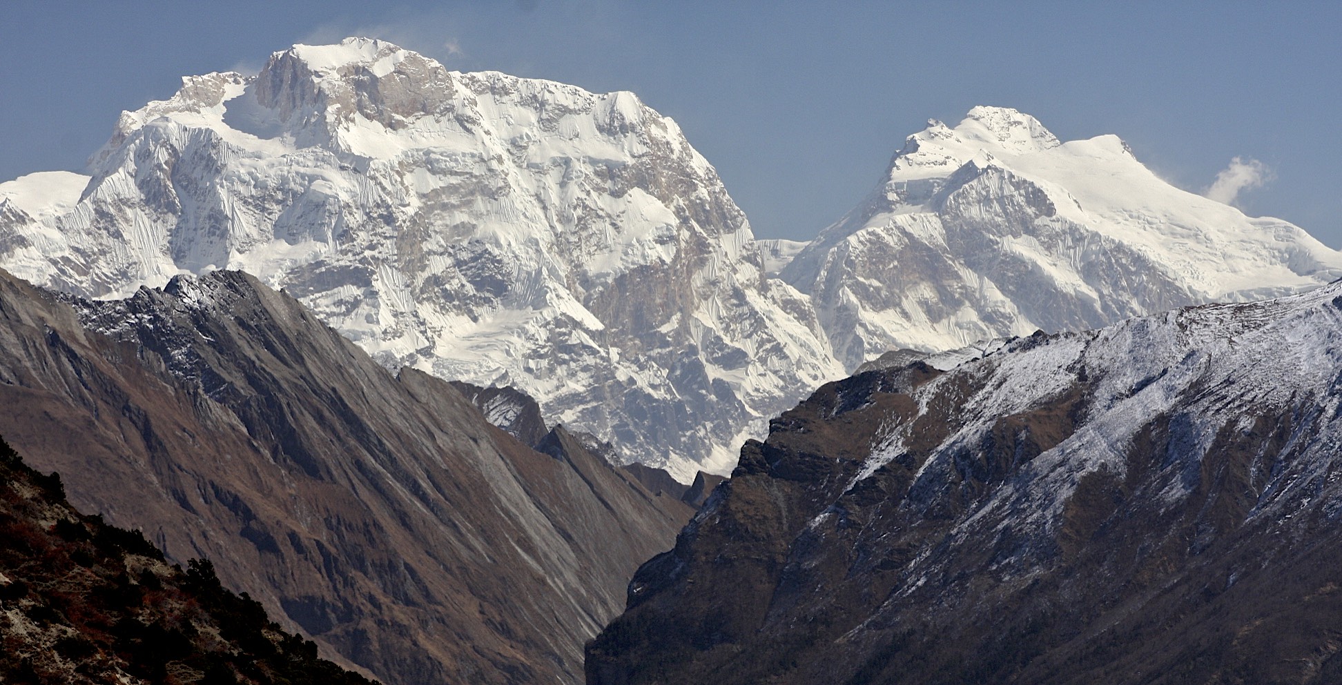
Manaslu from the approach to the Tilicho Lake. We came from behind Manaslu.

Manaslu from the approach to the Tilicho Lake. We came from behind Manaslu.

The Great Barrier

The Great Barrier

Rock Noir and the Great Barrier

Rock Noir and the Great Barrier

IMG_4562.jpeg
2011-11-07 at 22-53-58.jpg
Tilicho Lake - the highest lake in the world at 4,919m.

Tilicho Lake - the highest lake in the world at 4,919m.

Tilicho Lake

Tilicho Lake

Tilicho Lake is located at an altitude of 4,919m. It is the highest lake int he world.

Tilicho Lake is located at an altitude of 4,919m. It is the highest lake int he world.

IMG_4399.jpeg
IMG_4418.jpeg
Beautiful Tilicho Lake and the Great Barrier

Beautiful Tilicho Lake and the Great Barrier

The Great Barrier

The Great Barrier

Tilocho Lake, the highest lake in the world.

Tilocho Lake, the highest lake in the world.

Tilicho Lake

Tilicho Lake

IMG_4493.jpeg
IMG_4504.jpeg
IMG_4513.jpeg
From the left: Roc Noir, Annapurna I, Great Barrier and the Tilicho Lake

From the left: Roc Noir, Annapurna I, Great Barrier and the Tilicho Lake

IMG_4423.jpeg
IMG_4425.jpeg
2011-11-08 at 20-28-09.jpg
The first pass of the two passes on the Meosocanto area

The first pass of the two passes on the Meosocanto area

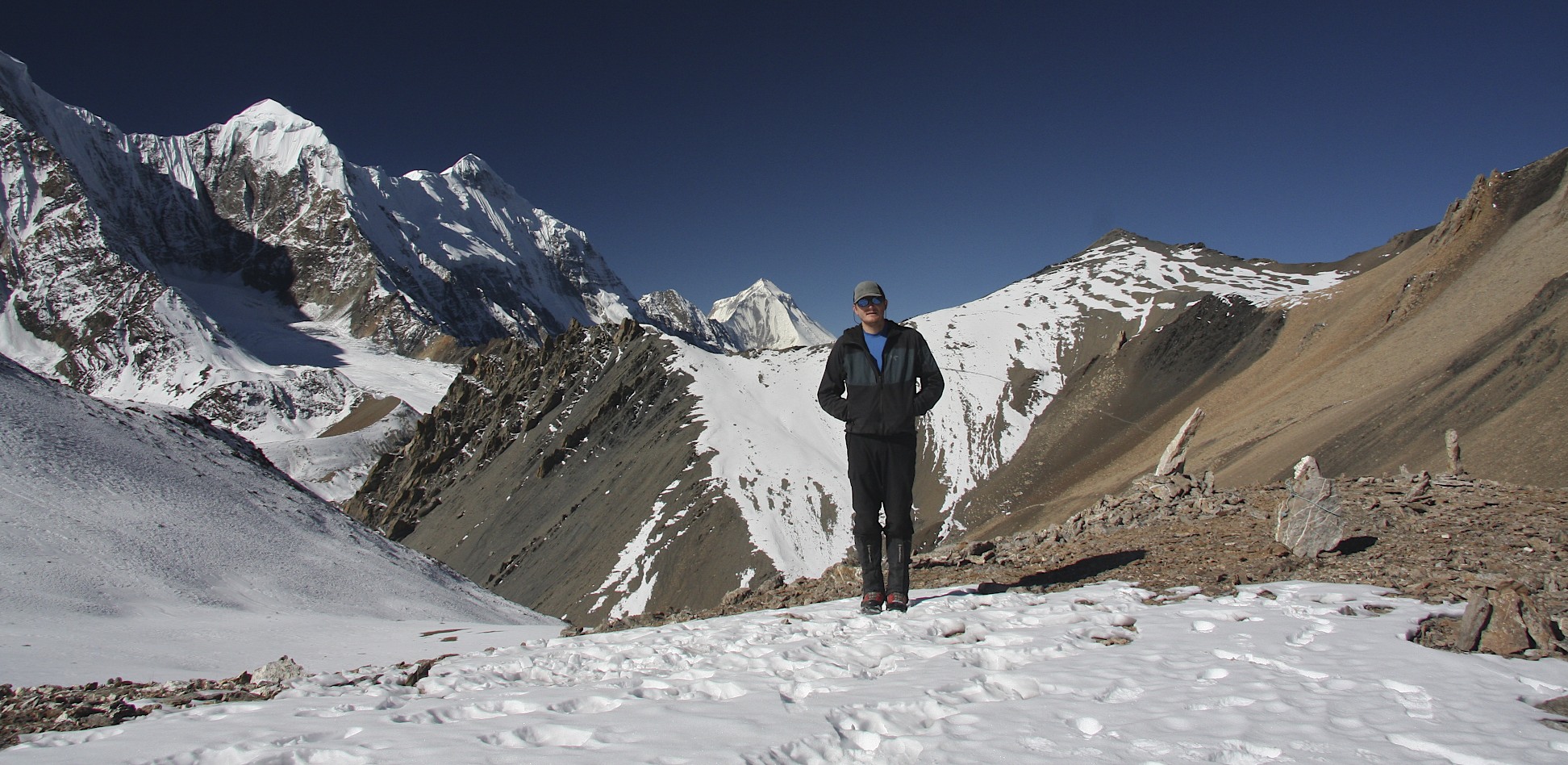
Mesocanto Pass and the mountains of the Dhaulagiri Himal

Mesocanto Pass and the mountains of the Dhaulagiri Himal

Long traverse to the Mesocanto Pass with Dhaulagiri on the left.

Long traverse to the Mesocanto Pass with Dhaulagiri on the left.

Nilgiri Peak 7,061m and Dhaulagiri I

Nilgiri Peak 7,061m and Dhaulagiri I

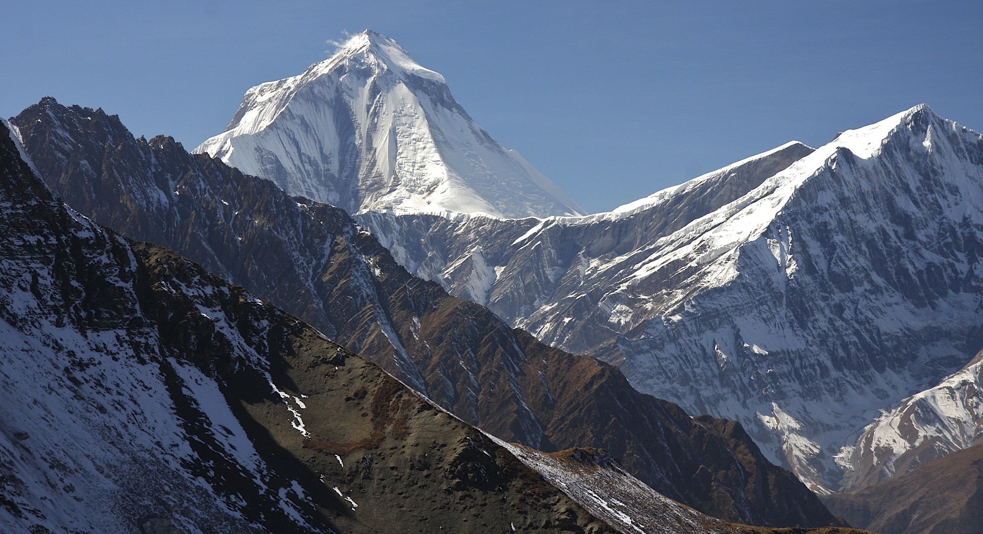
Dhaulagiri I from the way to the Mesocanto Pass

Dhaulagiri I from the way to the Mesocanto Pass

Looking back from Mesocanto Pass at the Manaslu Himal (Peak 29 on the left) and the Annapurna Himal (Annapurna II on the right)

Looking back from Mesocanto Pass at the Manaslu Himal (Peak 29 on the left) and the Annapurna Himal (Annapurna II on the right)

Nilgiri Peak 7,061m in the Annapurna Himal

Nilgiri Peak 7,061m in the Annapurna Himal

Tilicho Peak ridge and lower slopes

Tilicho Peak ridge and lower slopes

2011-11-08 at 21-53-52.jpg
The Long traverse to the Mesocanto Pass with fabulous views along the way. Dhaulagiri dominates the horizon.

The Long traverse to the Mesocanto Pass with fabulous views along the way. Dhaulagiri dominates the horizon.

Gangapurna and Tilicho Lake

Gangapurna and Tilicho Lake

Nearing the Mesocanto Pass

Nearing the Mesocanto Pass

Mesocanto Pass and Dhaulagiri I

Mesocanto Pass and Dhaulagiri I

Mesocanto Pass and Tukche Peak behind

Mesocanto Pass and Tukche Peak behind

2011-11-08 at 23-08-15.jpg
Looking down from Mesocanto Pass

Looking down from Mesocanto Pass

The descent from Mesocanto Pass.

The descent from Mesocanto Pass.

Descent from Mesocanto Pass

Descent from Mesocanto Pass

The steep slope leading to Mesocanto Pass from the west.

The steep slope leading to Mesocanto Pass from the west.

2011-11-09 at 00-20-21.jpg

From left: Dhaulagiri I, Tukche Peak, Dhampus Pass, Jomsom

Dhaulagiri I

Dhaulagiri I

IMG_4714.jpeg
Looking across Kali Gandaki Valley with Jomsom below

Looking across Kali Gandaki Valley with Jomsom below

Dhampus Pass

Dhampus Pass

Tukche Peak next to the Dhampus Pass

Tukche Peak next to the Dhampus Pass

Dhaulagiri I and the Tukche Peak

Dhaulagiri I and the Tukche Peak

2011-11-09 at 01-33-54.jpg
2011-11-09 at 21-08-39.jpg
2011-11-09 at 22-23-38.jpg
Mesocanto Pass from Dhampus Pass

Mesocanto Pass from Dhampus Pass

Mesocanto Pass closeup from Dhampus Pass. You can see the incline of the slope down from the pass.

Mesocanto Pass closeup from Dhampus Pass. You can see the incline of the slope down from the pass.

The valley of Kali Ghandaki, Thorong La (right not he horizon)and Mesocanto Pass )left not he horizon) from Dhampus Pass.  Jomsom is on the left in the valley below.

The valley of Kali Ghandaki, Thorong La (right not he horizon)and Mesocanto Pass )left not he horizon) from Dhampus Pass. Jomsom is on the left in the valley below.

Approaching Jomsom with Dhaulagiri on the left.

Approaching Jomsom with Dhaulagiri on the left.

Kumar, me, Kam and Suri in Jomsom at the end of our journey.

Kumar, me, Kam and Suri in Jomsom at the end of our journey.