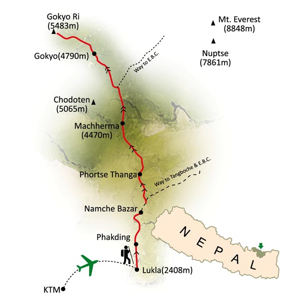
This post is from 2010 and 2022 trips. In 2010 we went to the Gokyo Valley via the Renjo La Pass after crossing Teshi Labtsa Pass, continued on to the Cho Oyu South base camp and walked all the way back to Lukla. In 2022, we also went to Cho Oyu BC, Gokyo Ri and continued on to Cho La Pass, Lobuche East Peak and then out to Lukla via Khumbu Valley. Thanks to Rajendra from Mountain Sun Valley for organizing this trip in 2010 and 2022.


Cho Oyu and Gyachung Kang 7952m

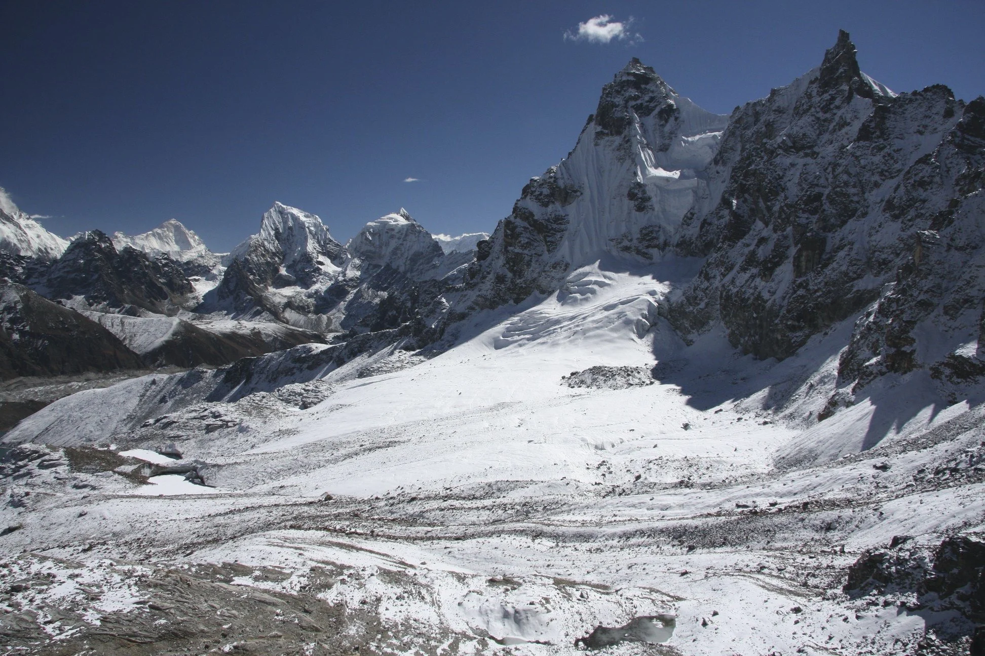
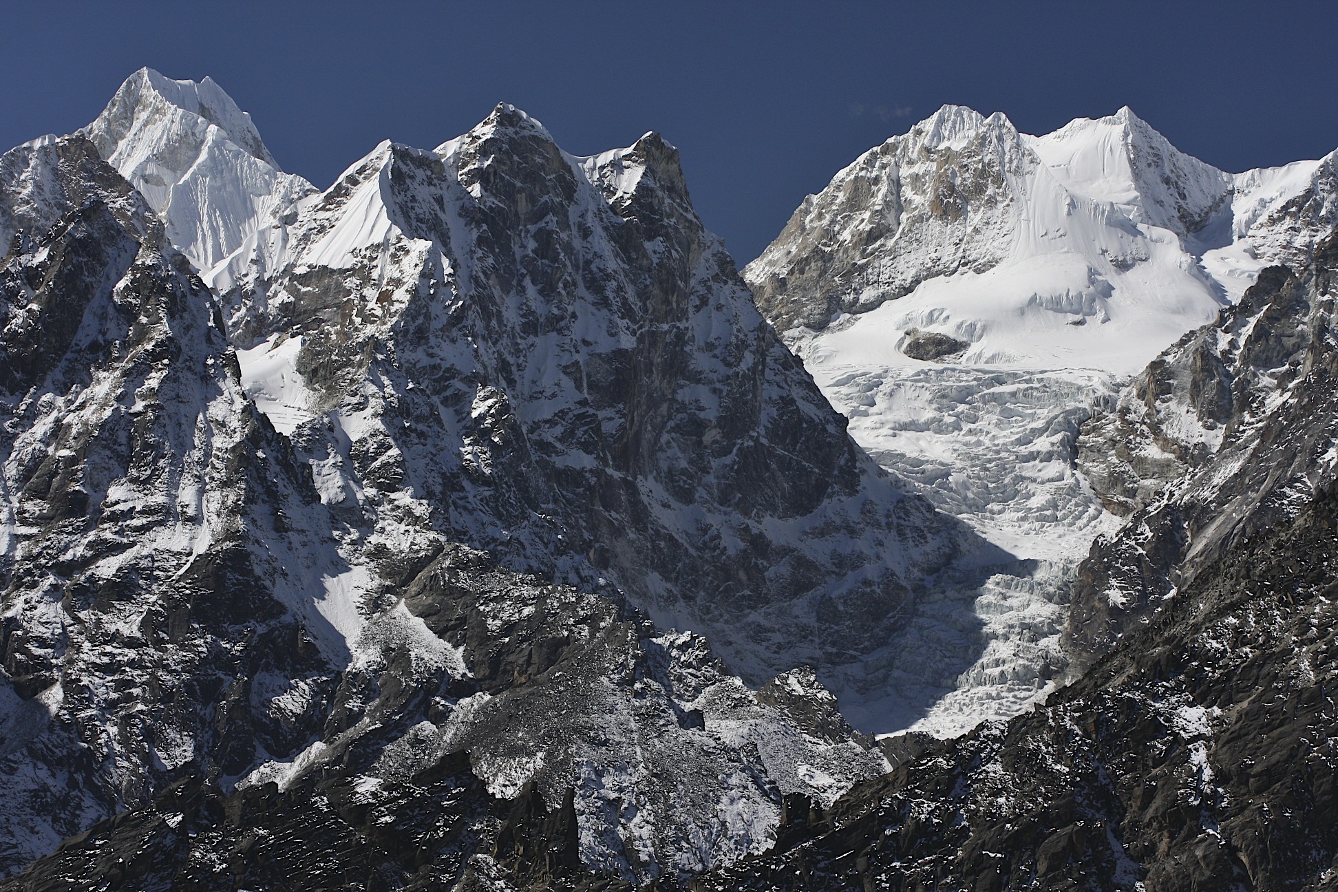
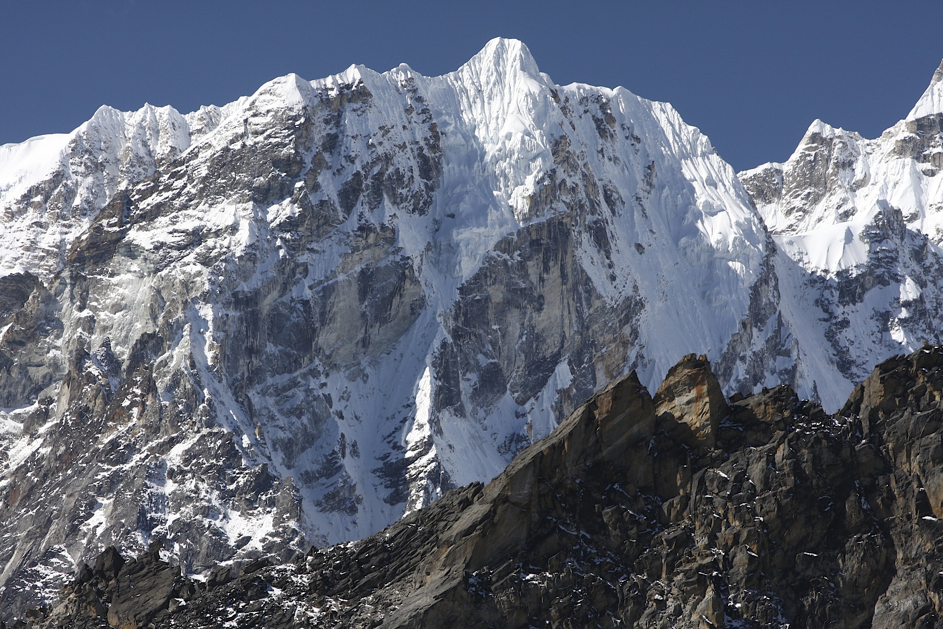
Lunag (left - centre) and Jasemba (right)

Cho Oyu on the left and Everest on the right. This is the entire Khumbu Area. This post covers the region on the left.
Takeoff from the Lukla Airstrip - the gateway to the Khumbu Valley
The view of the takeoff from Lukla from the airplane

Everest and Lhotse from the Renjo La Pass

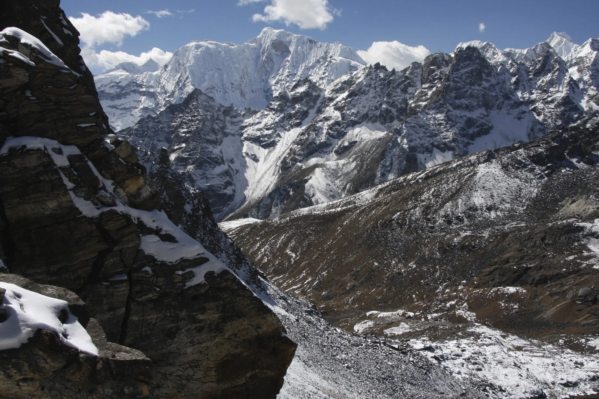
Way to the Nangpa La Pass

Ascending the Renjo La Pass from the west.


The magnificent panorama from the Renjo La Pass. Mt. Everest, Nuptse and Lhotse dominate the view. On the right, far in the distance is Mt. Makalu.
The view towards Makalu, Cholatse and Chamlang from the Renjo La Pass


Mt. Everest with South summit clearly visible.

Nuptse and Lhotse

Makalu
Cholatse

Chamlang sticks out from behind the ridge.

North side (Tibet) and north ridge of Mt. Everest
Renjo La Pass
Descend from Renjo La Pass towards Gokyo
View west from Renjo La Pass


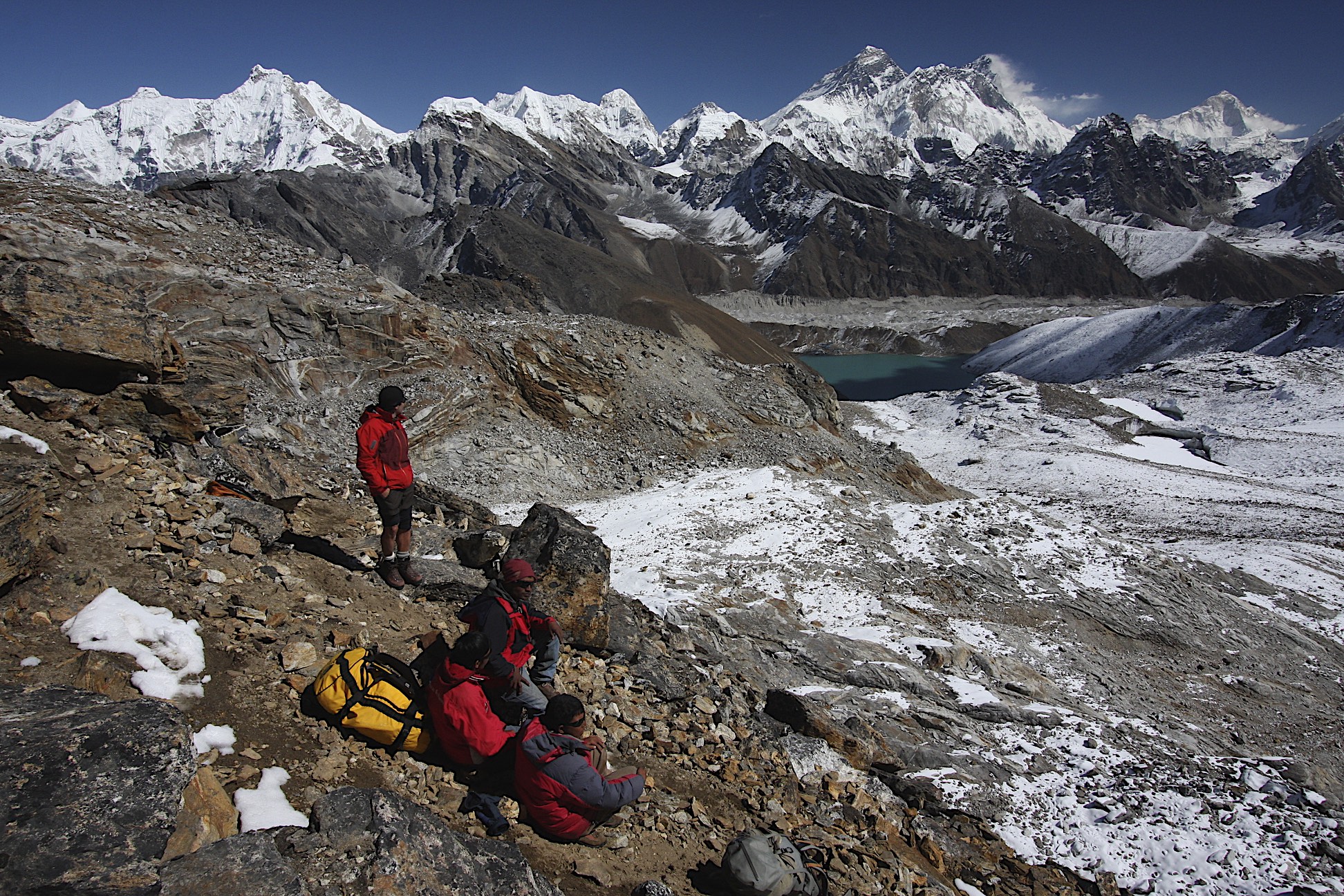
Gokyo Lake and Cho Oyu

Cho Oyu from Gokyo
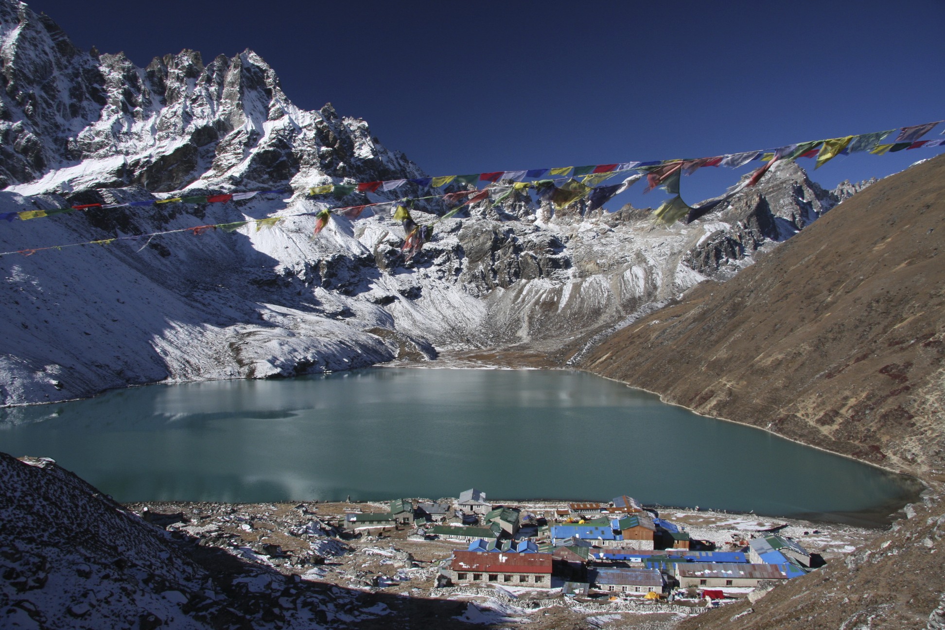
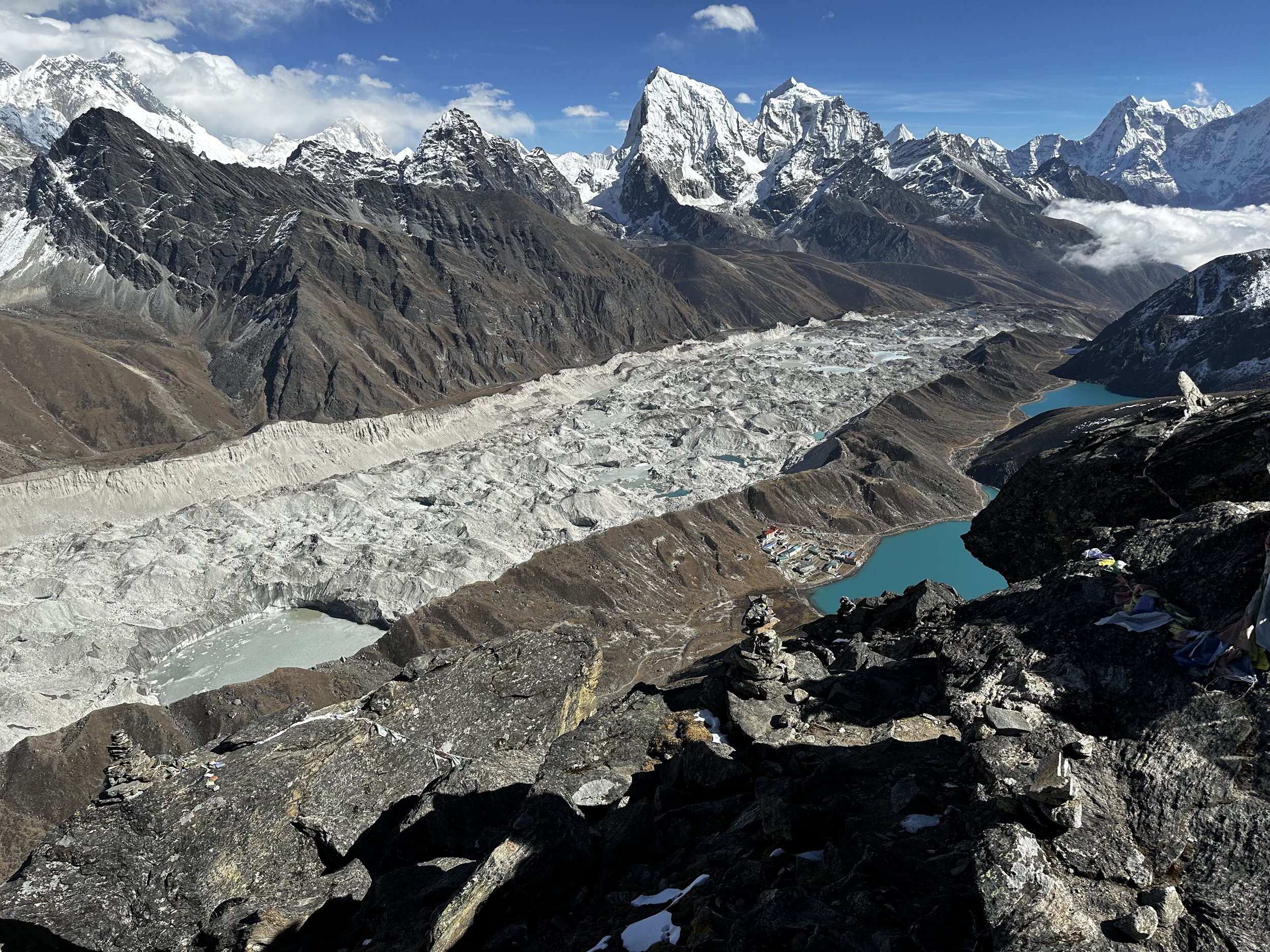
Gokyo
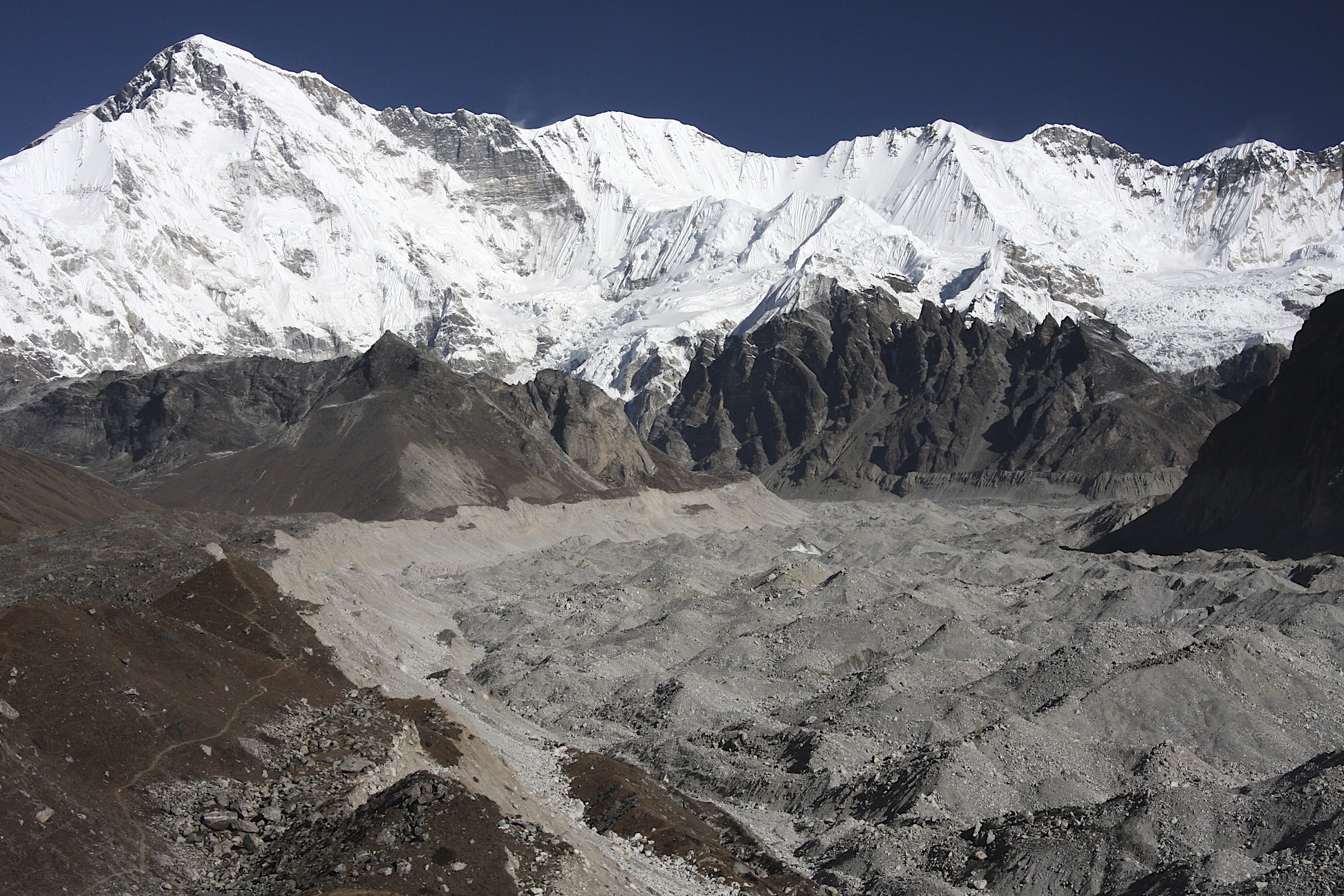
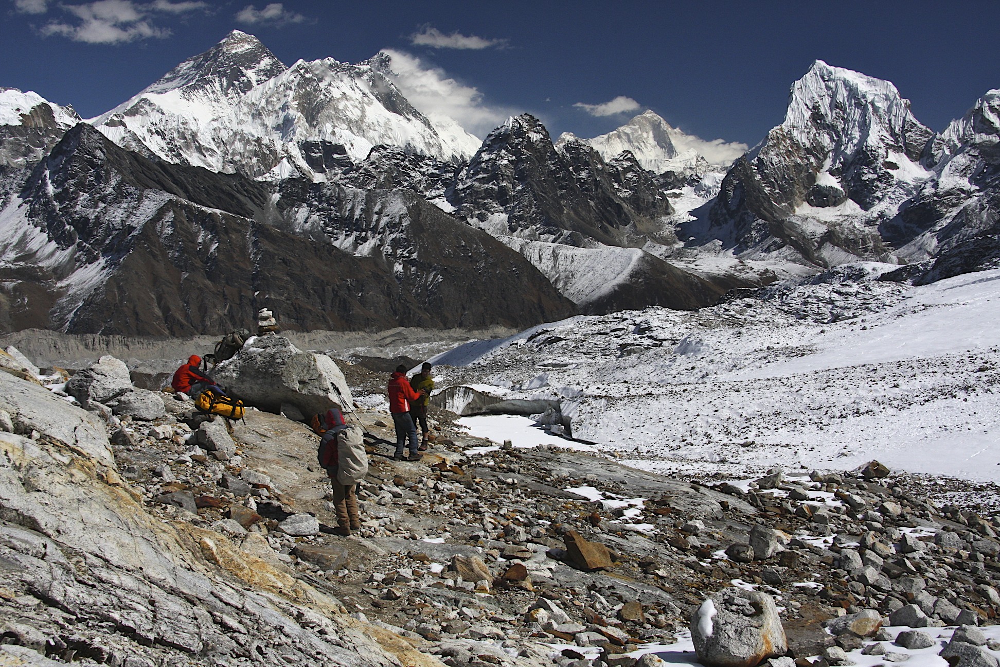
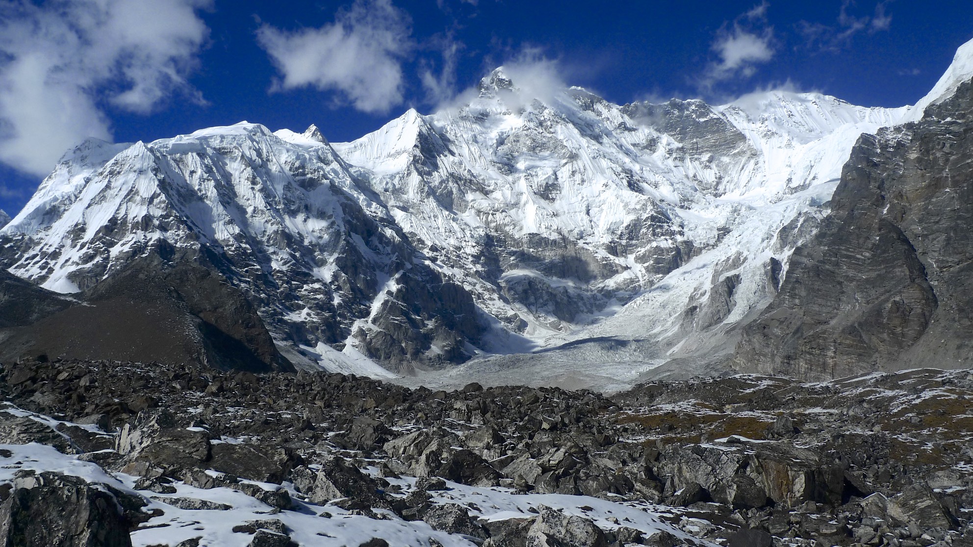
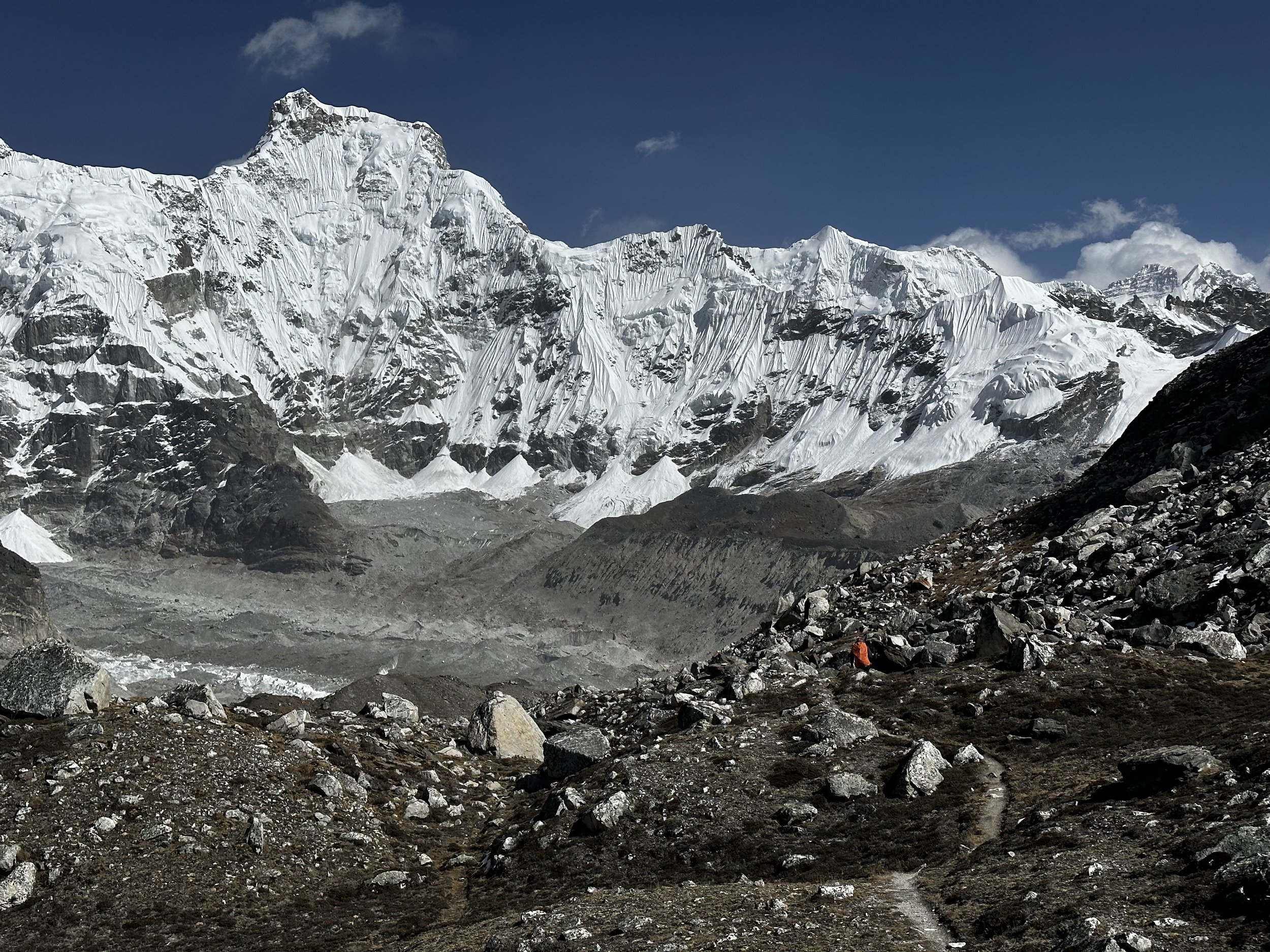
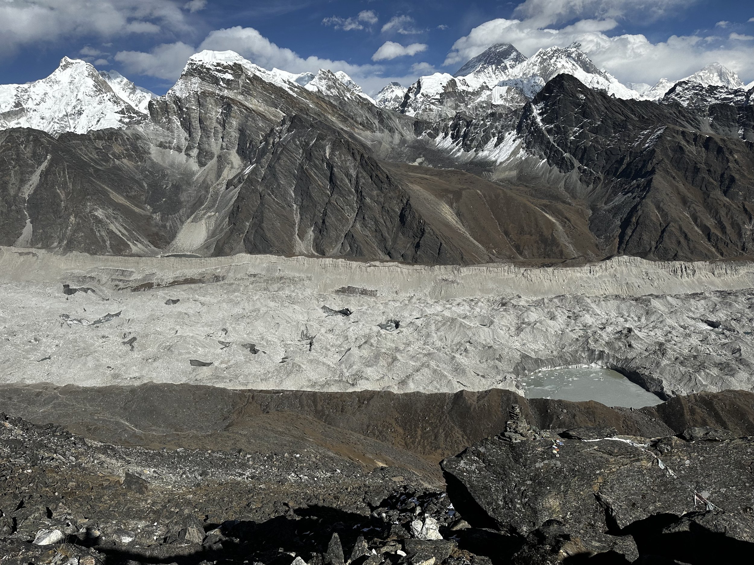
Cho Oyu and upper Ngozumpa Glacier, the longest glacier in Nepal


Everest and Lhotse from upper Ngozumpa Glacier. On the left is the Changri Pass.


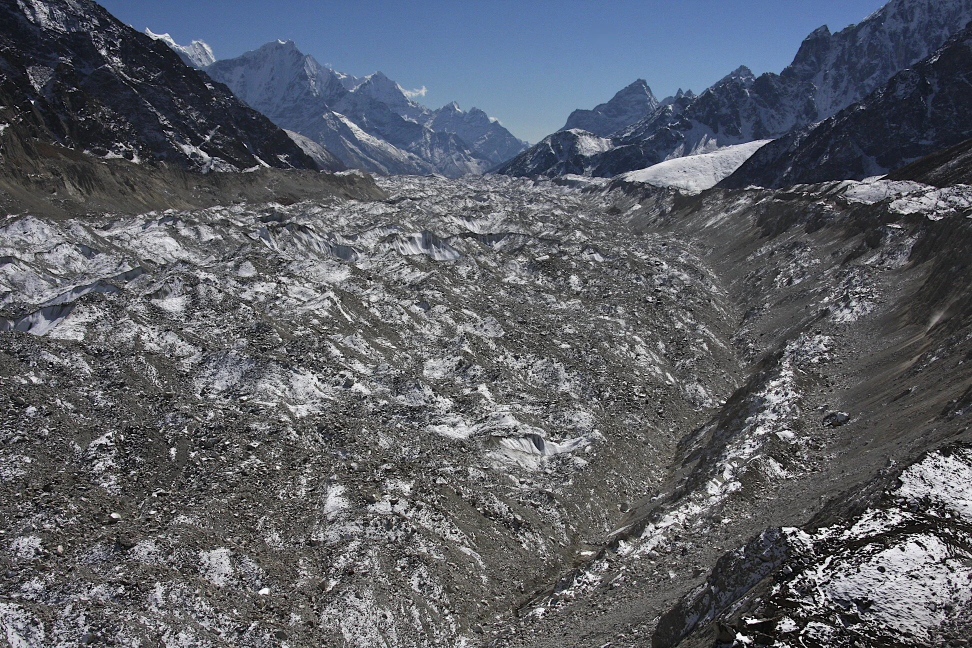
Ngozumpa Glacier - looking south


Mt. Nuptse

Everest
Cho Oyu

Cho Oyu BC abd Panch Pokari

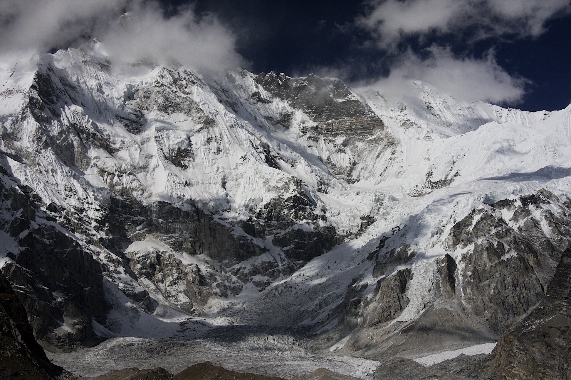
Cho Oyu south face


Cho Oyu

Cho Oyu

Cho Oyu
Cho Oyu


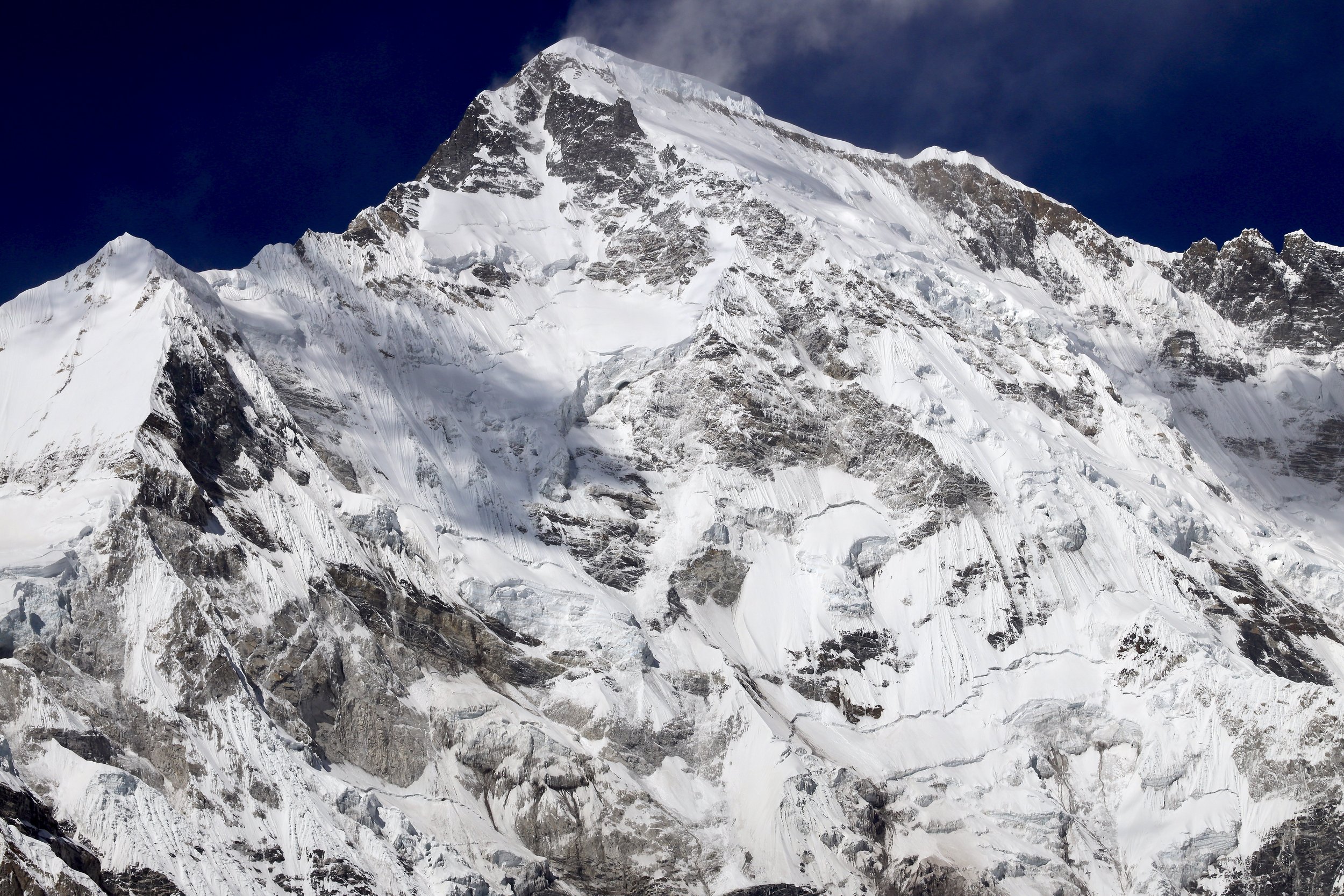
Gyachung Kang 7952m

Mt. Everest and Lhotse

On the way to Cho Oyu BC with Gyachung Kang 7952m on the right

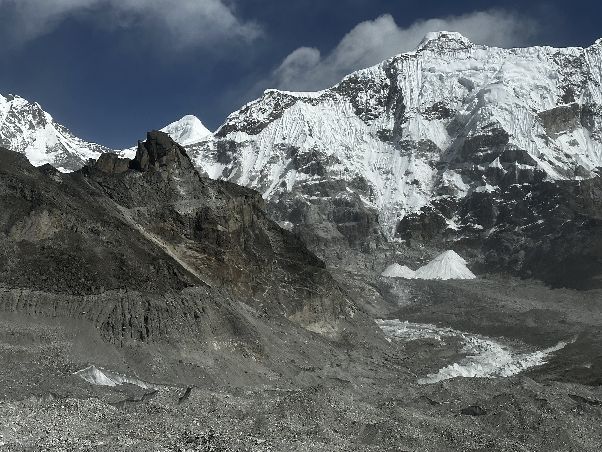
Ngzumba Glacier with Kangchung East and West in the centre

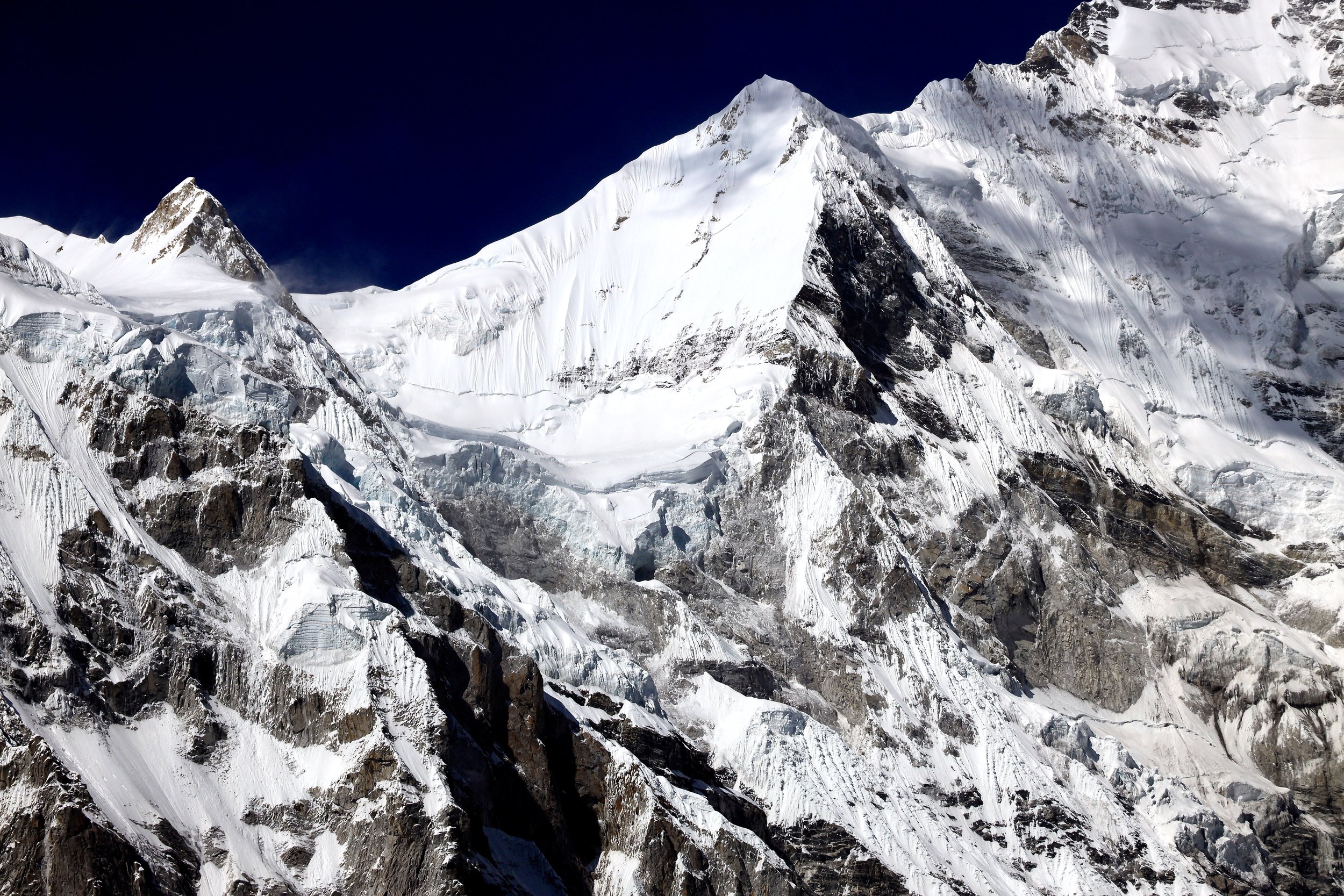
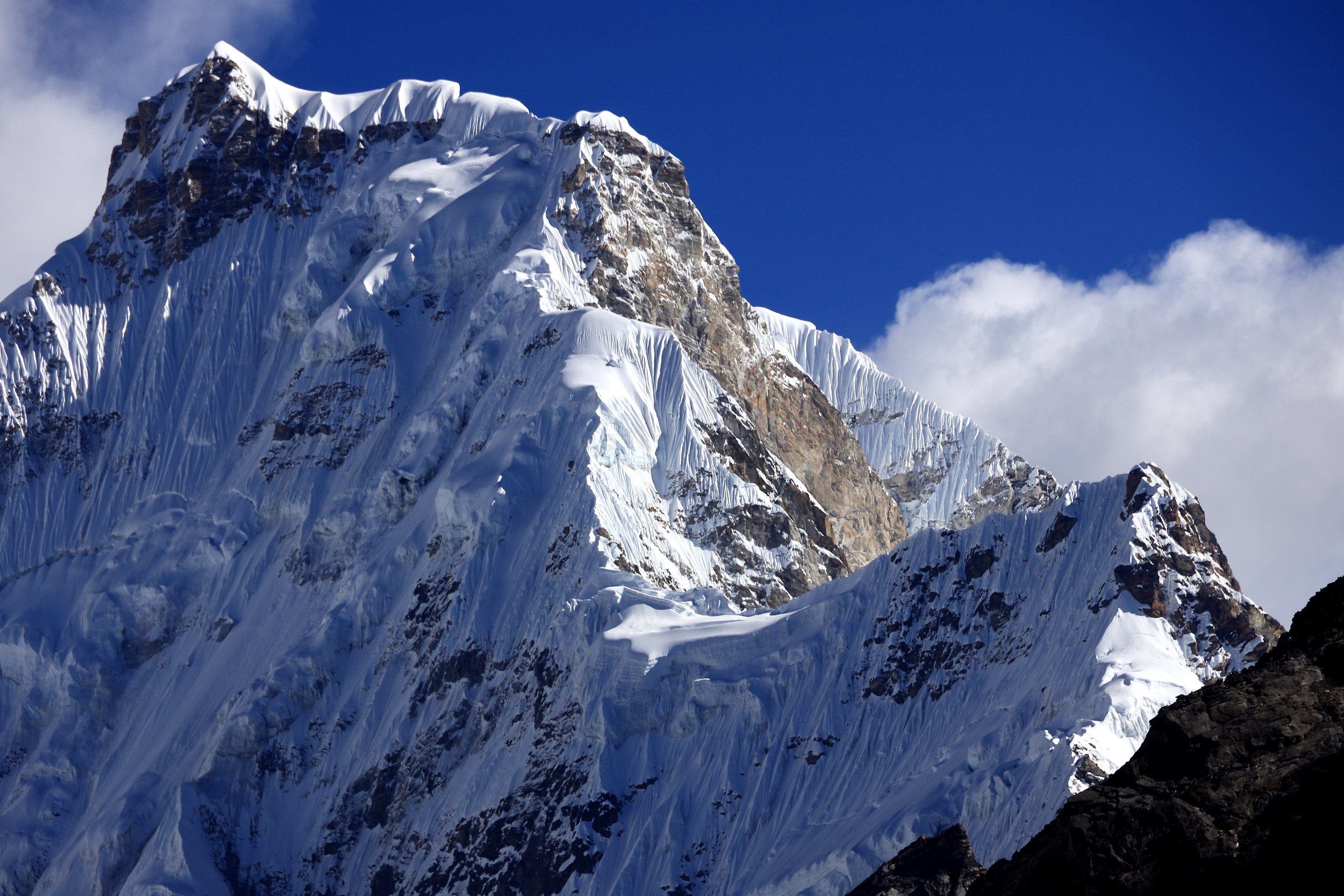
Gyachung Kang 7952m

Gyachung Kang 7952m
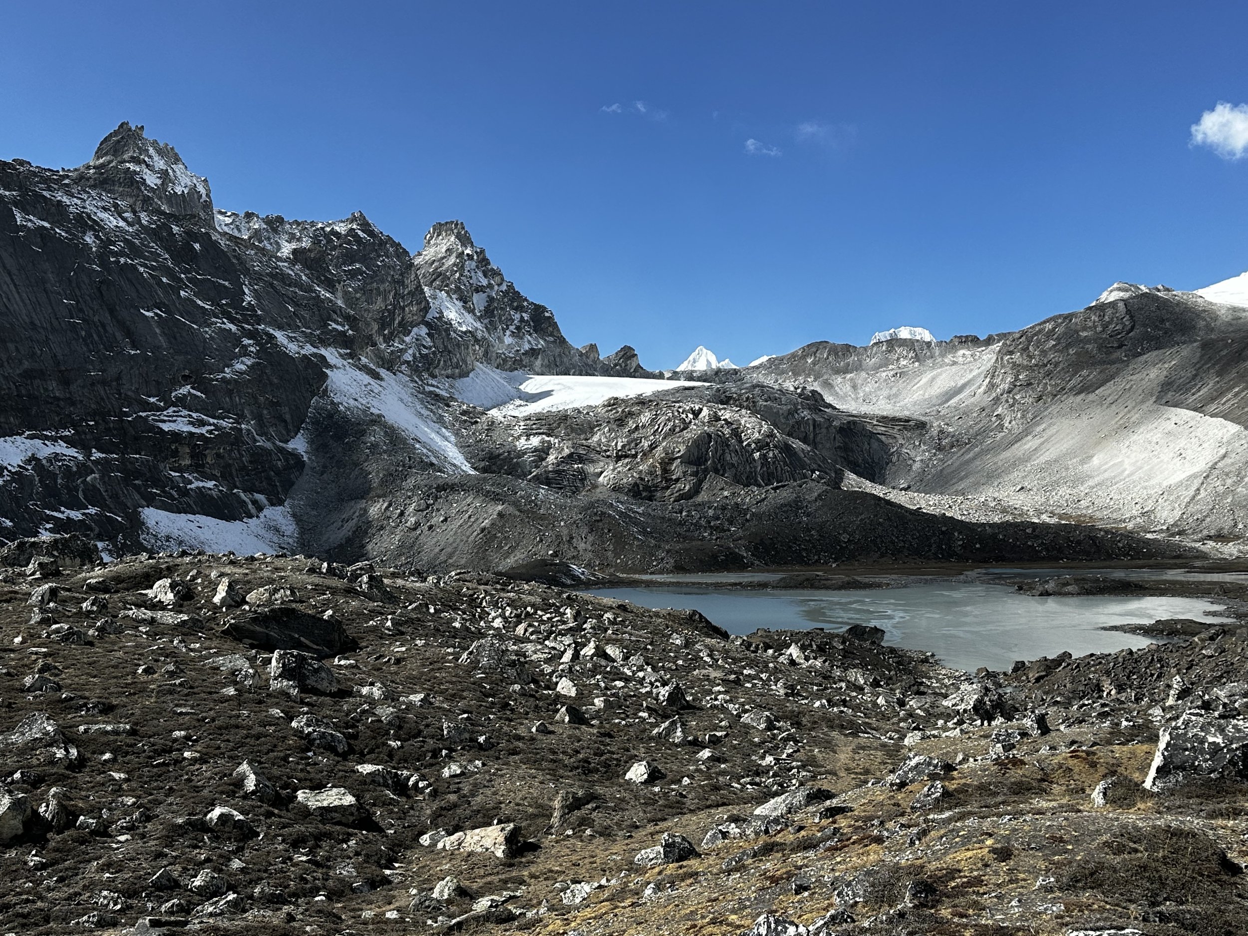
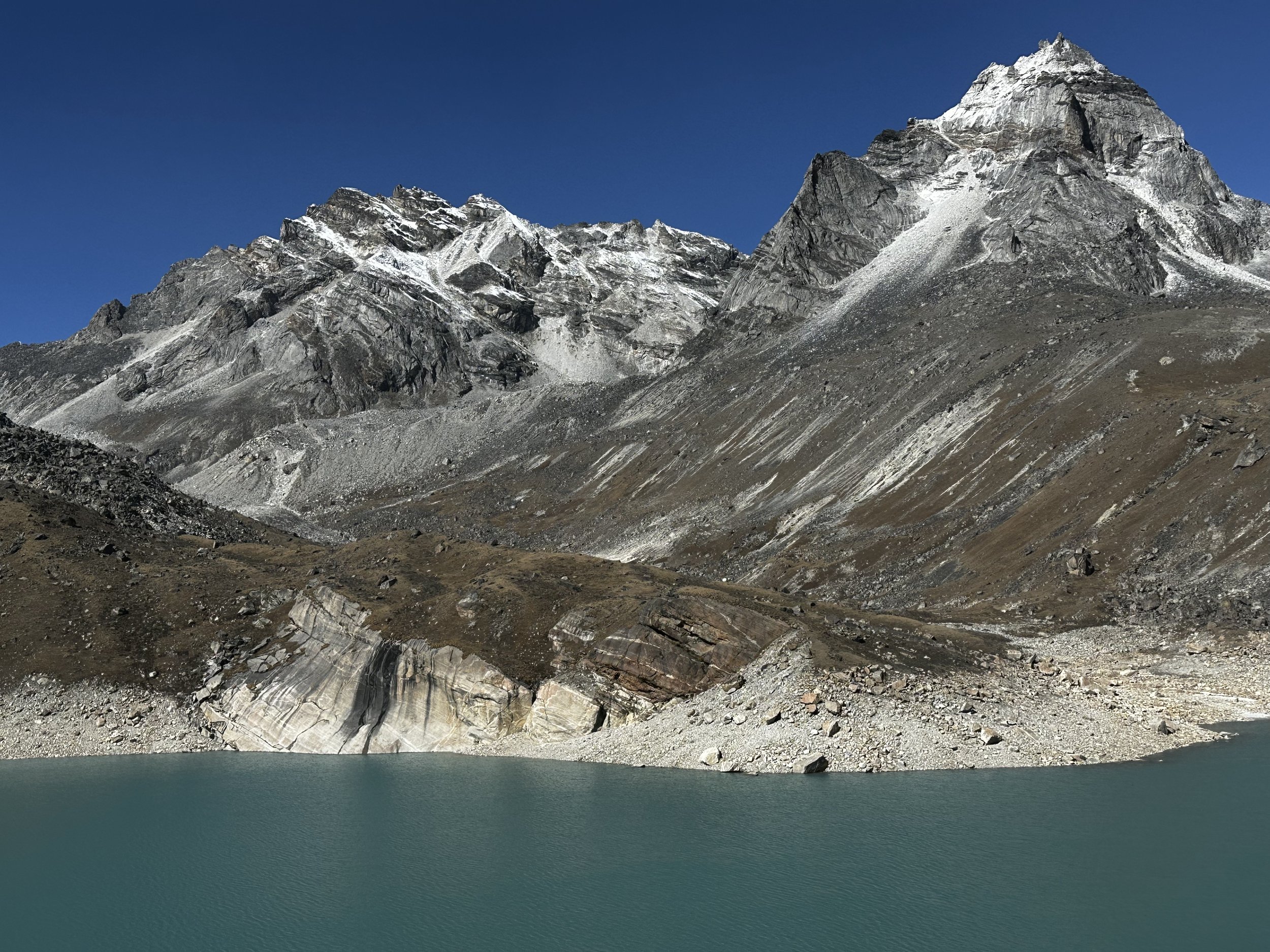
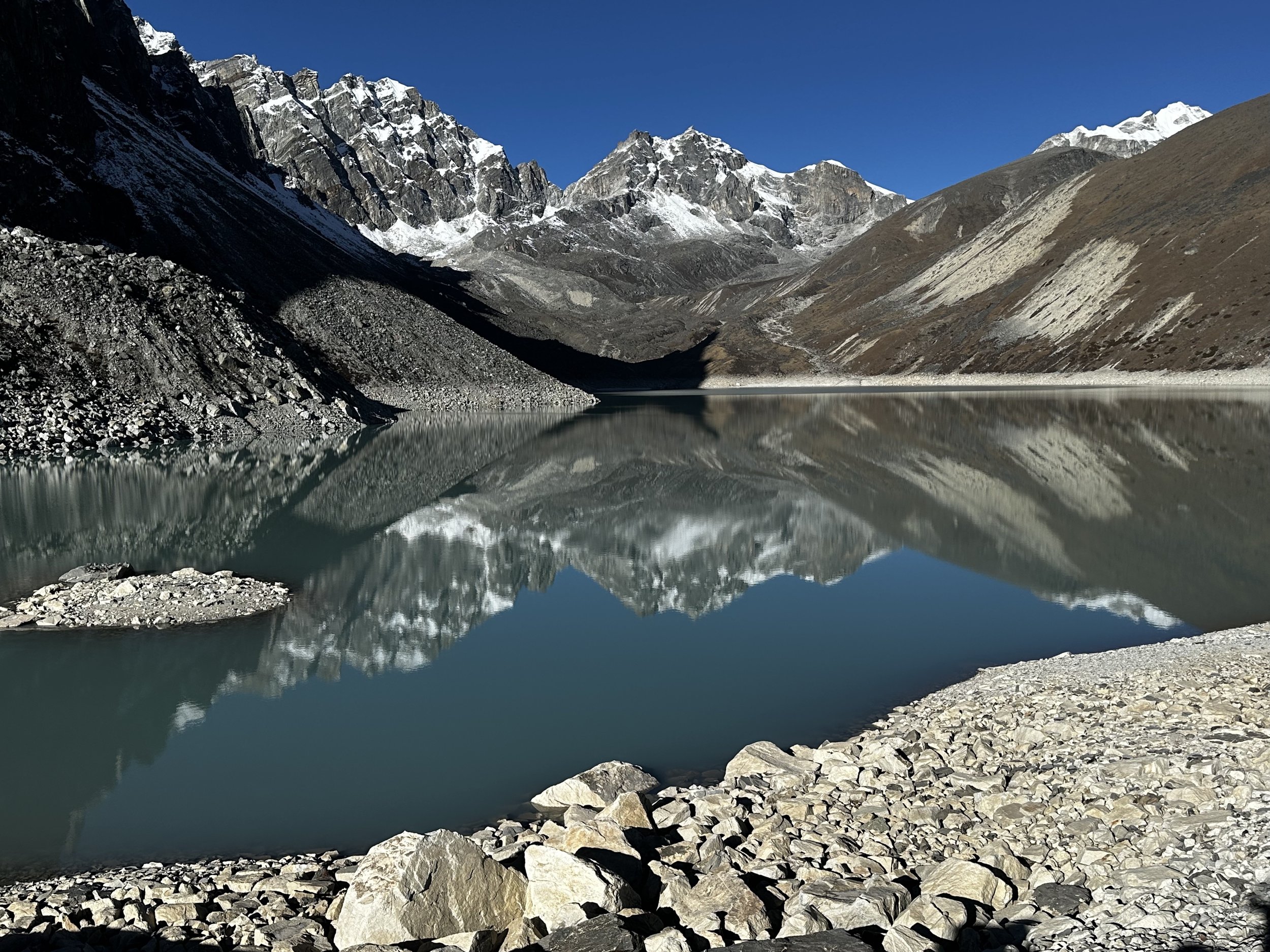
6th Gokyo Lake
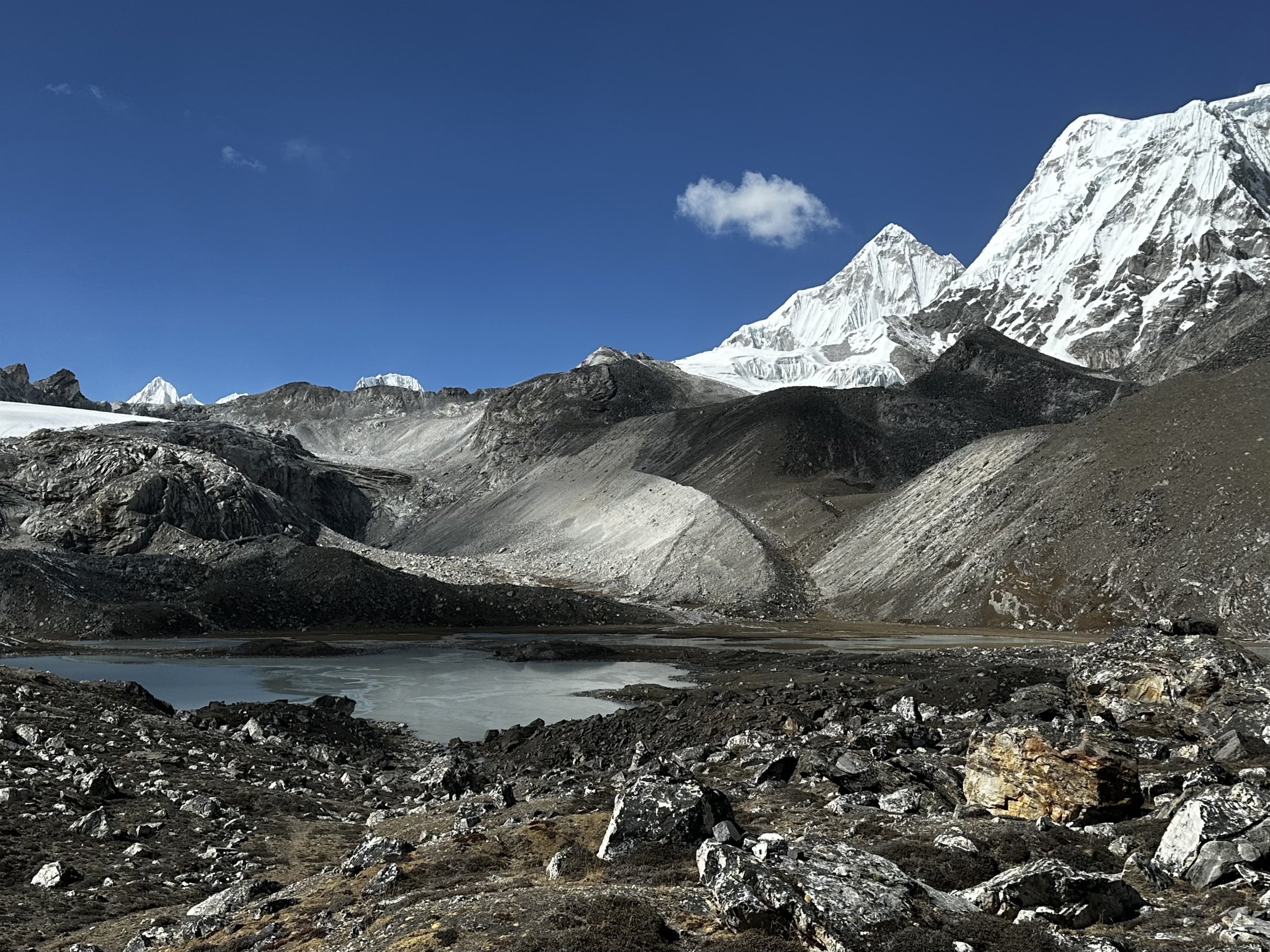
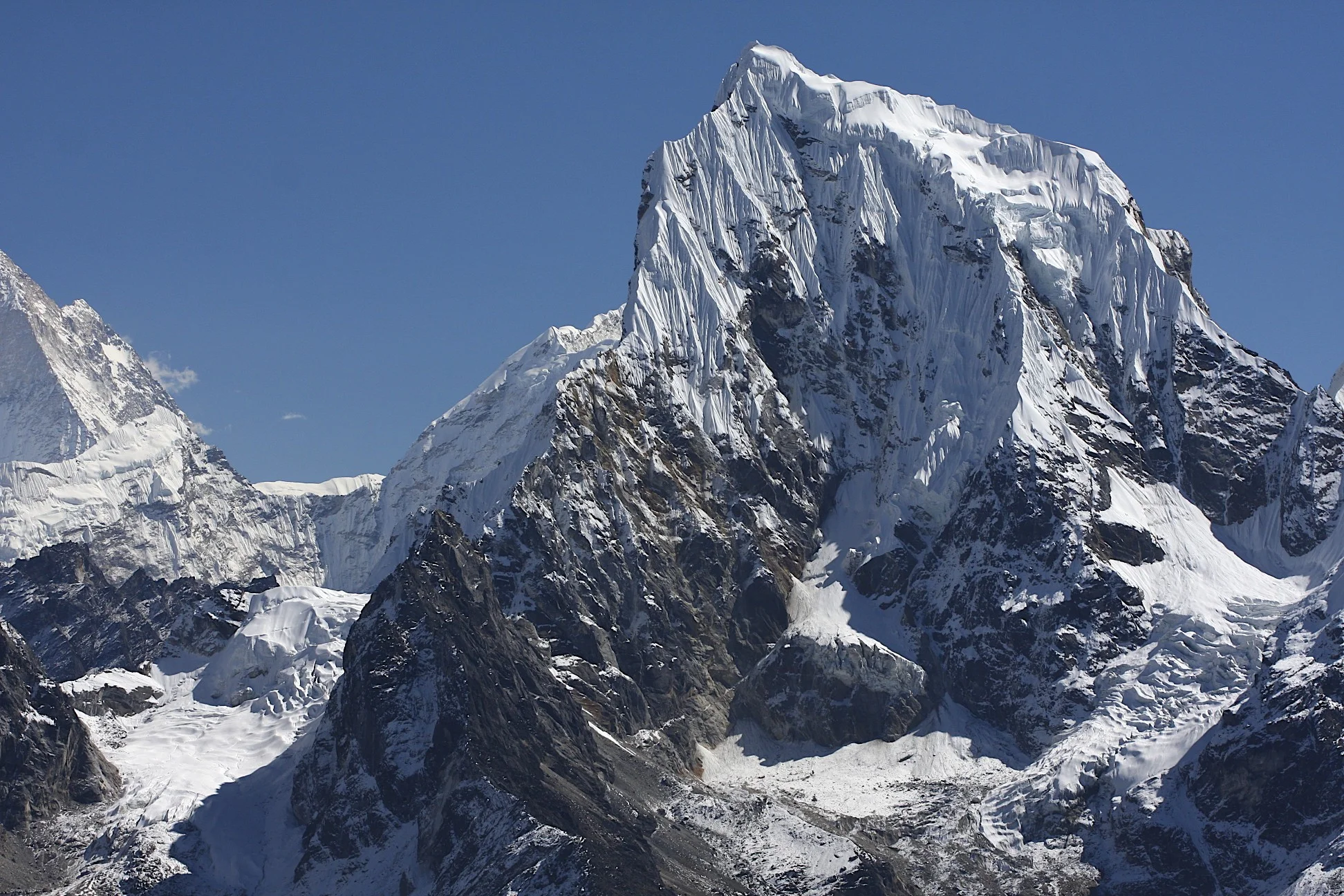
6th Gokyo Lake and Jasemba

Cho Oyu

Cho Oyu (left) and Ngozumpa Kang 1 7905m

Gyachung Kang 7952m

Cho Oyu
Cho Oyu
The ridge of Cho Oyu
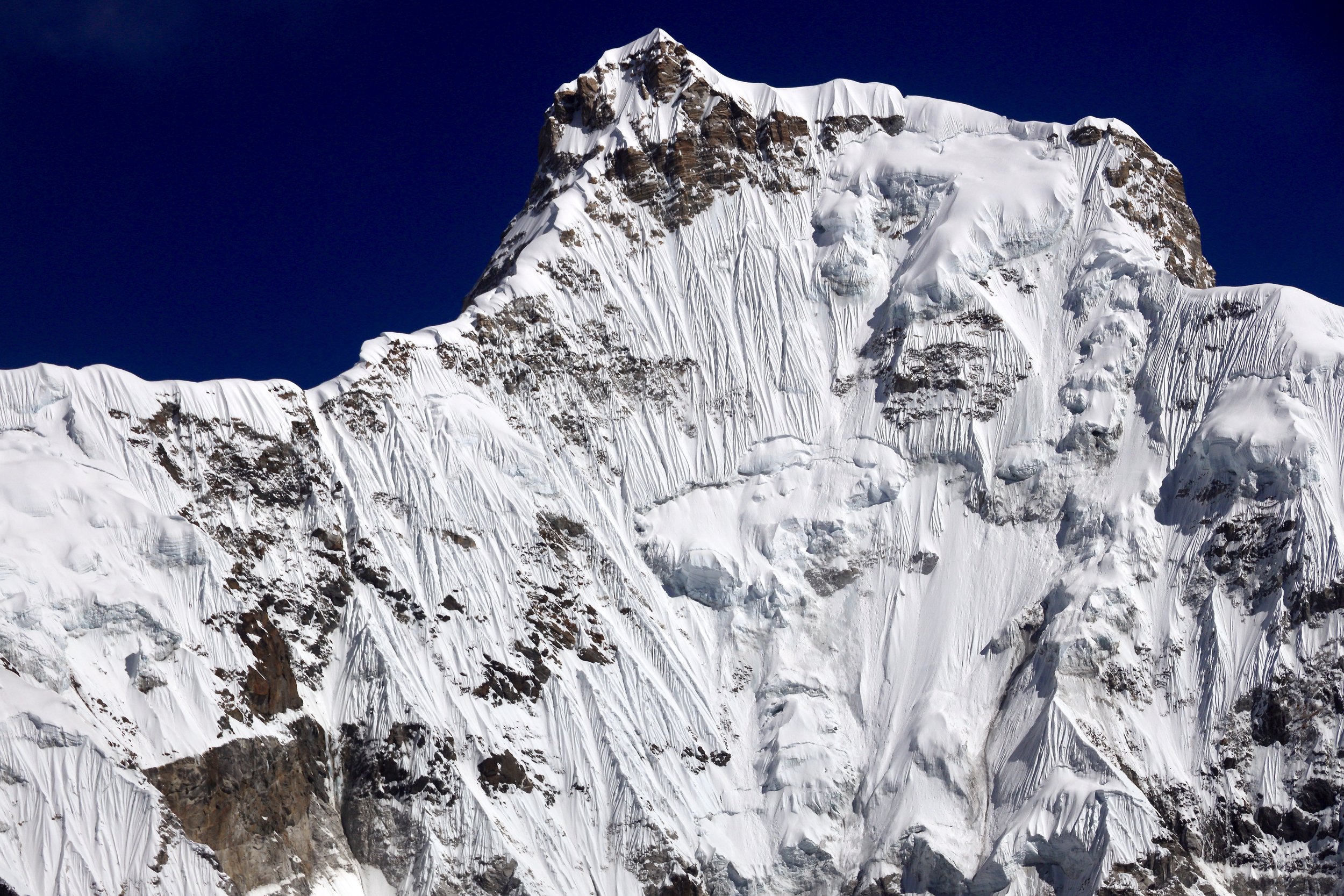
Gyachung Kang 7952m
Gyachung Kang 7952m

Gyachung Kang 7952m

Ngozumpa Kang III 7660m


Kangshung East and West, 6000m peaks

On the left is Cho Oyu. On the right is Ngozumpa Kang 1 7905m.

Cho Oyu

Cho Oyu

Ngozumpa Kang 1 7905m

Cho Oyu
Cho Oyu
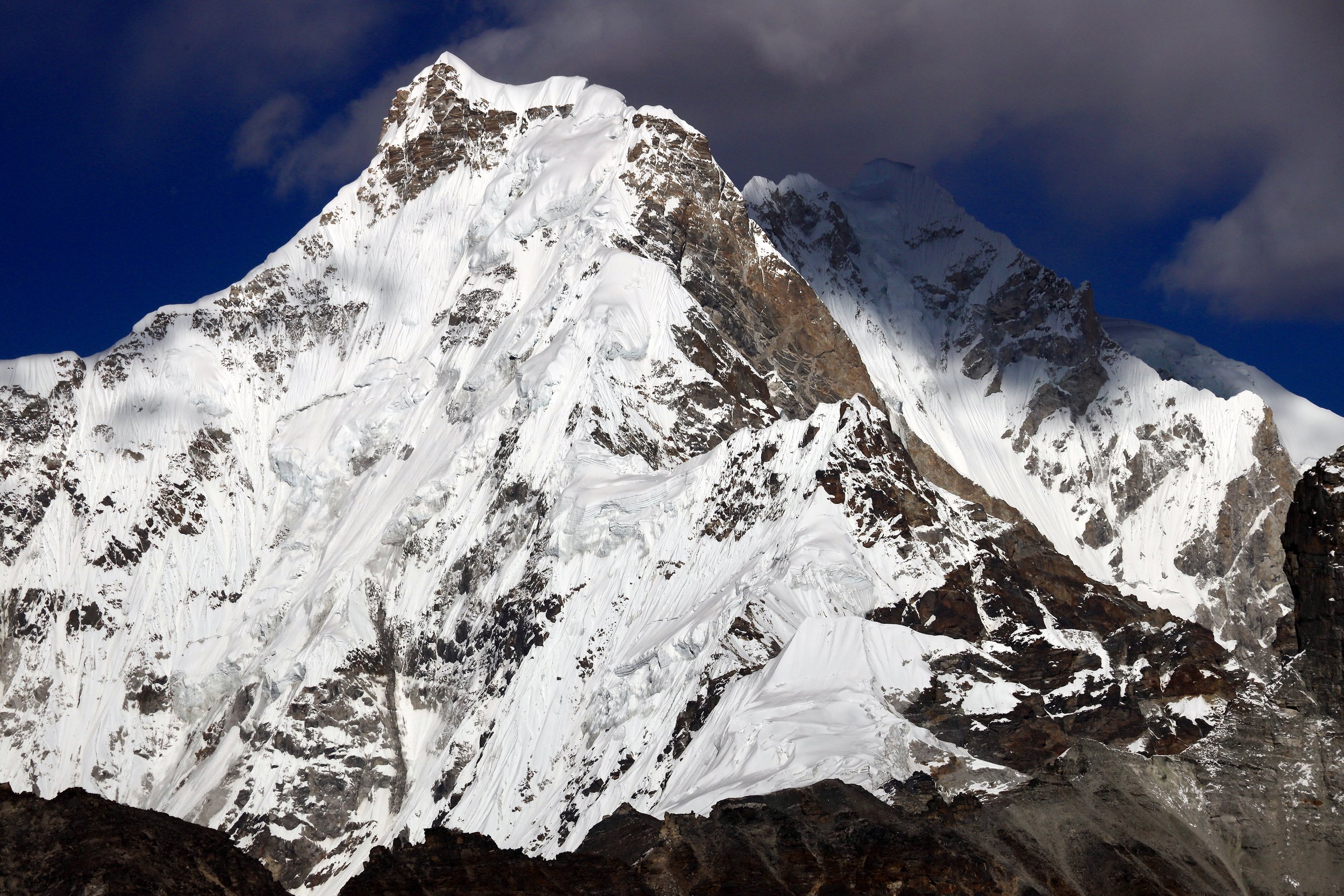
Gyachung Kang 7952m
Gyachung Kang 7952m


Cho Oyu

Cho Oyu and Gyachung Kang 7952m

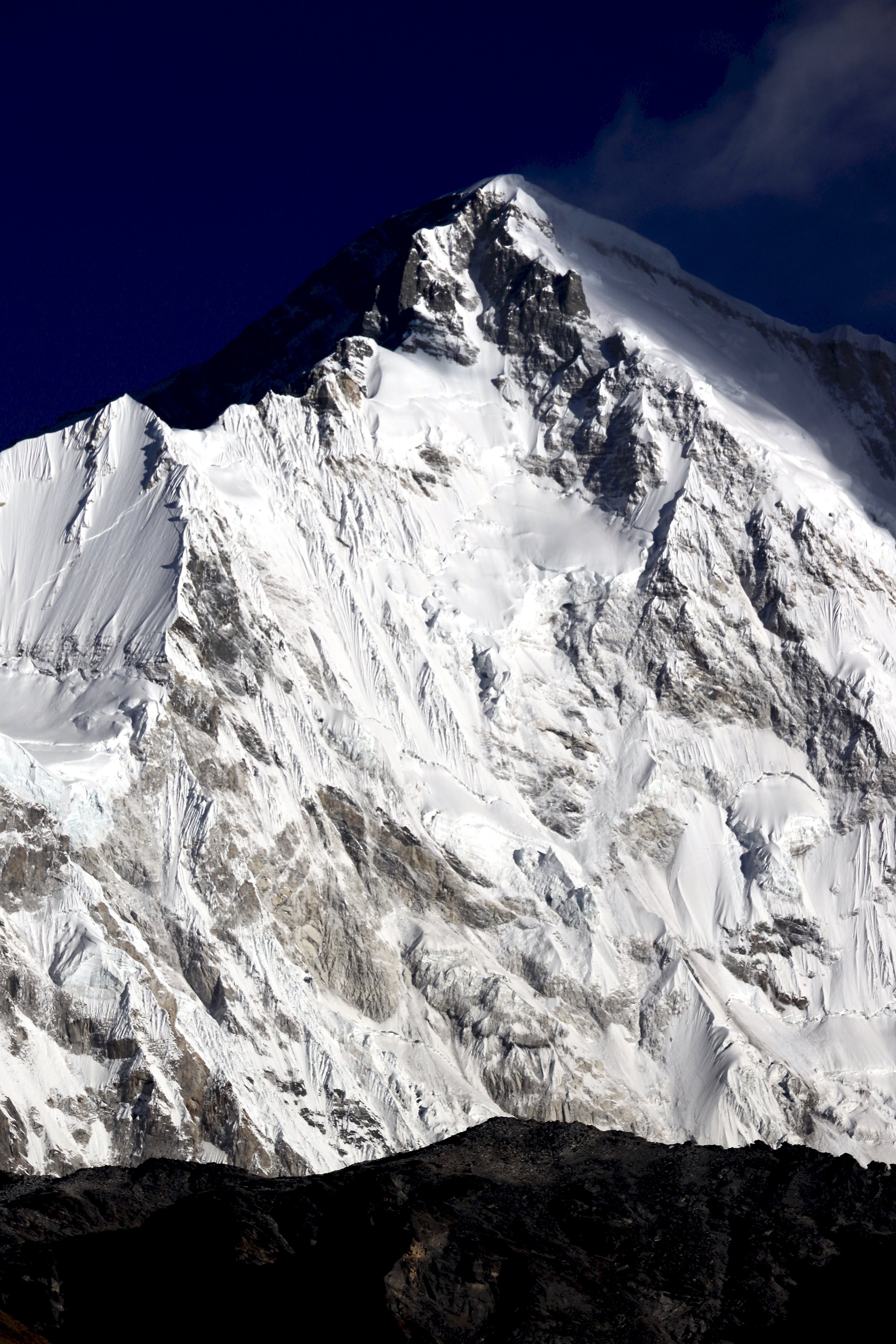
Gyachung Kang 7952m

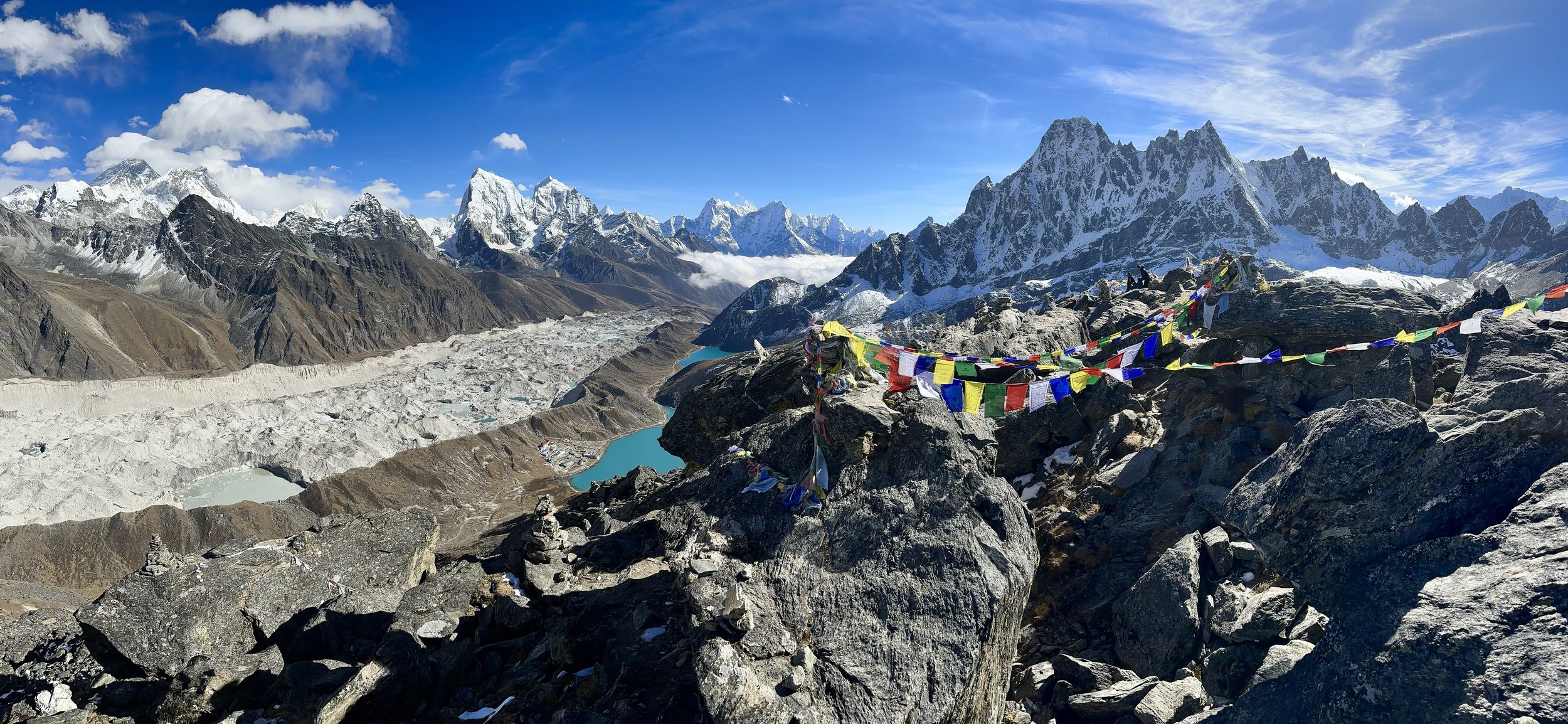
Top of Gokyo Ri

Gokyo and Cholatse
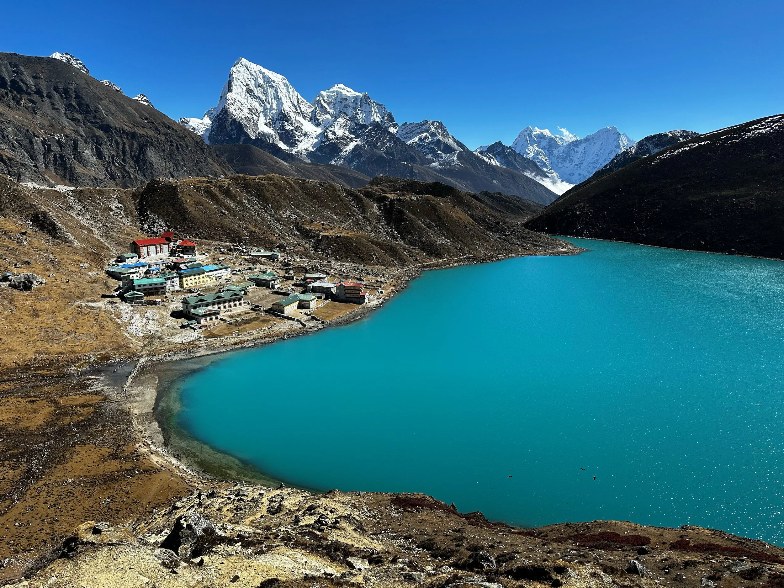
Gokyo

Gokyo from Gokyo Ri

Everest and Lhotse from Gokyo Ri


Cholatse

Cholatse 6423m


Gyachung Kang 7952m

Cho Oyu from Gokyo Ri


Renjo La from Gokyo Ri

Sumna Pass from Gokyo Ri

Gokyo Ri elevation (add another 100m)


Kayo Ri 6151m (on the right)


Ama Dablam

Ama Dablam the summit pyramid

The Teshi Labtsa Pass from above Namche


Lula airstrip