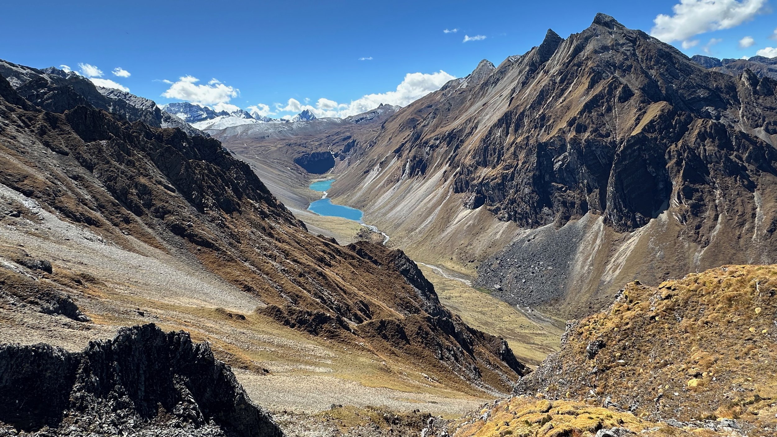
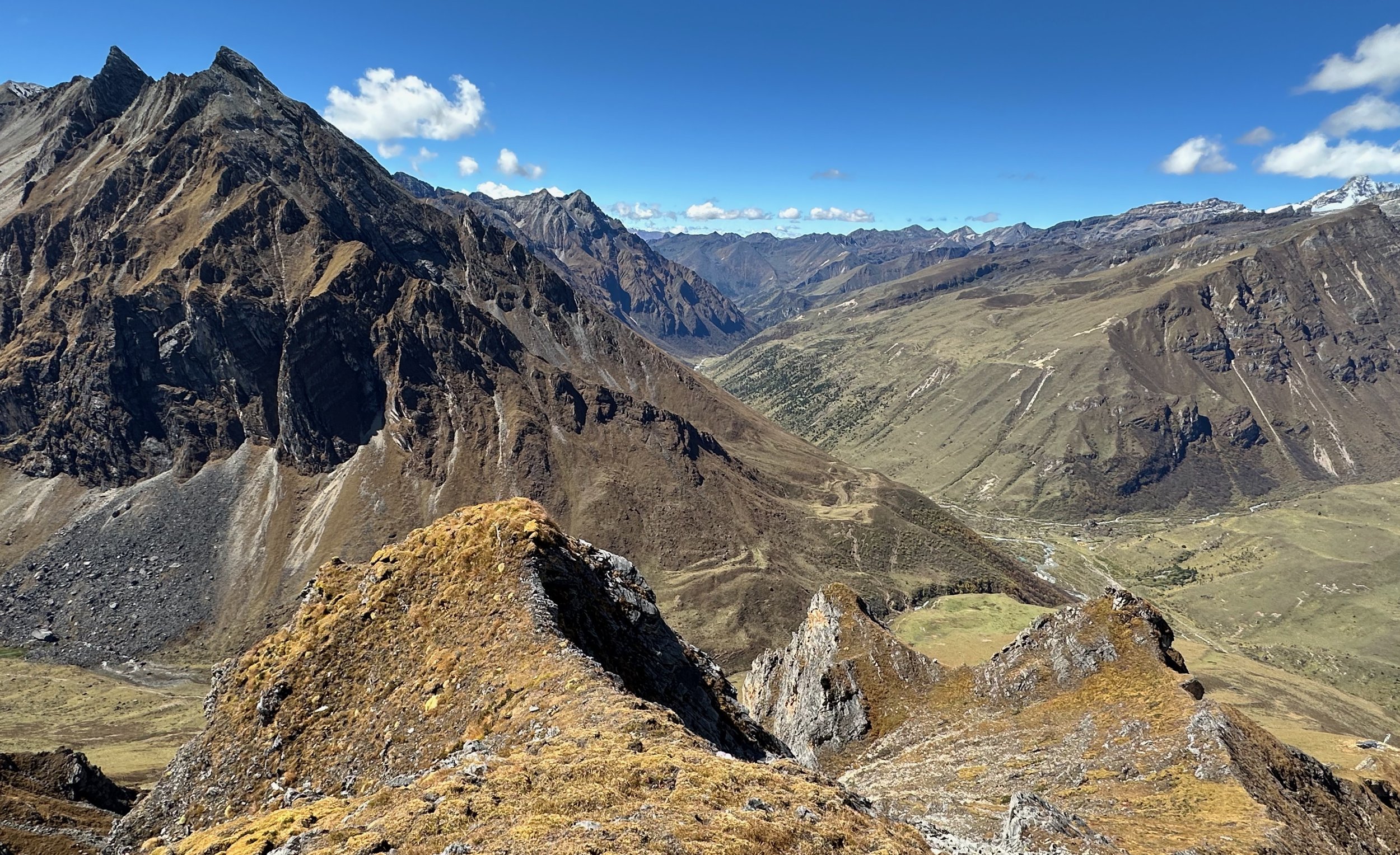
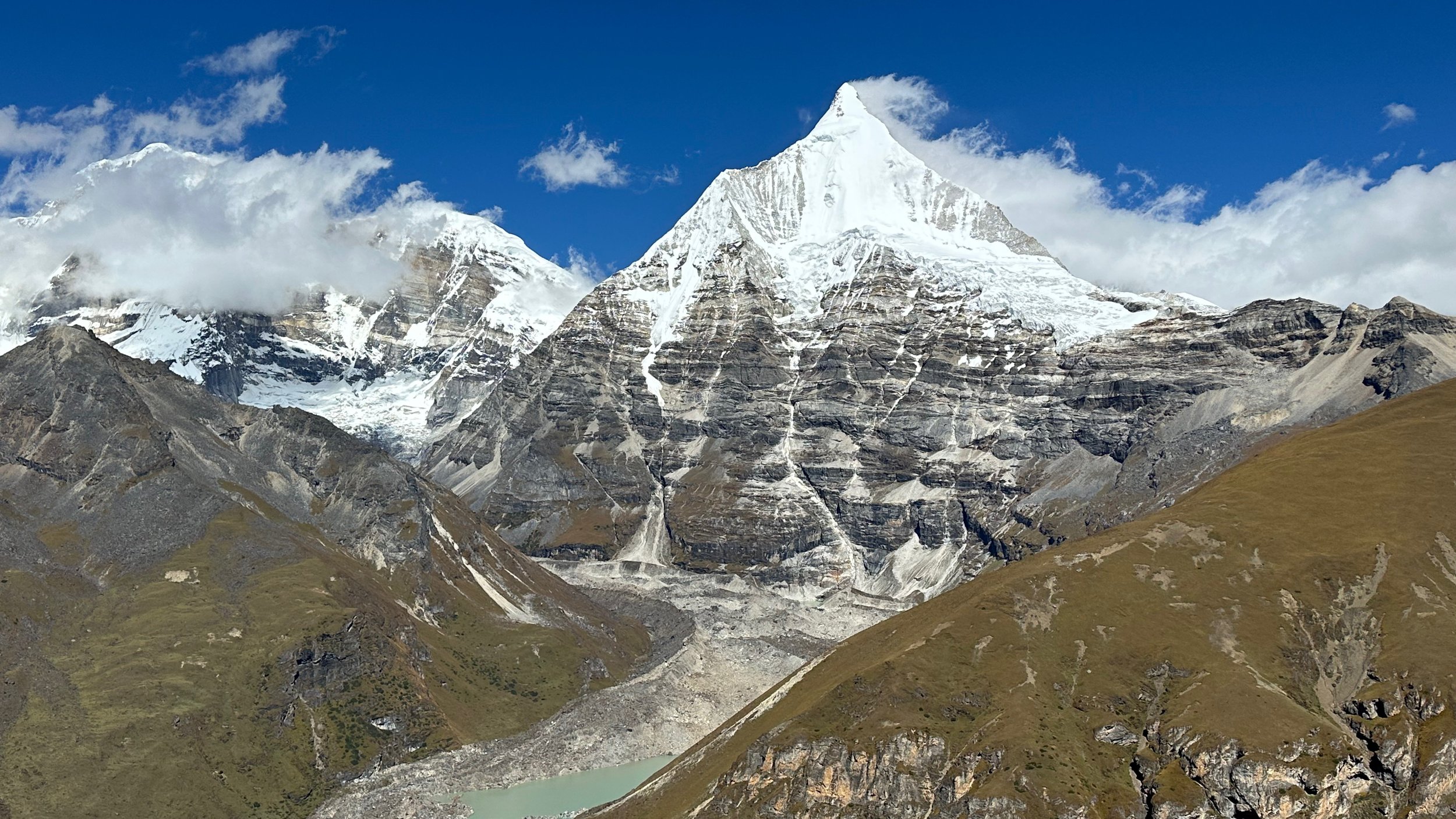
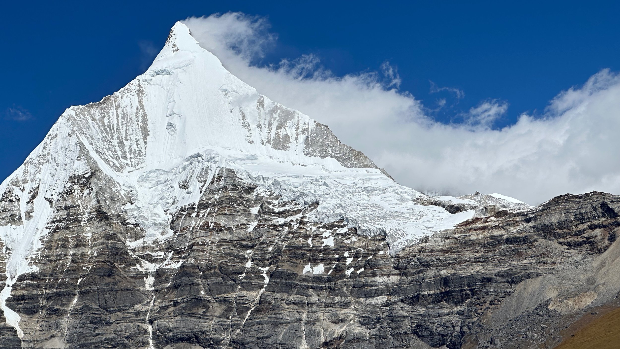
The Snowman trek in Bhutan is either a miserable slog or a mountain bliss. It exceeds expectations for good and bad. It is one of a kind mountain epic journey through the incredible landscapes of Bhutan Himalaya. In its distance of 300km and 16,000 vertical meters it rewards and disappoints. One thing for sure, you can’t walk it and feel indifferent afterwards. It is truly one of the best treks in the world. An EPIC.
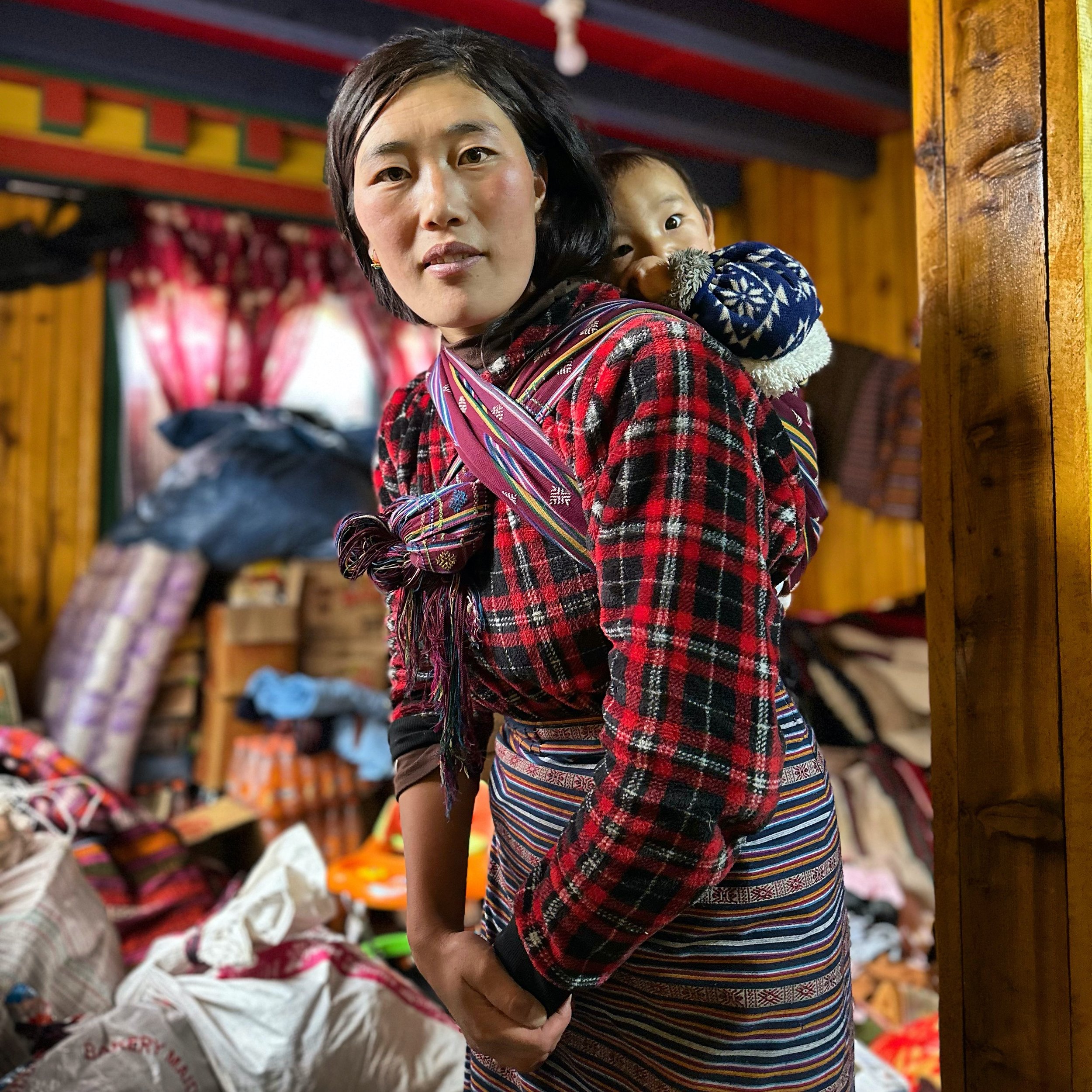
The Butanese people and its unique culture complete the experience. The encounters with the locals are intimate and personal. The people are kind and genuine. The Bhutan’s government wants to limit tourism and development. As a result, one is rewarded with a special experience that is truly one of a kind in the Himalaya.
“But what makes this trek so complicated?
The number of days, isolation, and altitude are factors to be taken into account as with many other Himalayan journeys. So, why so little success on this one? The answer is quite simple, trivial some would say: the weather.
Too early, the monsoon will put a lot of trails to the test and may cover some passes over 5000m with snow. Too late and the slightest depression coming from the Bay of Bengal will block all the passes. This trek can sometimes be seen as a great Himalayan lottery.” Laurent Boiveau
The Snowman trek is in green. The trek is sometimes referred to as Luana Trek as well. The map is from the guidebook Trekking in Bhutan by Bart Jordans by Cicerone Press.
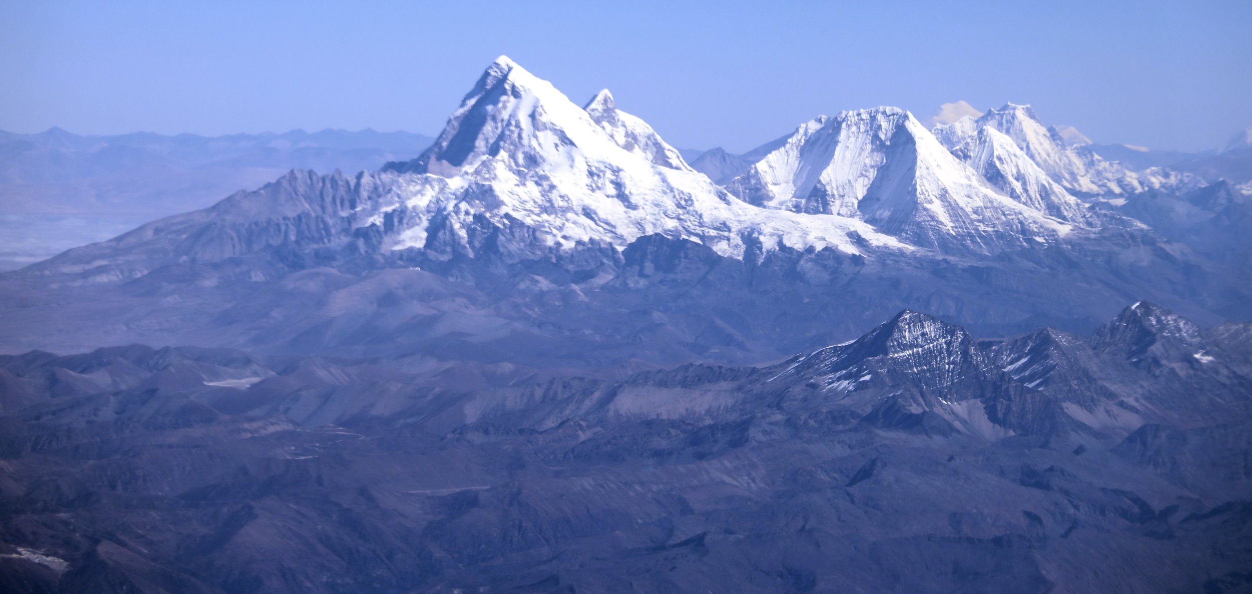
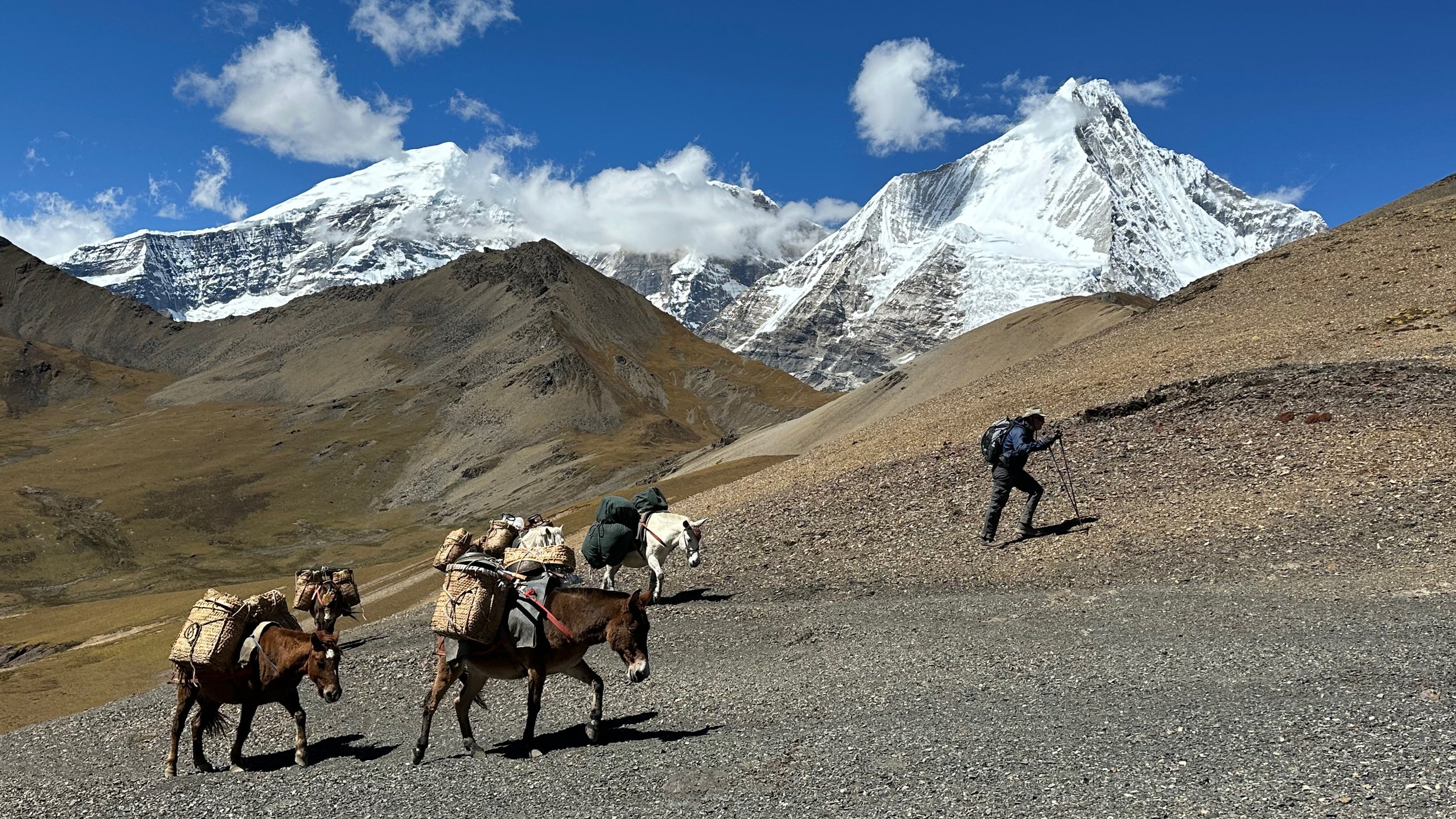
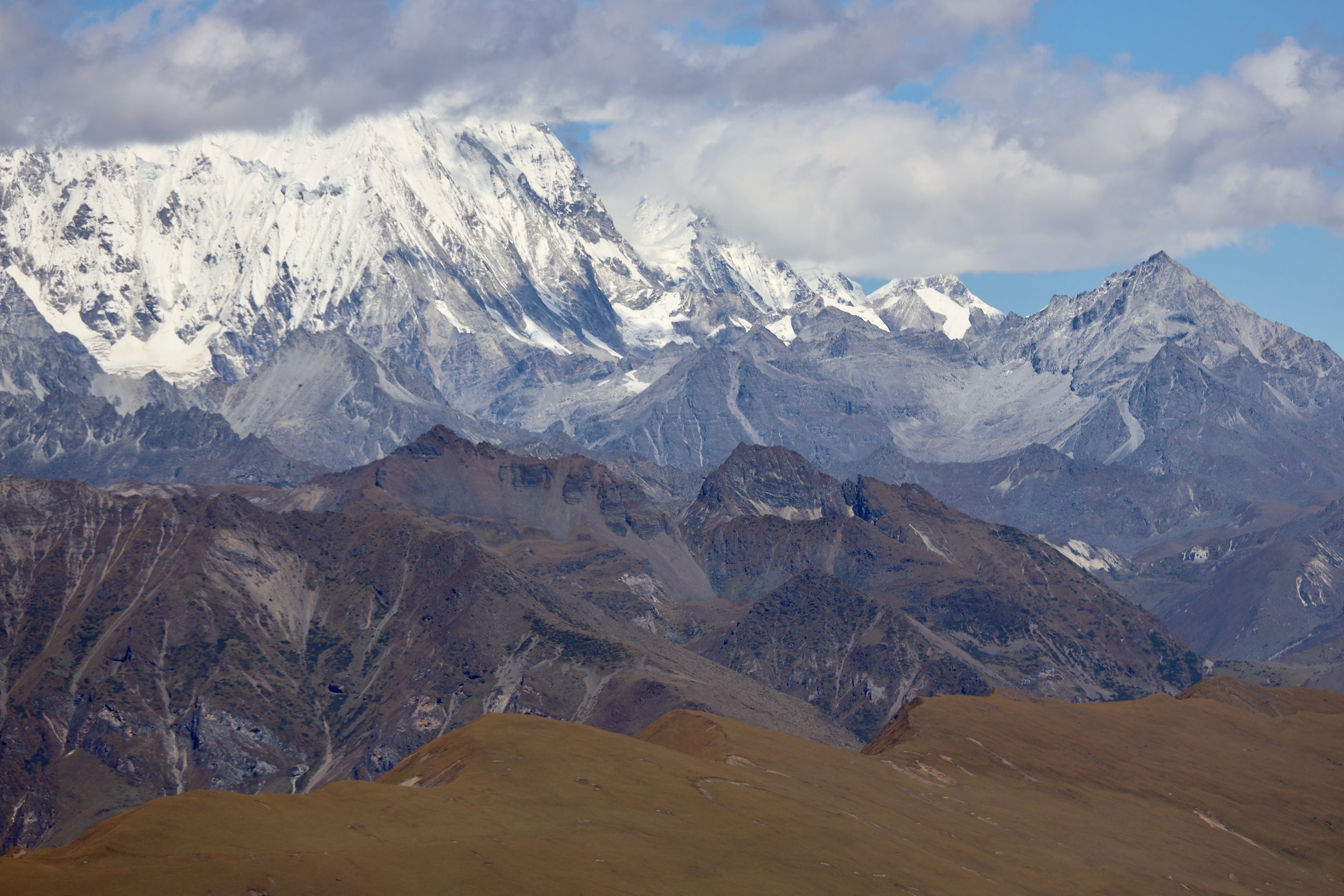
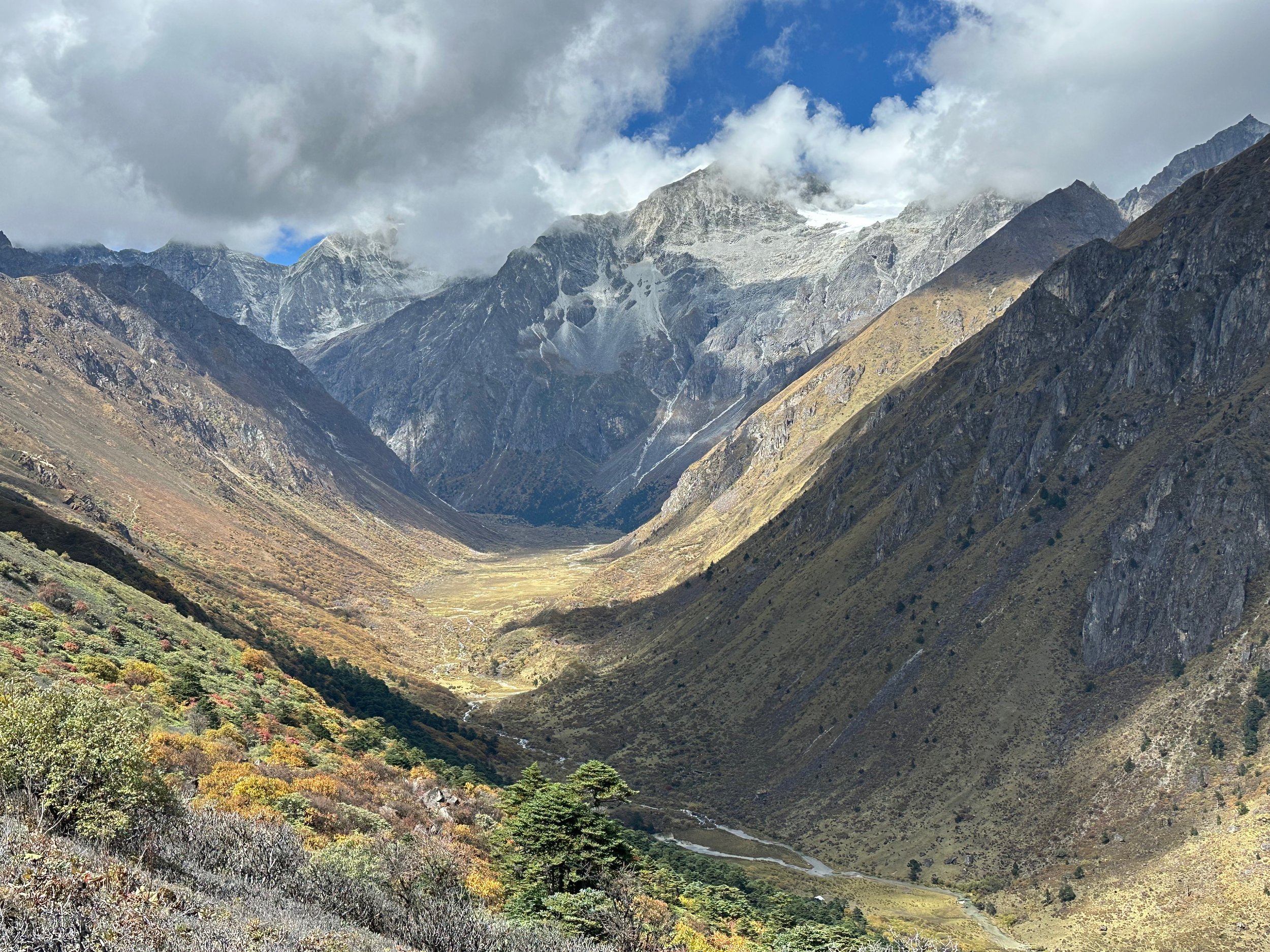
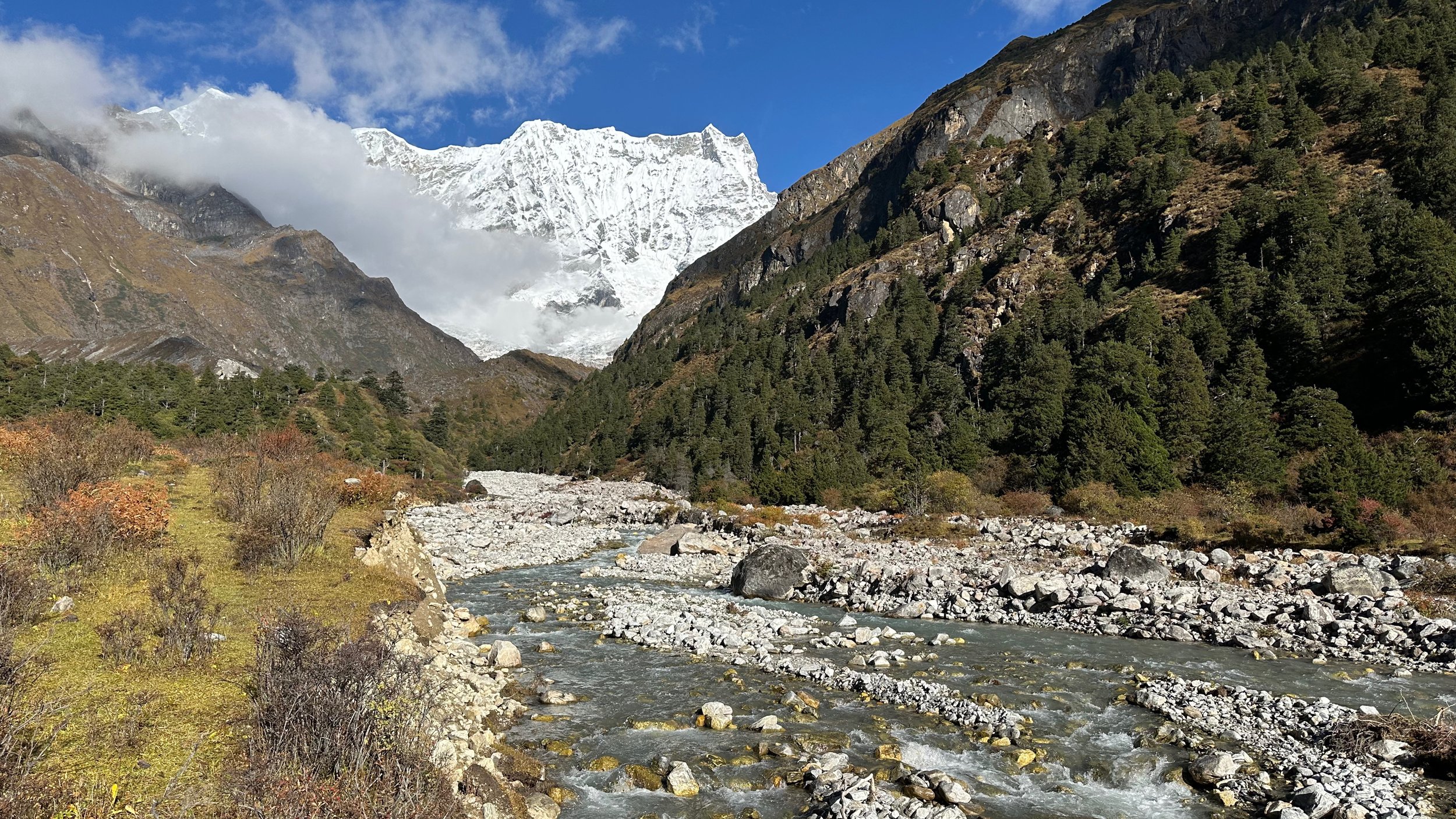
The entire Himalaya range of Bhutan. Mt. Chomolhari on left and Mount Ganghar Puenseum on the right.
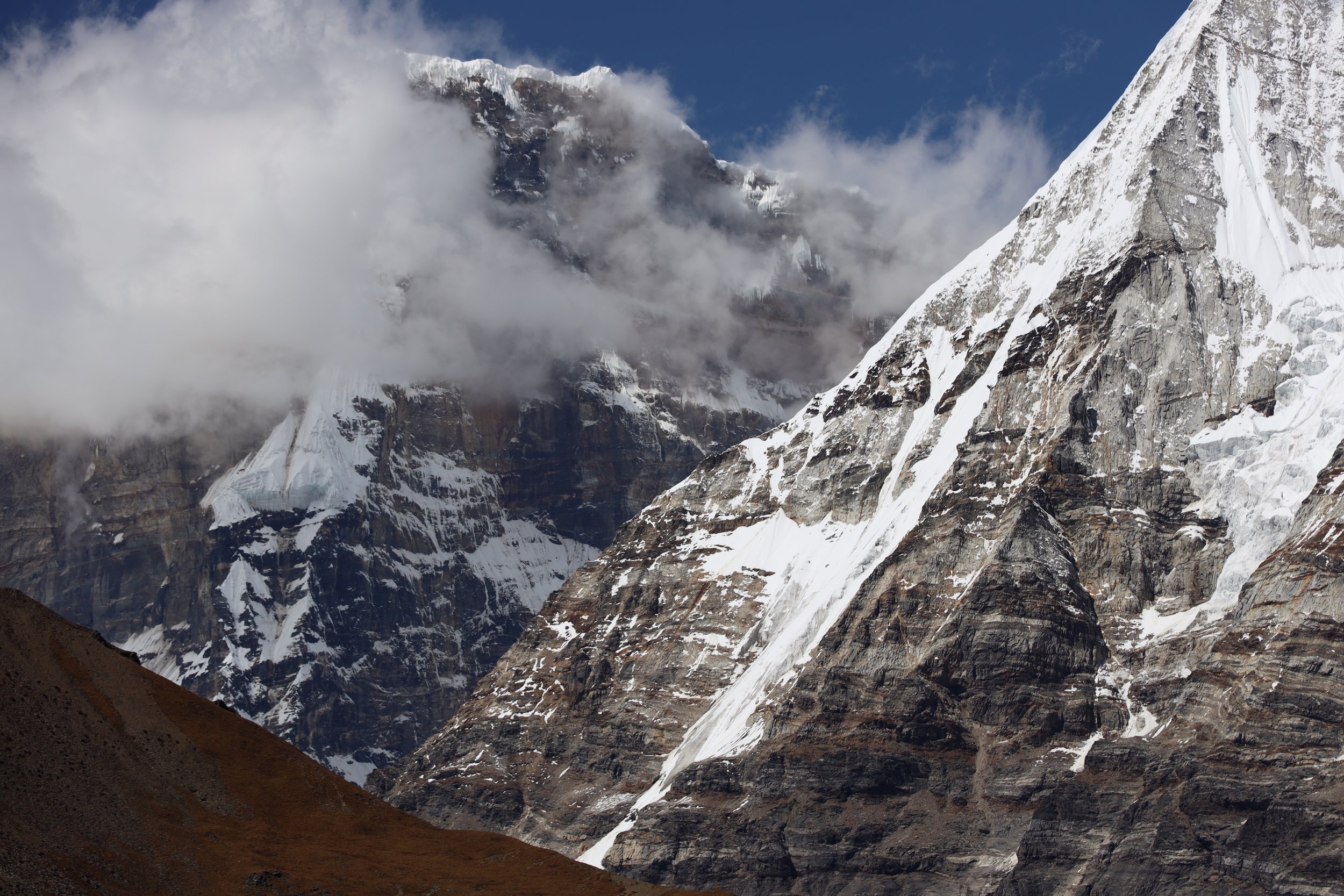
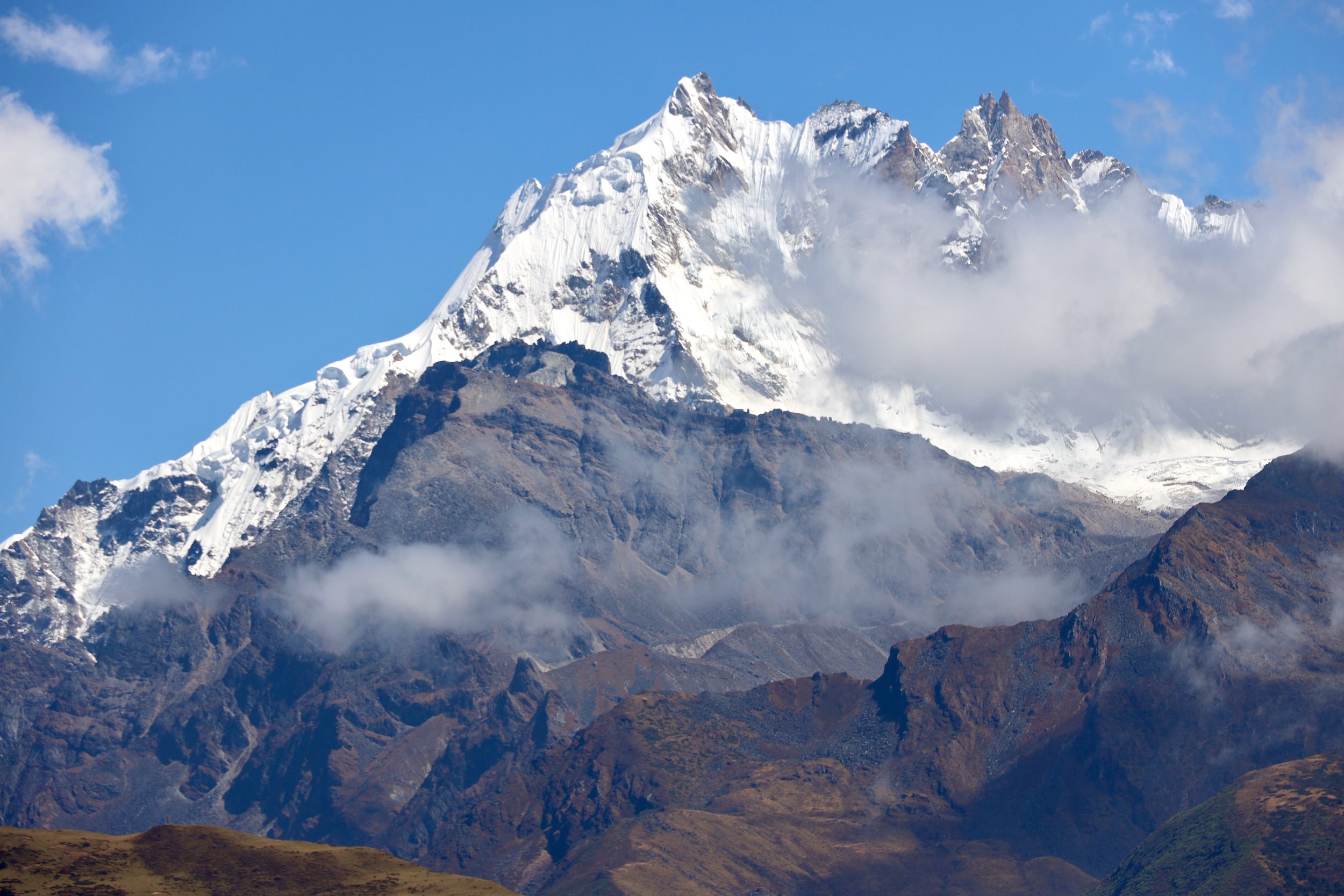
Mt. Chomolhari, Chomolhari 2, Jitchu Drake and Takaphu.
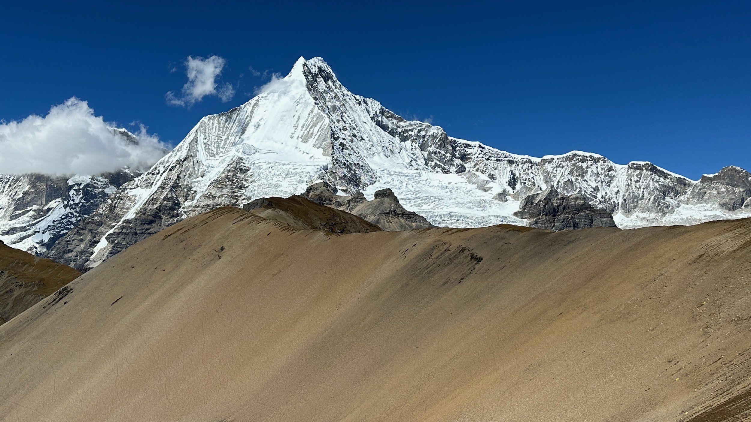
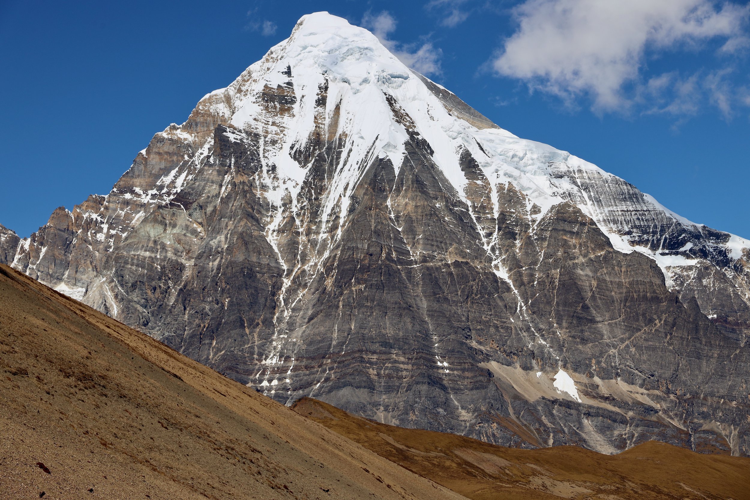
The summit of Mt. Chomolhari and Jitchu Drake on the right
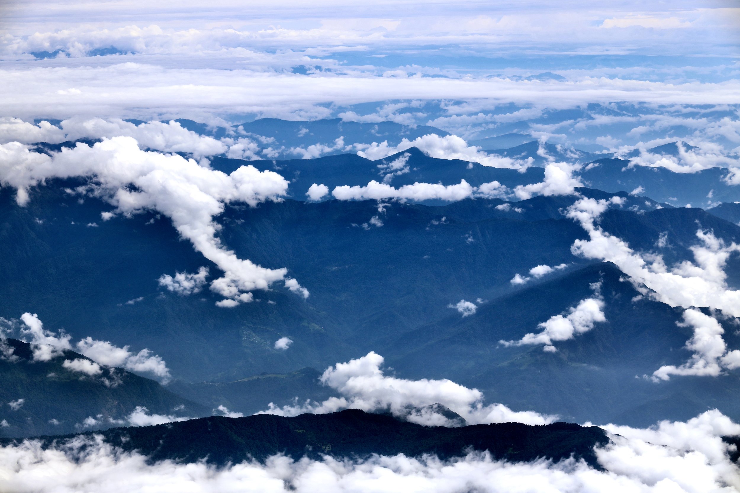
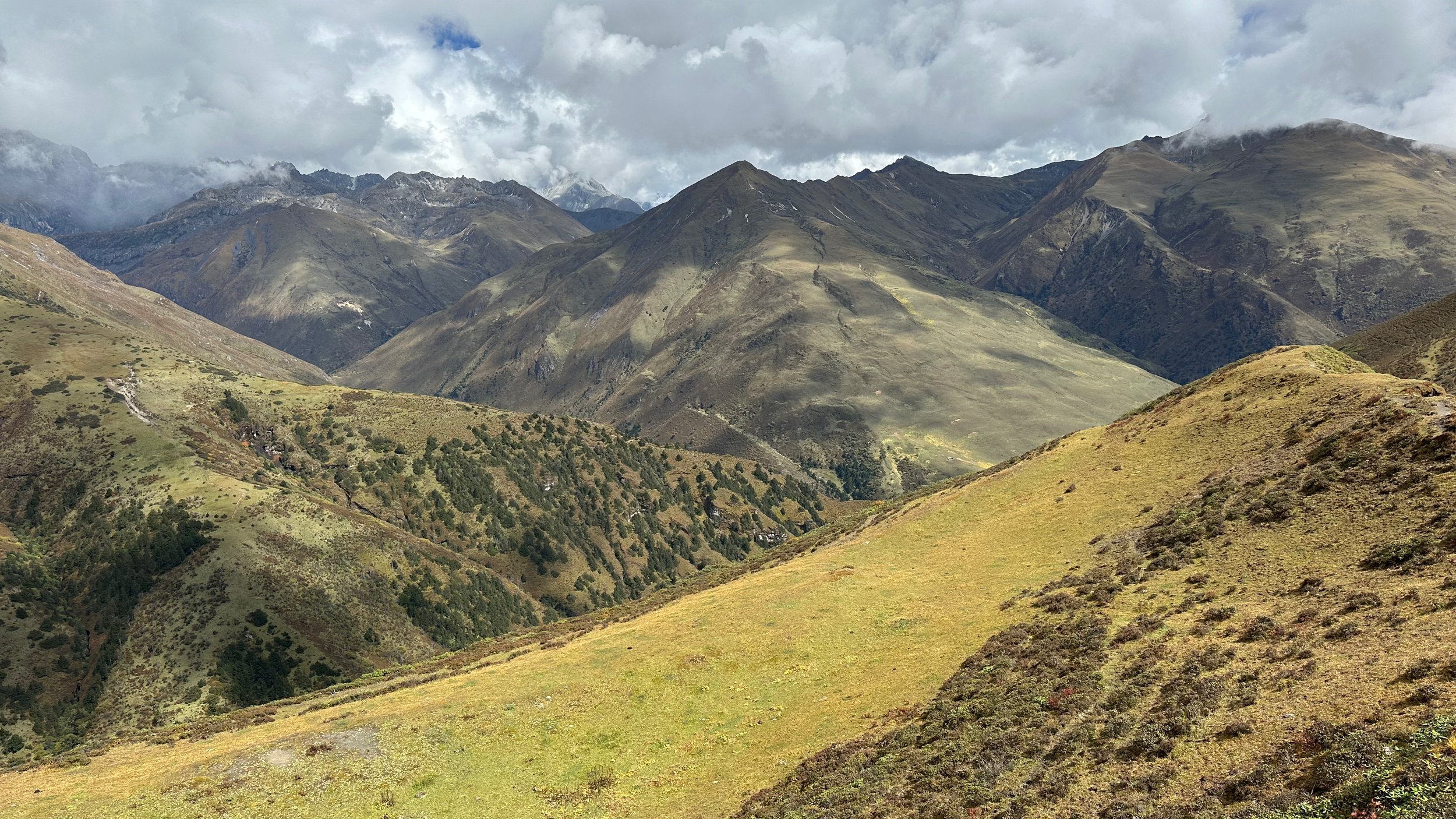
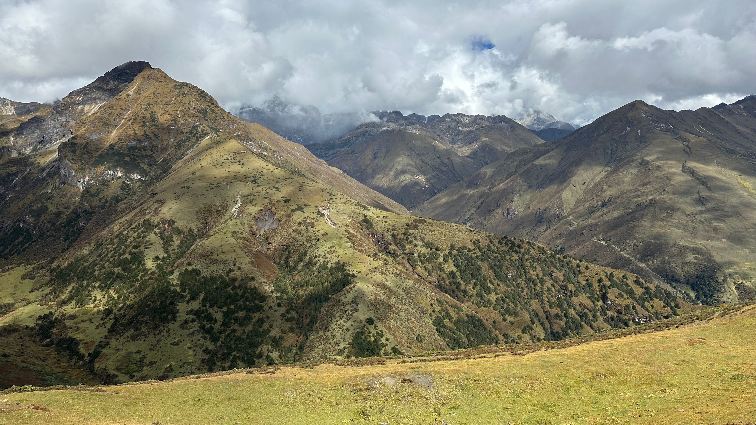
The hills of Bhutan with Kangchendzonga on the horizon
Misty Bhutan
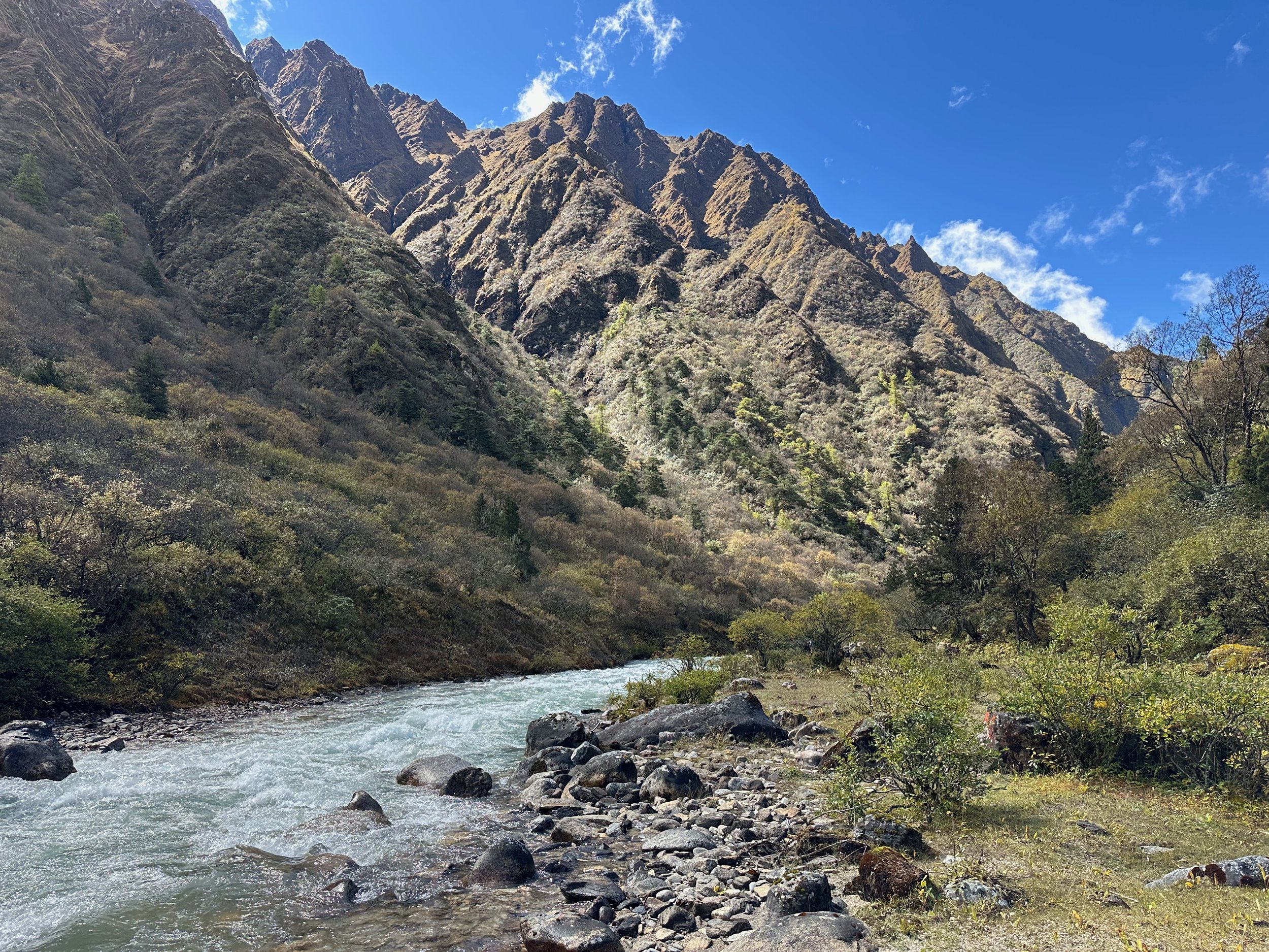
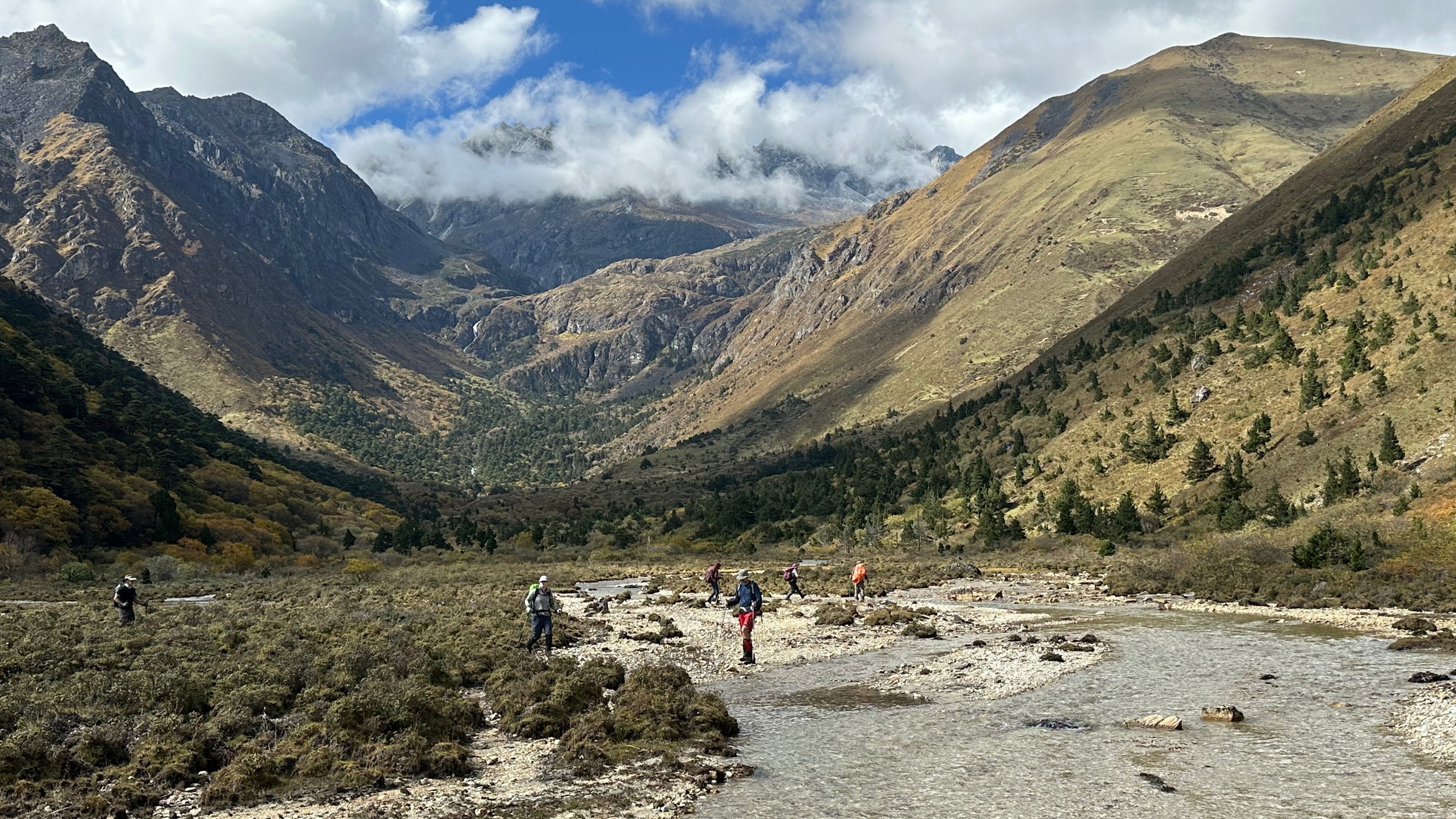
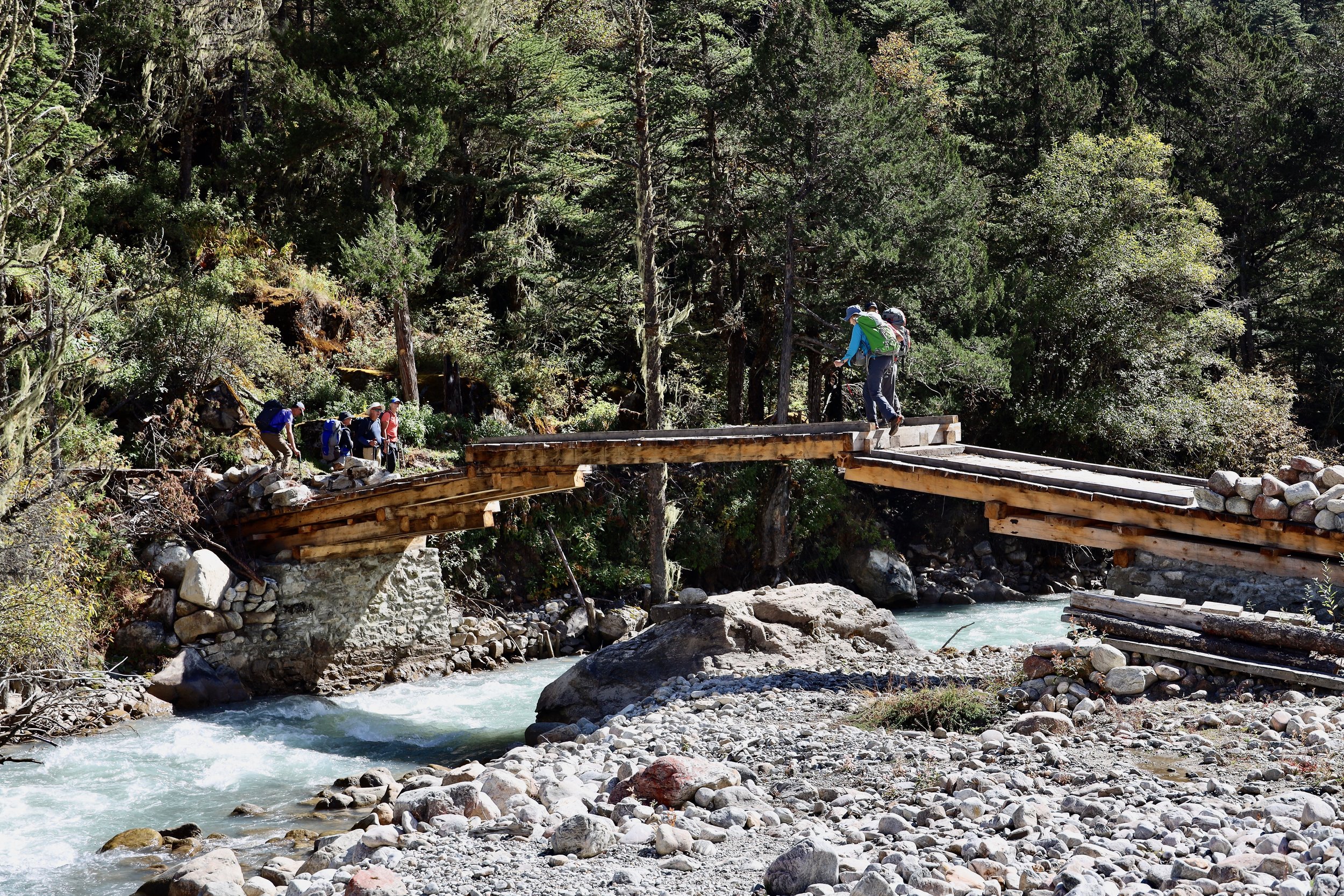
The first two days of the trek pass through a thick, moss covered forest on a wet and muddy trail.
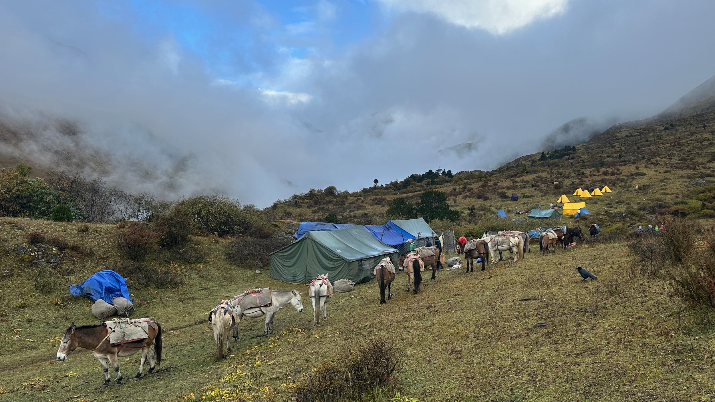
The true heroes of the journey.
Day 2 of the Snowman Trek. The Muddy camp.
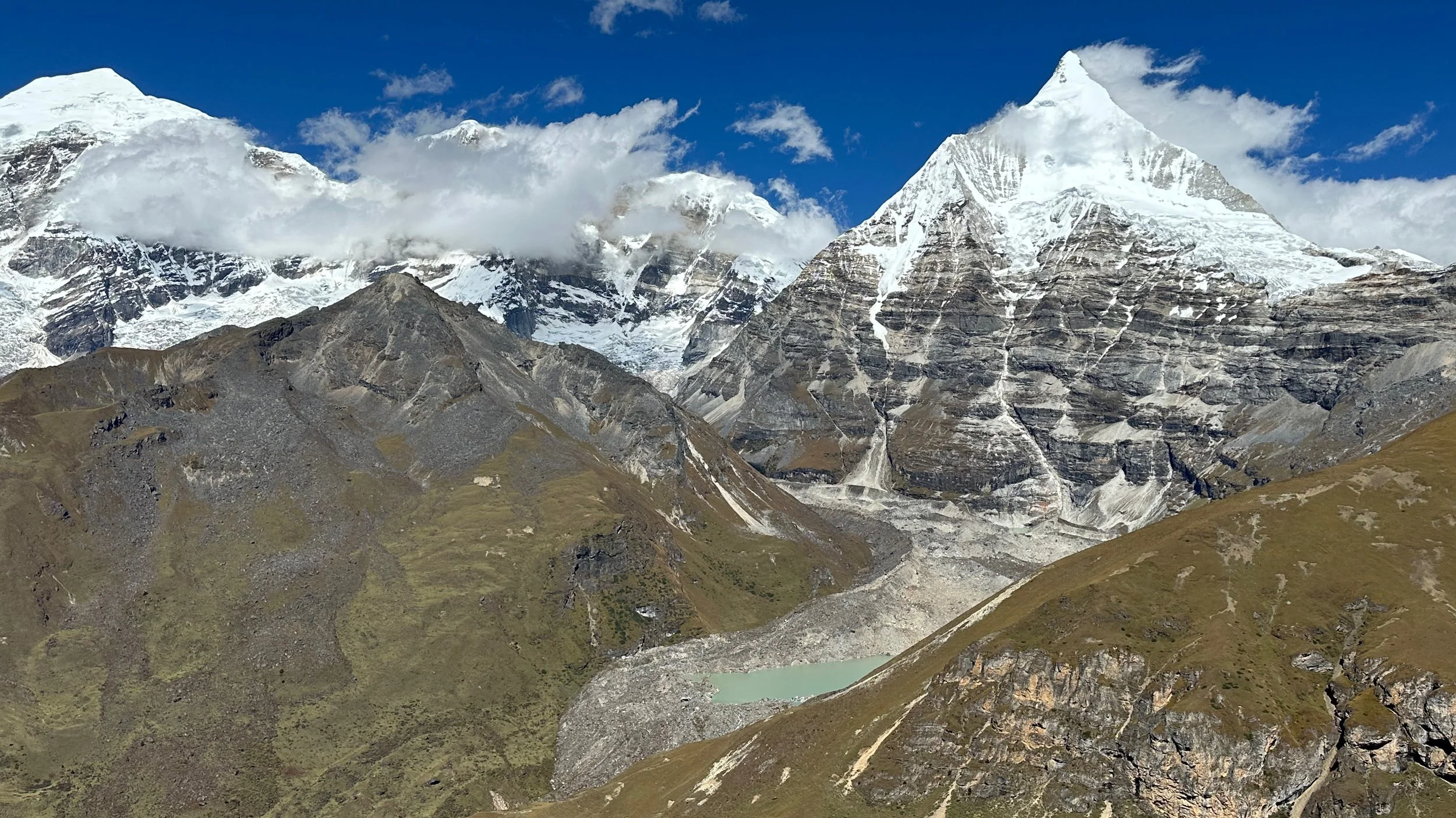
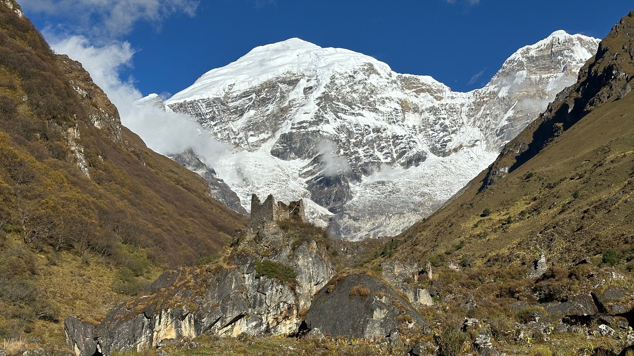
Our first view of Mt. Chomolhari 7315m.
As we ascend higher, we approach the tree line at approximately 4000m.
We reached Mt. Chomolhari basecamp on day 4.
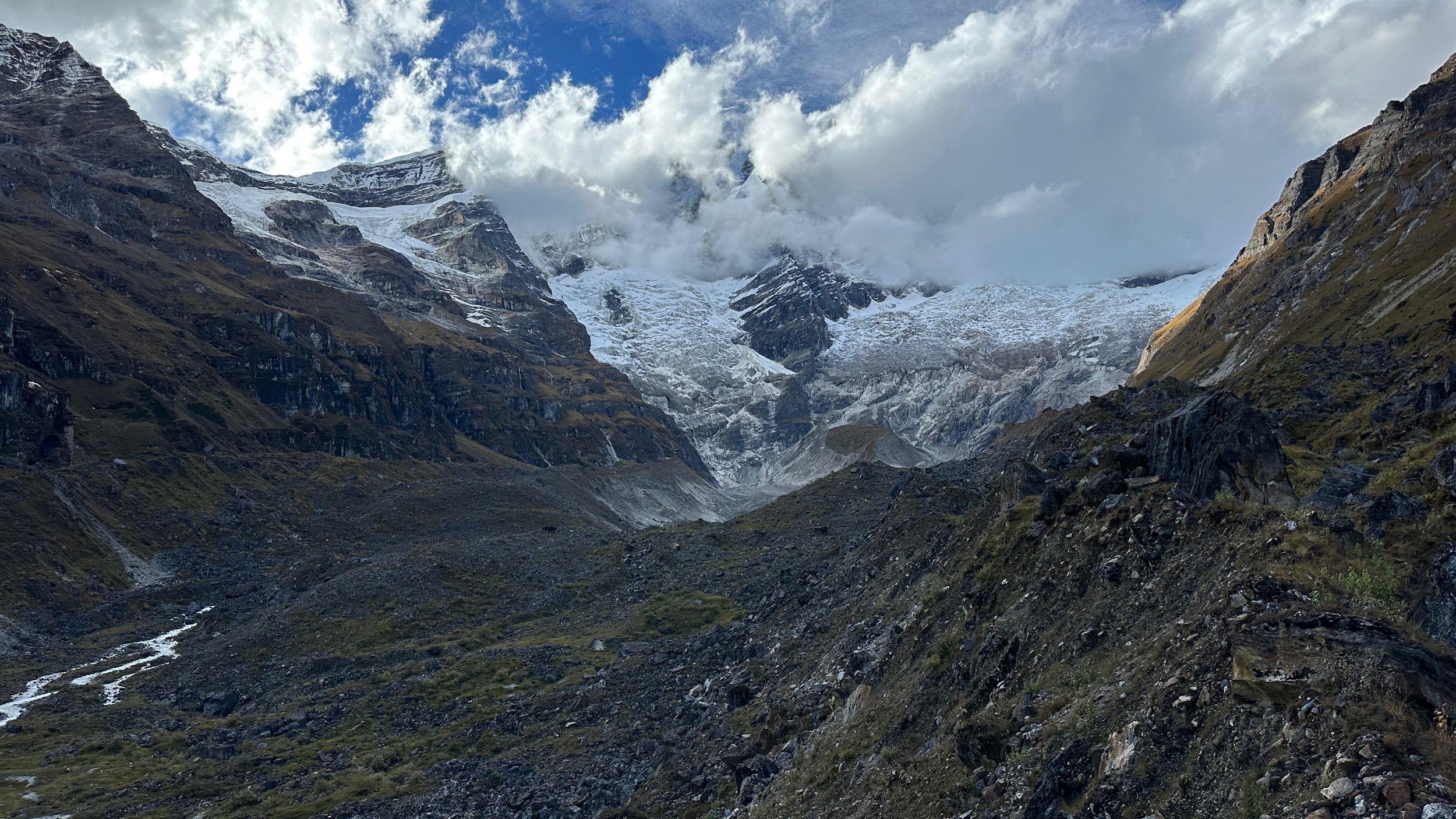
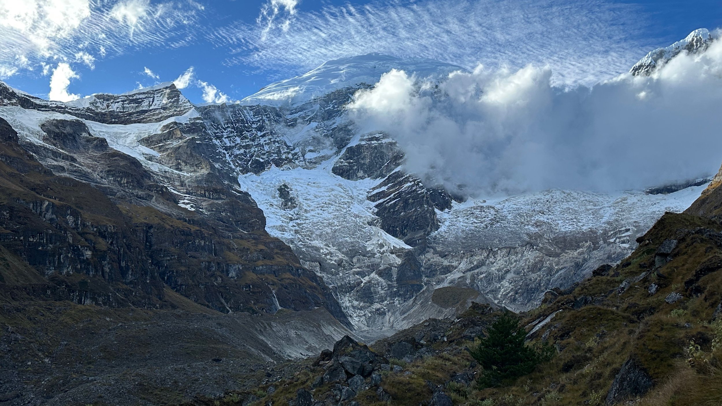
Mt. Chomolhari glacier at approx 4000m.
Standing in front of Mt. Chomolhari
Chomolhari 2
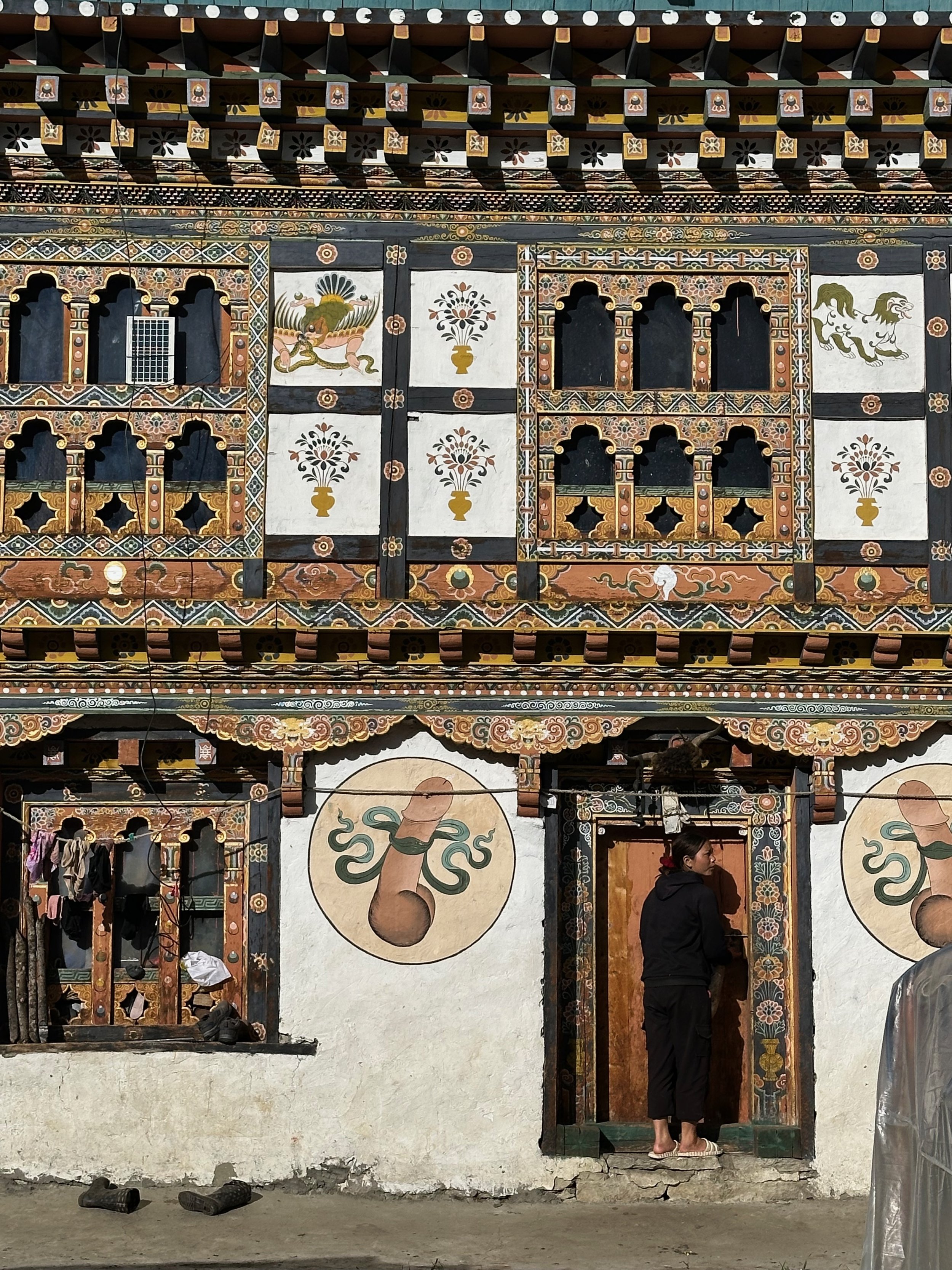
Even in these remote parts of Bhutan, the Divine Madman left his mark. An so did I!
A small shop at Mt. Chomolhari bc. Well stocked with spirits and beer (and yak jerky).
Mt. Chomolhari bc
Mt. Chomolhari 7315m and Chomolhari 2
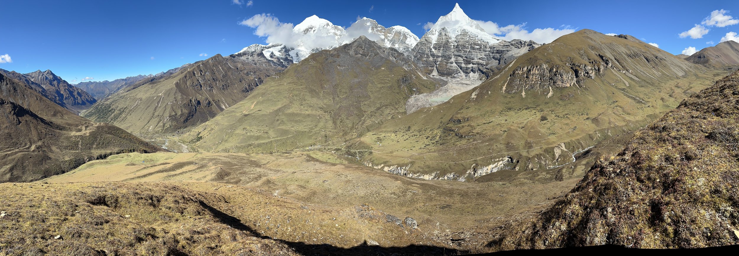
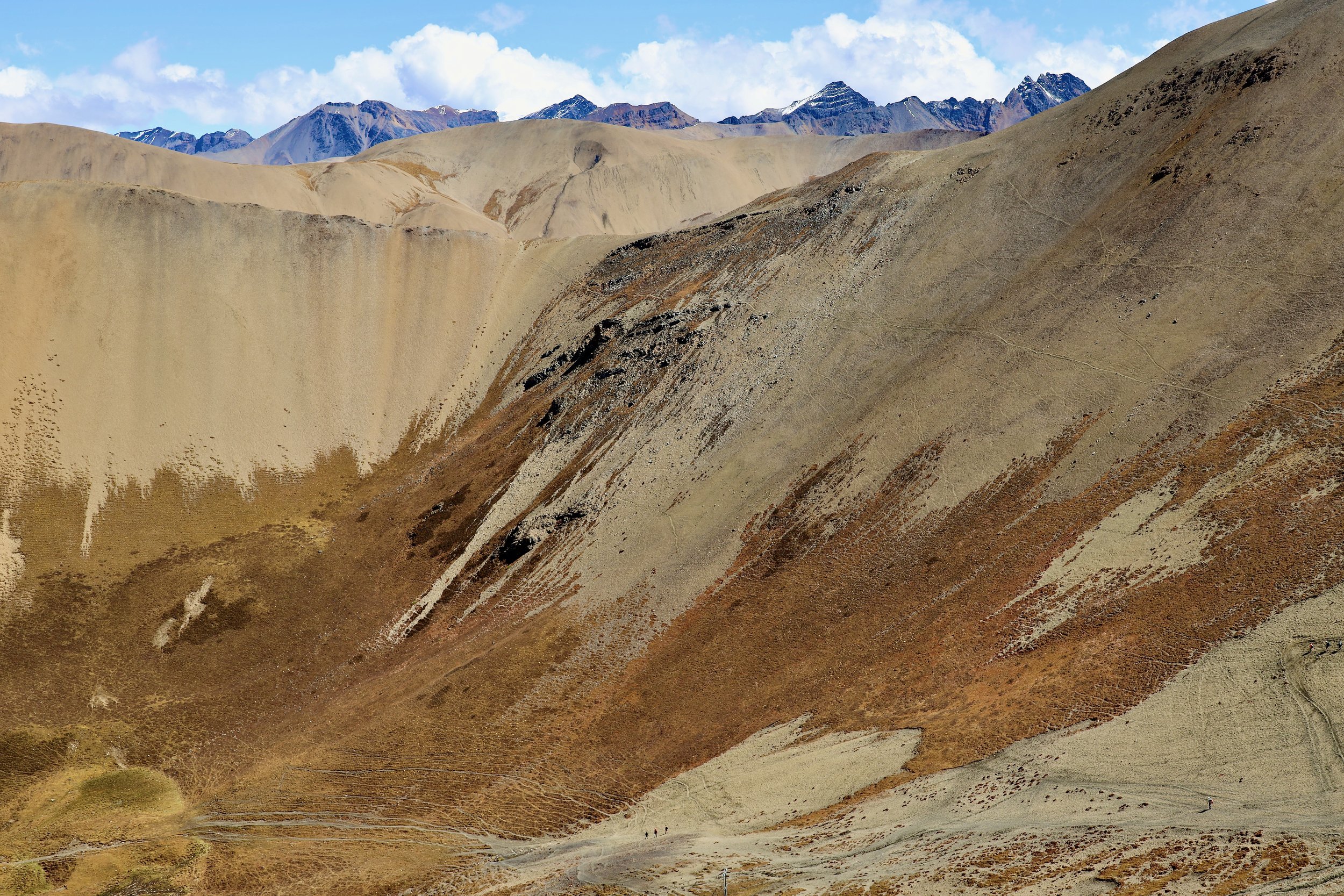
For acclimatization, I hiked 1000 vertical meters to 5000m. This turned out to be a great viewpoint for the surrounding area. It is located at the confluence of 3 valleys.
Spectacular panorama from 5000m above the Chomolhari bc.
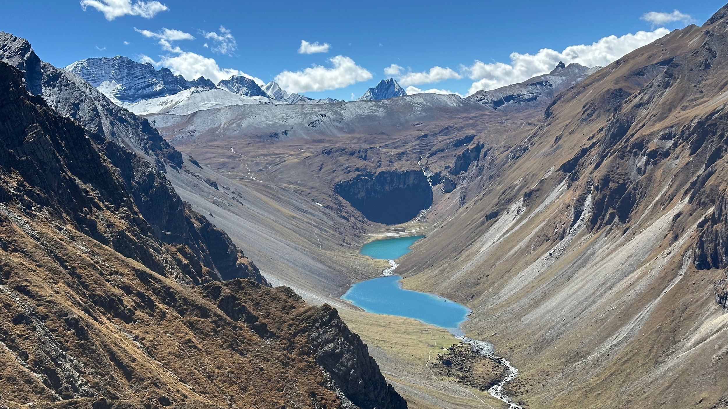
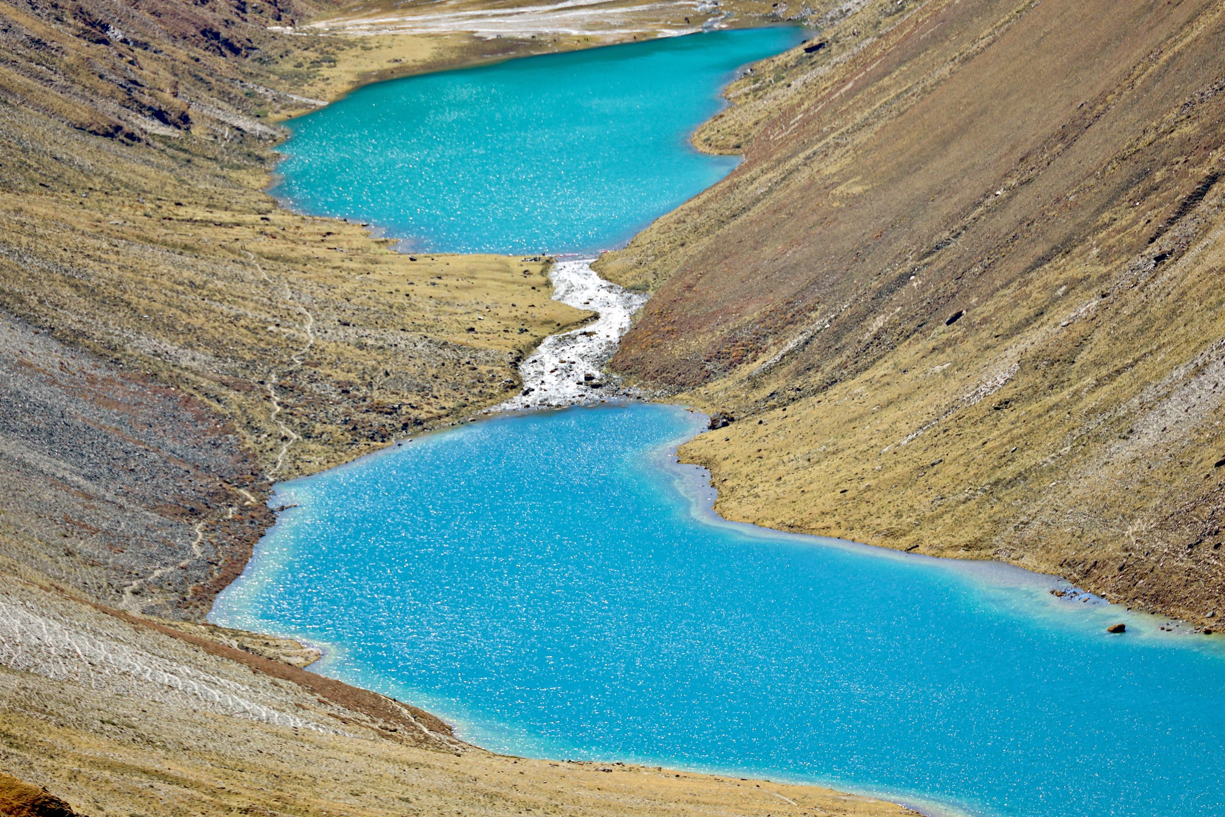
Twin Lakes and the pass named Bonte La 4890m
Bonte La
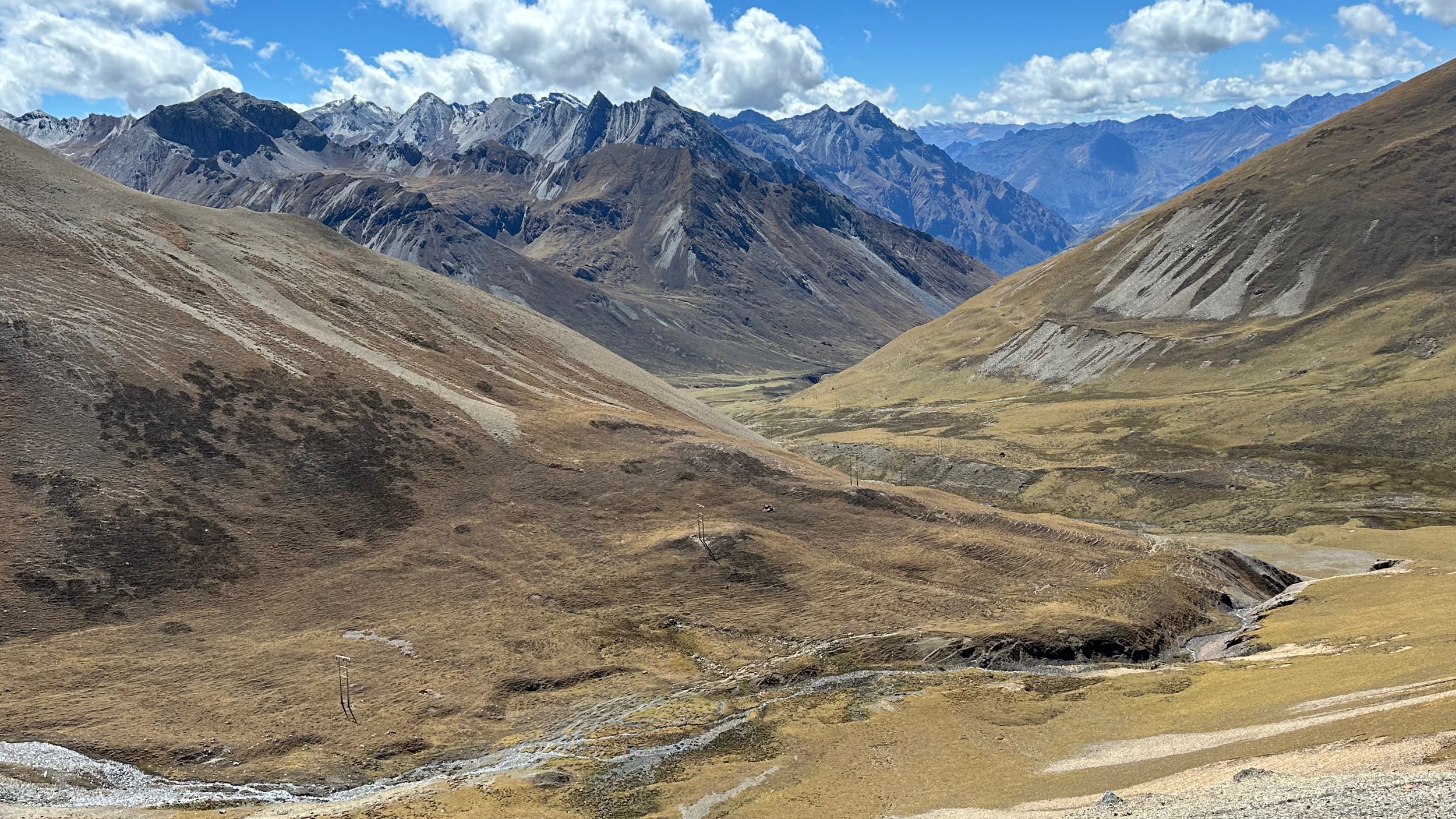
The valley leading to Bonte La
Looking down the valley of our ascent.
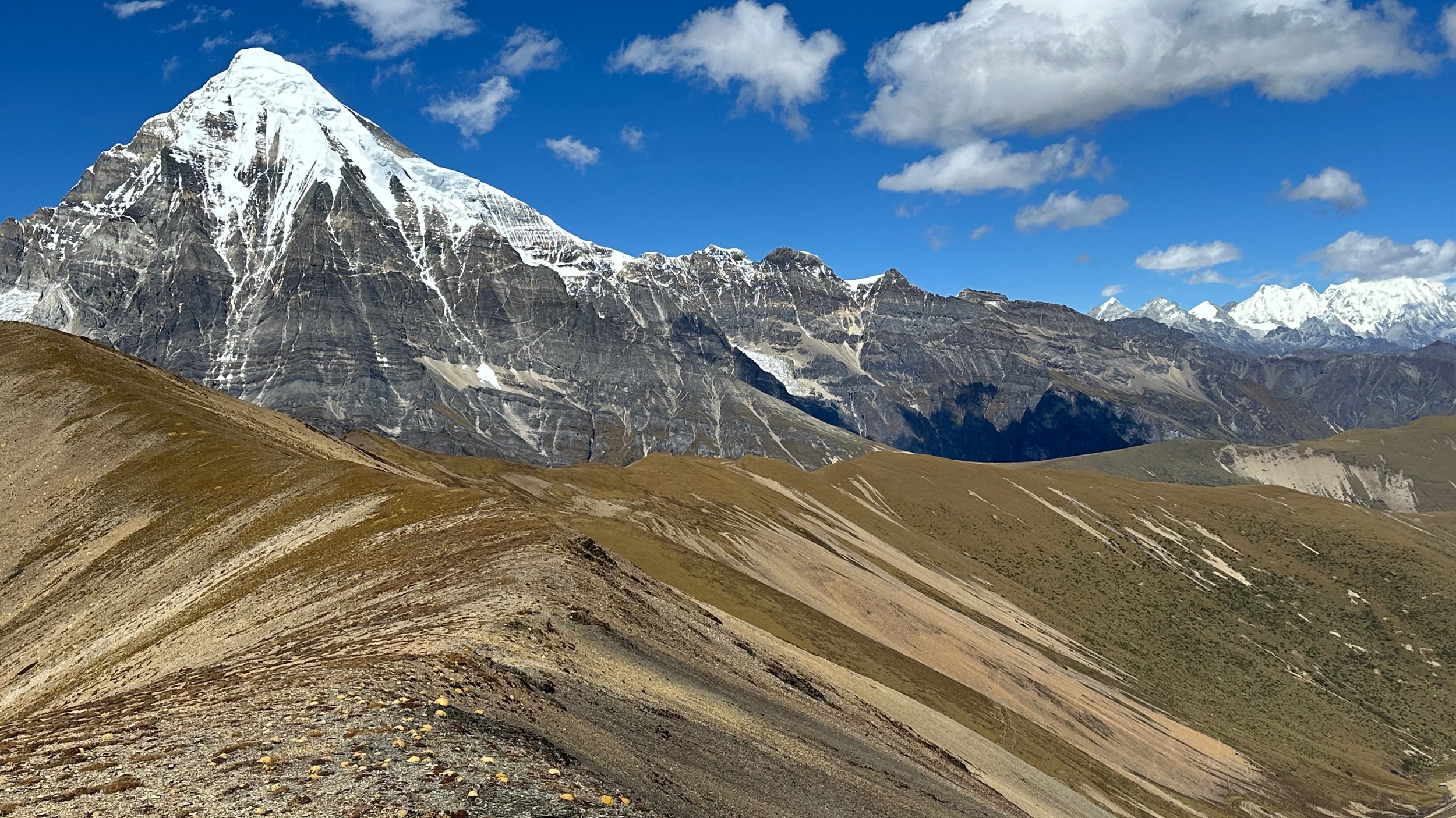
Mt. Chomolhari 1, 2 and Jitchu Drake 6850m
Very elegant angle of the Jitchu Drake 6850m. This beautiful mountain was first climbed by Doug Scott and Victor Saunders. Victor was with us on the Snowman Trek and shared his stories from the climb.
Jitchu Drake
Mt. Chomolhari 1
Looking down at our camp at Mt. Cholomari bc.
Beautiful sunrise on Mt. Chomolhari
Moving on to the first pass of the journey: Nyile La 4890m.
Final few meters before Nyile La.
The Nyile La Pass at 4890.
Nyile La Pass with Mt. Chomolhari 1 and 2, Jitchu Drake and Tsheri Kang 6526m
Nyile La Pass and Mt. Jitchu Drake
Chomolhari 2 and Jitchu Drake
Jitchu Drake 6850m
The double summit of Jitchu Drake
Tshheri Kang 6526m. Far in the distance is Tiger Mountain.
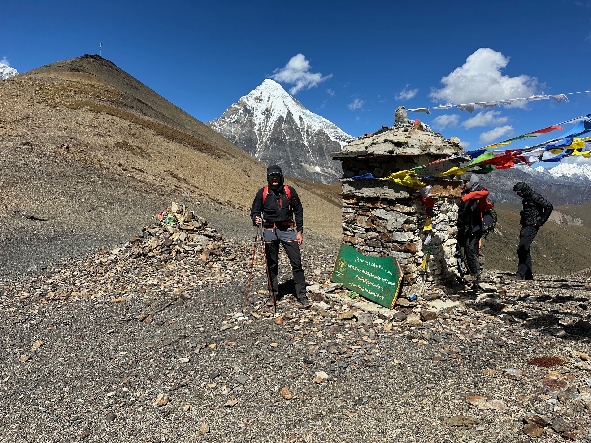
Fantastic Panorama from the Nyiele La Pass. The view extends to the mountains that we will cross in a week.
Nyiele La Pass
Lingshi Dzong far below and the mountains we would traverse within a week.
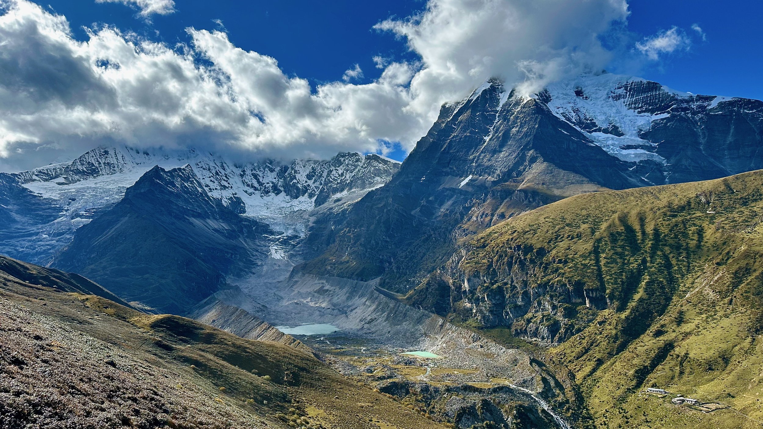
The massive Tiger Mountain (Gancheta) 6840m.
Tiger Mountain 6840m and basically the line of our trek straight ahead.
Tsheri Kang 6526m above Nyilele La.
Looking west from the top of Nyilele La to where we came from.
The views from the trail between Nyilele La and Lingshi
Lingshi Dzong
Descending to our campsite.
Tsheri Kang 6526m and Sirima Gang 5784m
Tsheri Kang 6526m and Sirima Gang 5784m
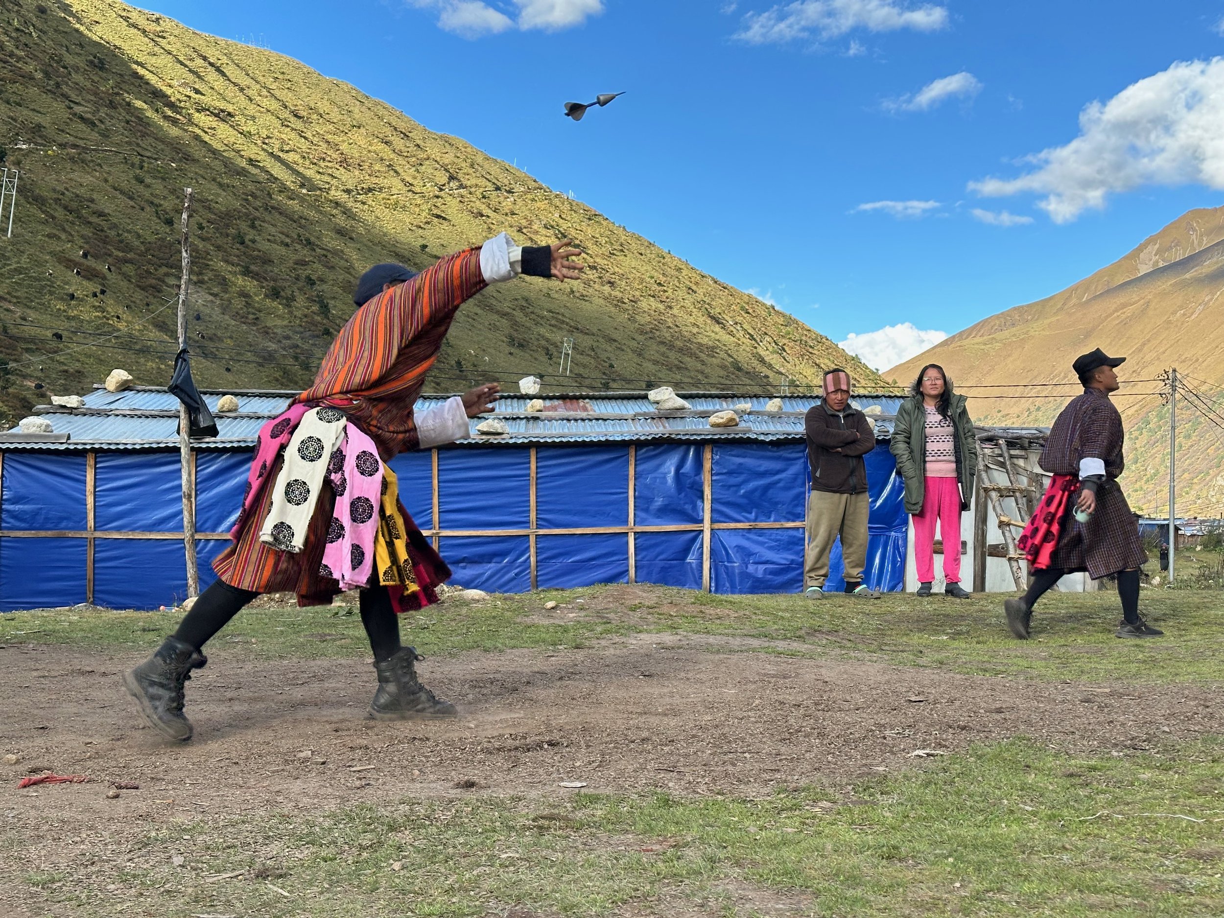
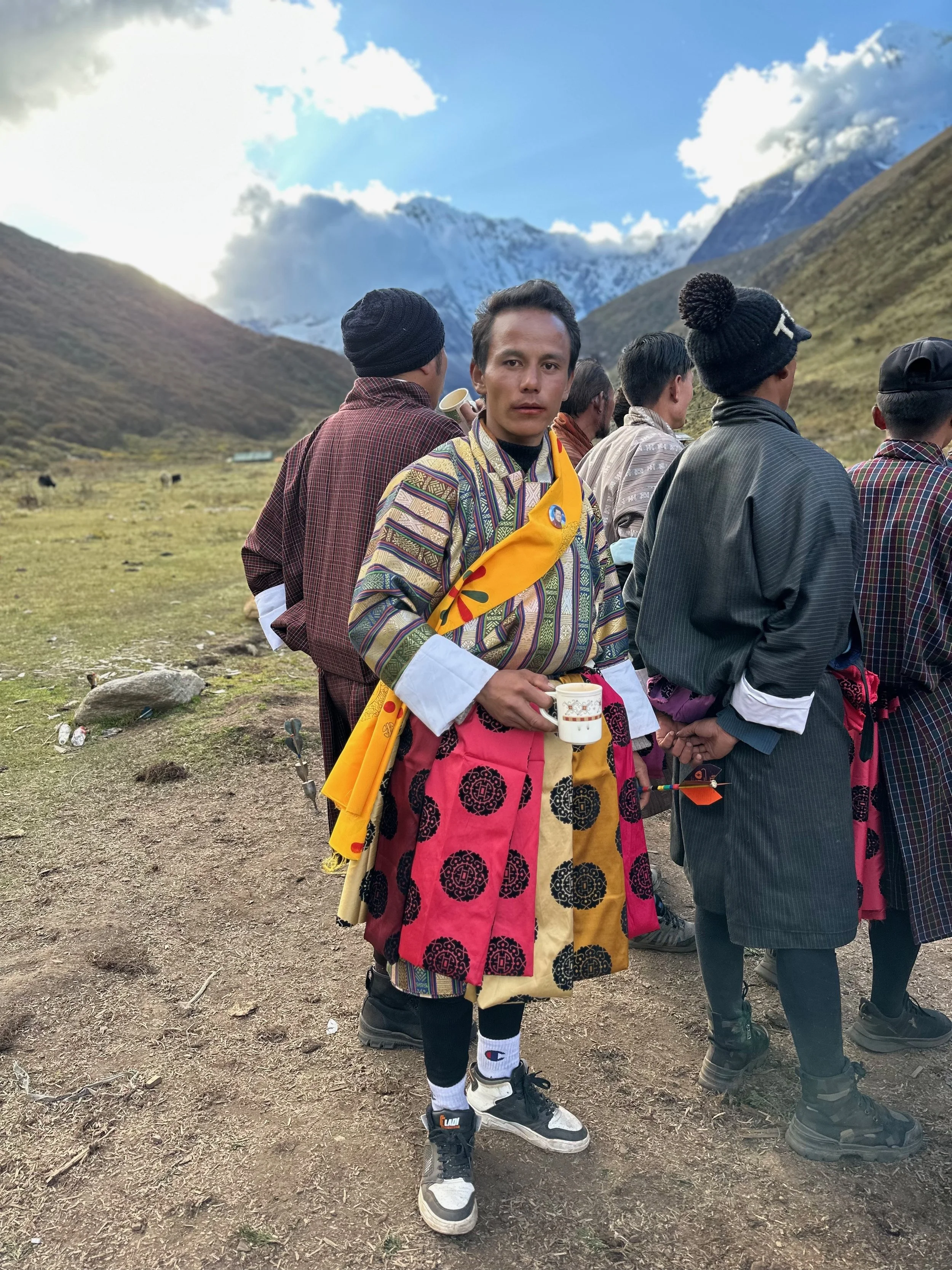
We came across a dart throwing contest. It is one of the national sports of Bhutan (next to archery). The locals dress up for the occasion and take it quite seriously. A colourful scarf is awarded for the bullseye throw.
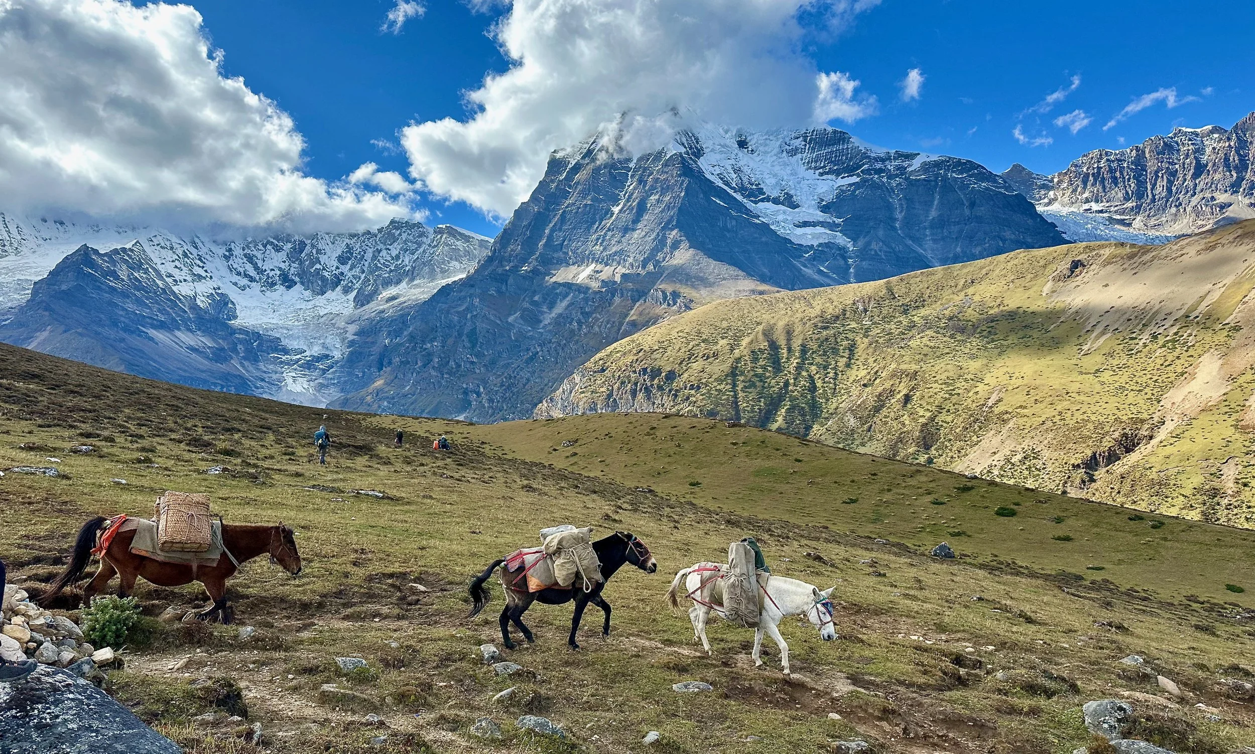
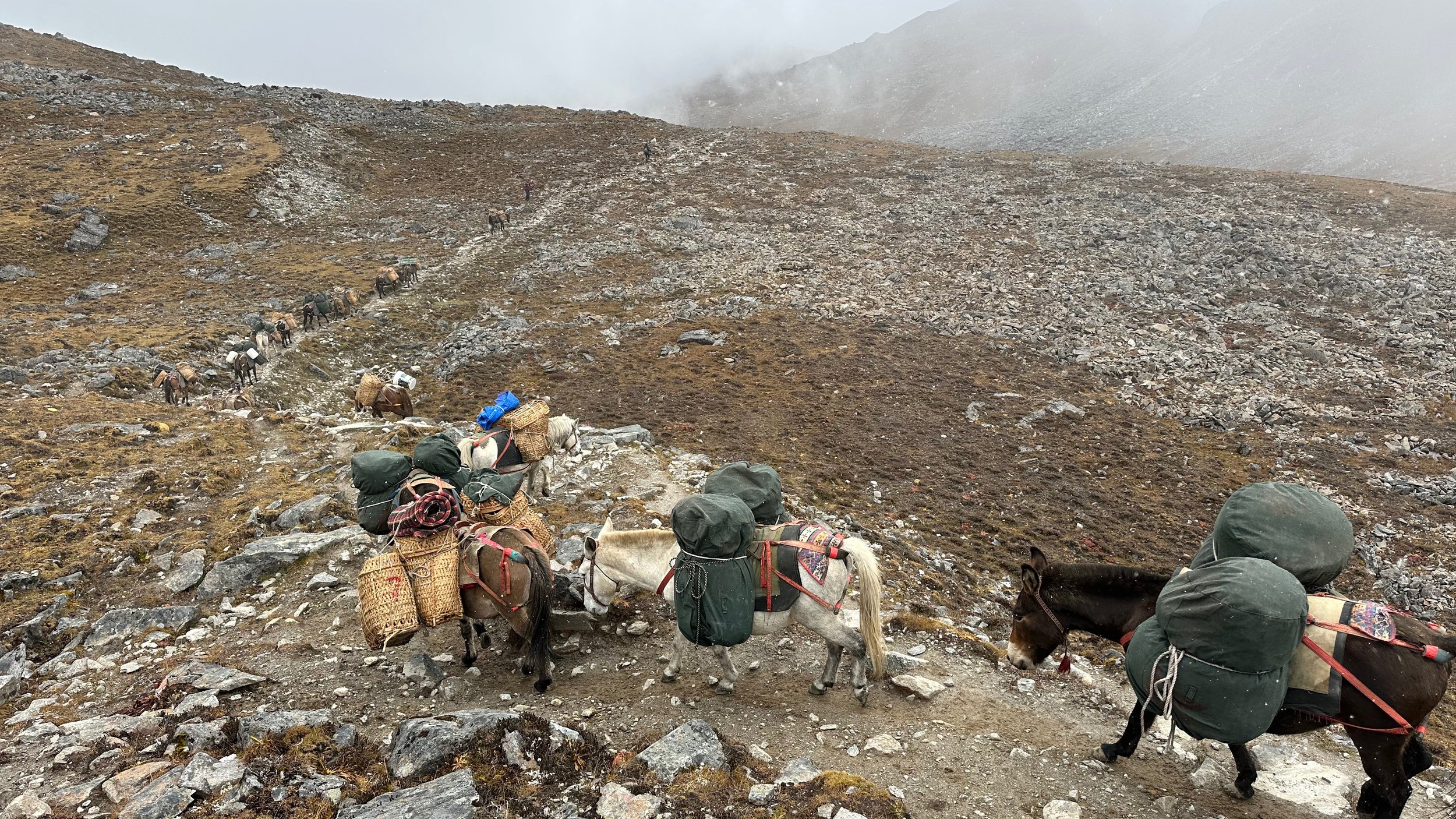
Pema, the horse lady. She has 8 horses used to ferry supplies for us.
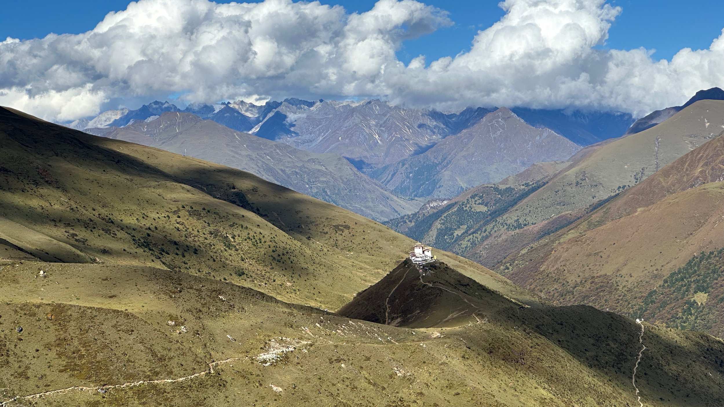
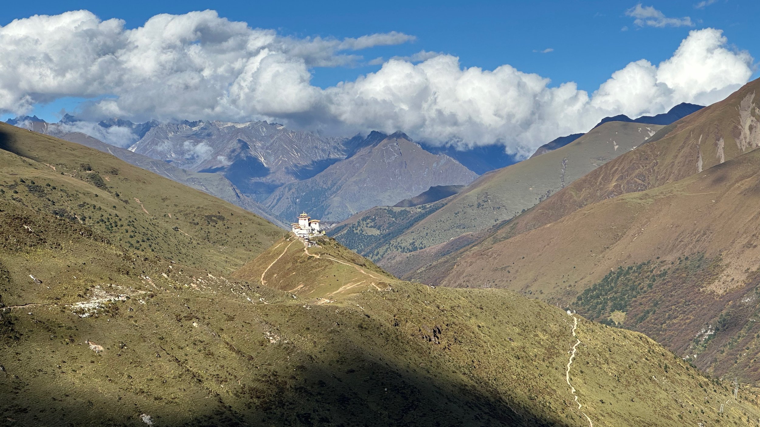
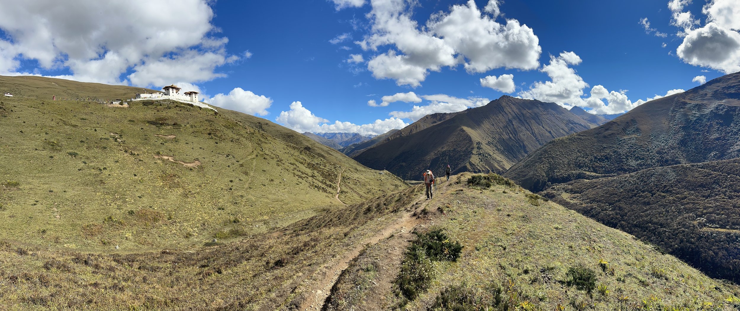
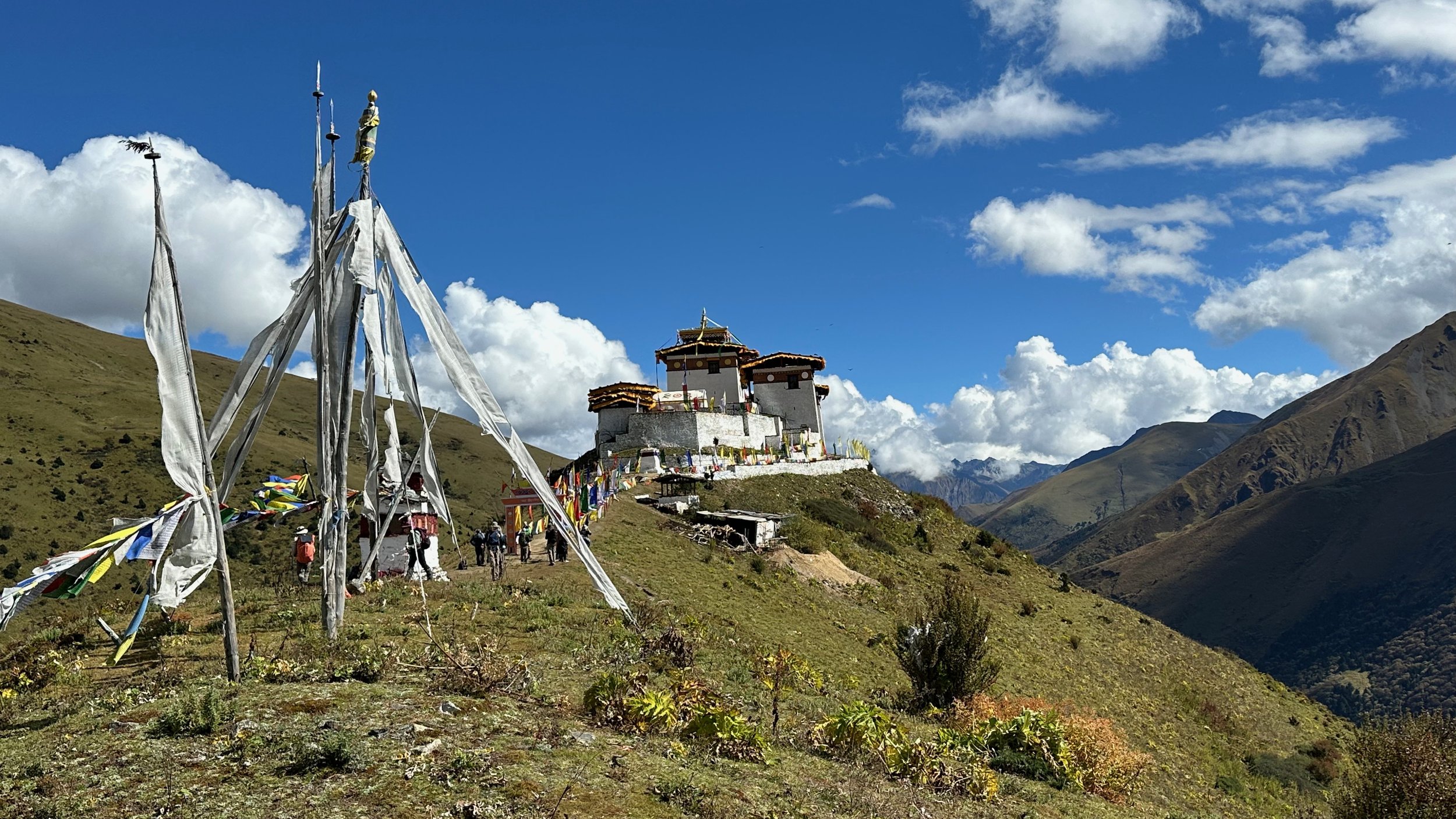
Lingshi Dzong (fortress)
Mt. Tsheri Kang on the way to Lingshi Dzong. The Dzong was recently renovated and opened just two days prior to our arrival! It was all beautifuly decorated for the occasion.
The courtyard of the Dzong
Beautifully renovated Lingshi Dzong
Inside the Lingshi Dzong
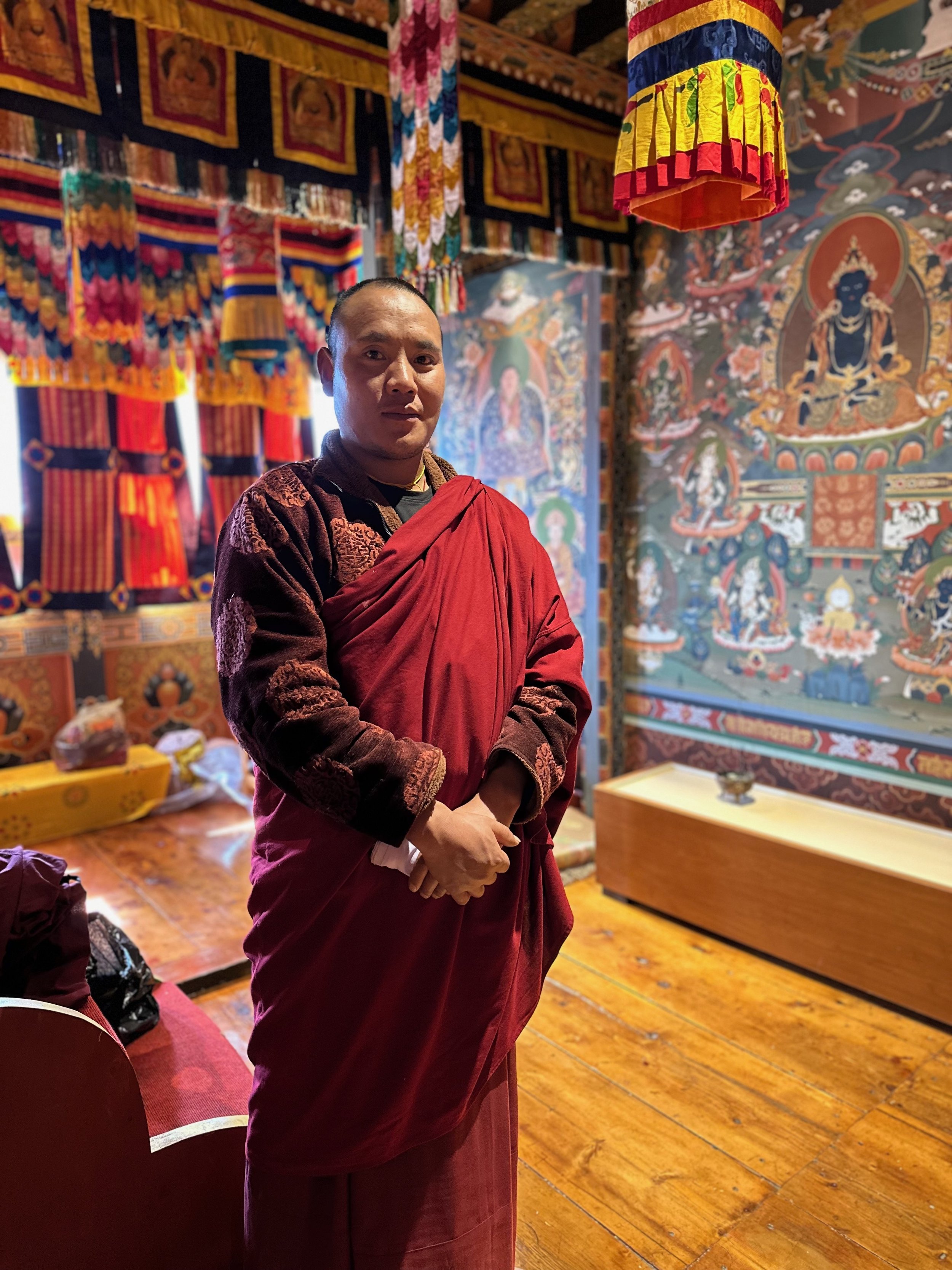
The head Lama of the Lingshi Dzong
Lingshi
Lingshi village with the Dzong on the hill in the distance
In the Lingshi school
Lingshi school
Lingshi school
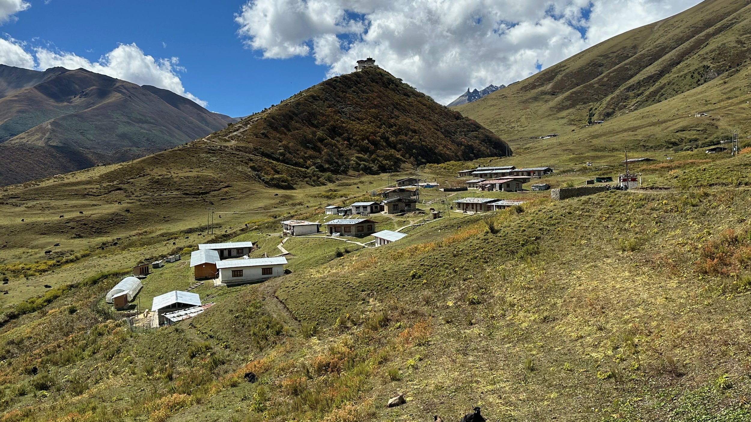
Goyok at 4000m between Lingshi and Chebisa
Small pass above Goyok
Goyok village
Goyok village
Chebisa village at 3990m
Chebisa village
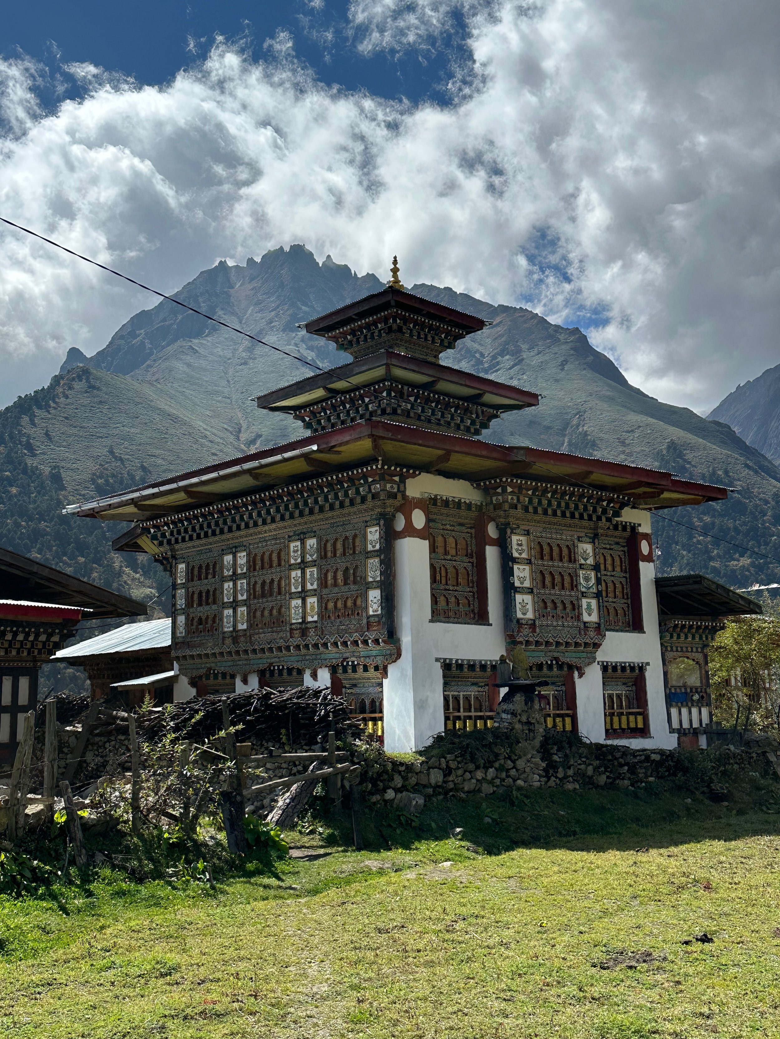
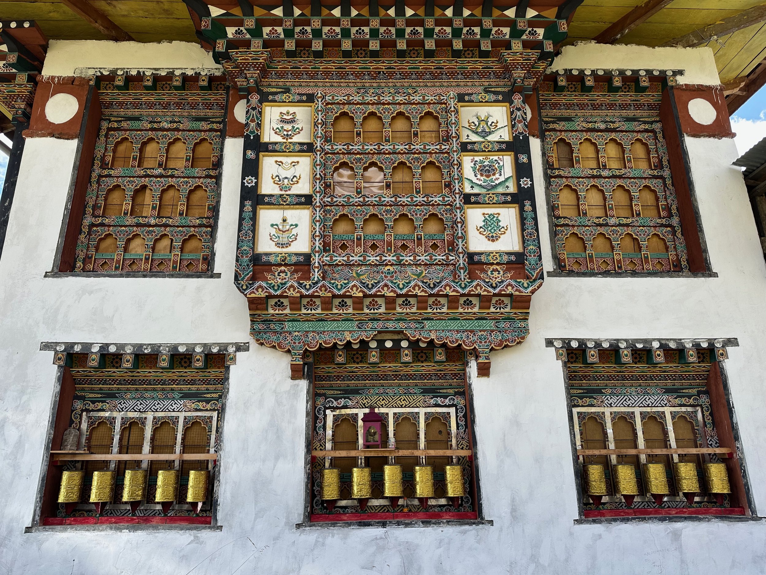
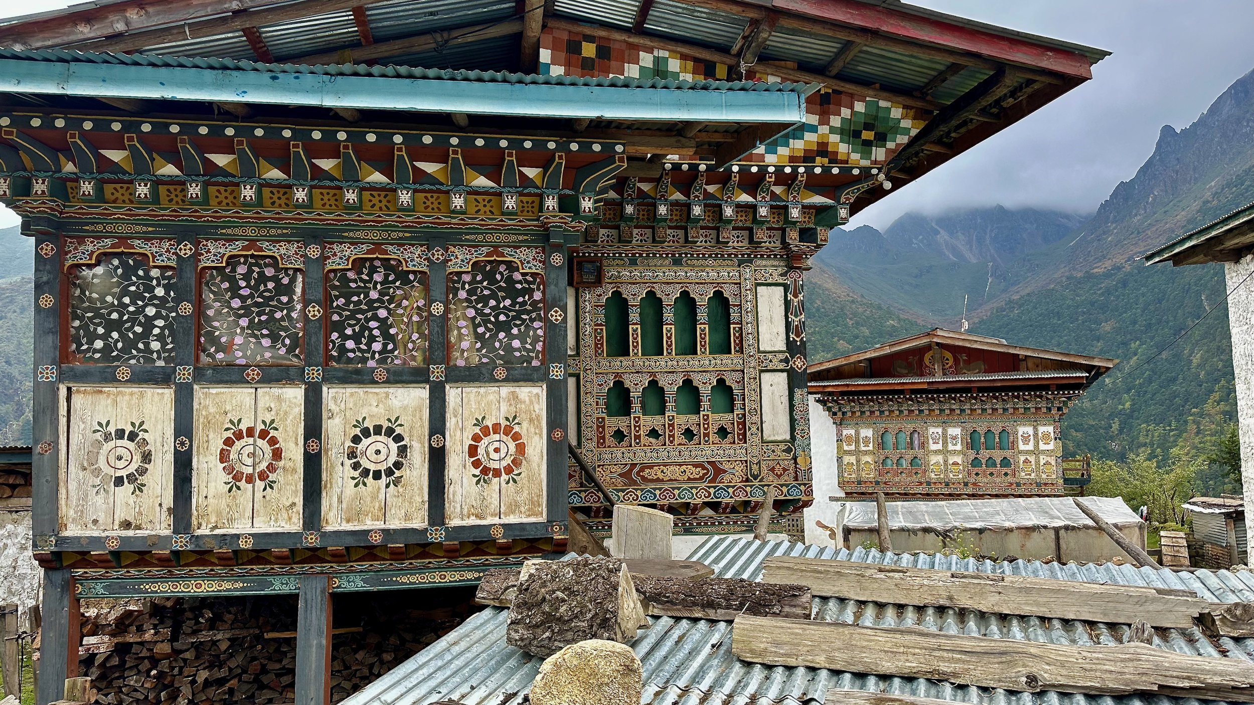
Beautiful Bhutanese architecture in Chebisa village
Chebisa village
The blankets from our horses in Chebisa
Inside a Bhutanese home in Chebisa village
Bhutanese home in Chebisa
Above Chebisa village on the way to Gombu La pass 4440m
Gombu La pass at 4440m
Gombu La Pass
Going down to the campsite
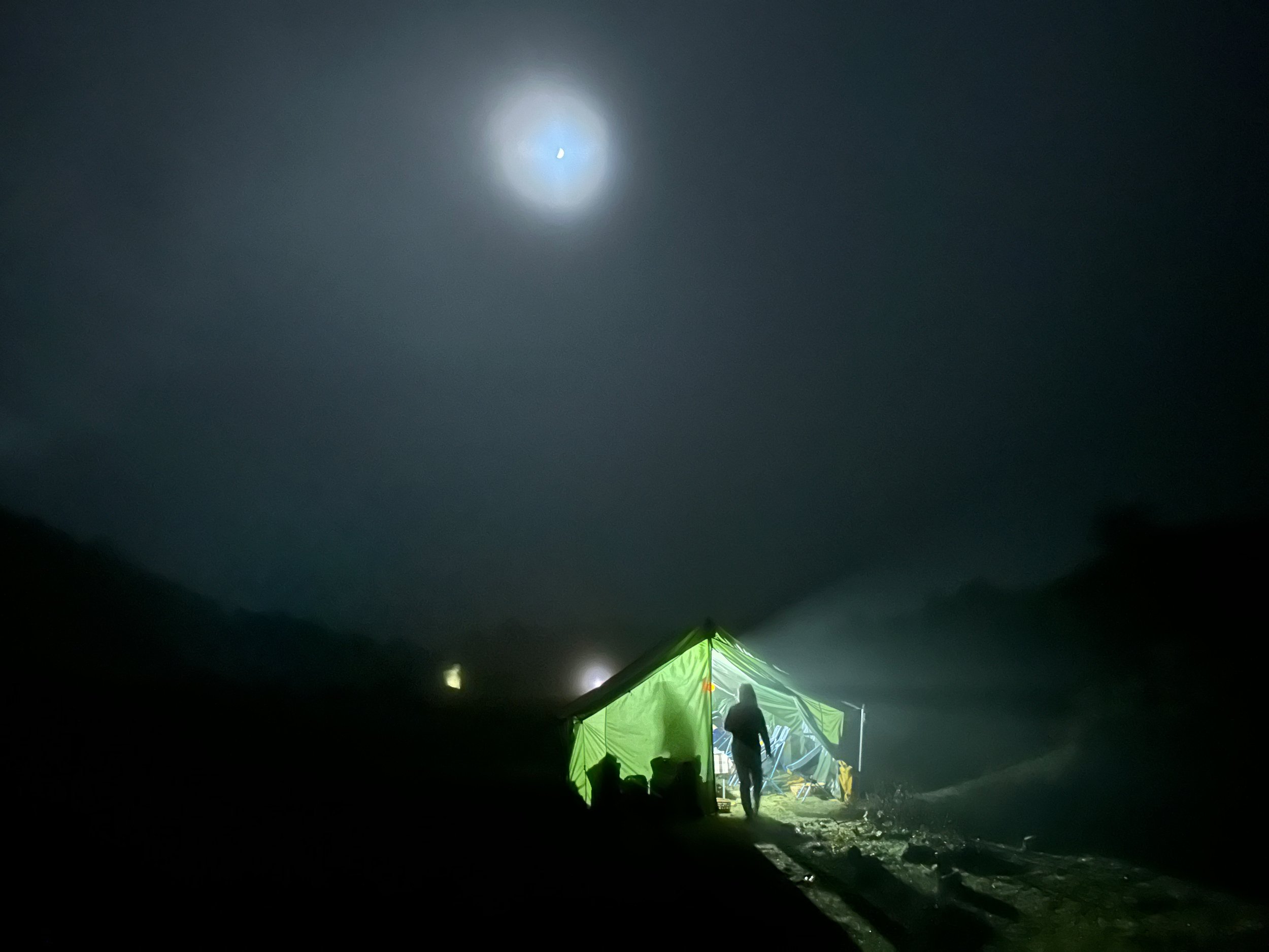
Foggy evening and our mess tent
Local tea house
Jare La pass 4785m
Jare La Pass 4785m
Jare La Pass
Looking at the pass that we will have to cross the next day: Sinche La 5000m. It is a long way down with a massive climb up to follow.
Approach to Sinche La Pass 5000m
Desolate Sinche La Pass 5000m
Desolate pass and no views…
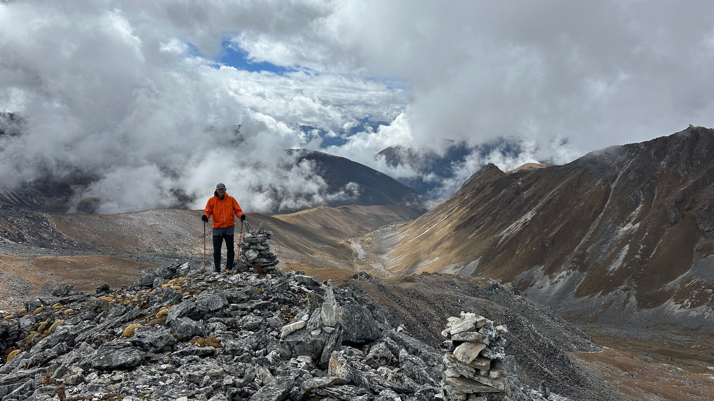
View from the hill above Sinche La Pass at 5100m.
The high Himalaya are hiding in the clouds.
at 5100m
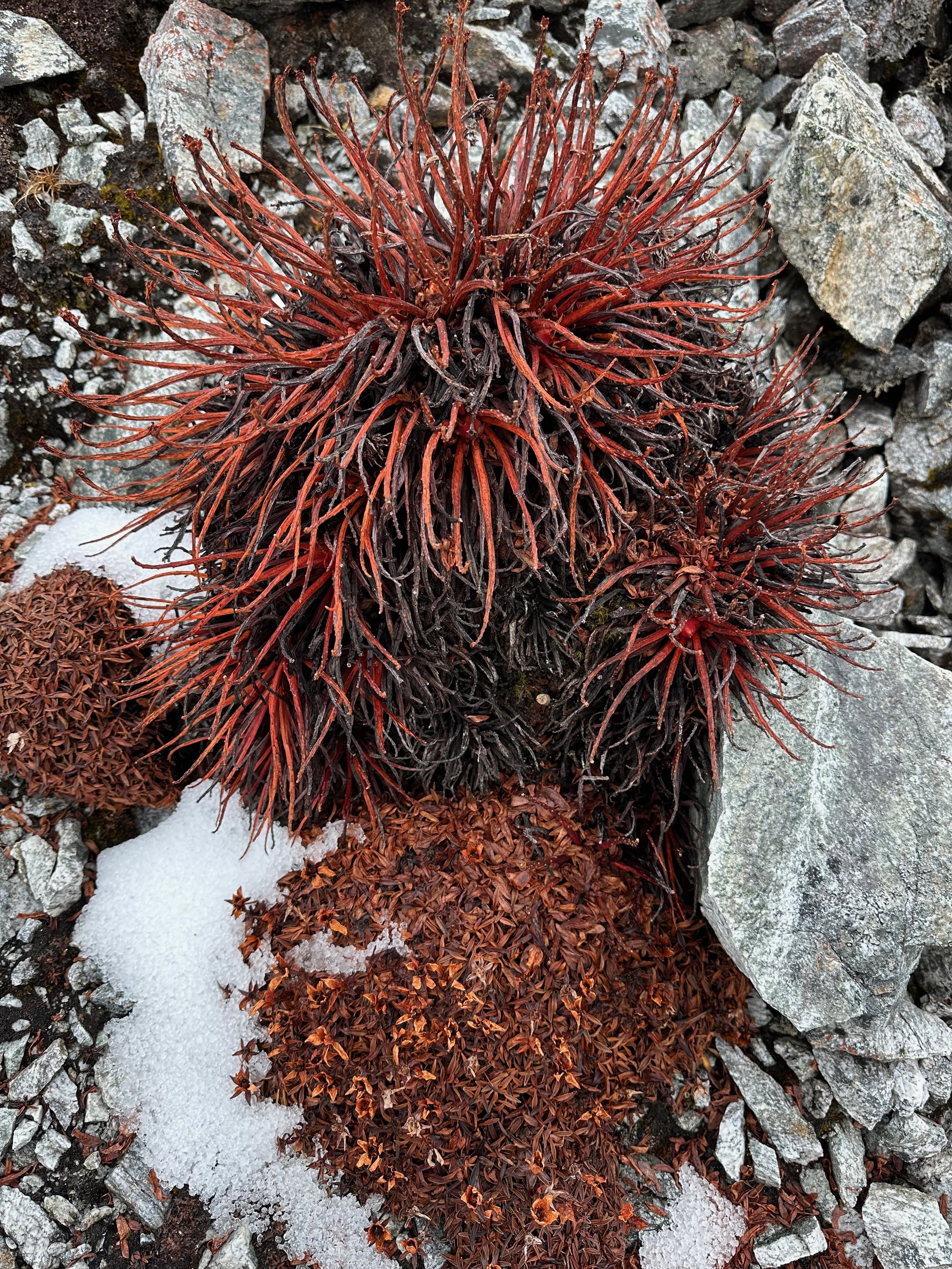
Strange high altitude plants
Sinche La Pass
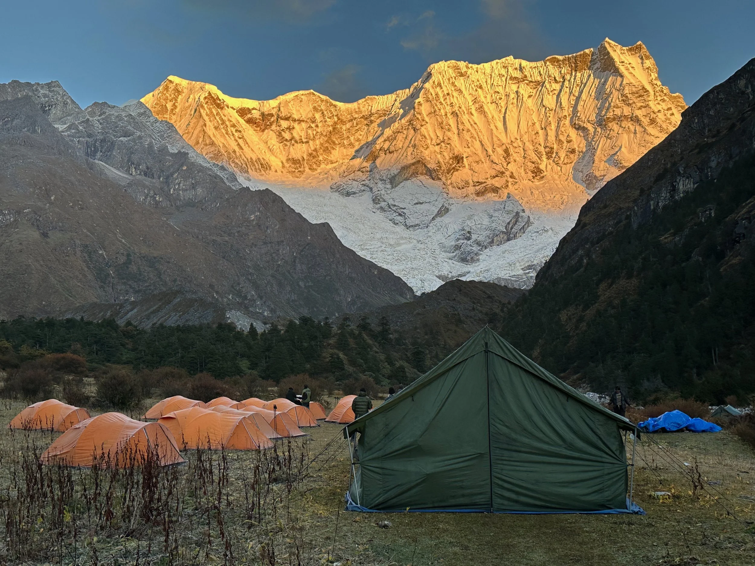
En route to the Limithang campsite. The campsite is located just in front of the Tiger Mountain. We are surrounded by high peaks and glaciers but all hidden in the clouds.
down, down, down!
Sunrise on Tiger Mountain at Limiting campsite 4180m
Tiger Mountain 6840m
Tiger Mountain 6840m
Only 3 more hours to Laya village.
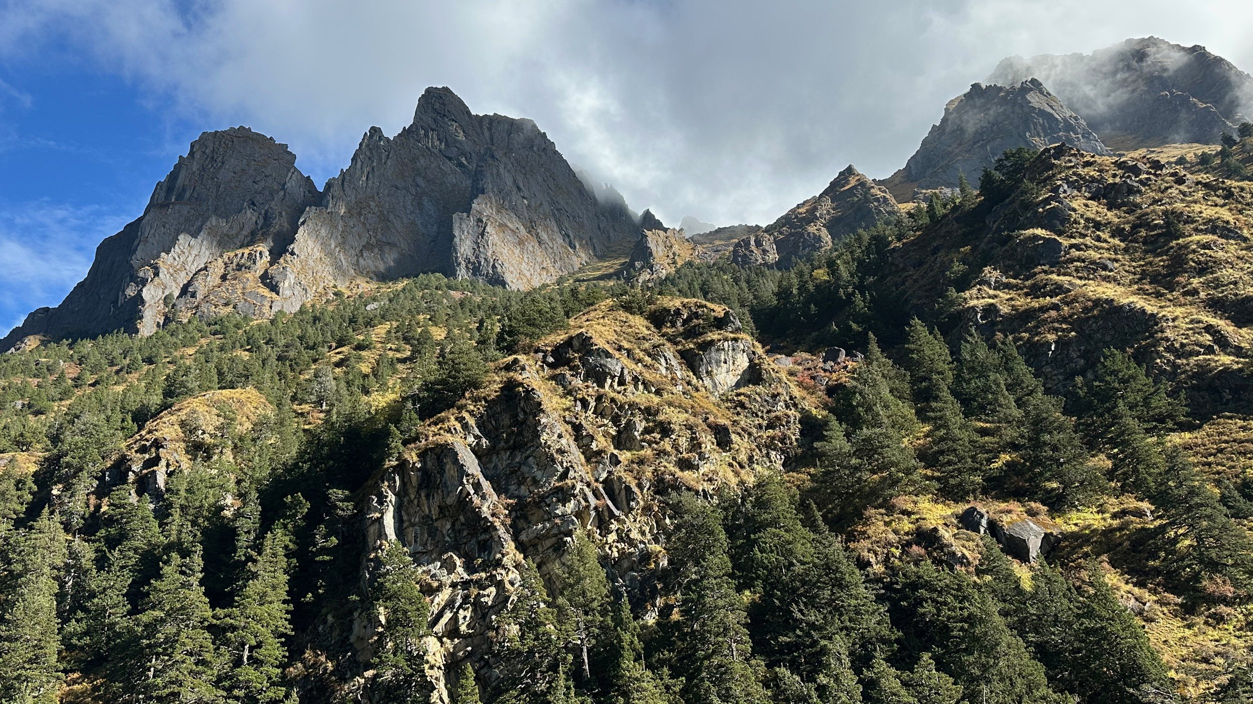
Strange rock formations on the trail between Limithang and Laya village.
Tiger Mountain 6840m
On the way to Laya.
Laya village
Mt. Tsenda Gang 6990 from Laya
Mt. Tsenda Gang seen from Laya
Laya village
A temple in Laya village
Laya boarding school
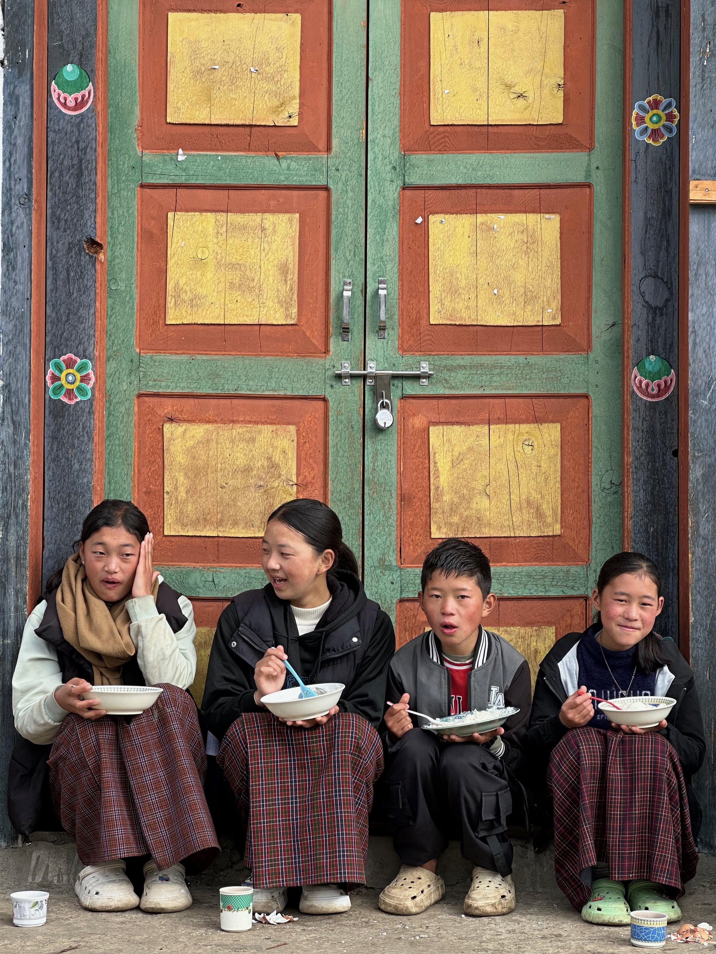
Students in Laya school
Laya school
Delivery to the Laya shopping street
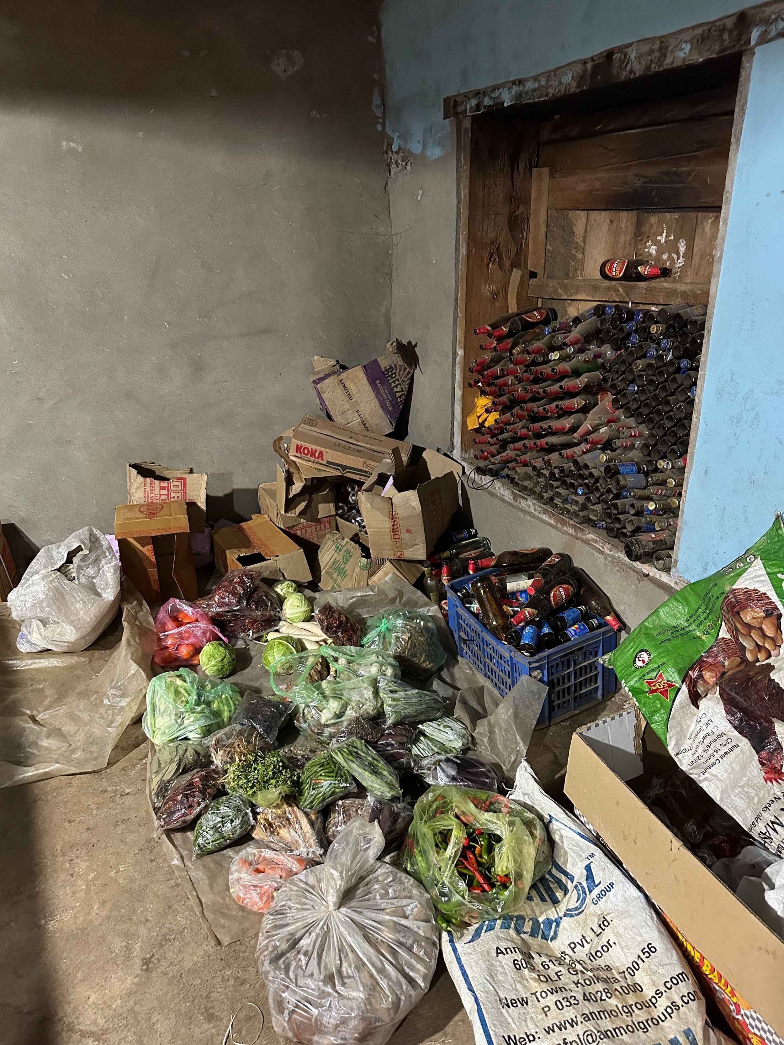
Local shop - produce section
In Laya
Friendly Laya
Fun with the Laya people!
Traditional bamboo hat from Laya
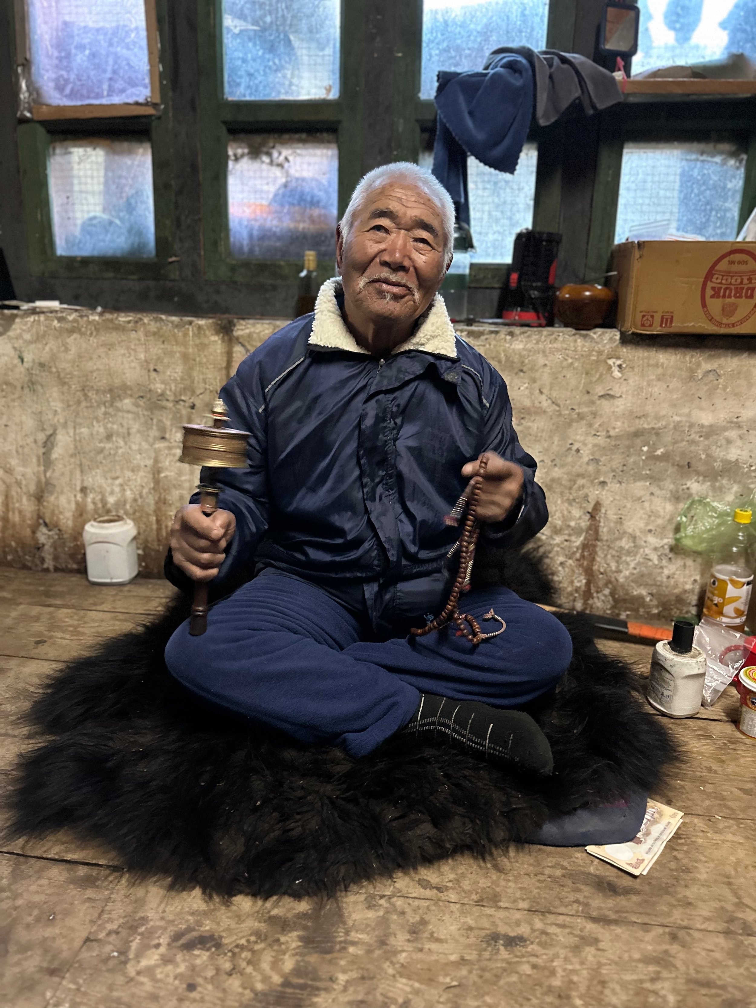
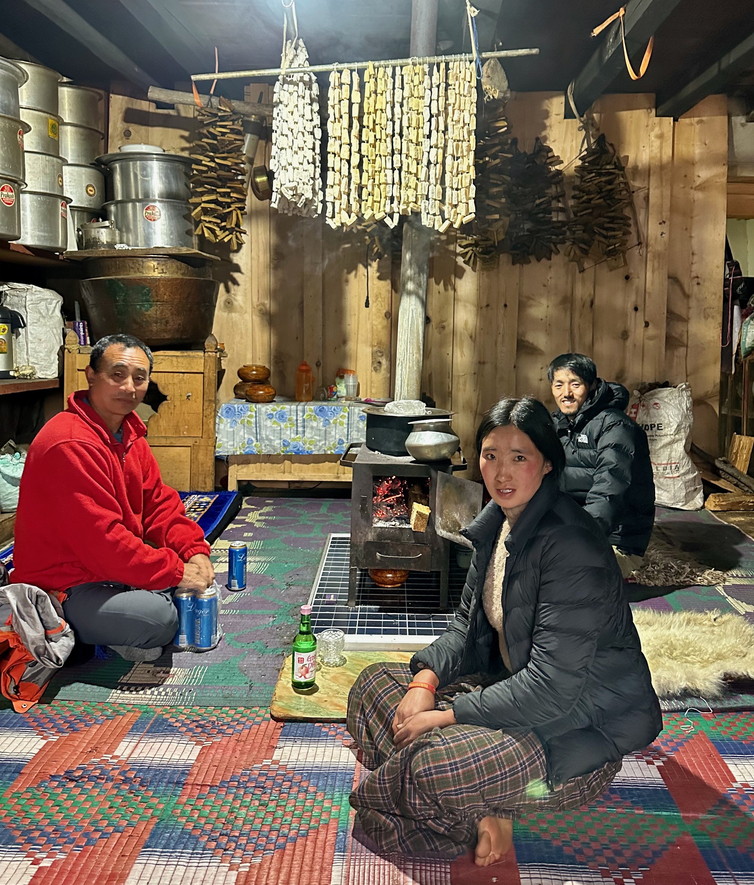
In a house in Laya with our guide and his friend. The white cubes above the stove are dried hard yak cheese.
In our guide’s friend’s house in Laya
Friendly Laya
Yak herders in Laya
