During the COVID shutdowns I had doubts whether I would ever visit Nepal again which was rather depressing. One of the regrets I had, was not doing a helicopter tour of the Khumbu area. Helicopter flyovers provide a completely different perspective from climbing or trekking and provide fantastic opportunities for mountain photography.
Thankfully, the COVID shutdowns relaxed and I could again travel to Nepal in 2022. The Khumbu was not busy and definitely not at tourist levels as pre-Covid. Thanks to Rajendra from Mountain Sun Valley, I was able to do the helicopter flight. When I contemplated doing this, I had a very specific route in mind which surprisengly was not easy to organize. Normally, the helicopter flyovers focus on Everest and Everest BC but I was interested in the area of the Nangpa Glacier and along the West Khumbu bordering Rowaling Valley. I also wanted to fly along the Cho Oyu - Pumori wall. We later covered the entire helicopter route on foot.
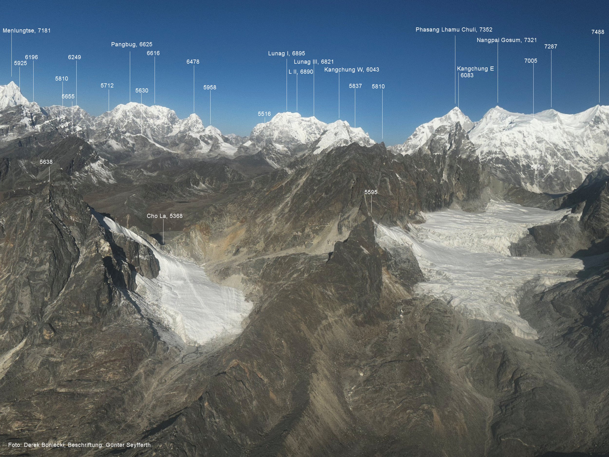
You can see the annotated photos here: www.himalaya-info.org/Khumbu_Helicopter.htm

The flight route. Map curtesy of: www.himalaya-info.org/Khumbu_Helicopter.htm

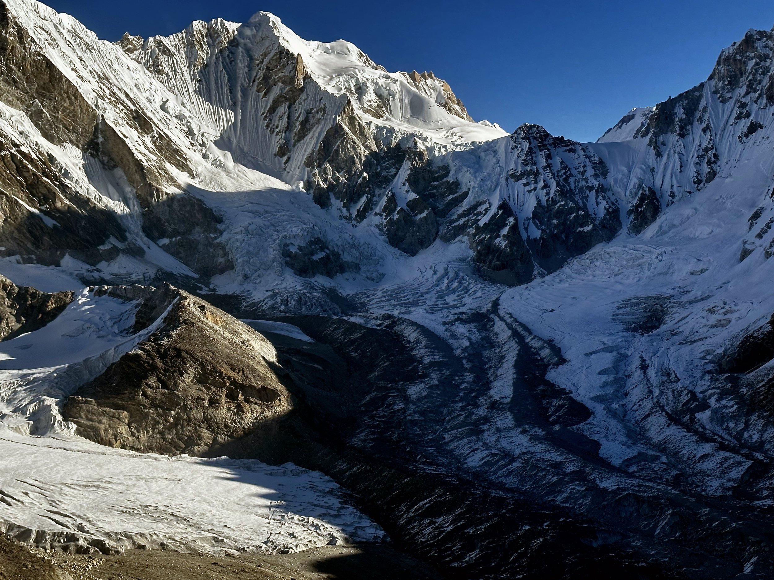
Moving up the Thame Valley towards the confluence of the Bhore Glacier and Lumsumna Glacier. The tall point mountain is Lunag 1 6907. The mountain behind Lunag is Nzacampa 6797m. Nangpa La is visible on the right.

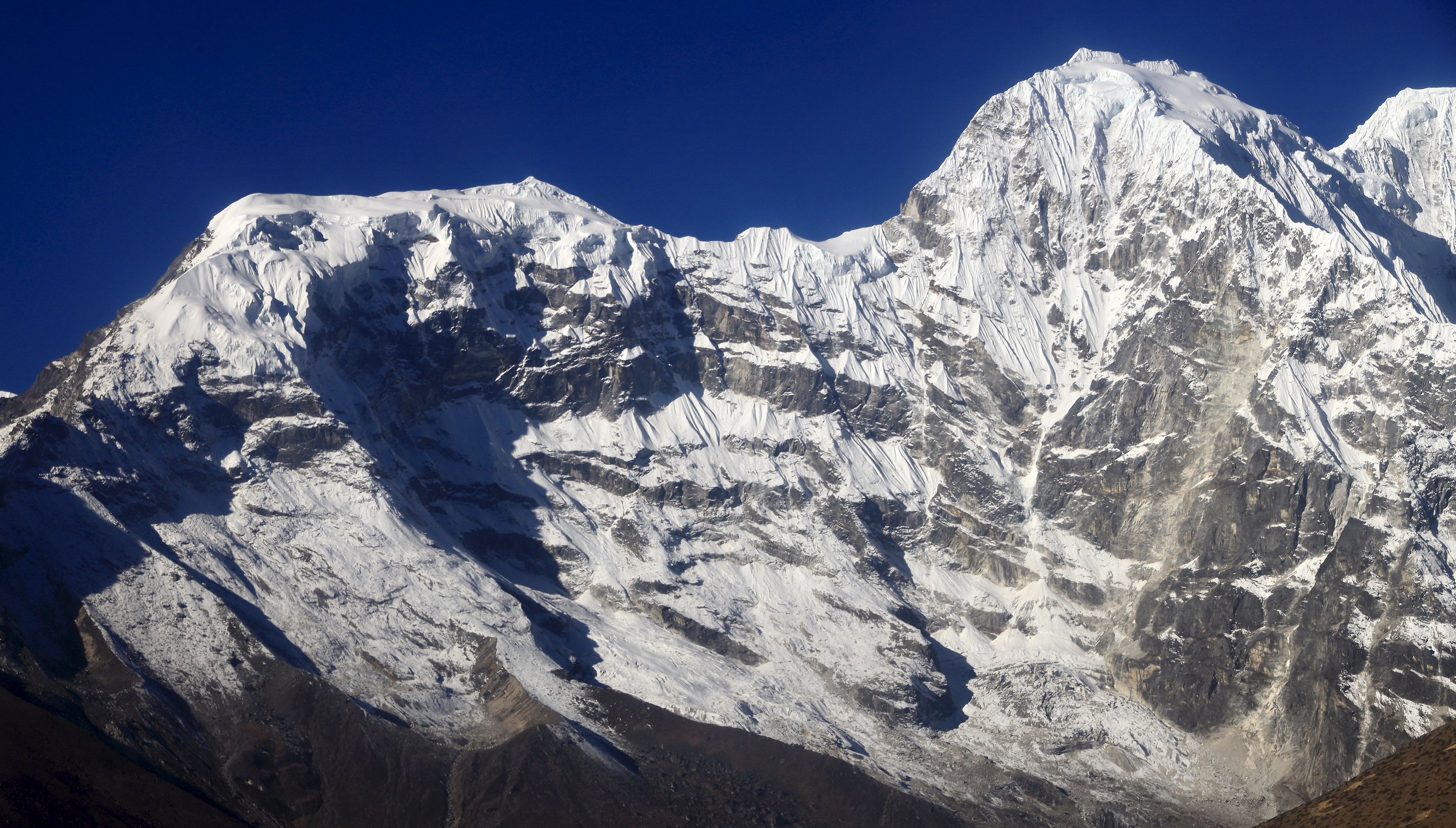
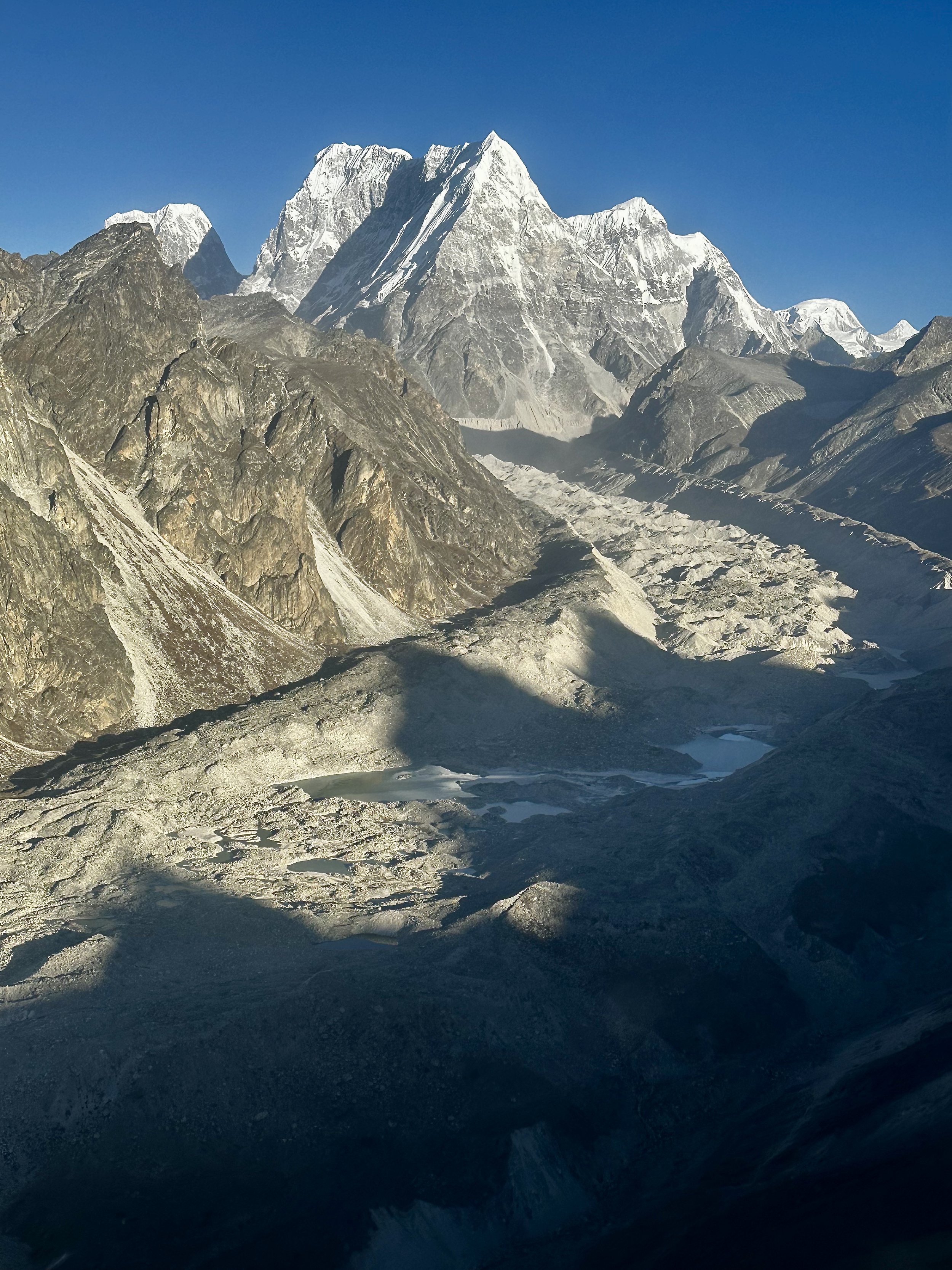
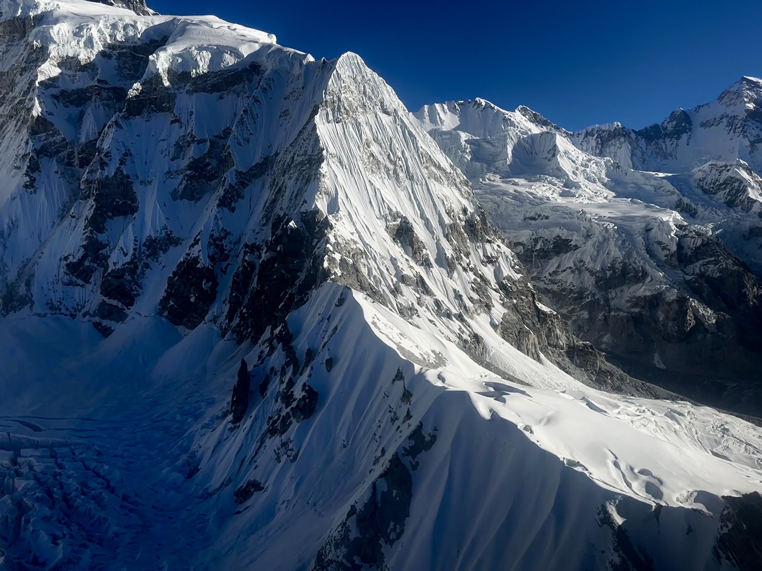
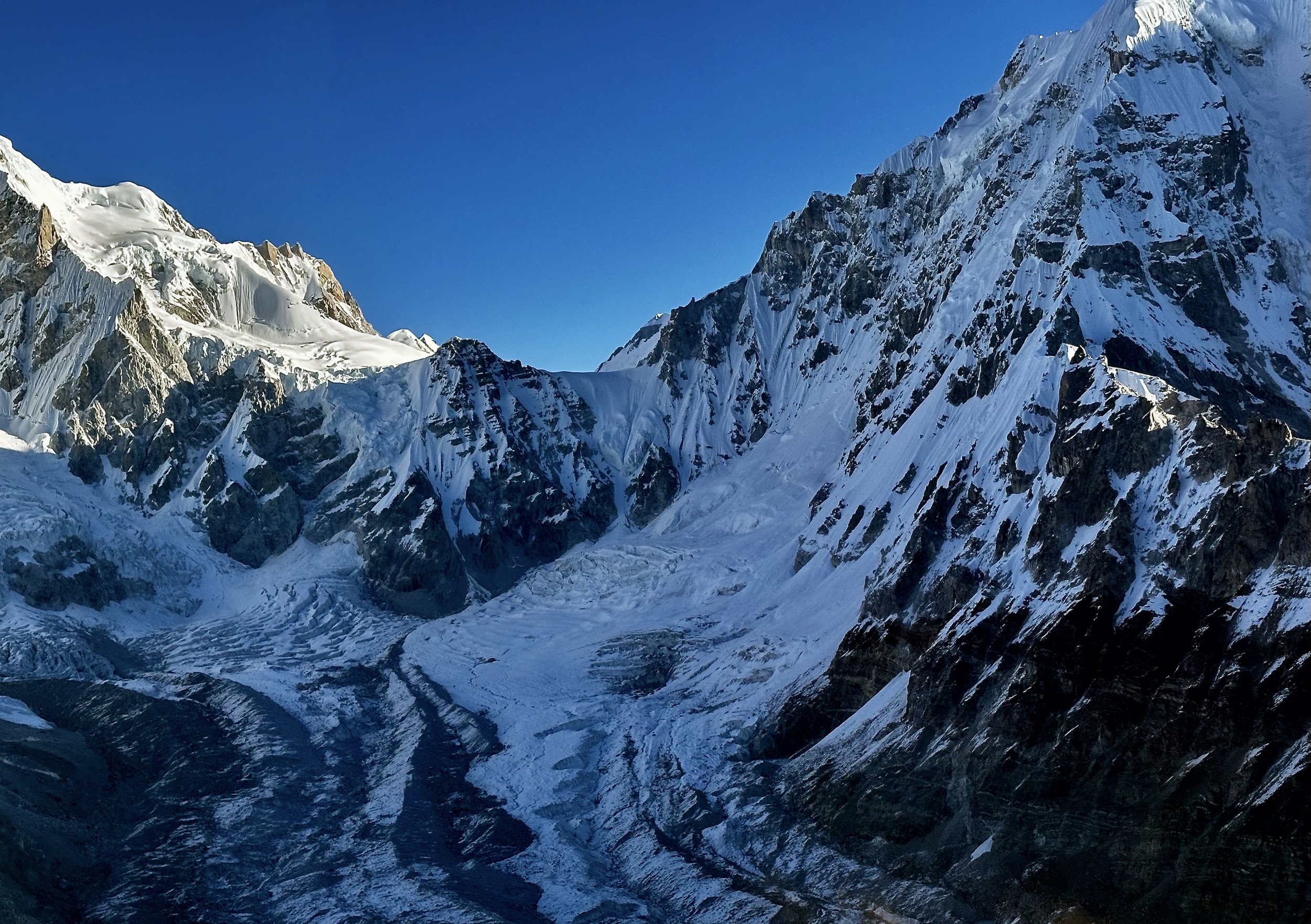
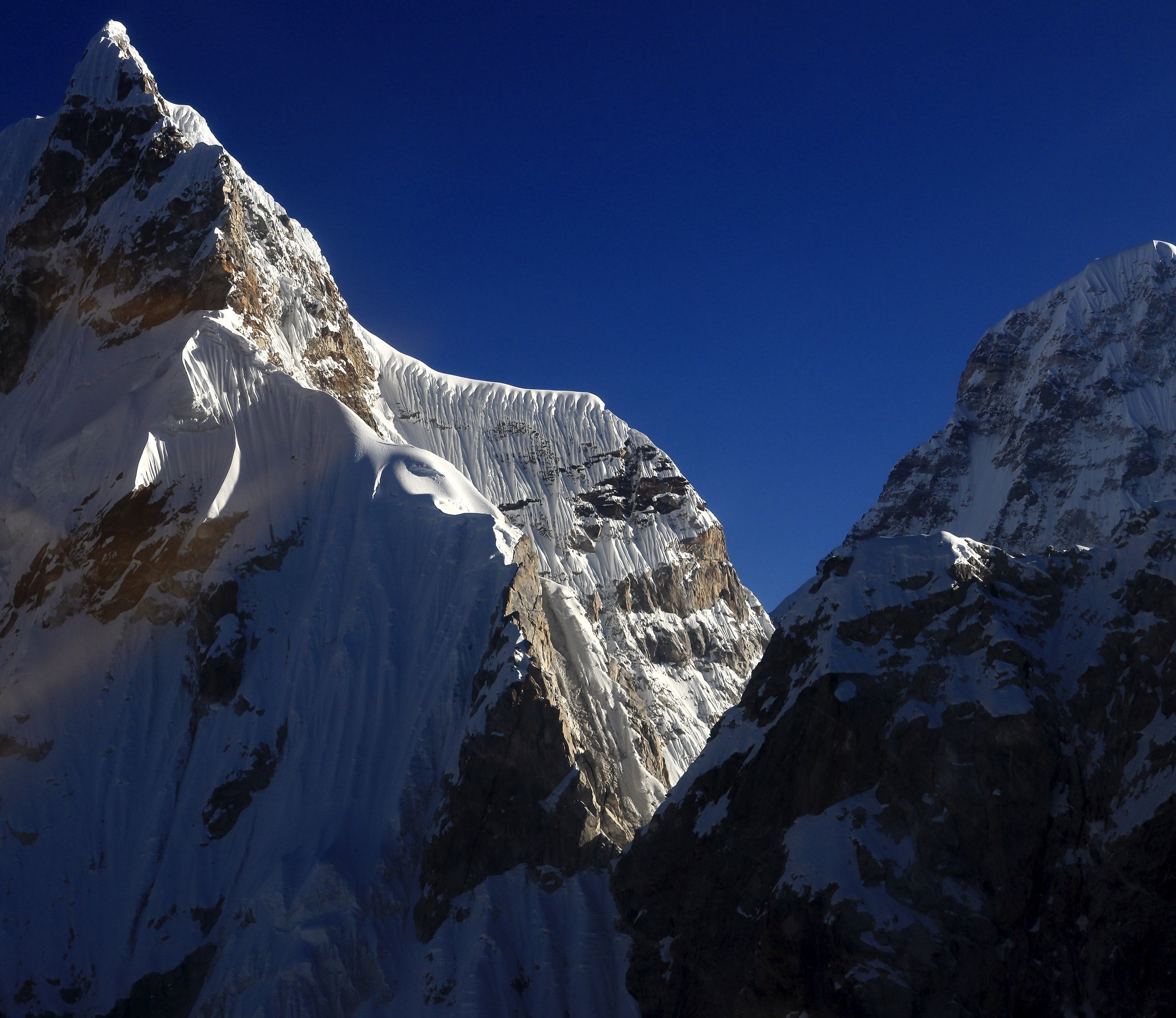
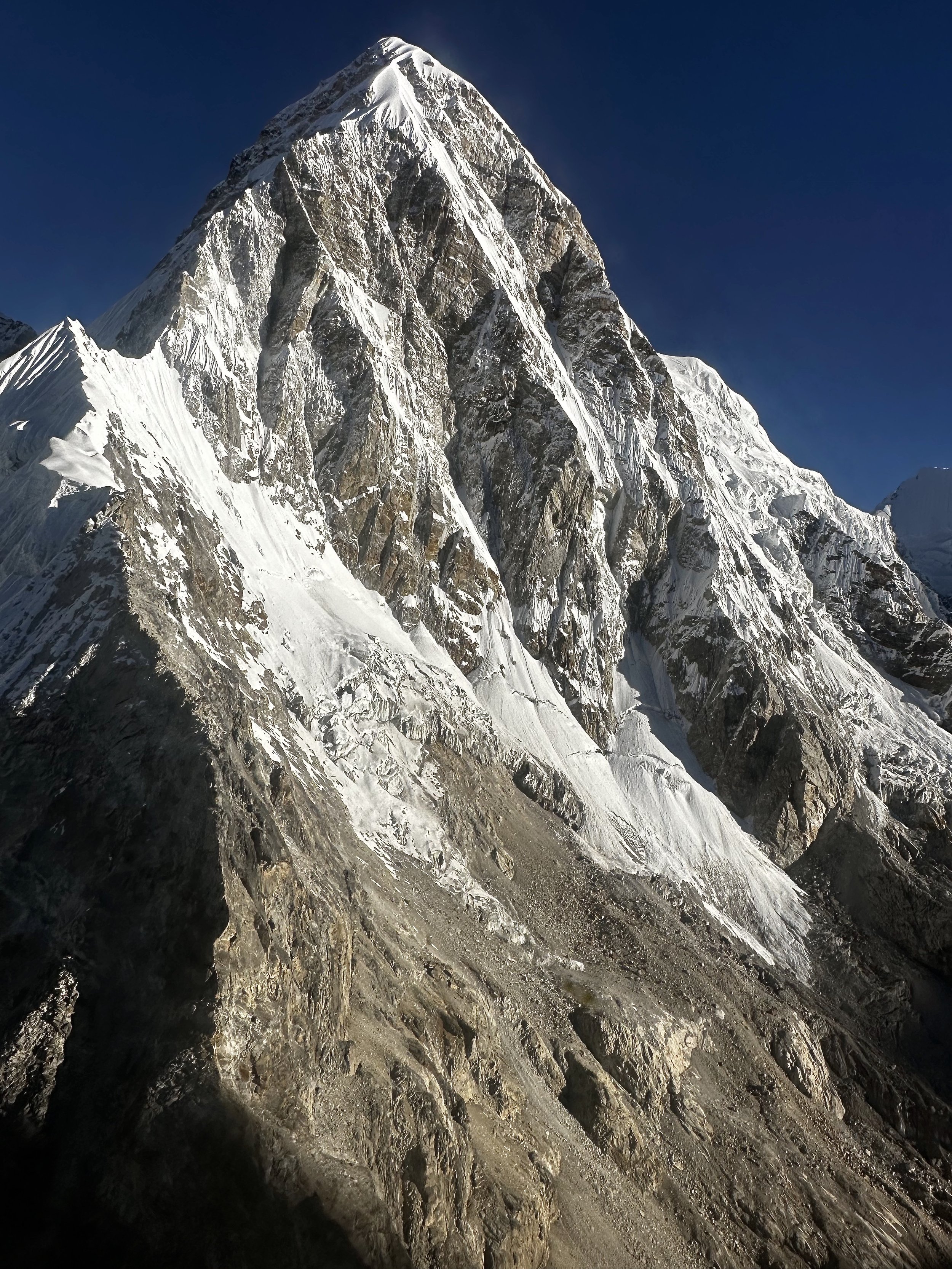
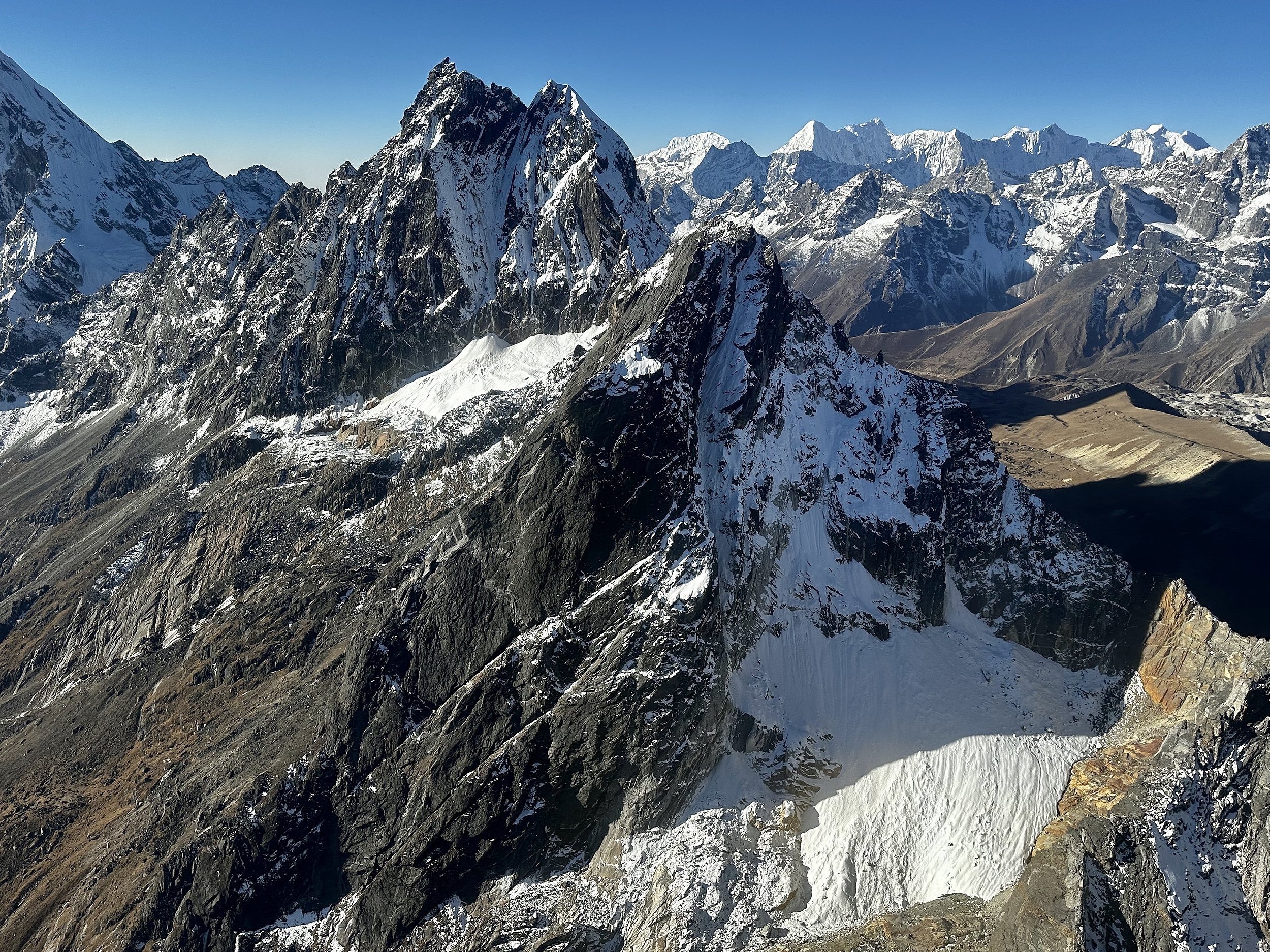
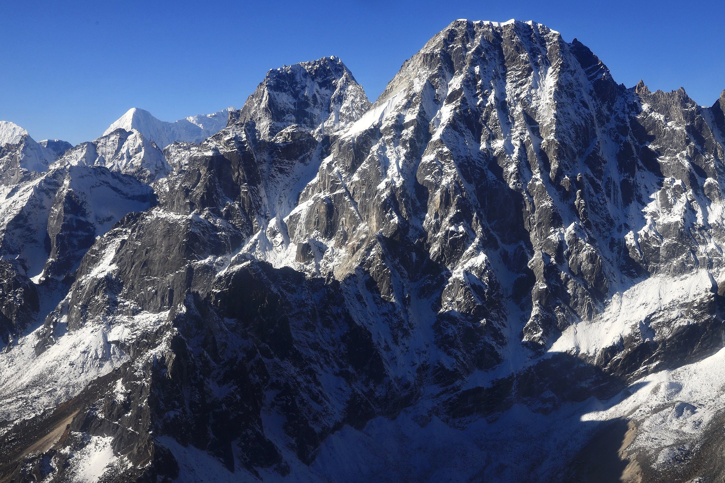
Tengi Ragi Tau from the east

Tengi Ragi Tau

Tengi Ragi Tau


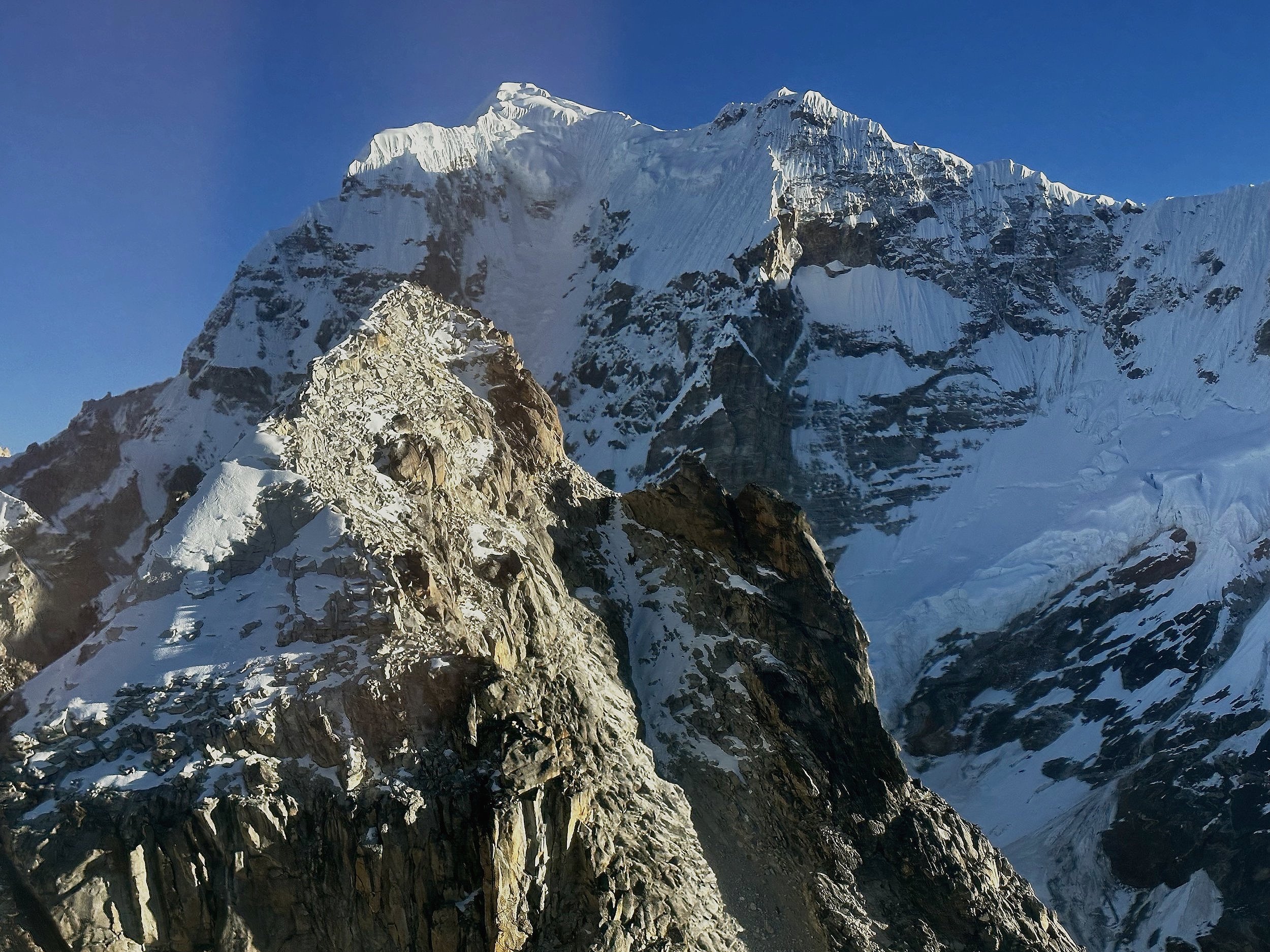
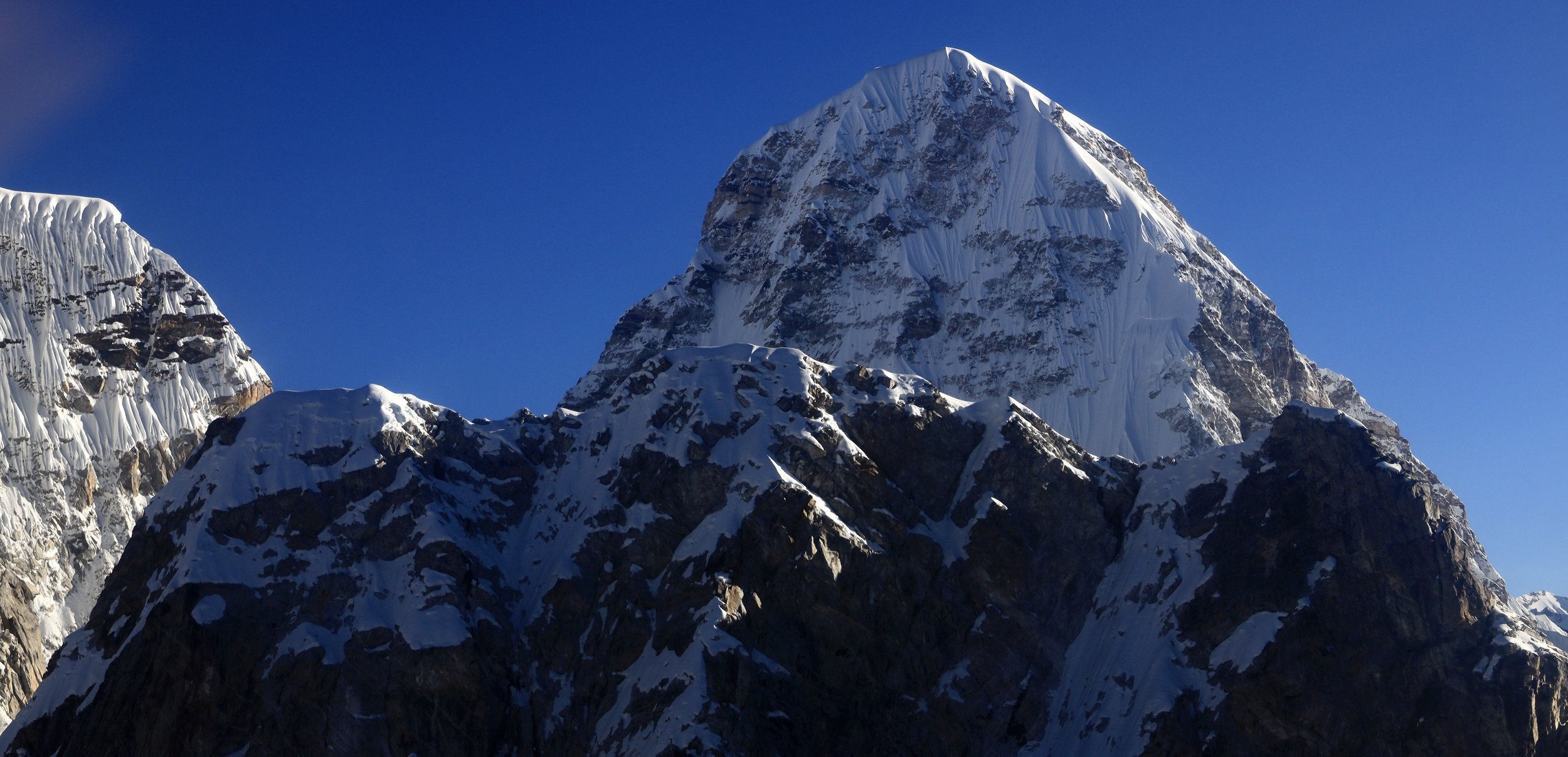
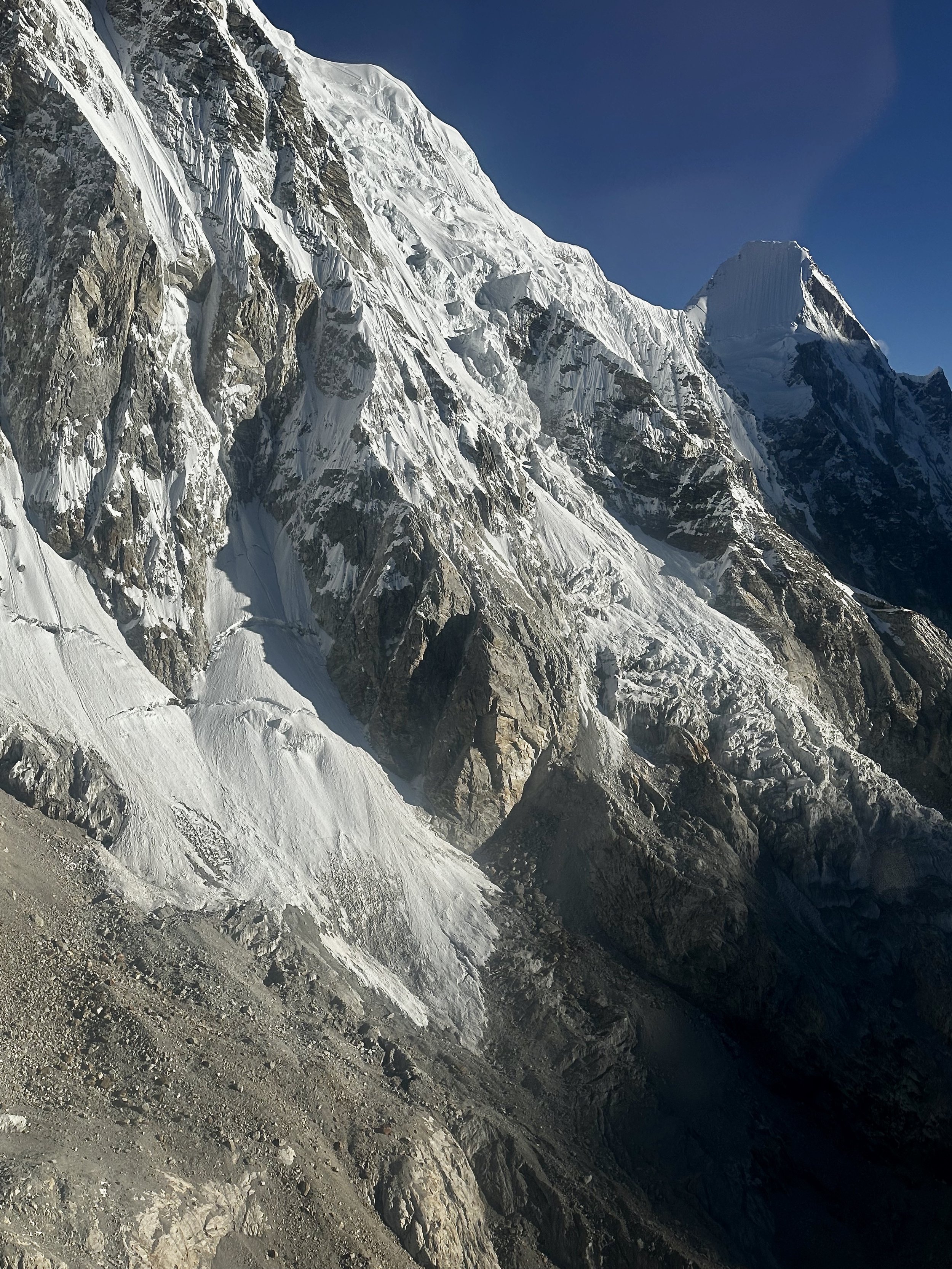
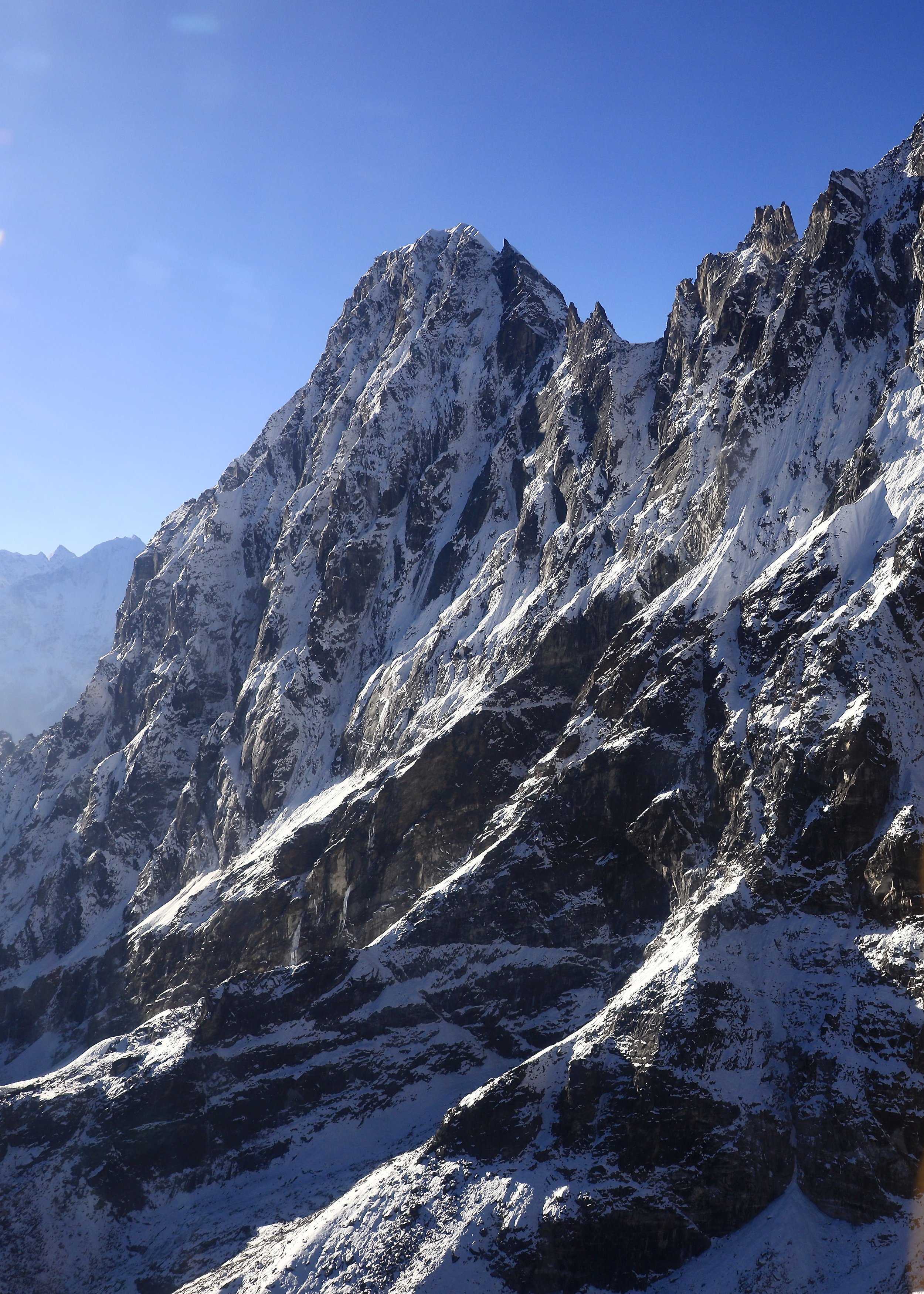
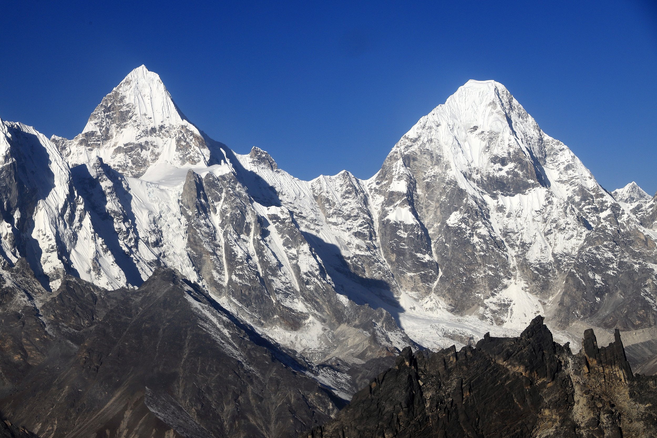
Dragnag Ri 6757m

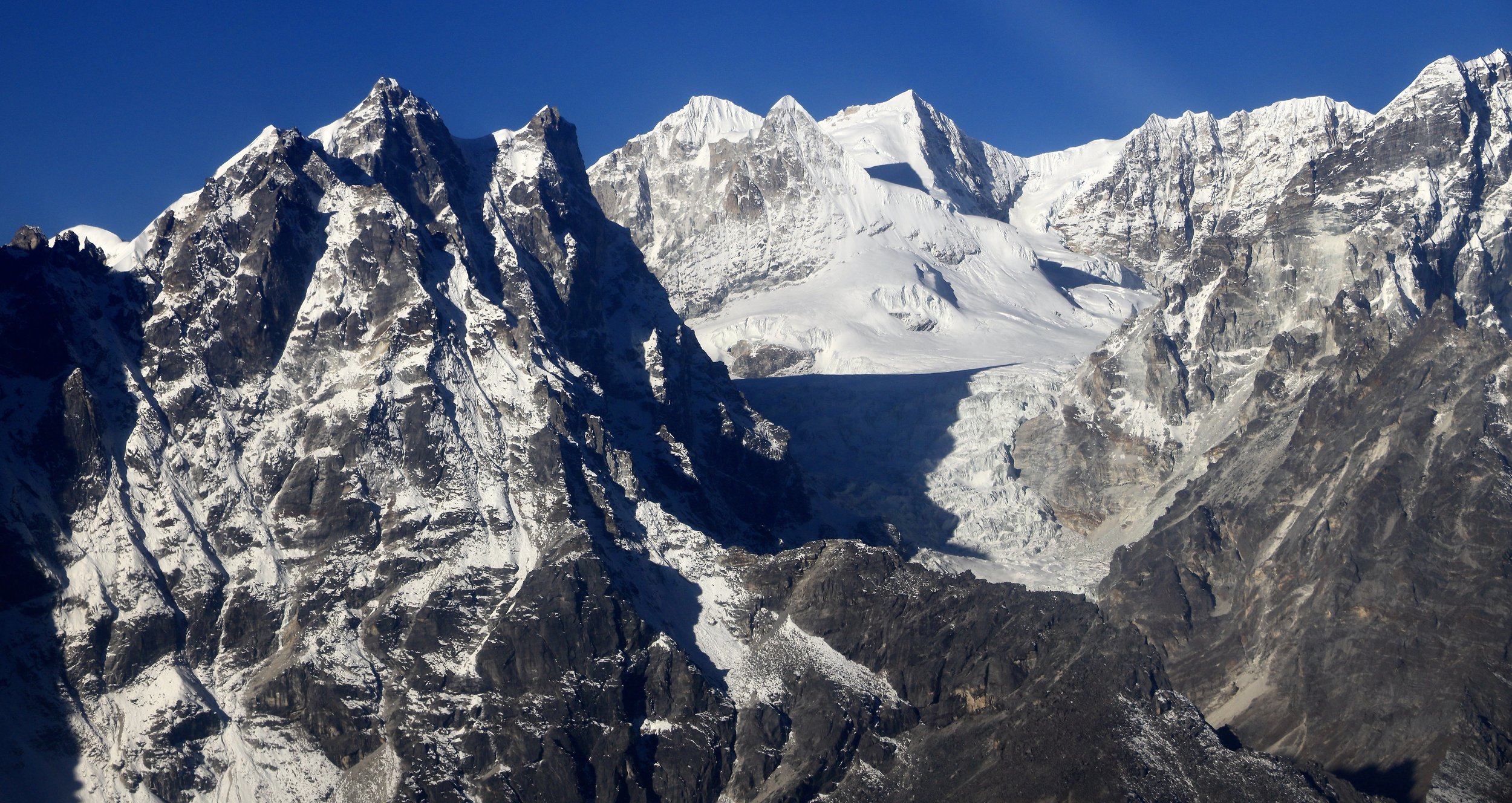
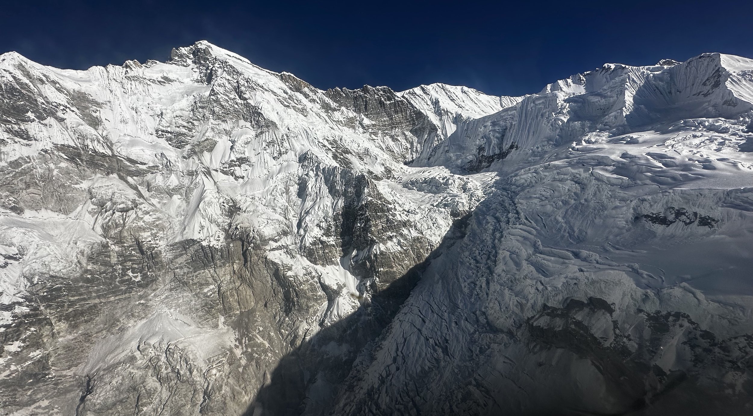
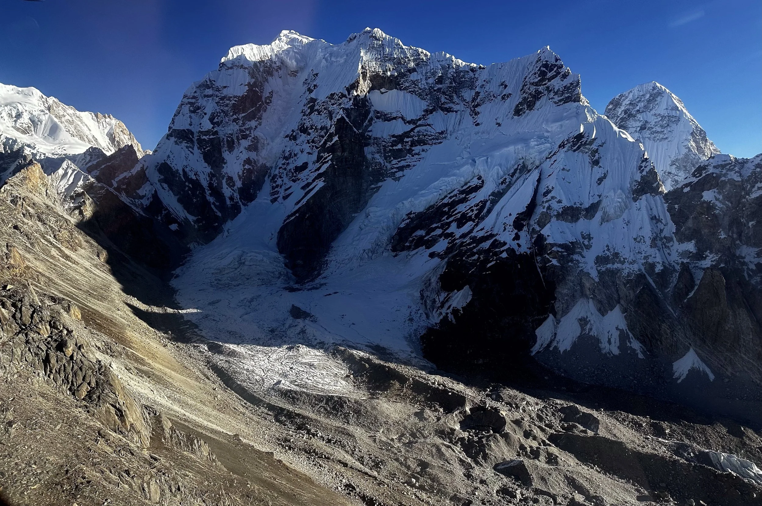
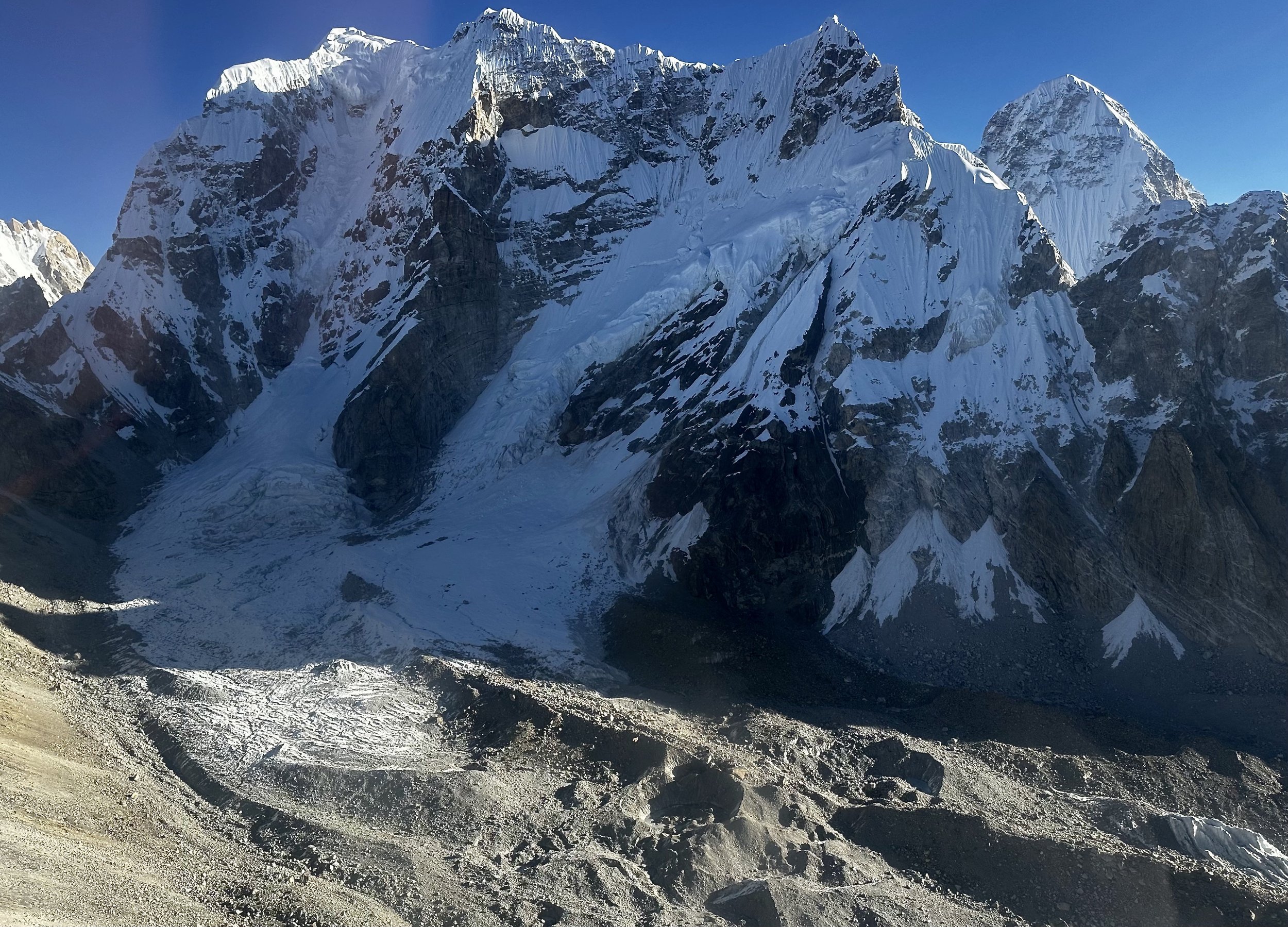
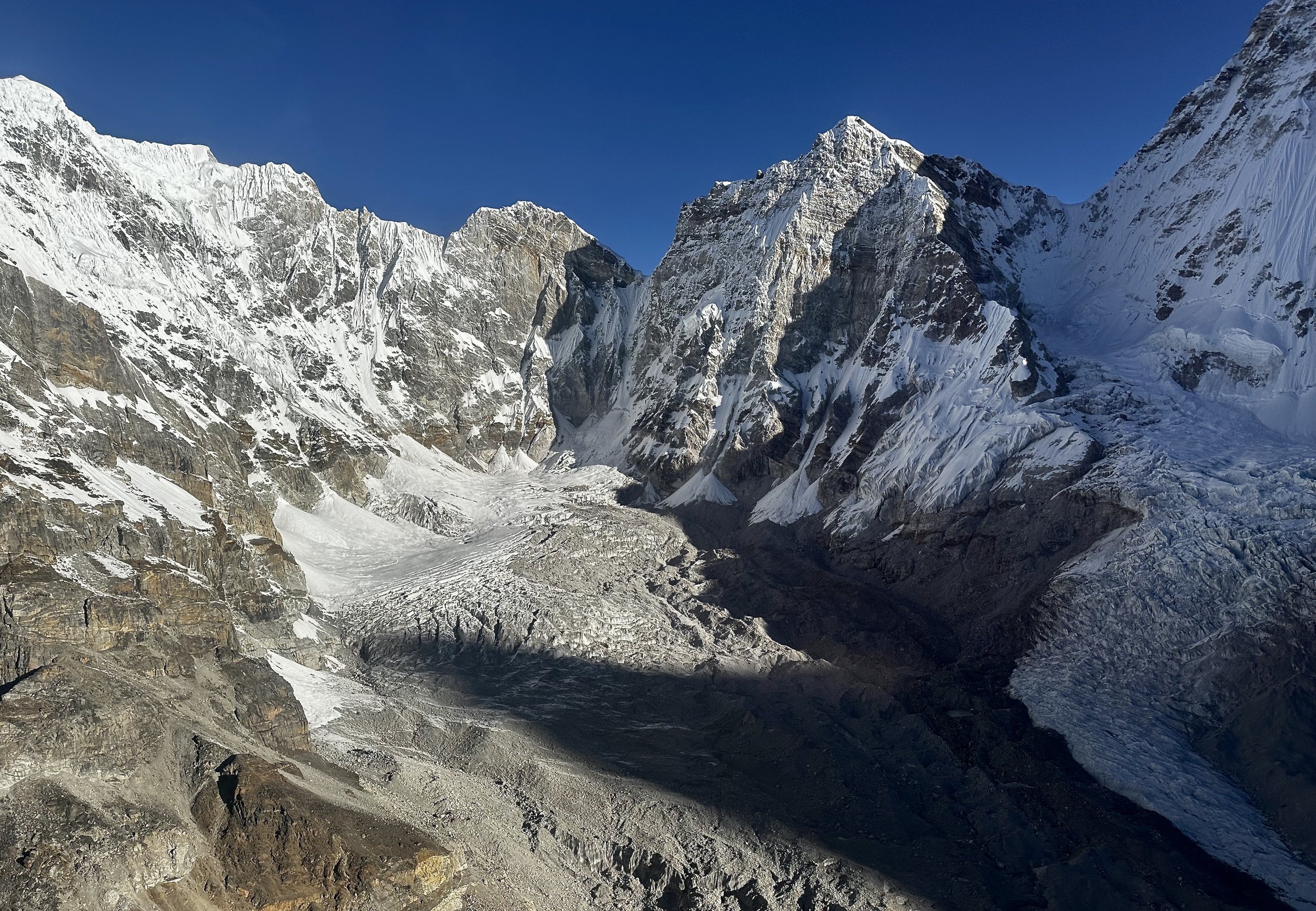
On the left is Khang Karpo 6646m. Chule Glacier and Menlung Glacier.
Lunag Glacier and Mahalangur Himal. The pointy mountain is Lunag 1.

Lunag 1 (on the right)

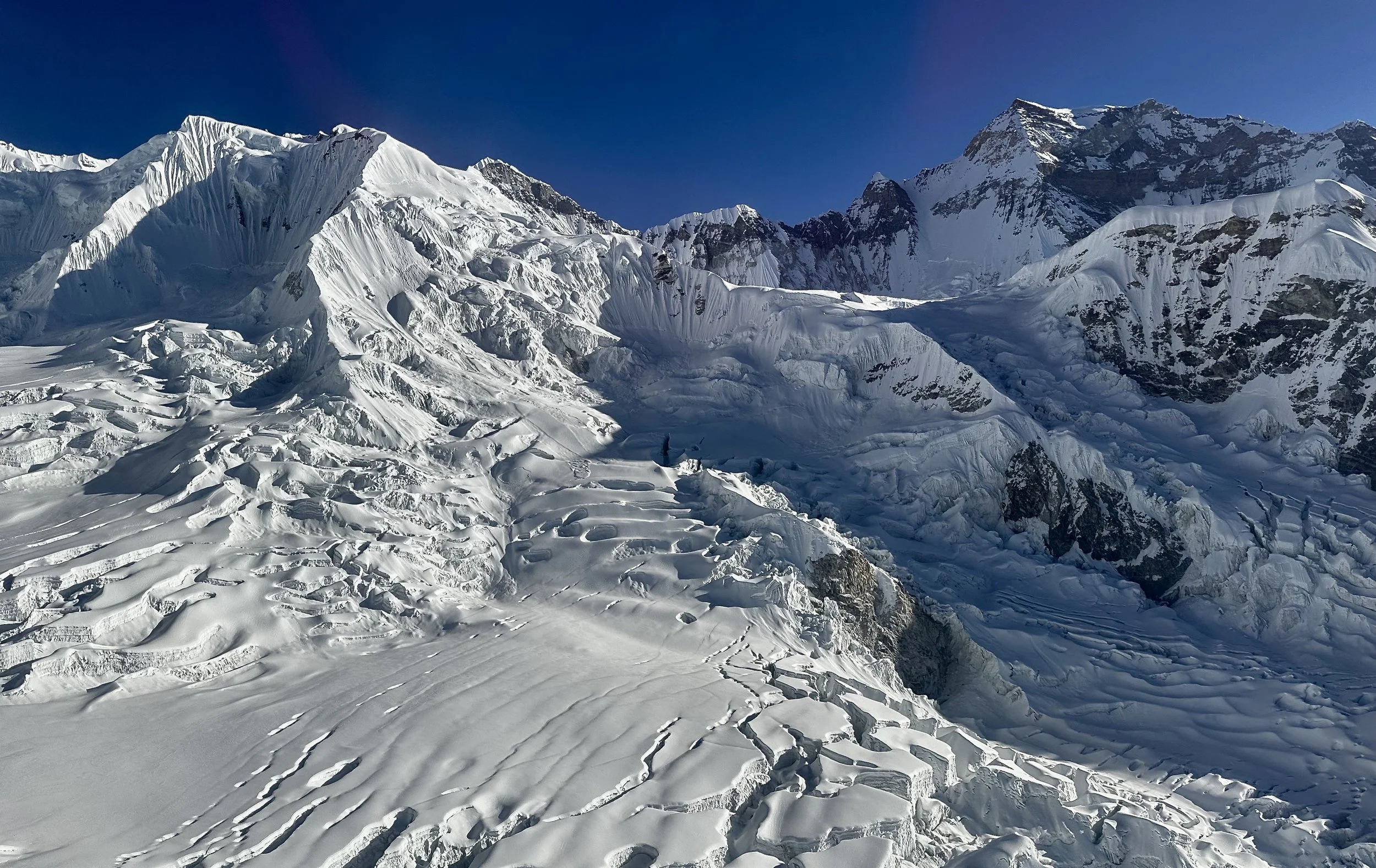
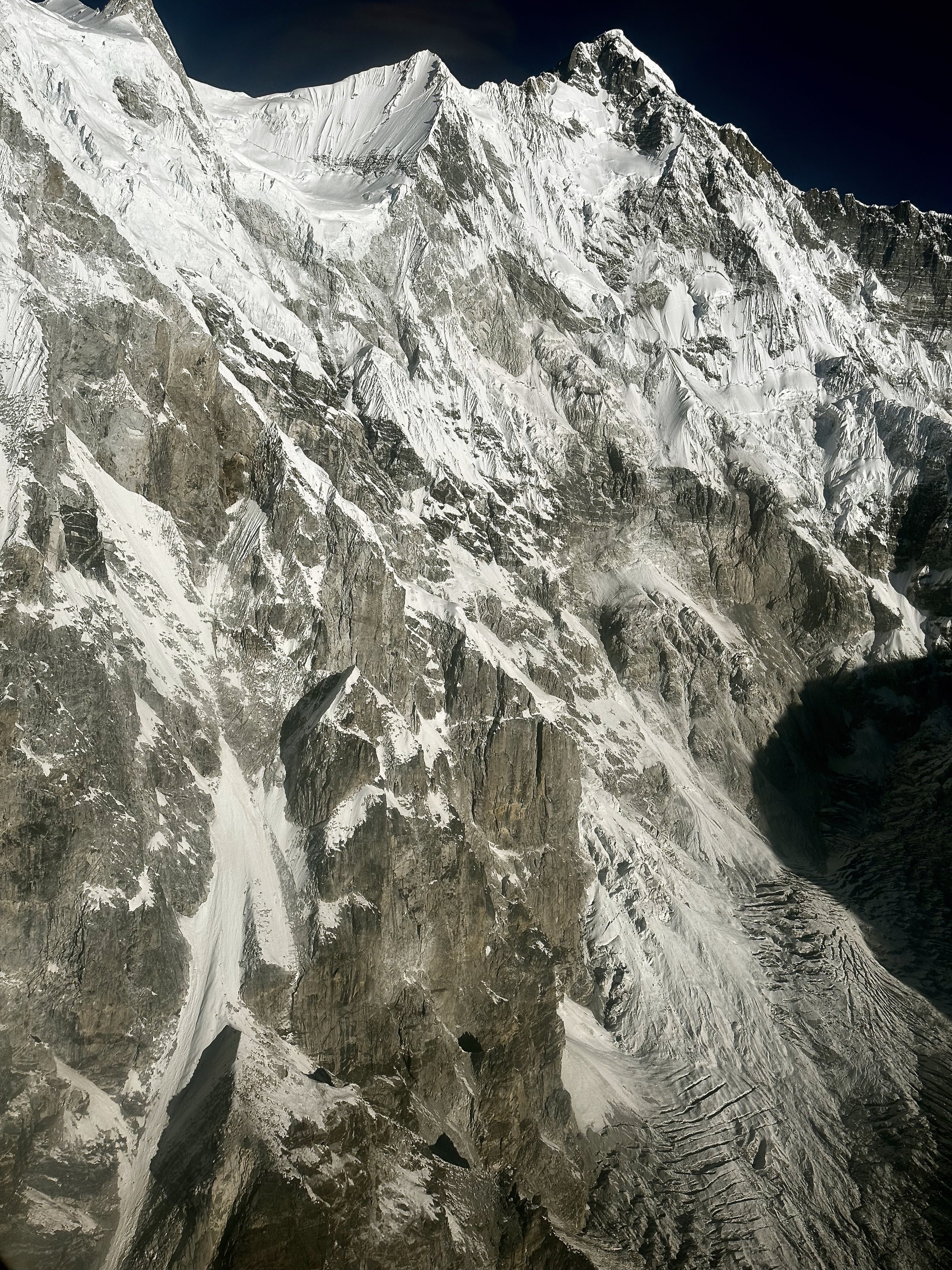
Awesome rock towers along the Nangpa Glacier

Khang Karpo 6646m
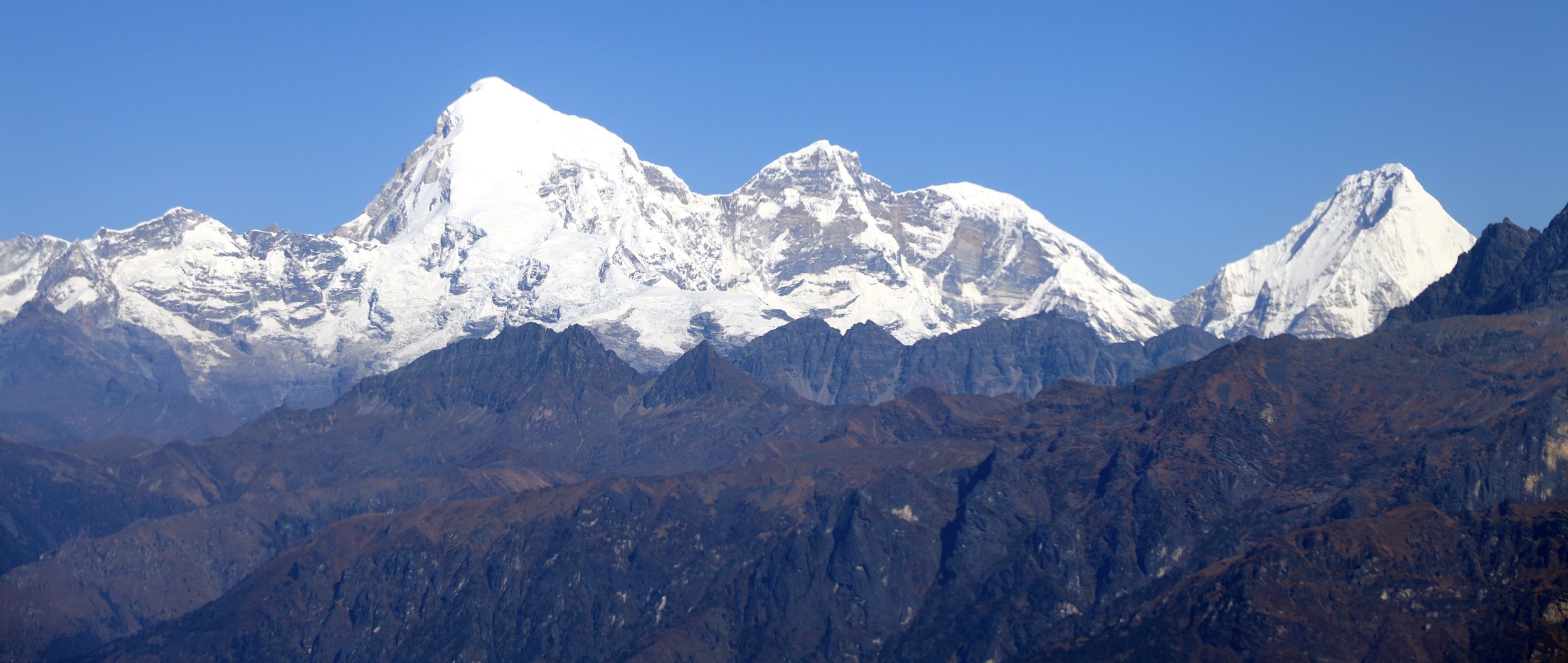
Jasemba (left 7350m), Chamar 7287m (centre) and Cho Oyu 8201m (pointy black peak on the right)


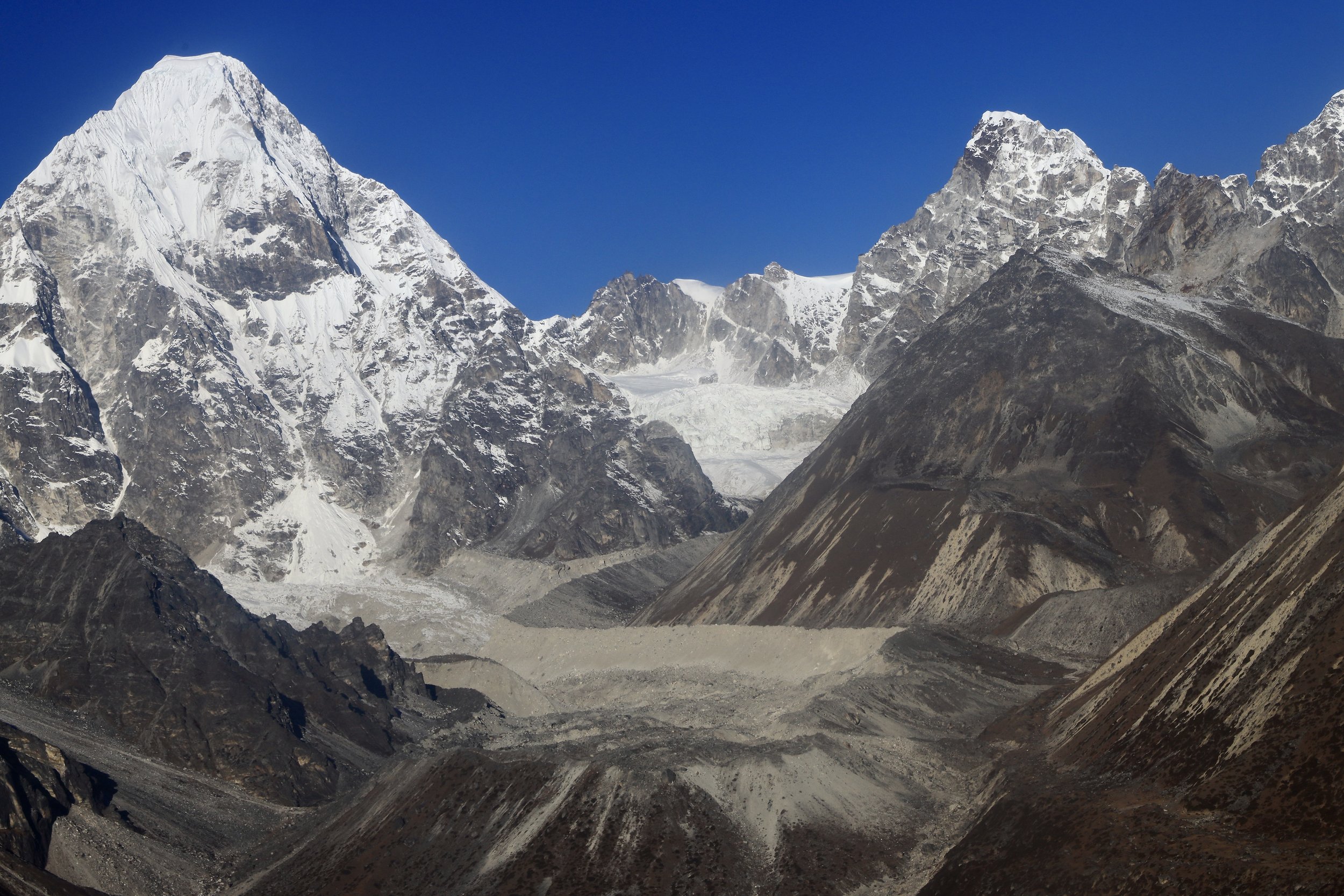
Lunak Glacier and Jobo Lecoultre 6,590m. The peak in centre left is Pangbuk 6750m.
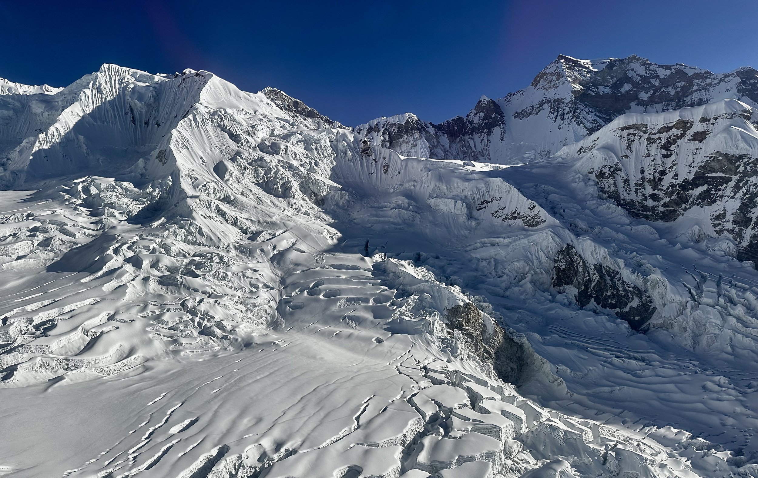
Confluence of the Nangpa Glacier and Lumsumna Glacier. The basecamp of Sumna Pass is in the shadow on the right.

Lumsumna Glacier, Jasemba and Cho Oyu
Bhole Koshi Glacier, Lunag 1 and Little Lunag.

Chamar and Cho Oyu 8201m

Jasemba and Chamar
Chamar 7287m

Jasemba, Chamar and Cho Oyu

Jasemba
Jasemba 7350m (on the right)
Mahalangur Himal on the left and Jasemba on the right


Jasemba

Chamar 7287m and top of Cho Oyu on the right
The pointy ridge end is 5802m high. It is the start of the south summit ridge of Cho Oyu.

Lower section of the south side of Cho Oyu (Nepal side).

Massive south wall of Cho Oyu. This is the winter assent route of the Polish (Kukuczka).

South side of Cho Oyu (left).
Cho Oyu south wall - Polish winter ascend route.

Cho Oyu south wall
South side of Cho Oyu. The mountain on the right is Ngo Jumba Kan 7664m.

We gained some altitude and are now at 21000 feet. The mountain on the right is Gyachungkang 7922m.

Gyachungkang 7922m
Gyachungkang on the left, West Rongbuk Glacier and Chakung on the right (lower part of it)

Gyachungkang 7,952m


Chakung 7029

Chakung 7,029 on the left and Chumbu 6859m on the right
Chakung 7029 on the left/centre. Upper section of the Gaunara Glacier.
Gaunara Glacier and Chumbu 6859m

Chakung 7029m and Gaunara Glacier

Chakung and upper Gaunara Glacier
Chumbu 6859m
Chongri Pass and Chumbu 6859m. Pumori can be seen on the right. The glacier is Changri Nup.
Chumbu
Pumori

Changri Pass
Chumbu and Pumori tower above Changri Nup Glacier

The rocky ridge of Chumbu. Pumori 7165m on the right. The glacier coming off Pumori is Changri Shar Glacier.

The wall of Chumbu
West aspect of Pumori
Changri Shar Glacier. Lower section of Pumori is on the right.

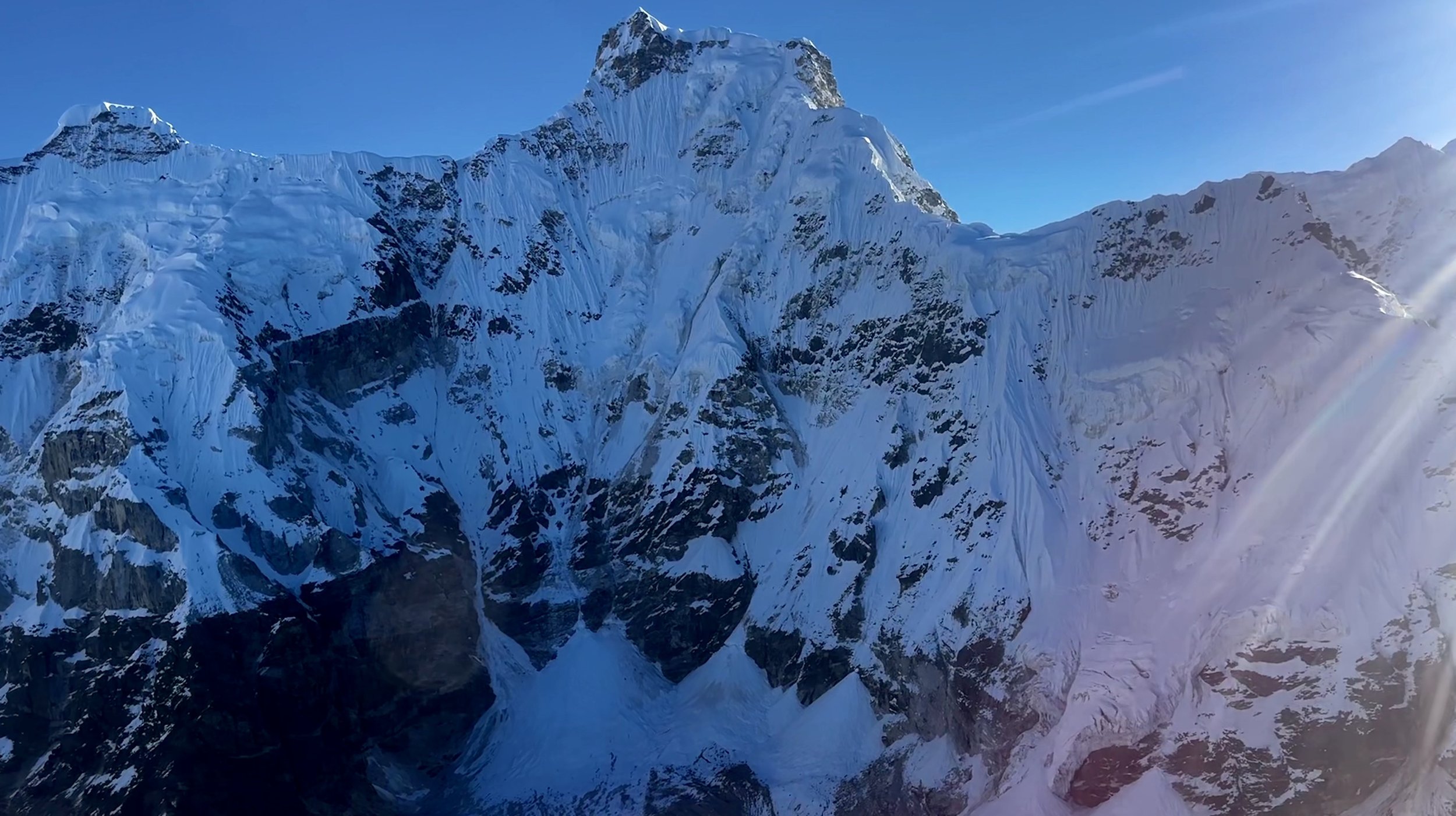
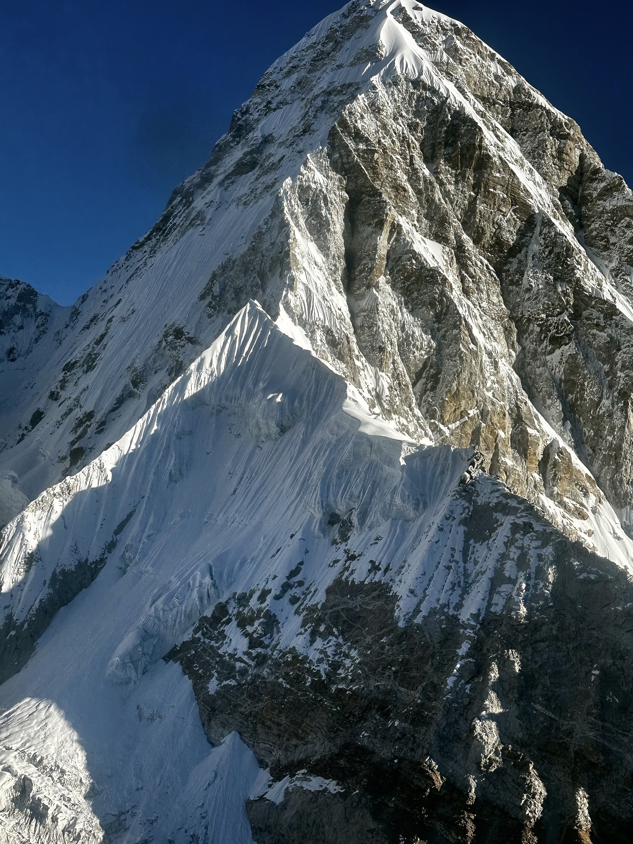
Pumori 7165m
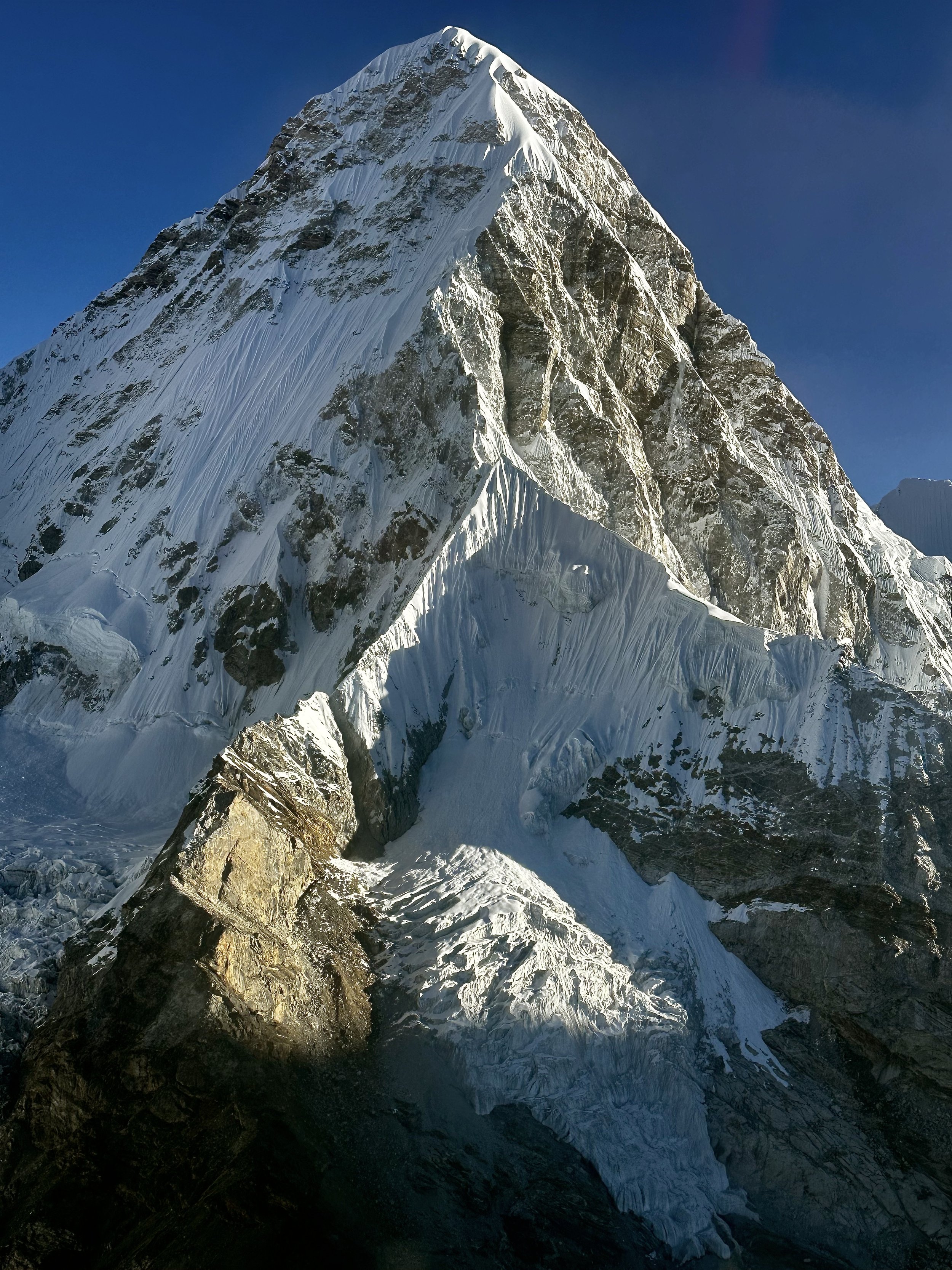
Pumori 7165m

East aspect of Chumbu and Changri Shar Glacier
The glacier between Chumbu (left) and Pumori (right)
Pumori
Pumori
Pumori (left) and Lingtren 6749m

Pumori 7165m

Pumori
The ridge of Pumori and Lingtren 6749m
Lingtren and Everest BC

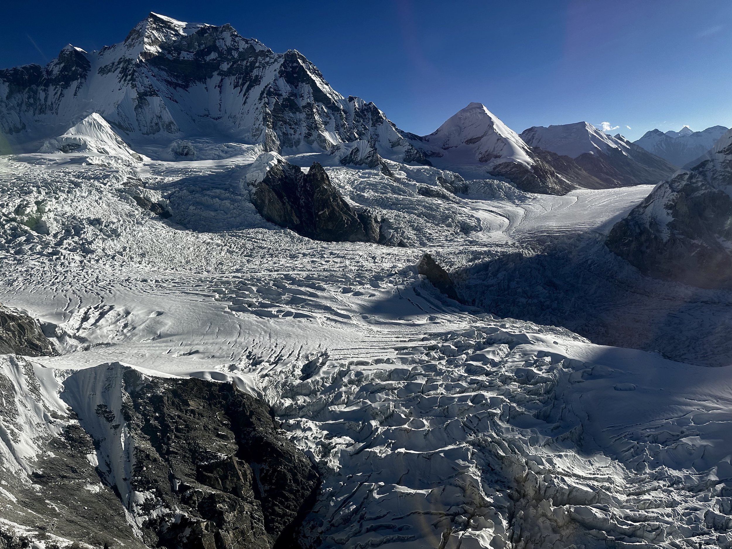
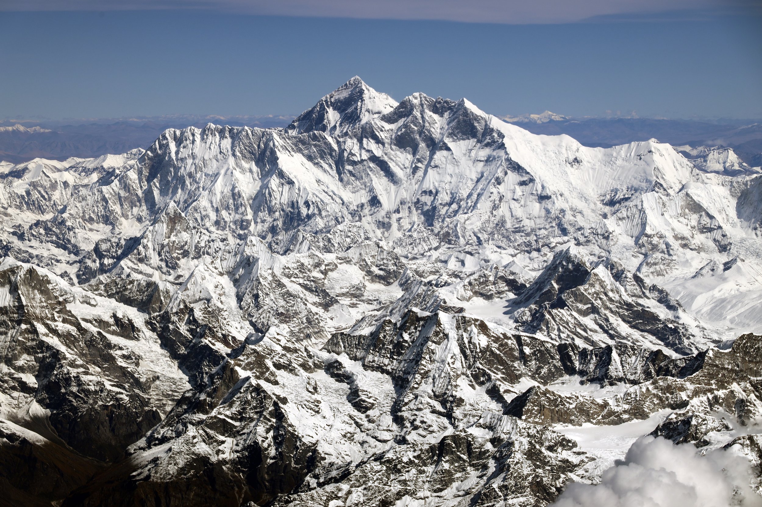
Everest, Everest Icefall, Lhotse and Nuptse - the giants of the Himalaya
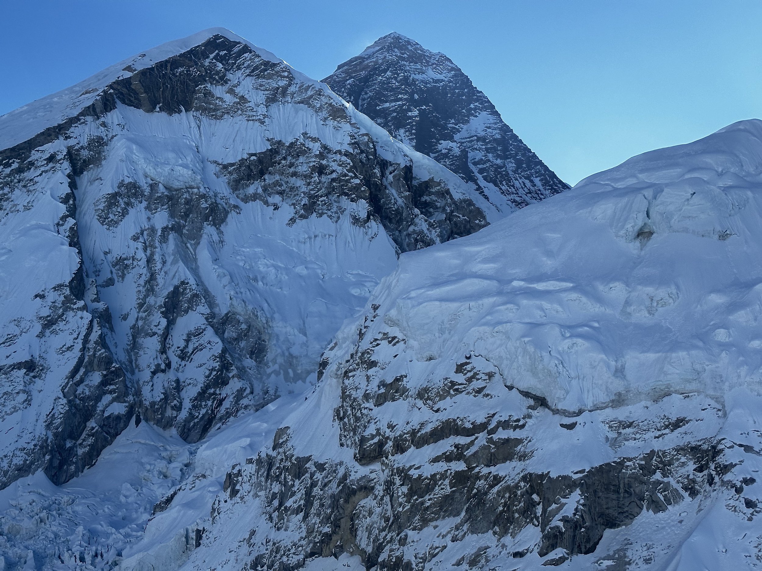
Mt. Everest
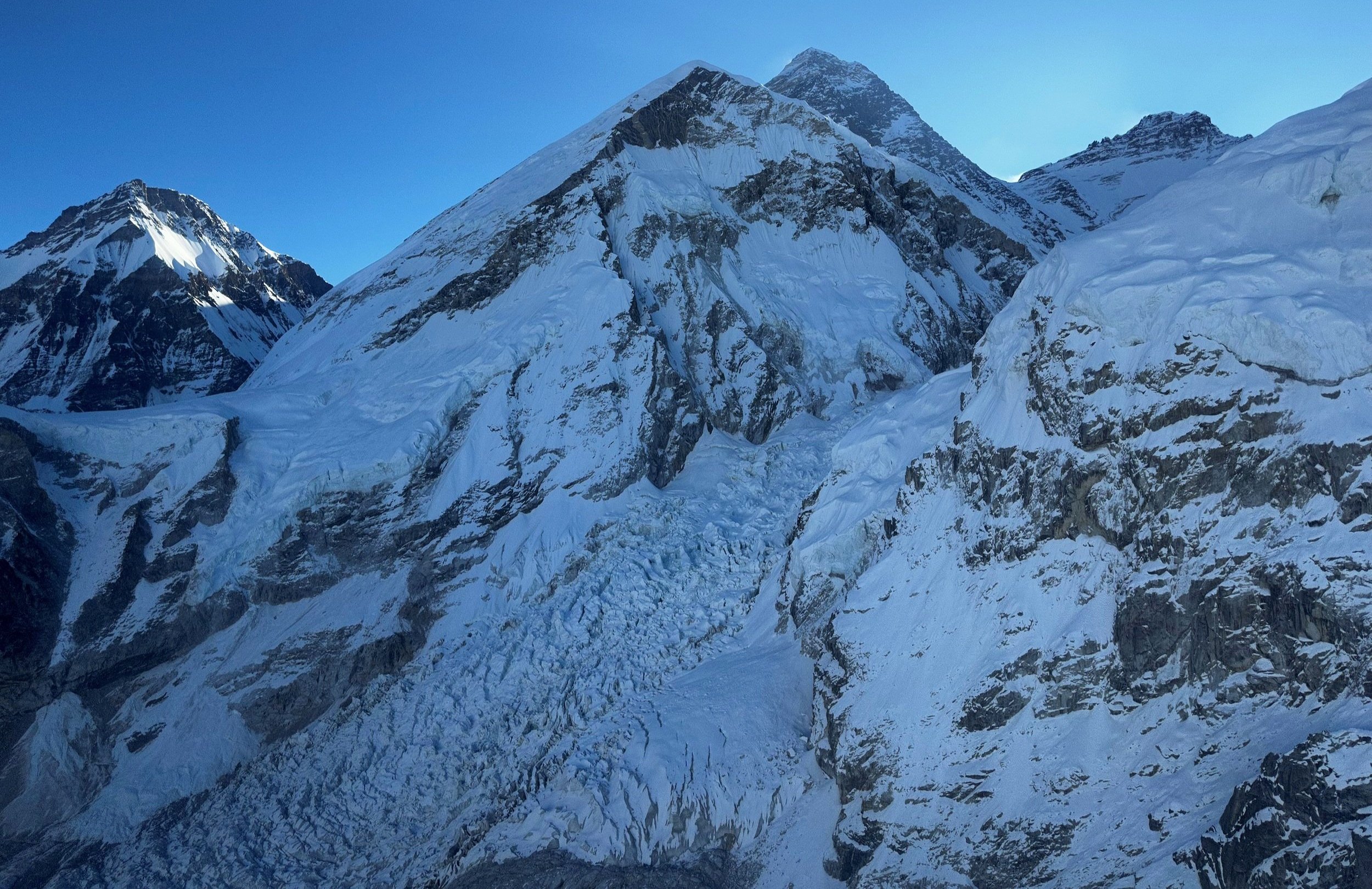
Everest icefall. Everest summit, south col and Lhotse are also visible.

Nuptse 7861m


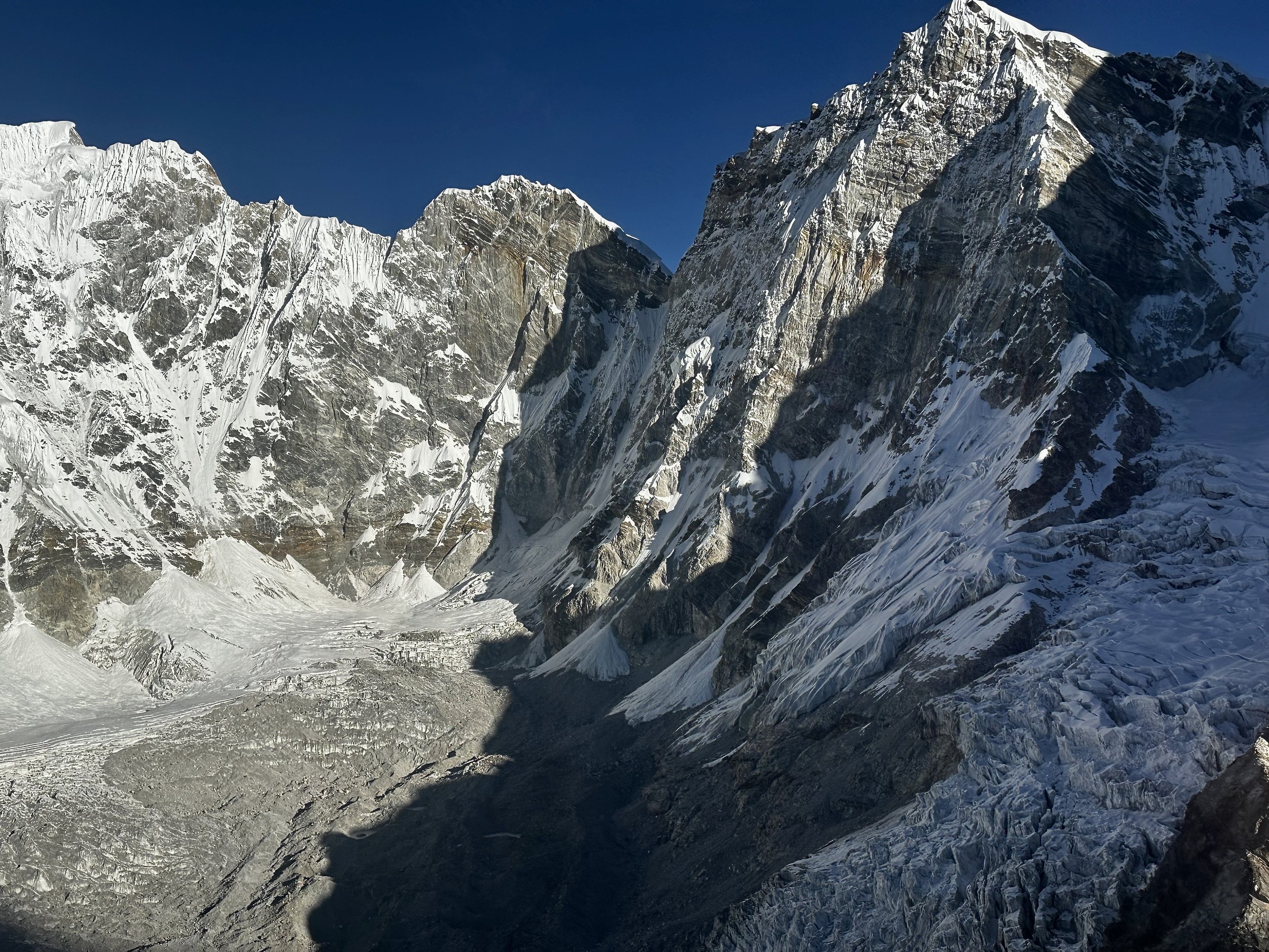
Taboche (left) 6367m, Cholatse (centre) 6335m and Lobuche East 6,119m
Renjo La (in the distance) and Chola Pass area

Chola Pass 5420m (the trail on the glacier is clearly visible).
Mountains to the south of Chola Pass

Cholatse and the trail down from Cho La Pass

Cholatse (left) and the rocky spires above the Cho La Pass

Looking north towards Jasemba and Cho Oyu from above the Cho La Pass

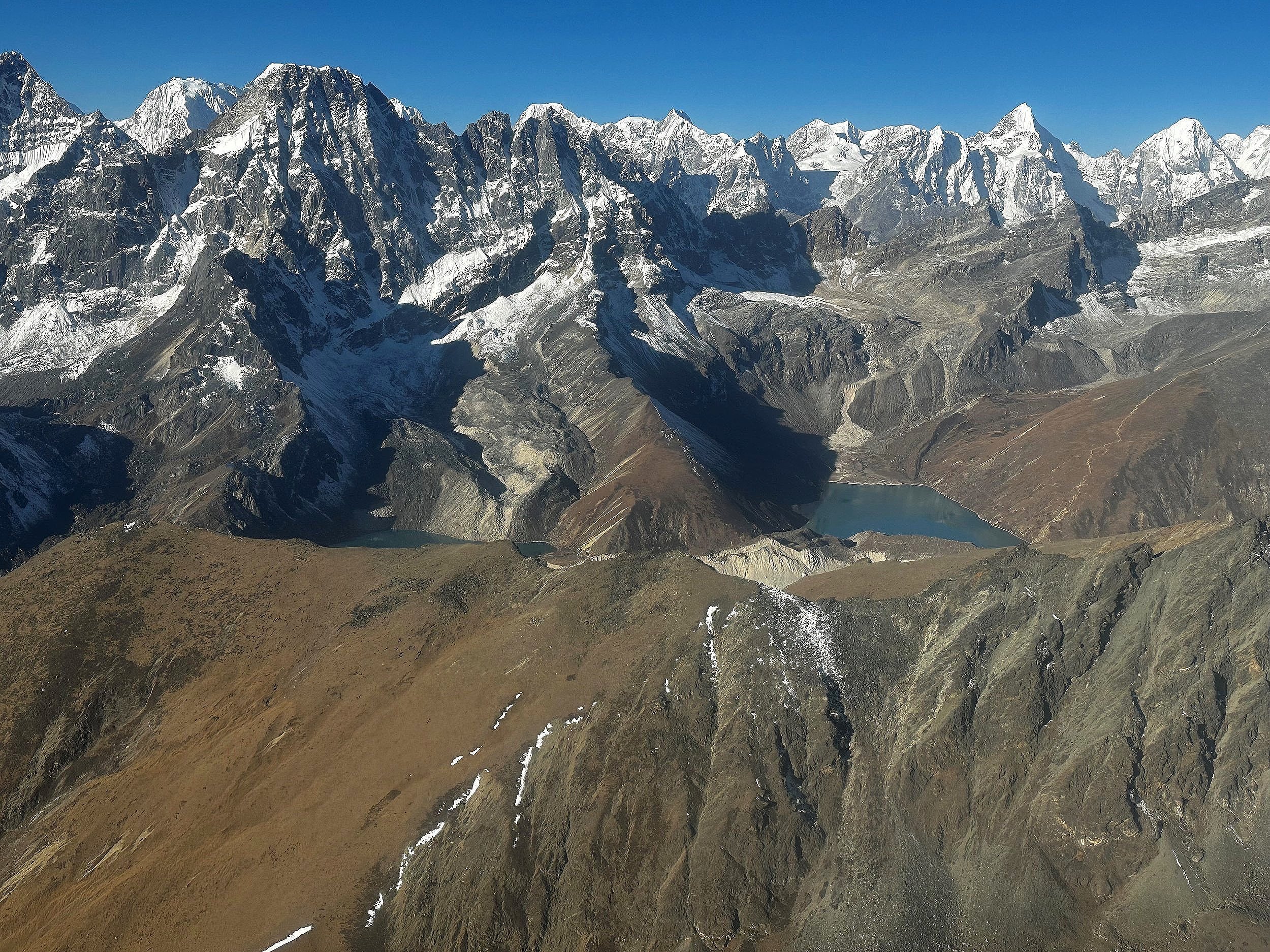
Gokyo Lake and Renjola Pass

Gokyo and Renjola Pass

Renjola Pass

Renjola Pass
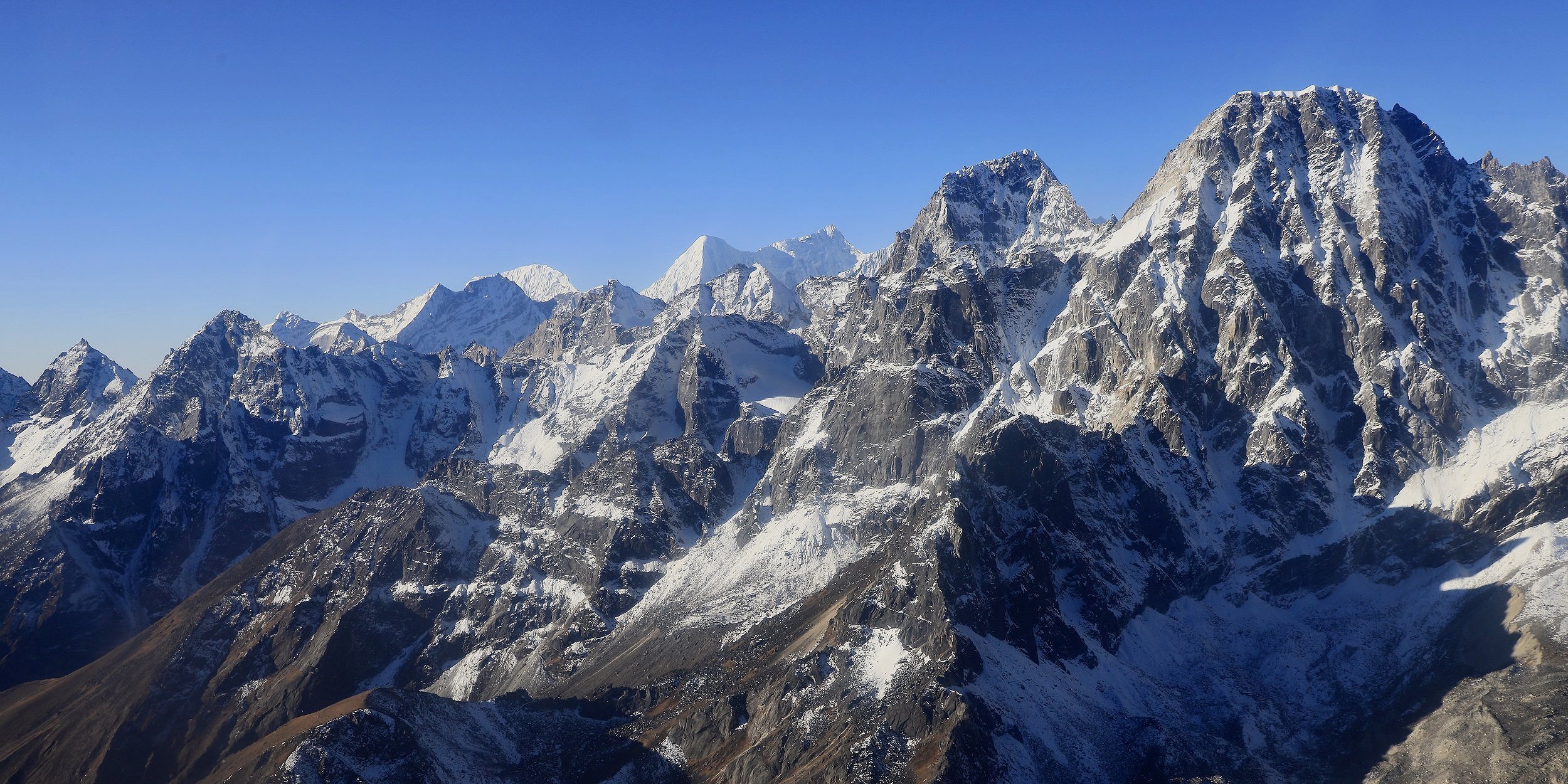
Mountains above Gokyo Valley south of Renjola
Phari Lapcha 6077m south of Renjola Pass
Phari Lapcha 6077m
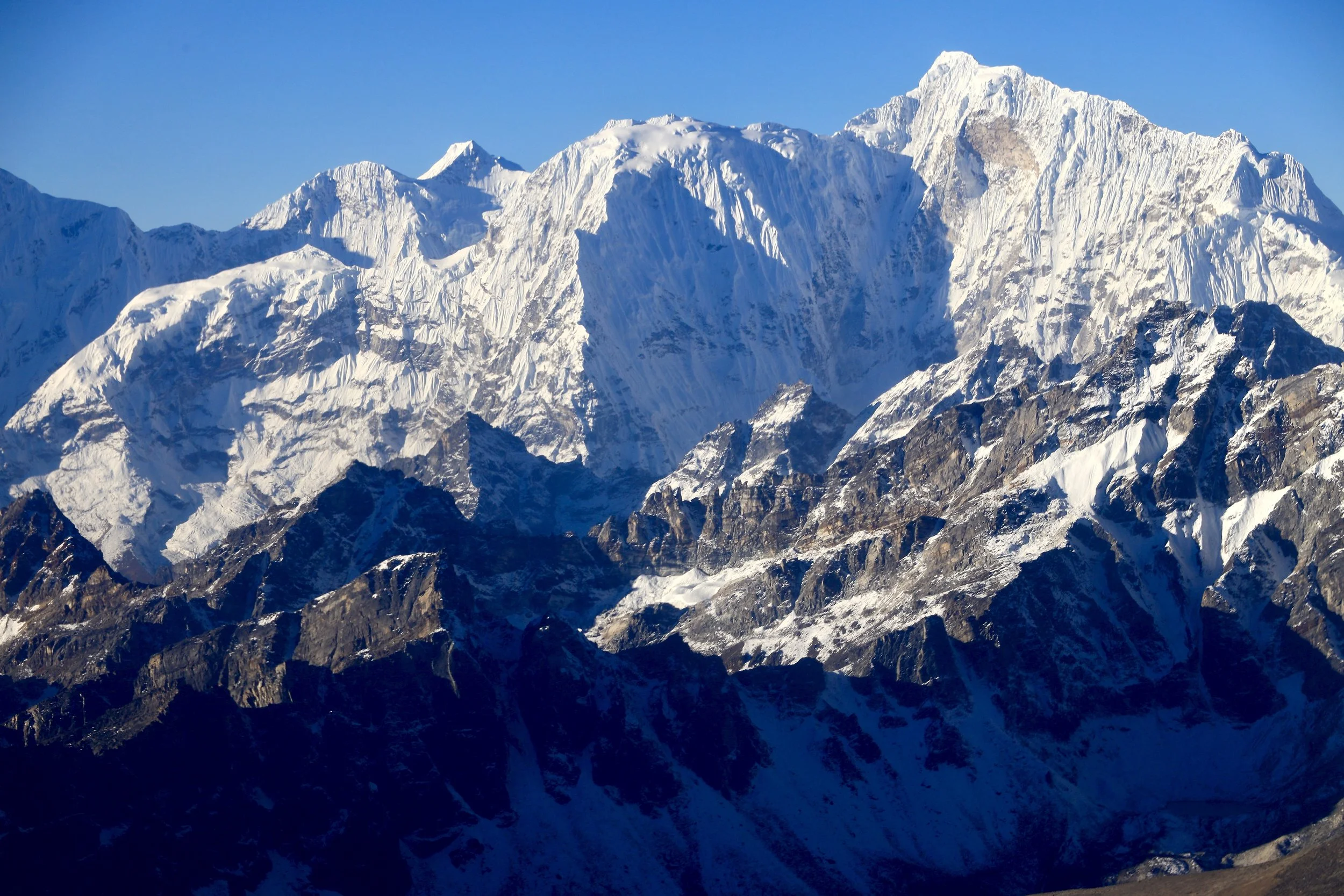
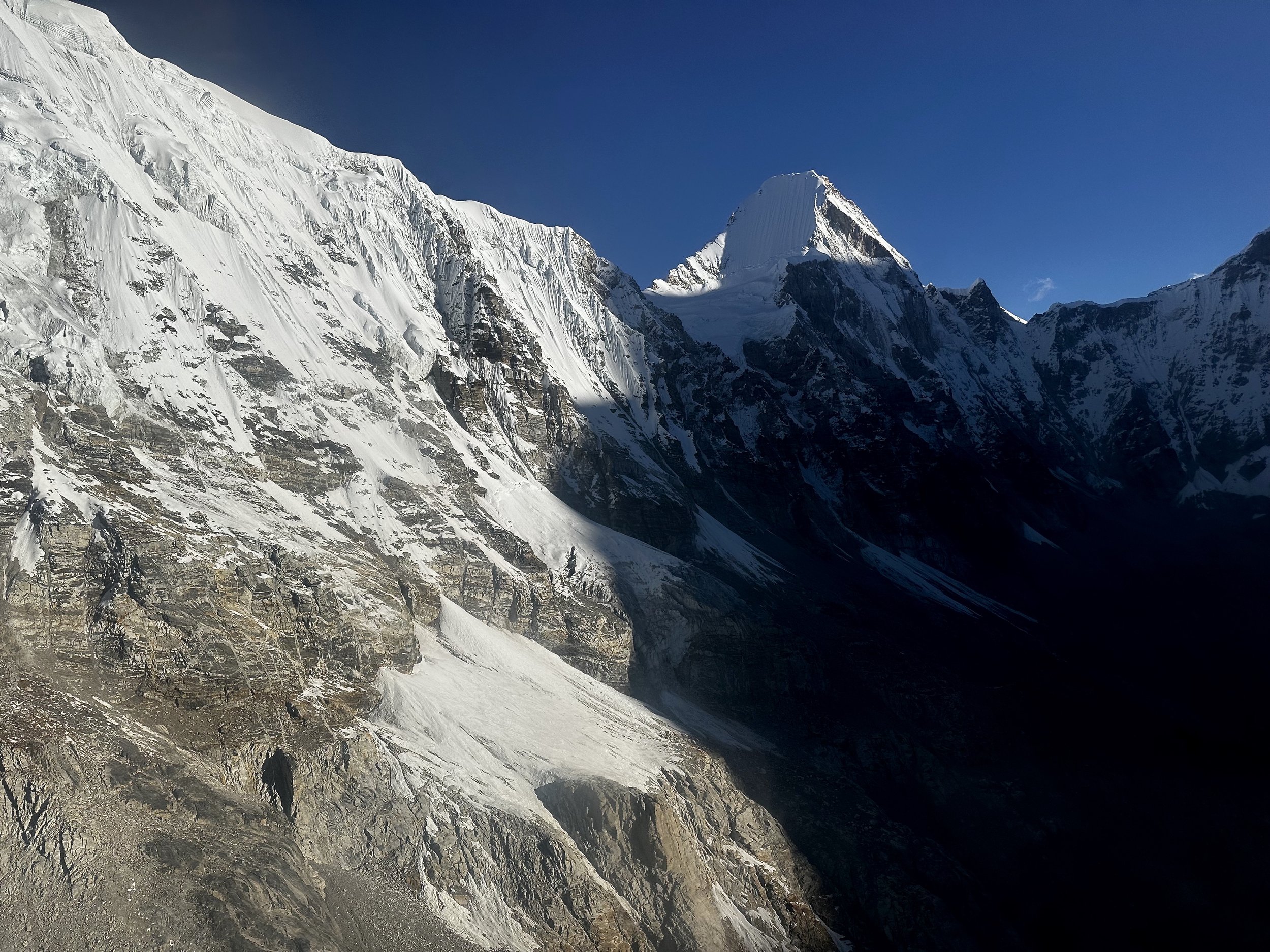
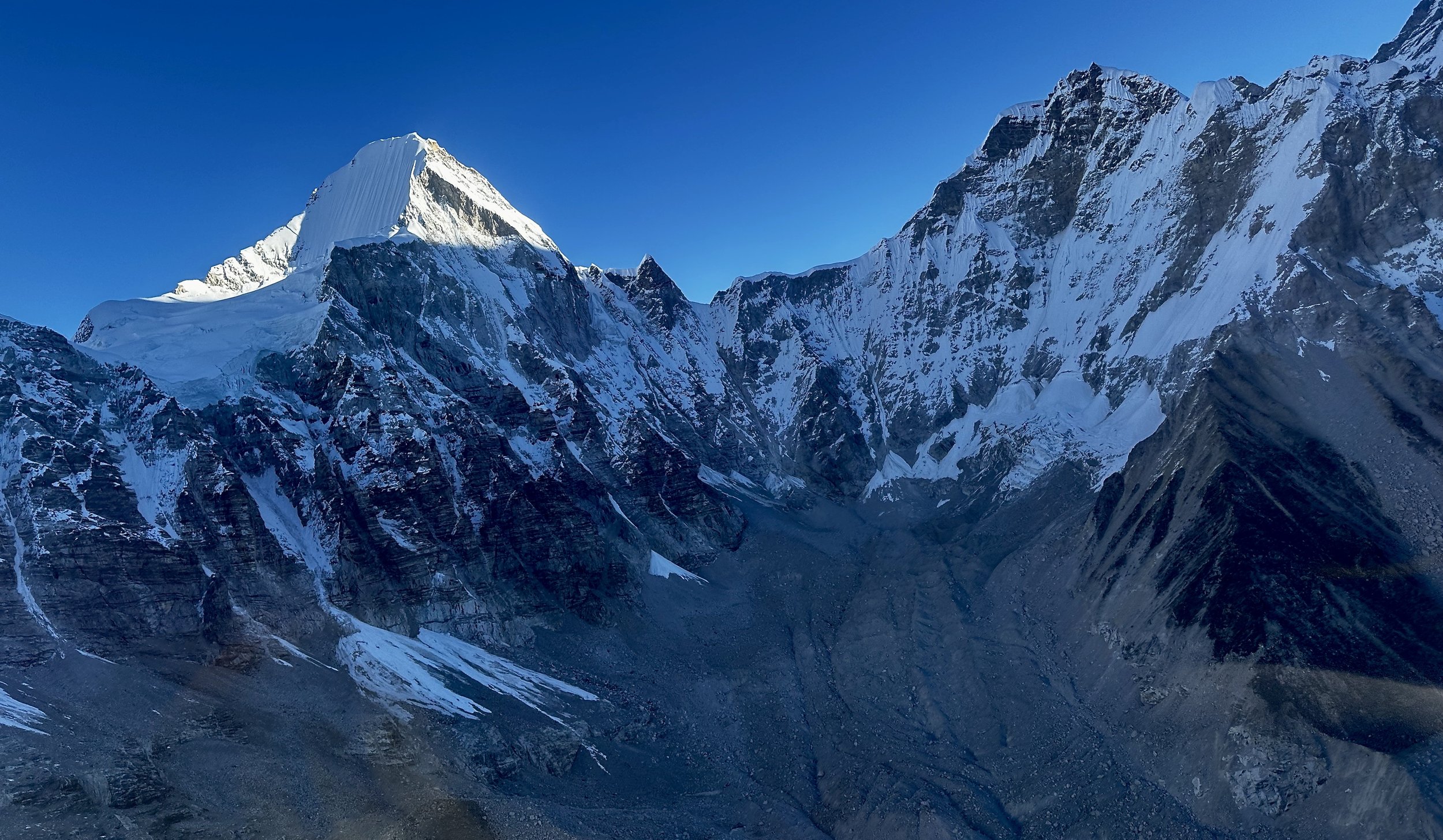
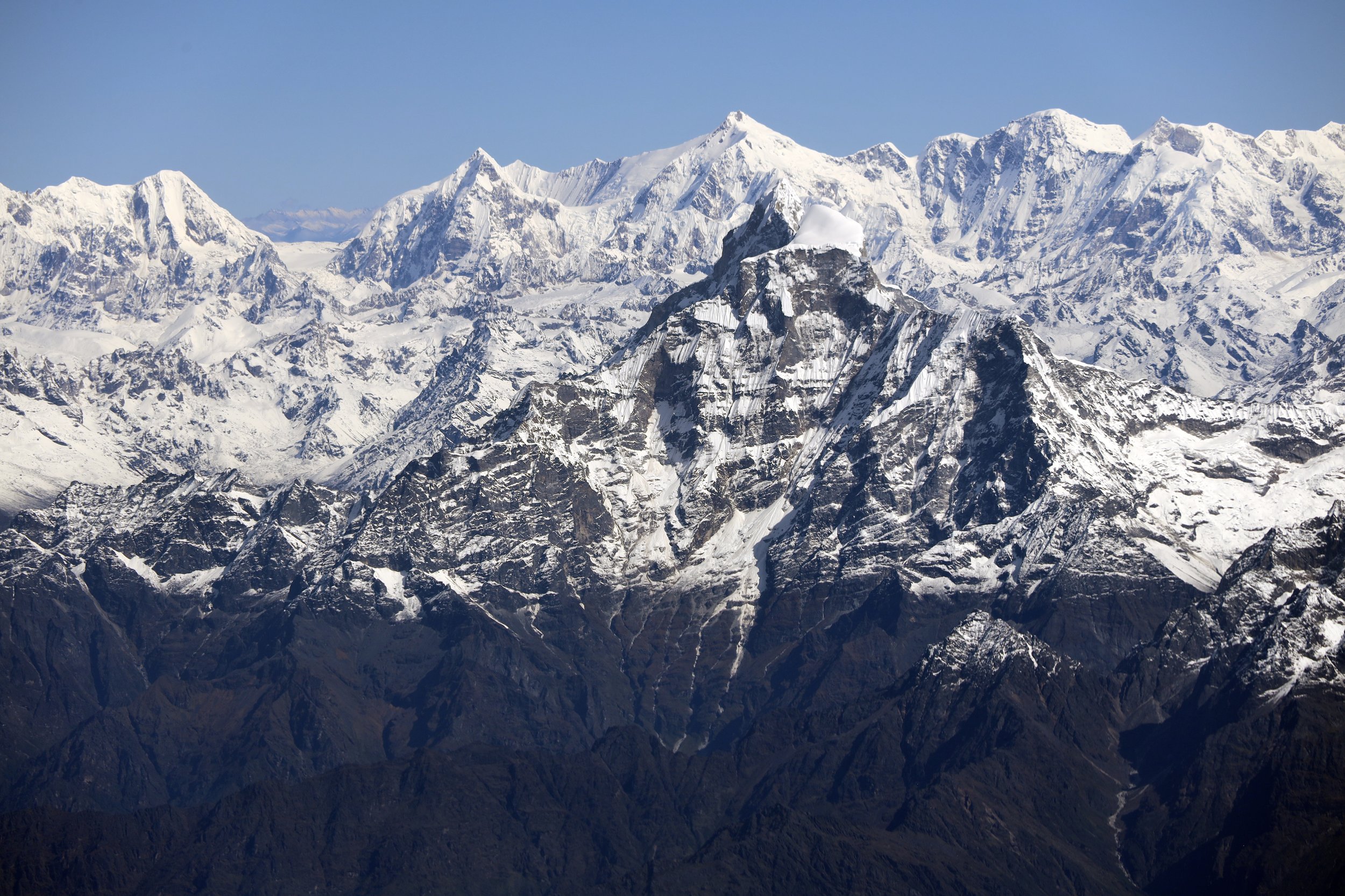
Tengi Ragi Tau
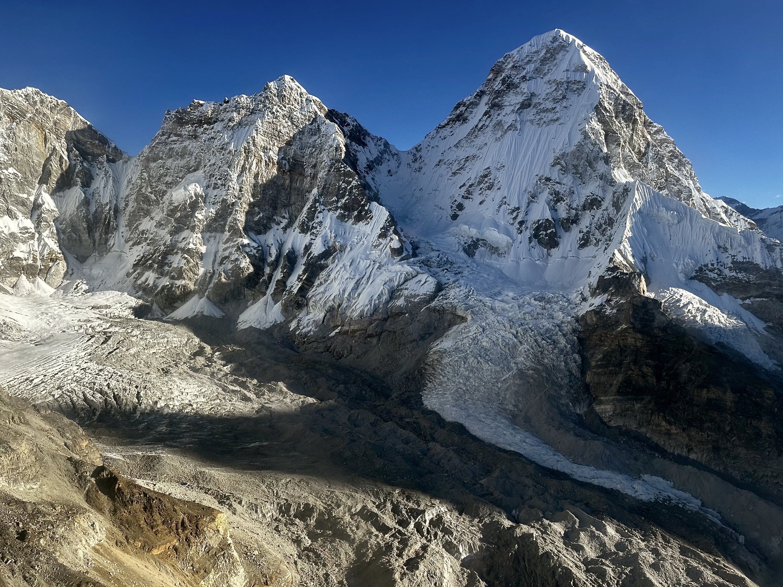
Dragnag Ri (left) 6757m and Khang Karpo 6646m


The Himalayas of Bhutan. This is the entire range of Bhutan. On the left if Chomloari, On the right Table Mountain and Gangkhar Puenseum (the highest peak of Bhutan) 7400m.

Chomolari 7315m, Chomolari 2 6935m, Jitchu Drake 6850m and Takaphu 6526m in Bhutan Himalaya
Chomolari, Chomolari 2 and Jitchu Drake in Bhutan Himalaya

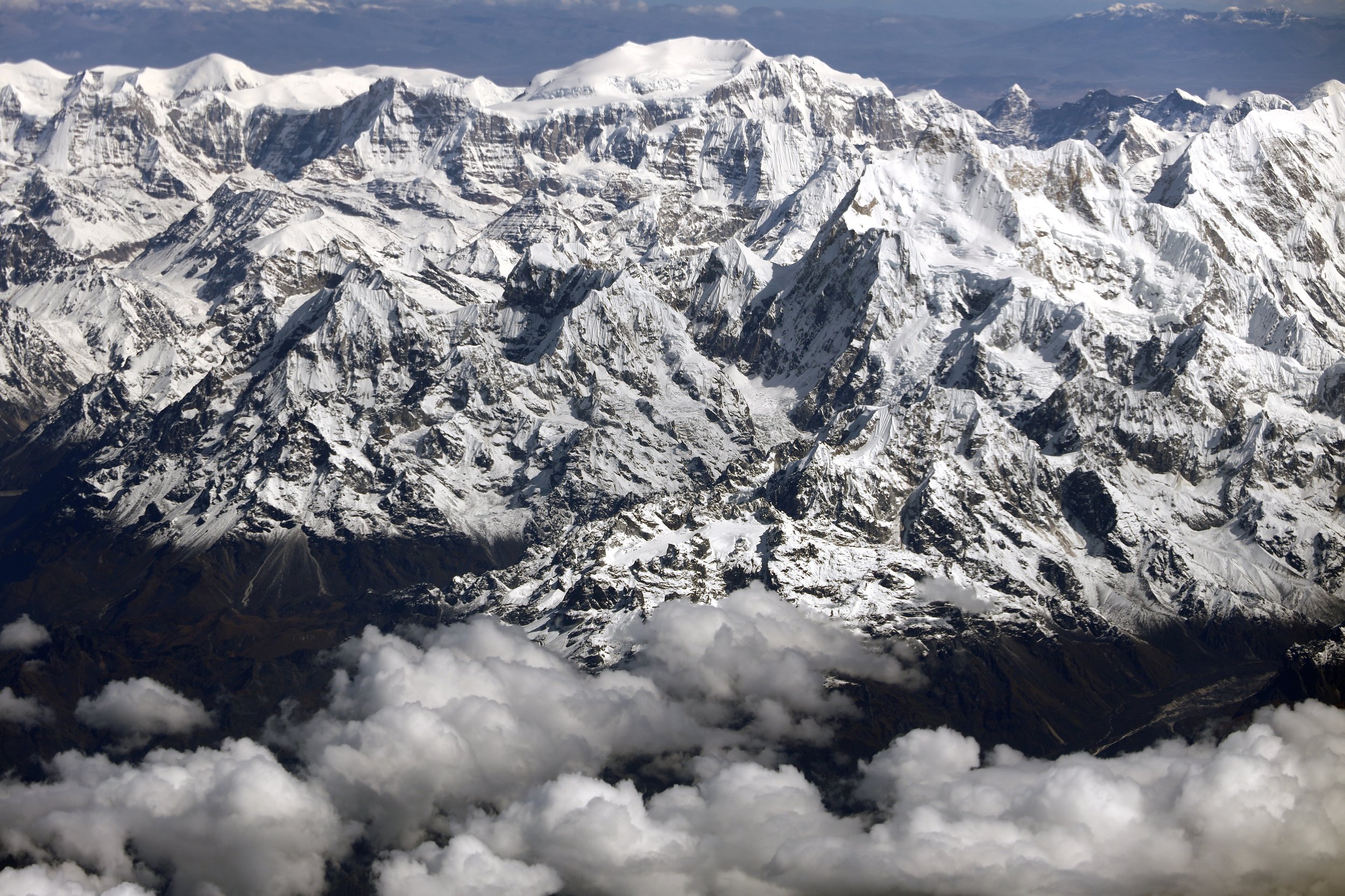
Kangchendzonga from Skikim side (from the East)

Langatang Himal, Shishapngma is on the left

Gauri Sankar 7314m in Rowaling Himal Nepal

Jugal Himal, Nepal/Tibet
Gauri Sankar in the Rowaling Himal
Looking towards Cho Oyu from the southwest. Rowaling Himal is in the foreground.

Mount Everest

Rowaling Himal with Cho Oyu

Rowaling Himal with Cho Oyu
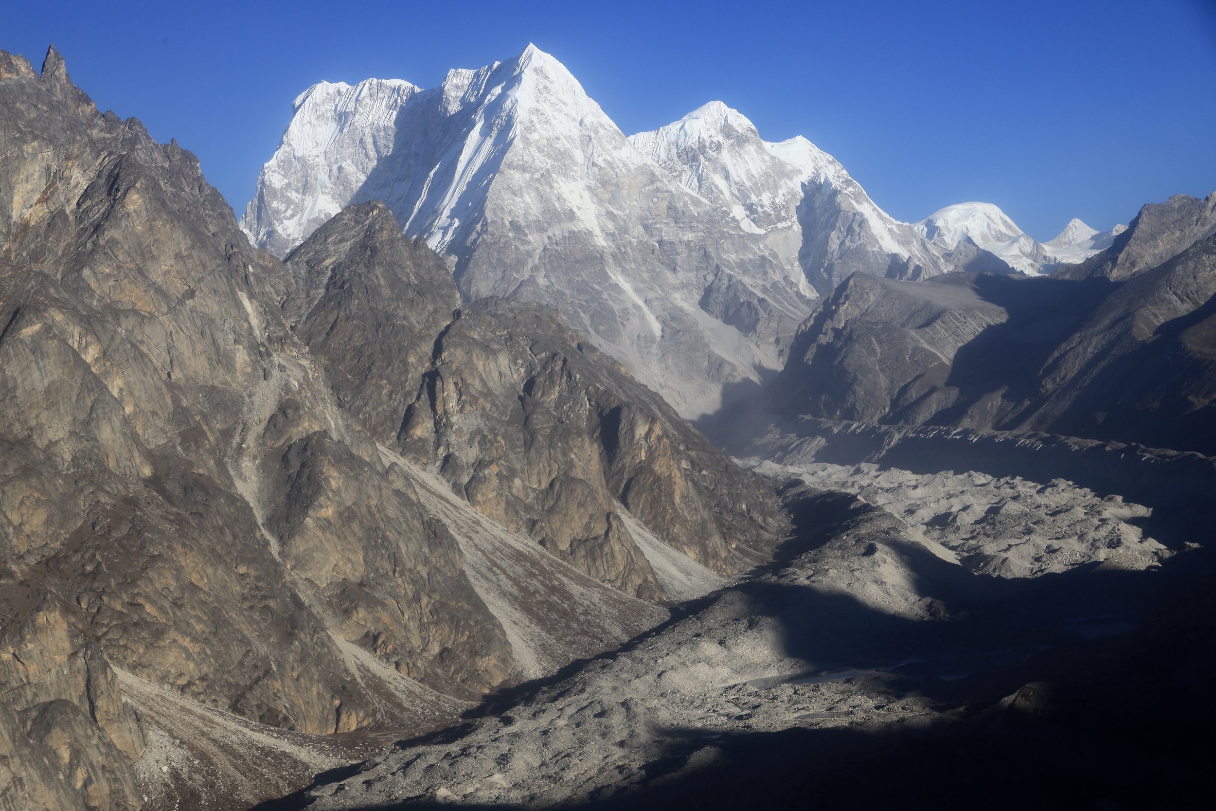
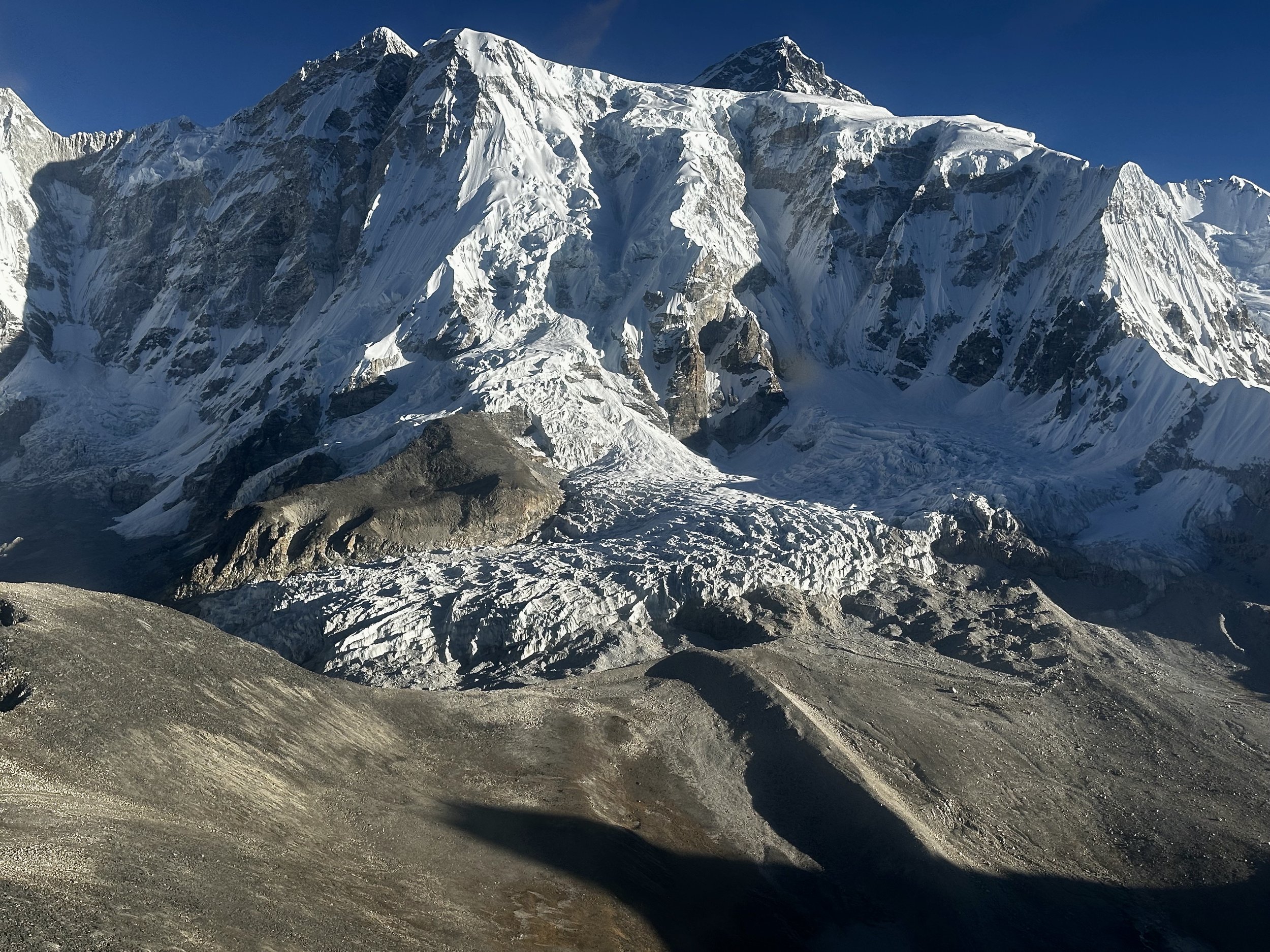
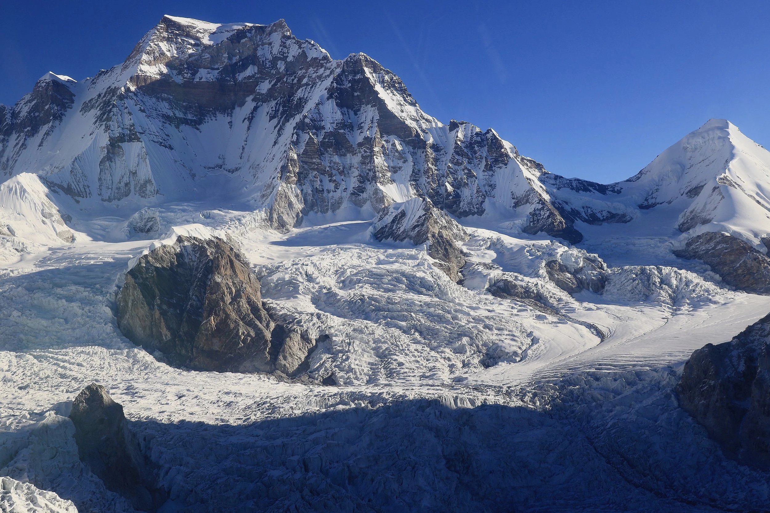
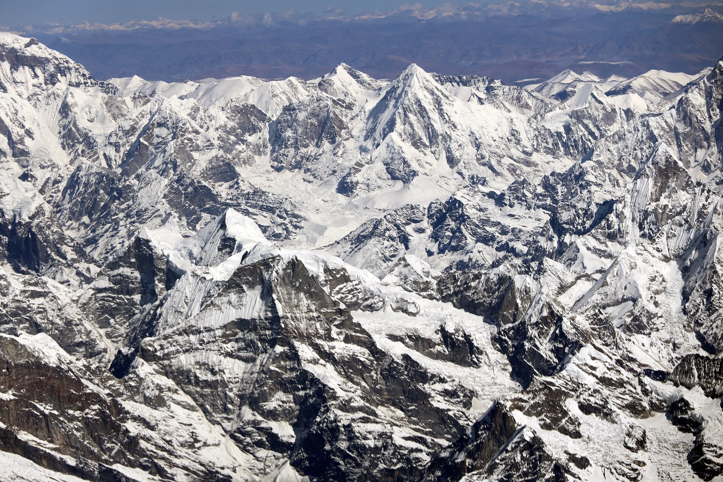
Pumori and the Khumbu central
On the right is Jasemba, than Nangpa La, Lunag 1 and Khumbu west
Jasemba in the centre and Cho Oyu is on the right
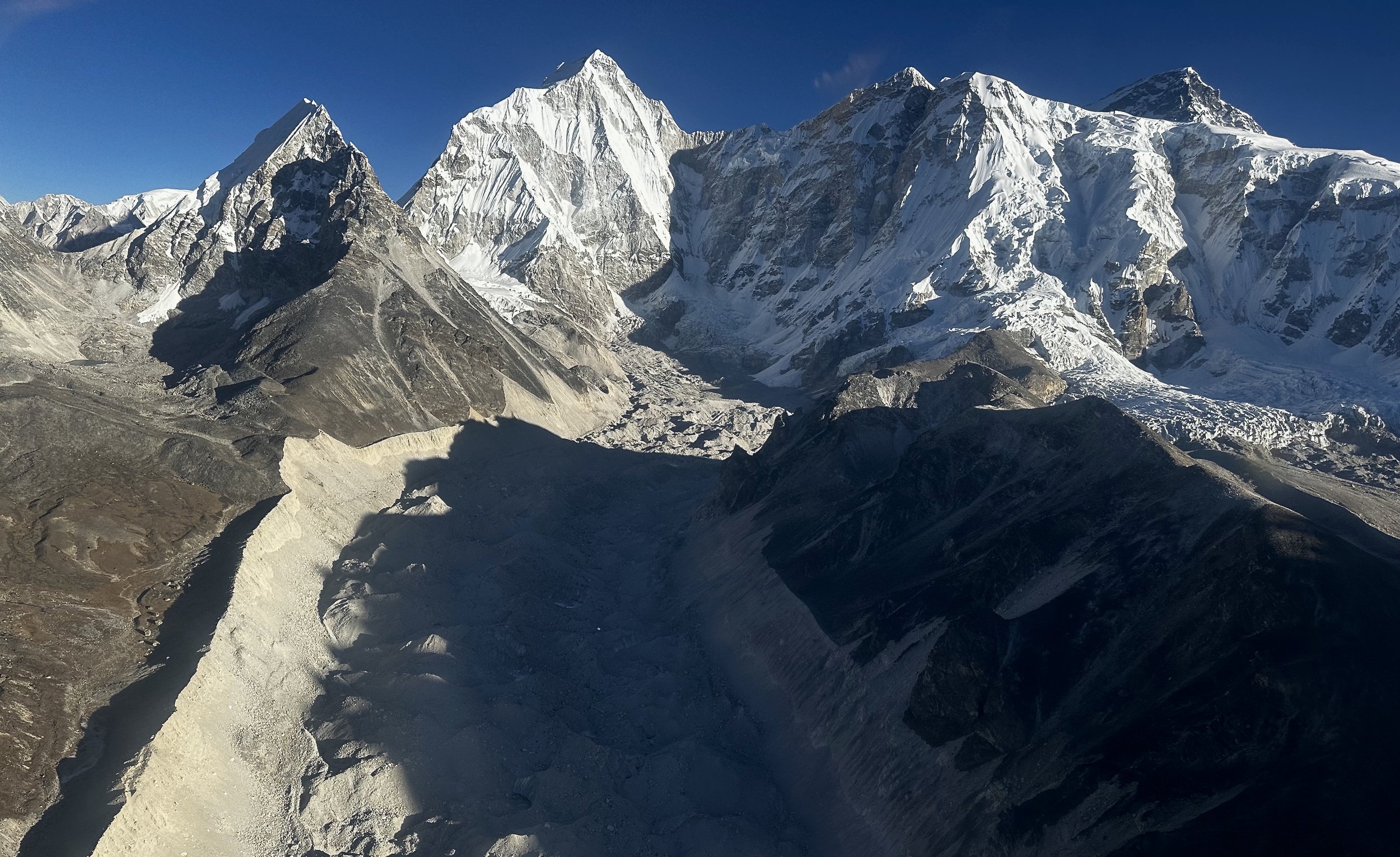
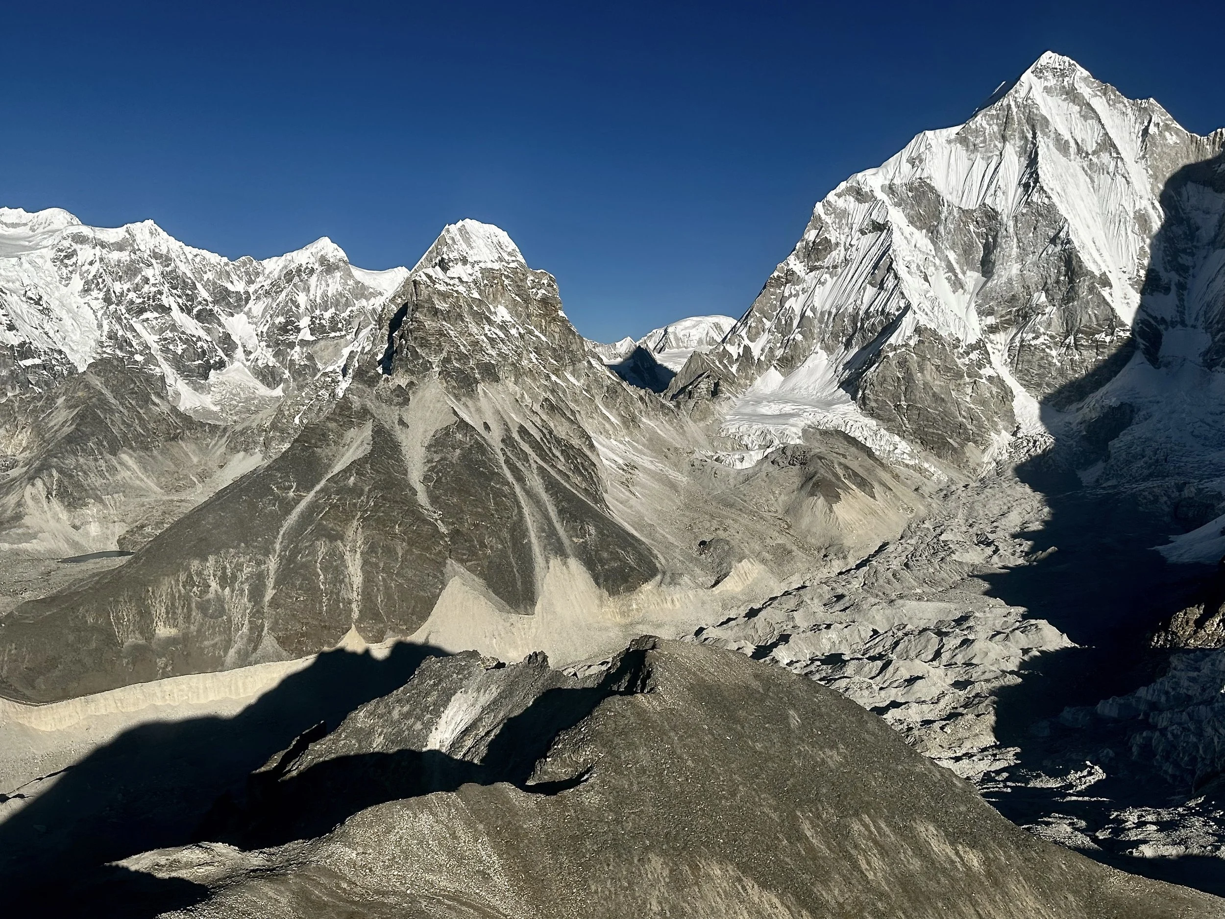
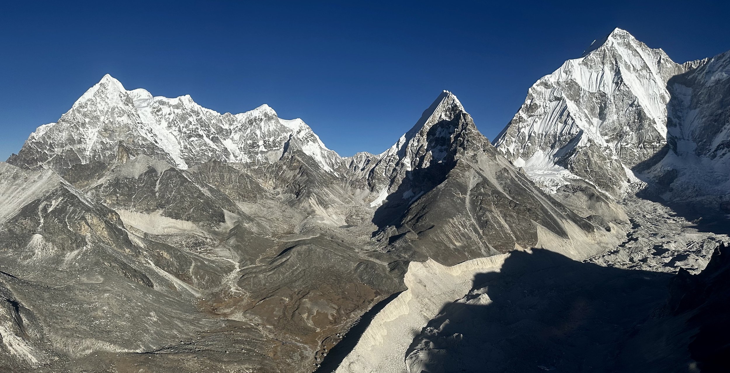
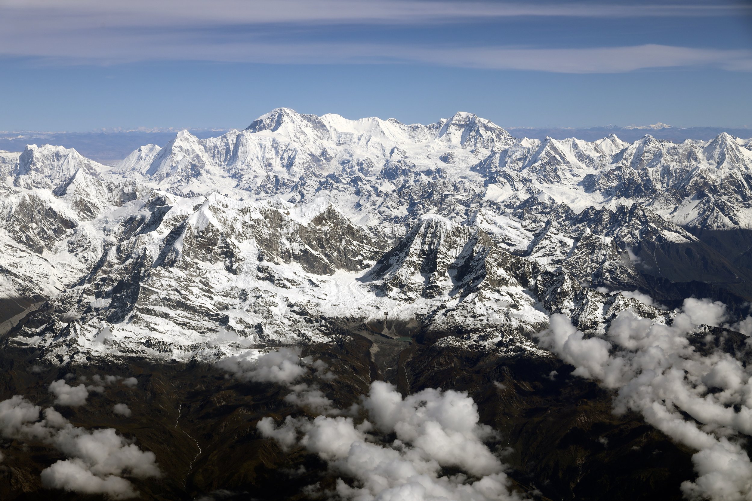
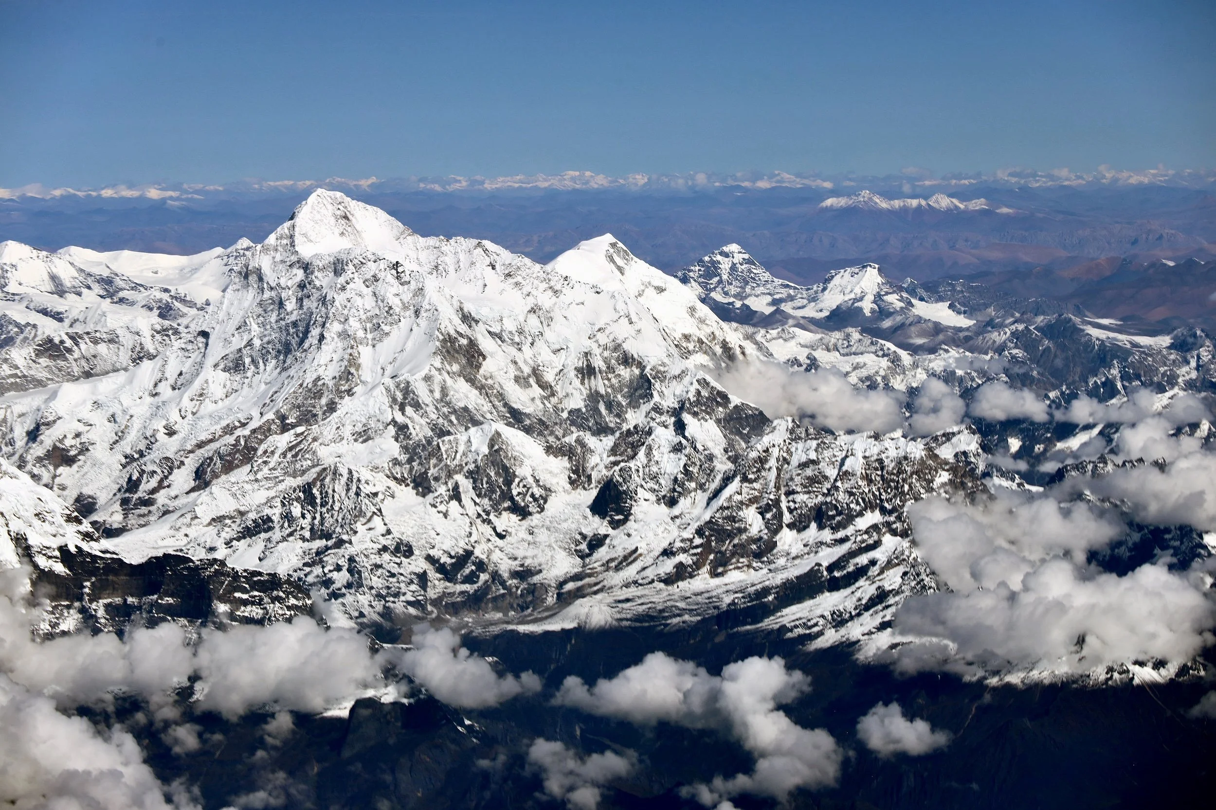
Mountains between Everest and Makalu

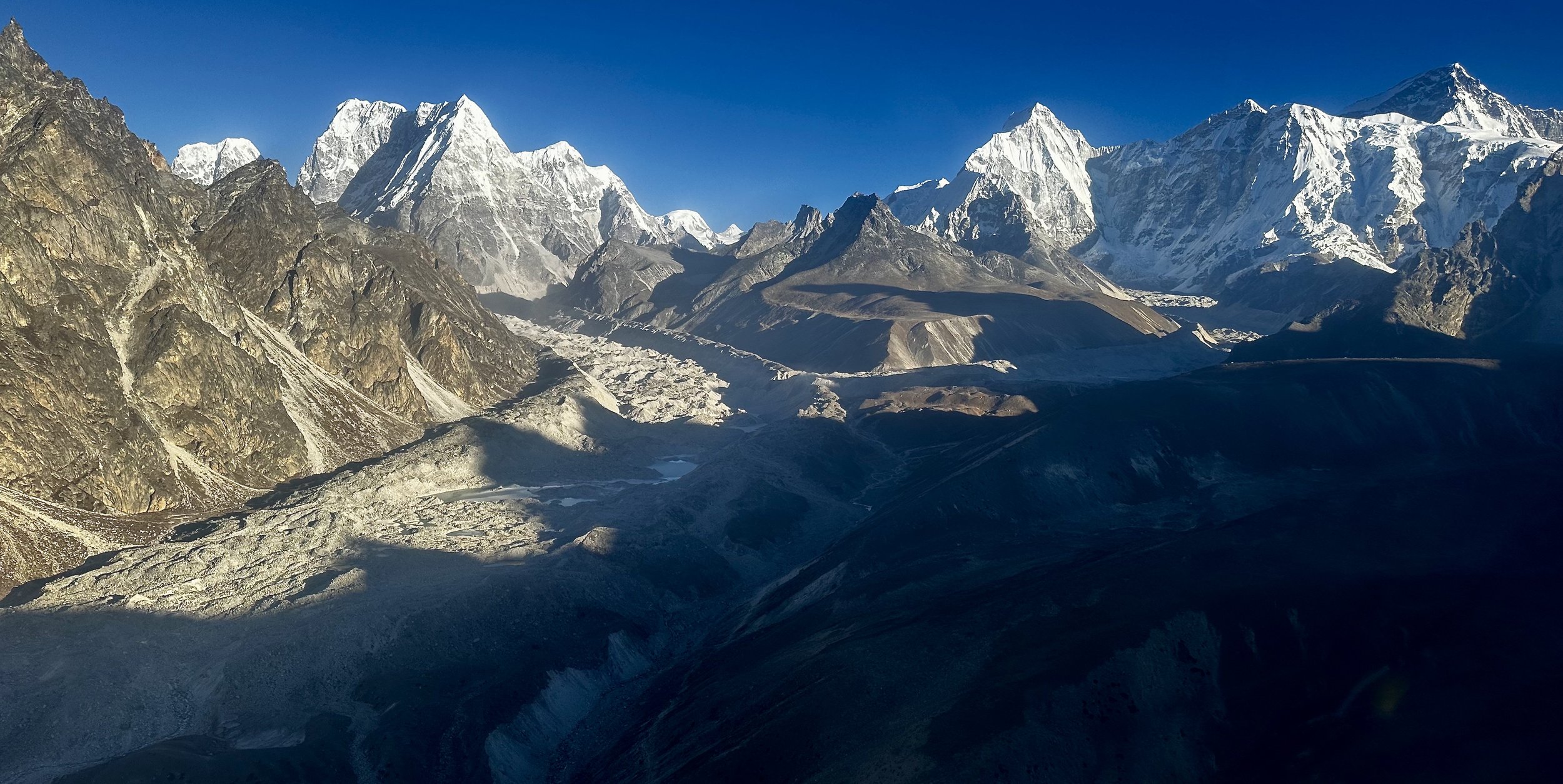
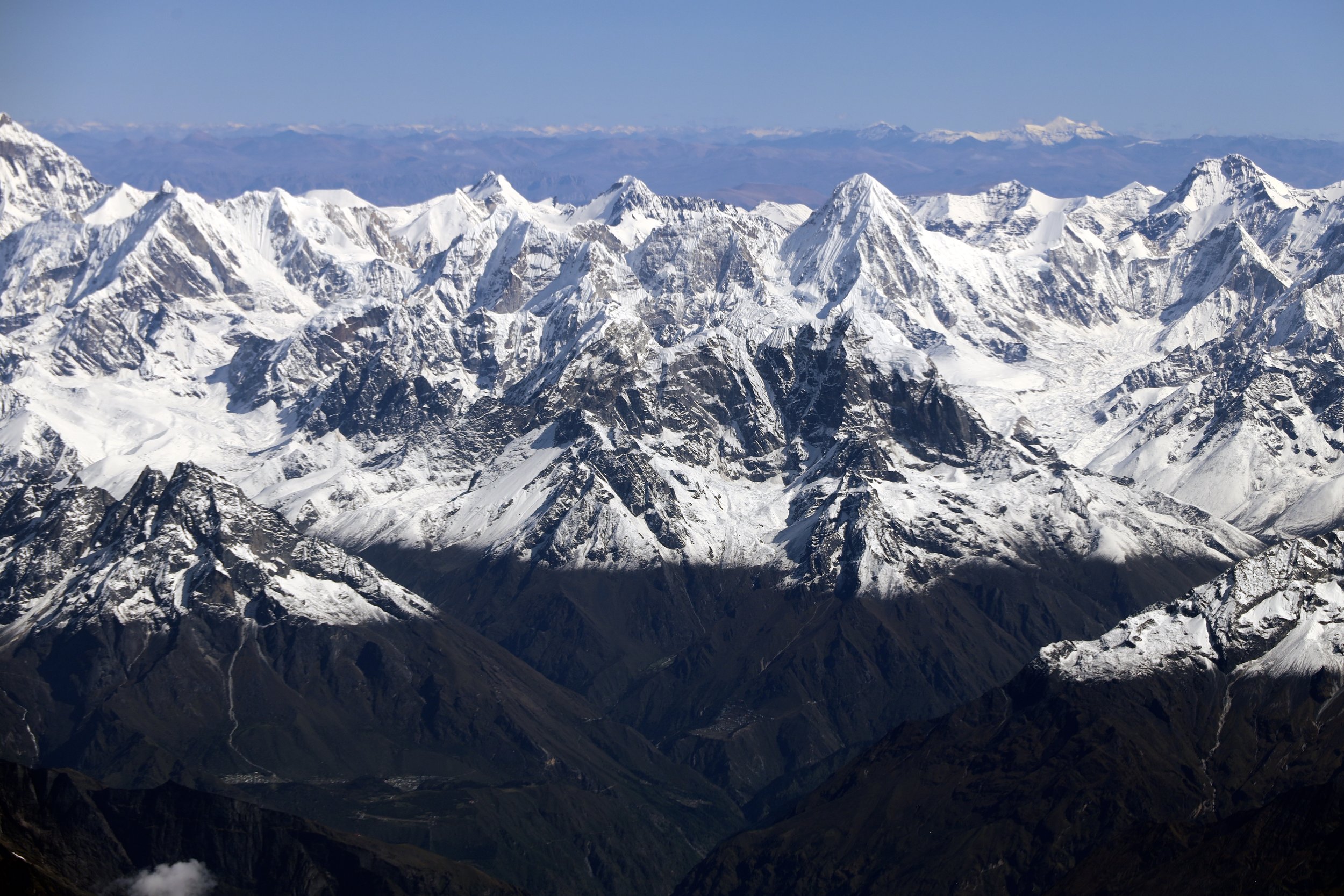
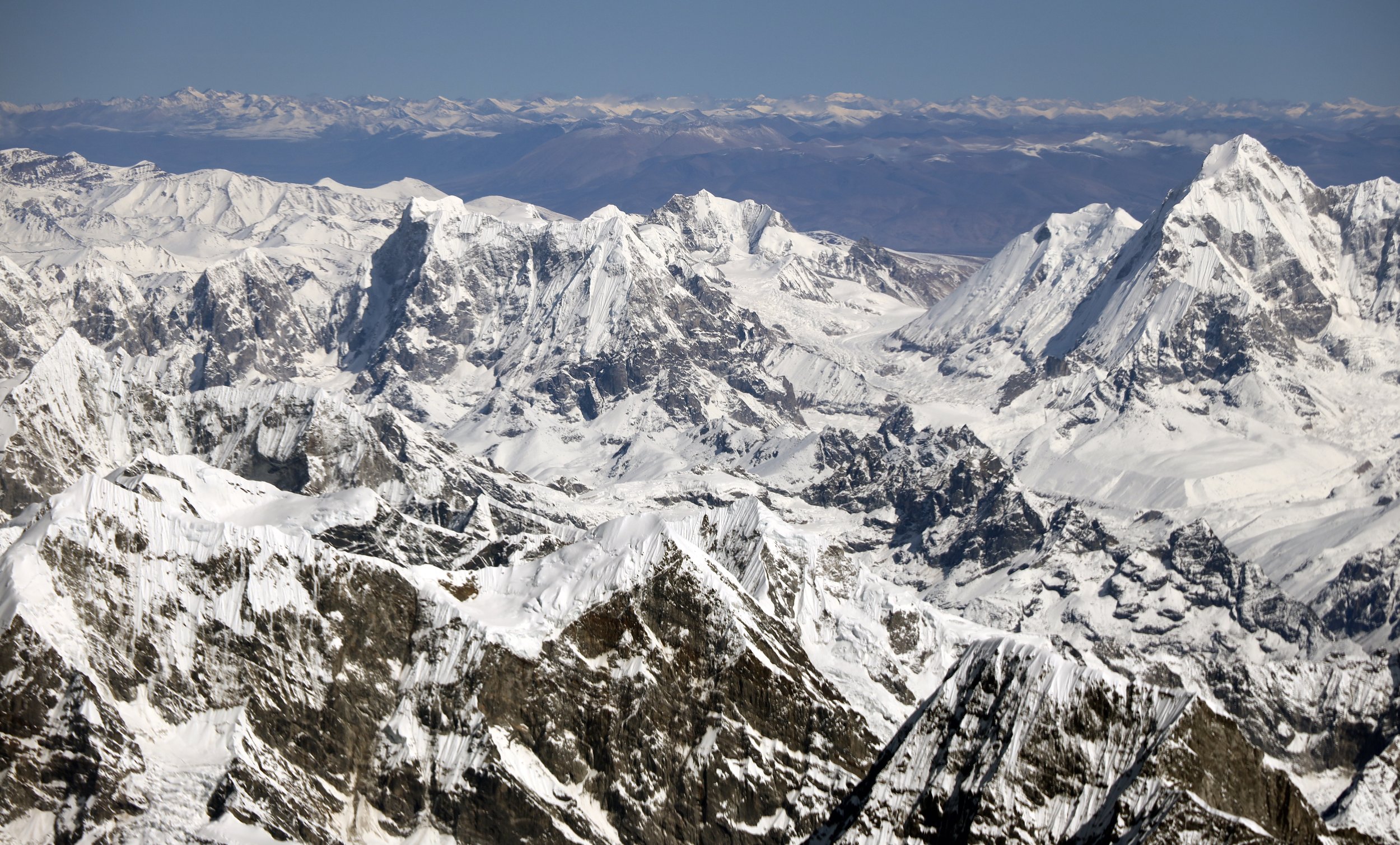
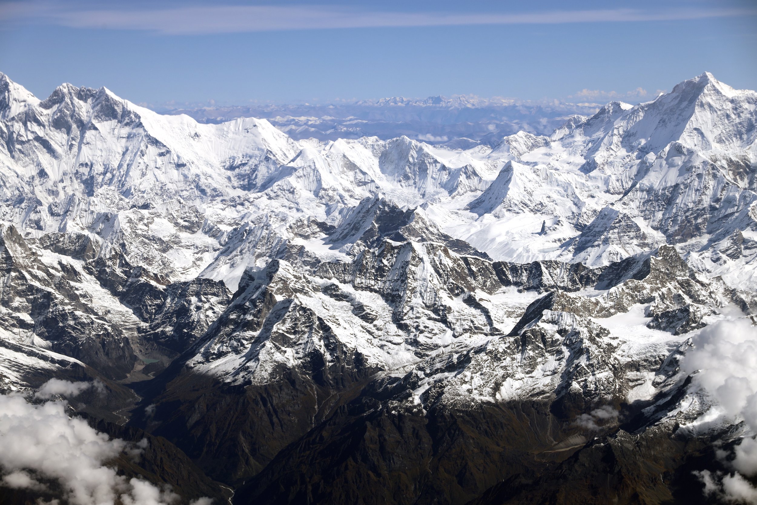
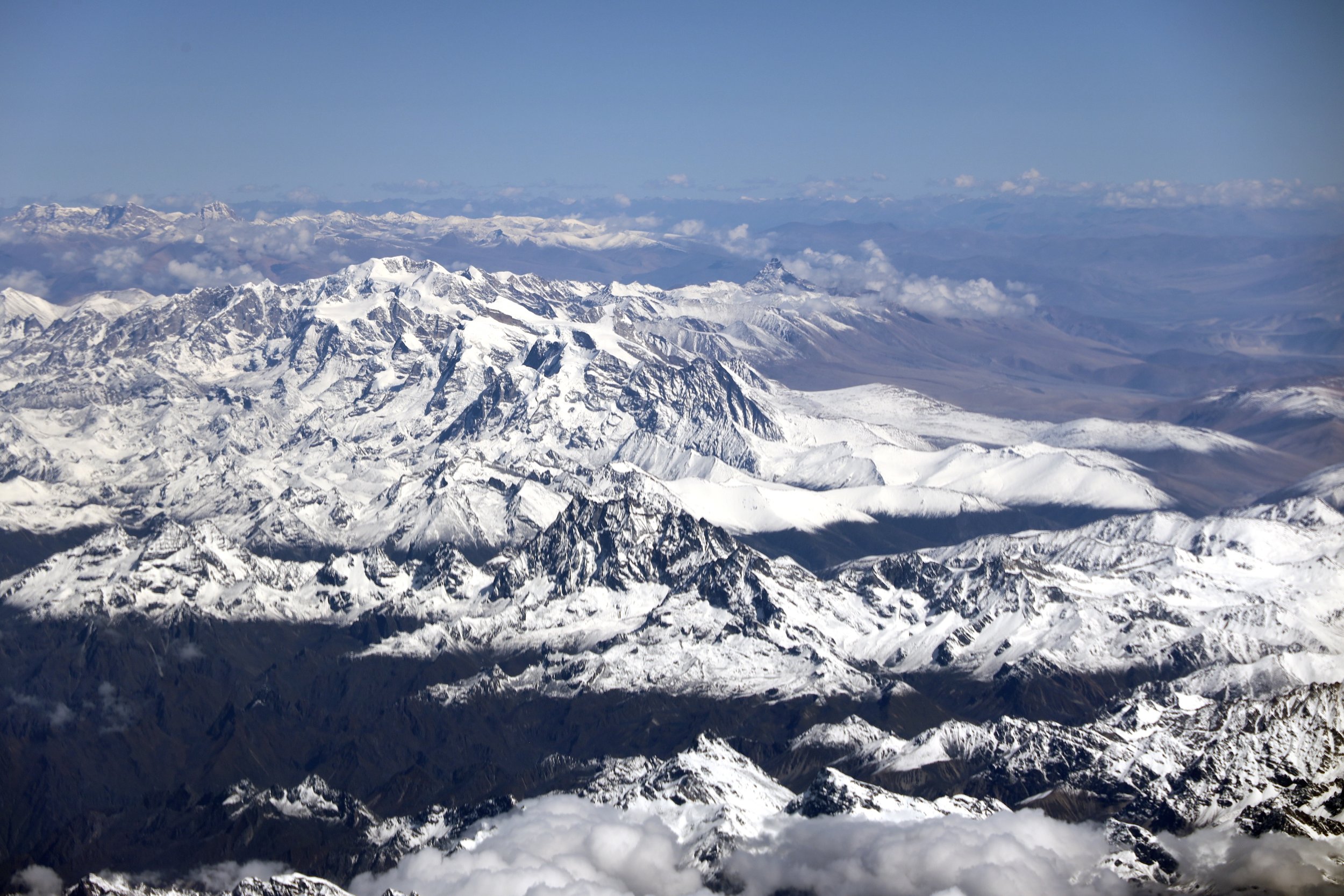
The Khumbu

Mount Everest

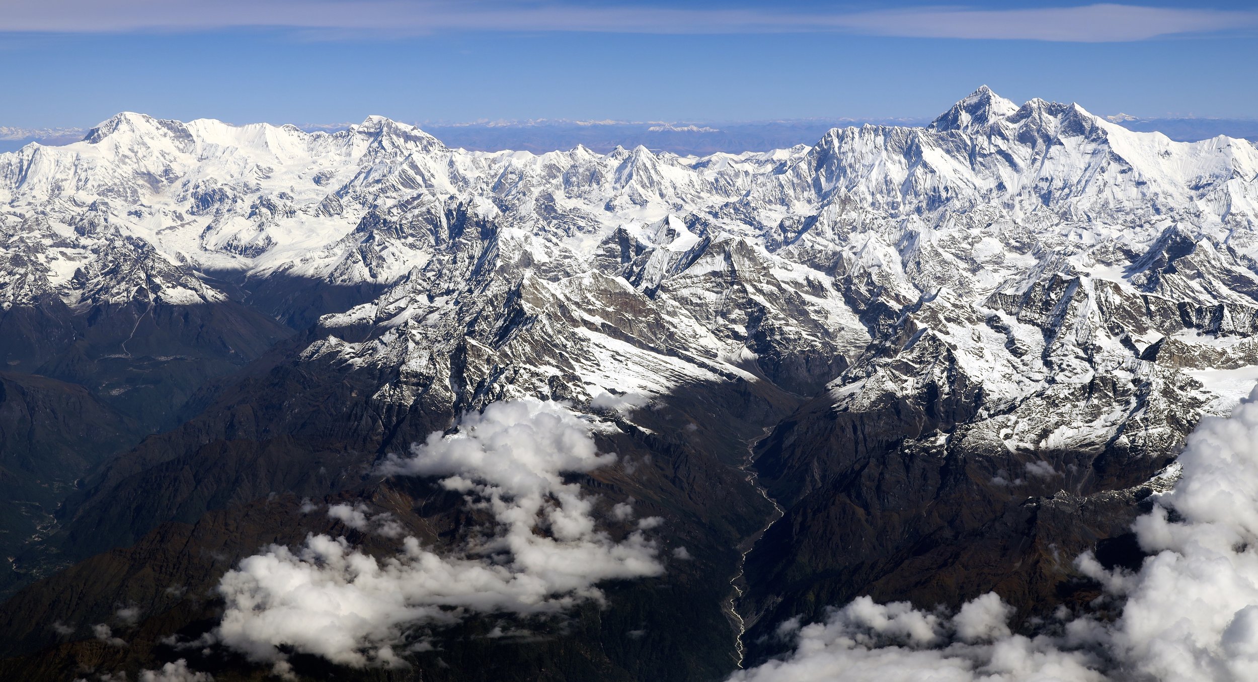
East Khumbu
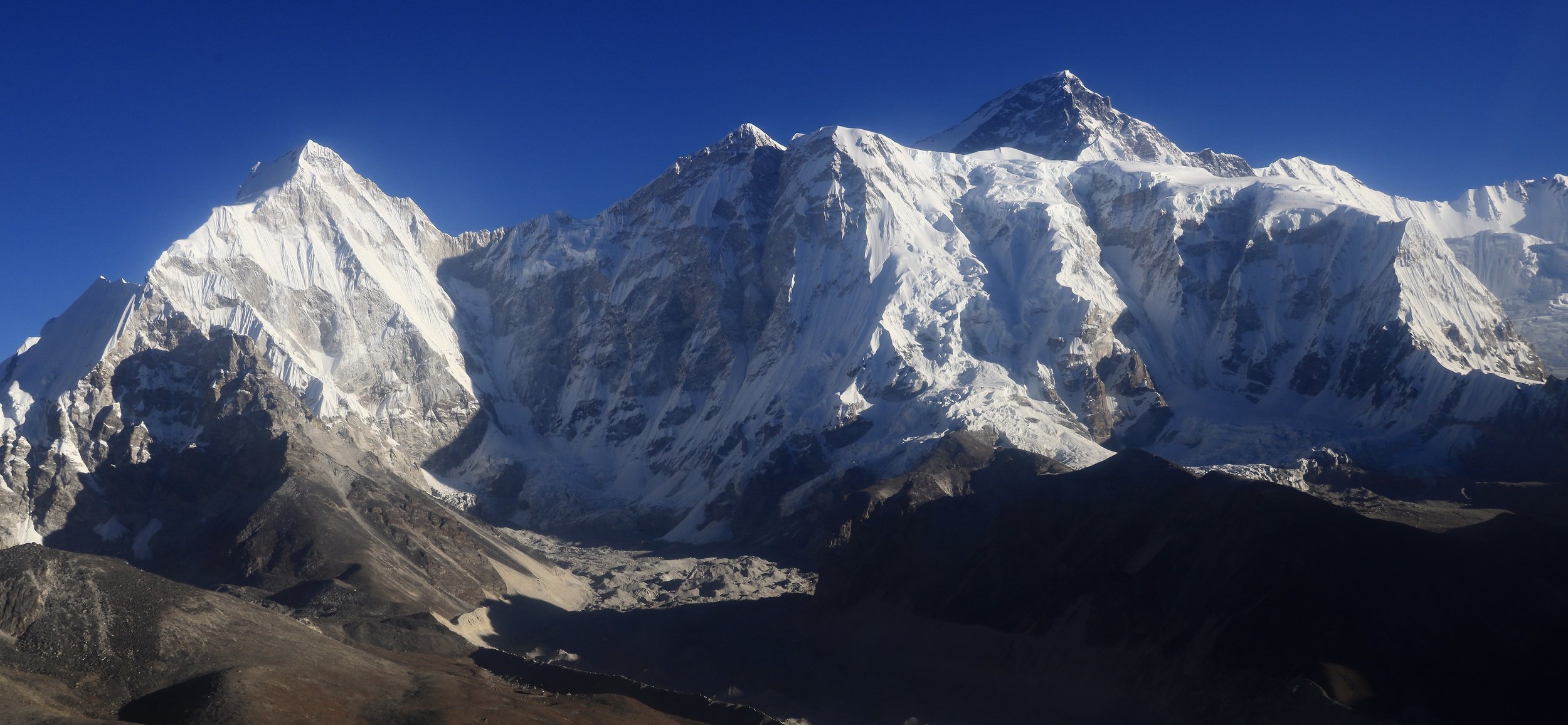
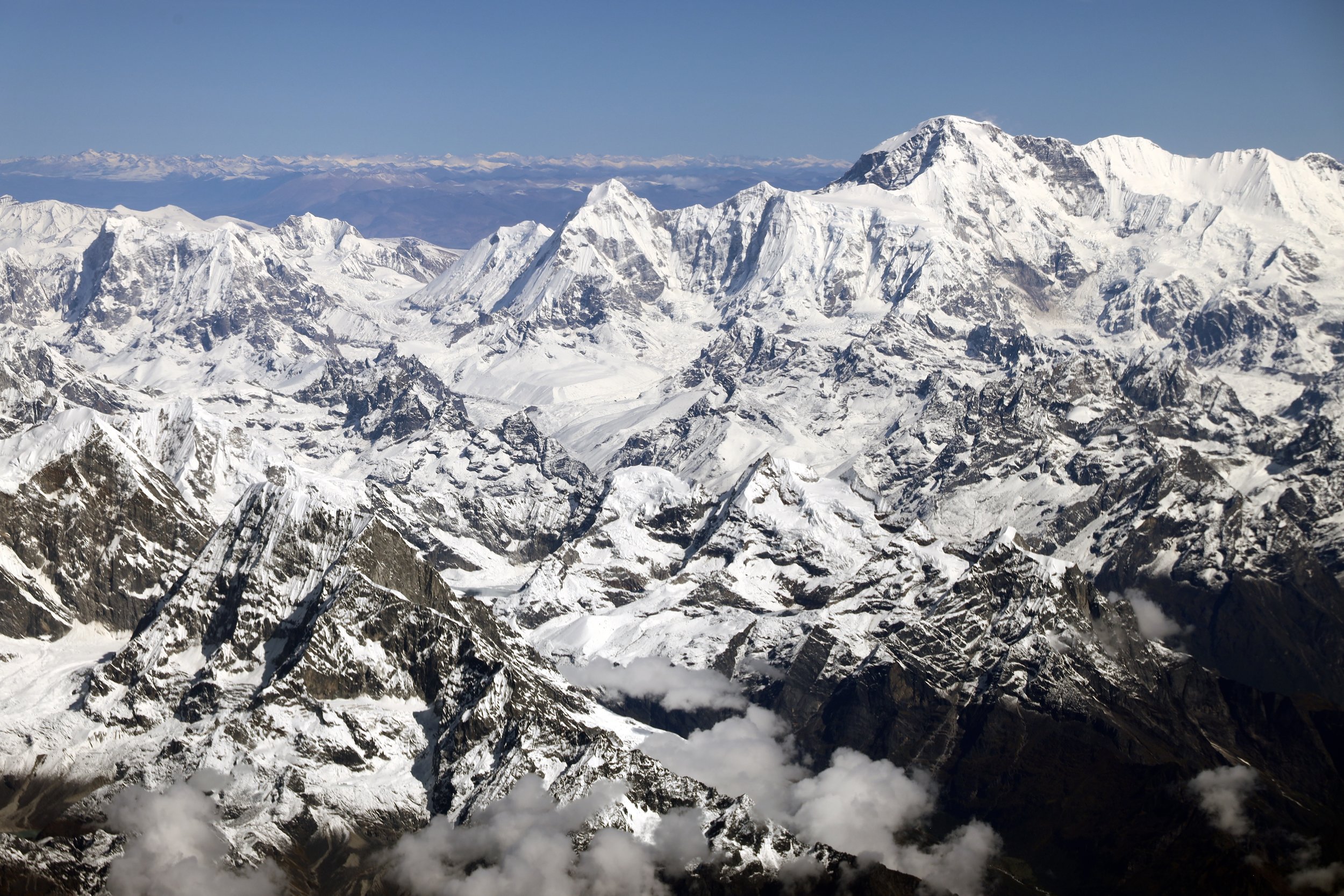
The Khumbu. Cho Oyu is on the left. Everest is on the right.

Everest is on the left, Makalu on the right.

Mount Everest and Lhotse
Everest, Nuptse and Lhotse
Pumori (the pyramidal peak in the centre)
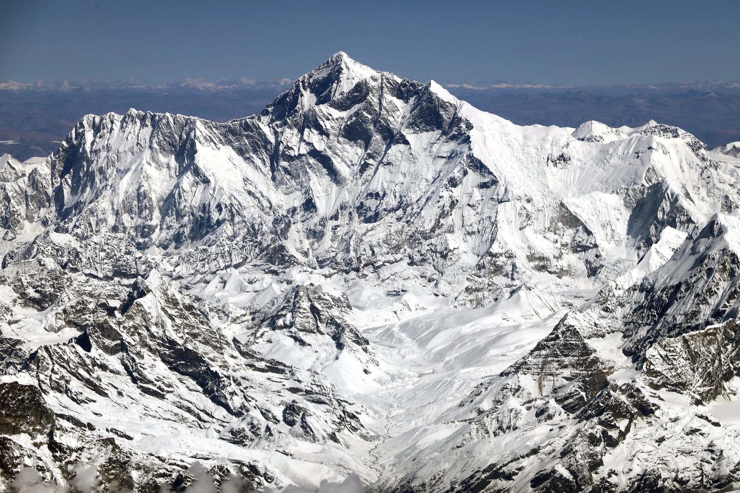
Mount Everest

Mount Makalu

Chamlang (left) and Makalu

Makalu and Chamlang

Barun Valley and Makalu
Makalu
Mountains north-east of Makalu

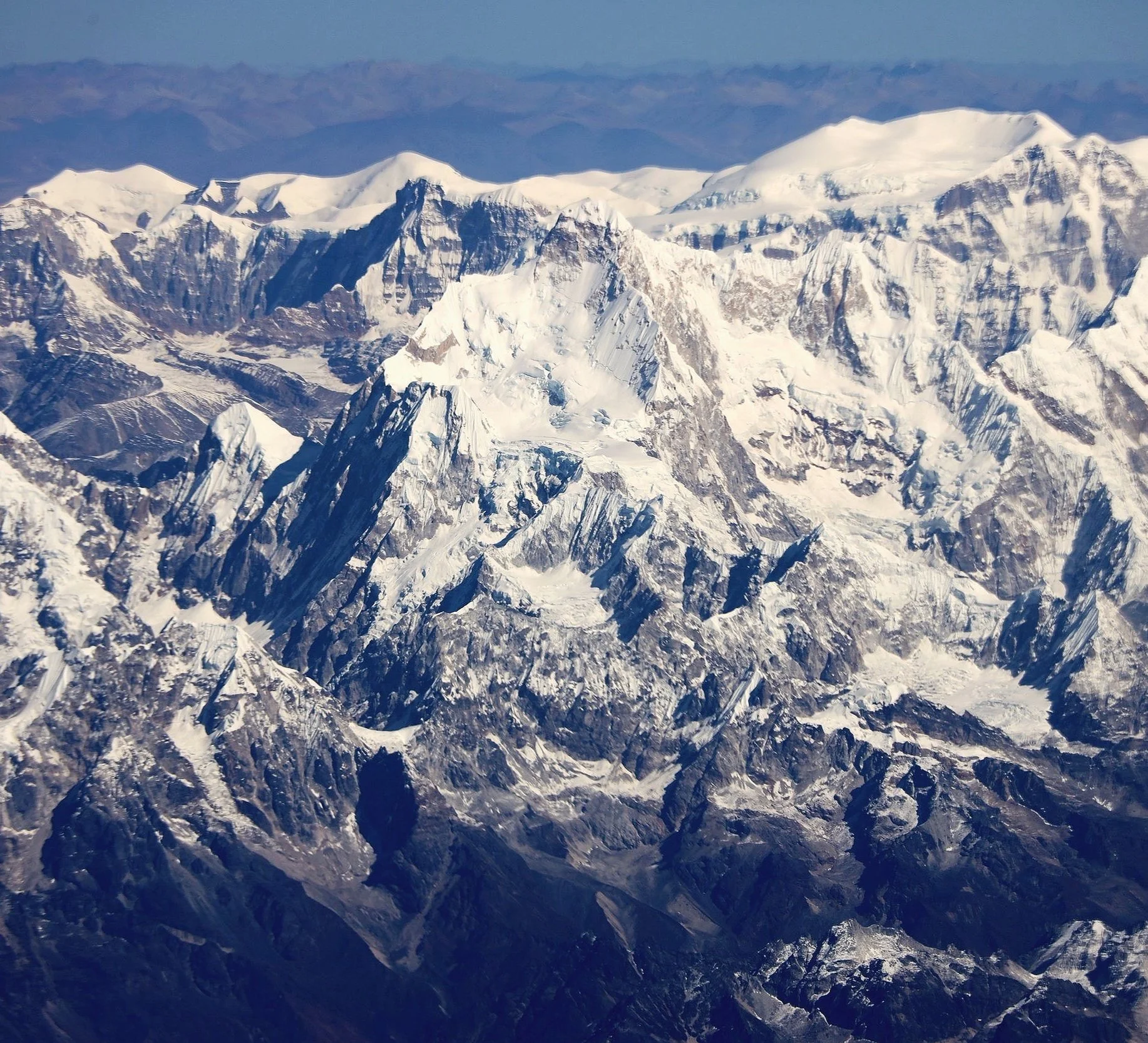
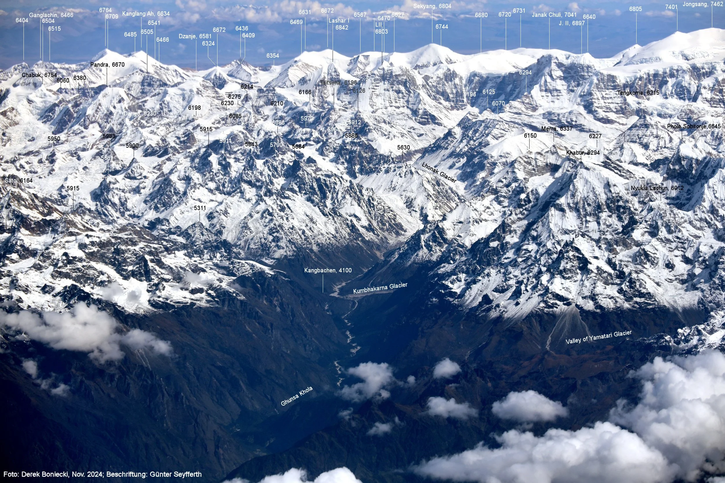
Kangchendzonga region with Janu on the right

Kangchendzonga Himal. The valley of Gunsa is on the left.

Trail to Gunsa, Kangchendzonga
Kangchendzonga Himal. Janu is on the right.
Mt. Janu

Kangchchendzonga south

Kangchendzonga Himal. Janu is on the right.

Kangchandzonga’s 3 summits

Kangchandzonga south

Kangchendzonga south

Sikim side of Kangchendzonga Himal


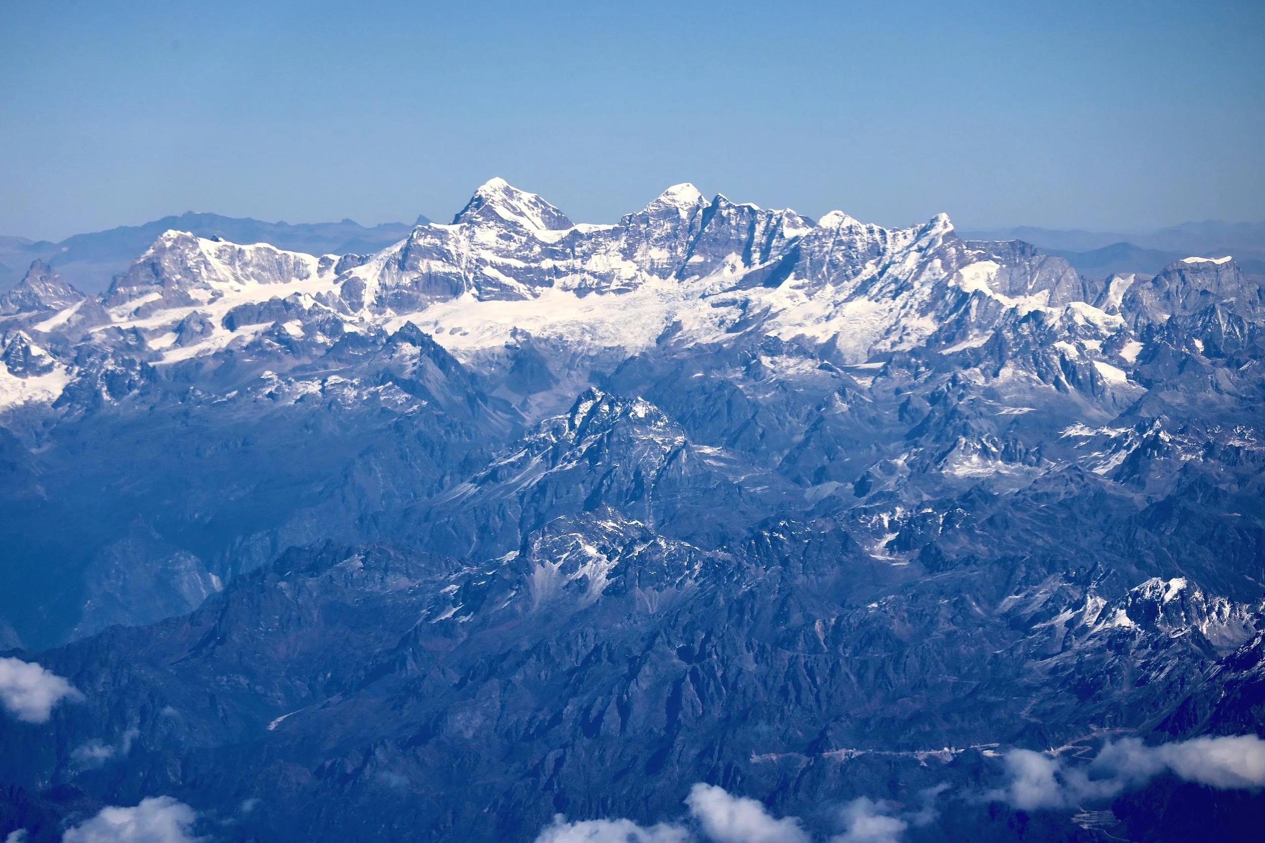
Sikim

Sikim