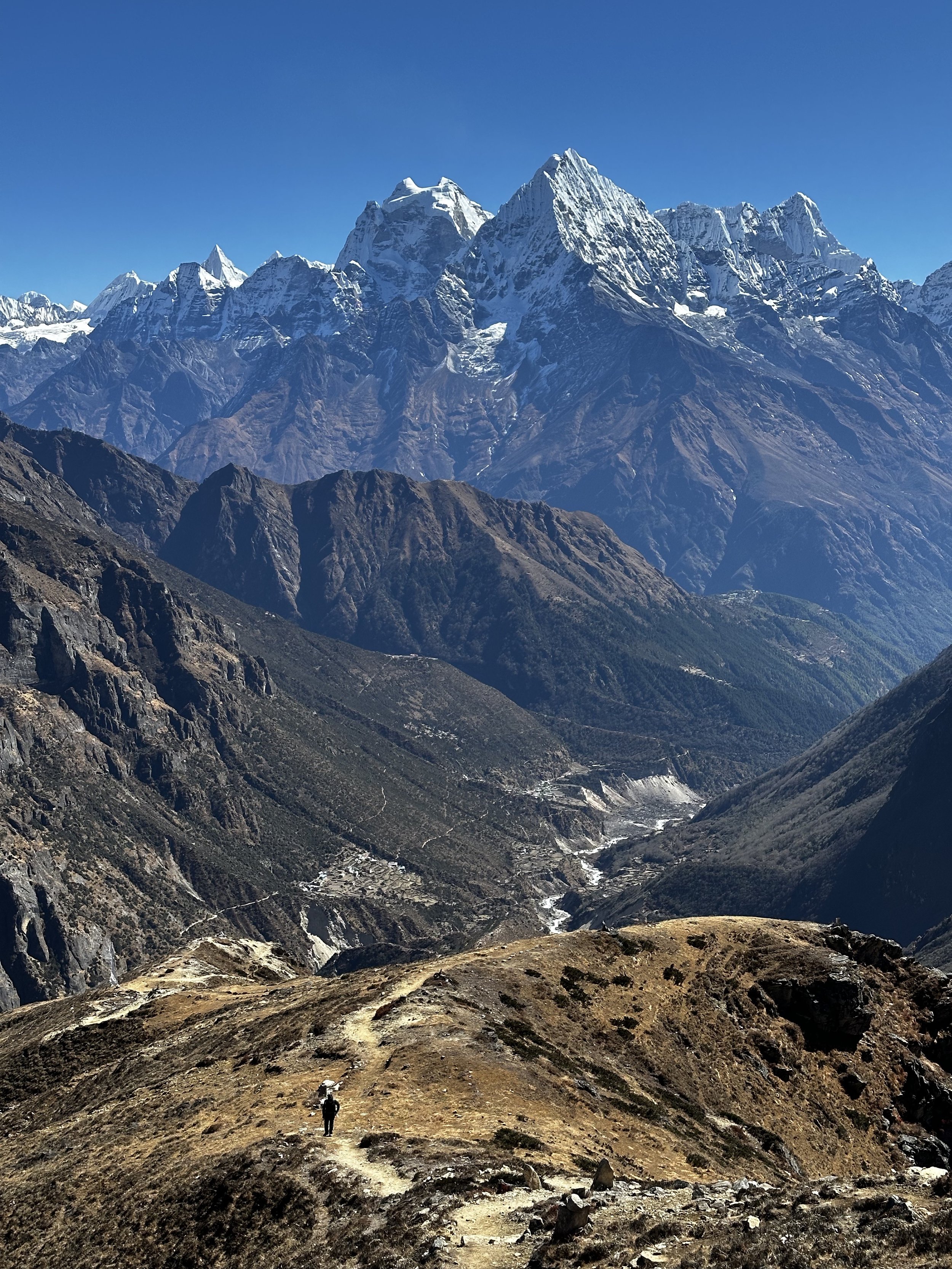
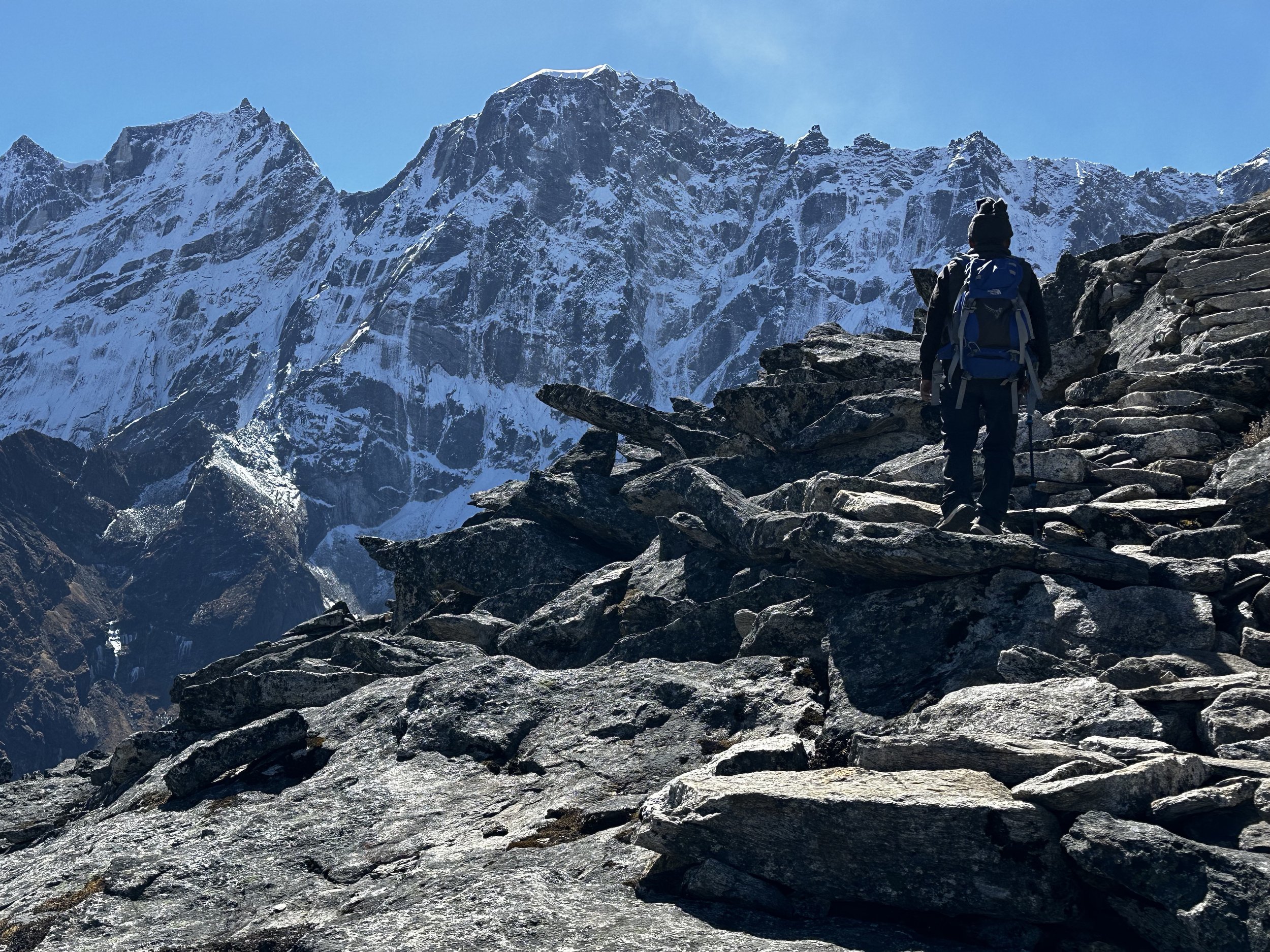
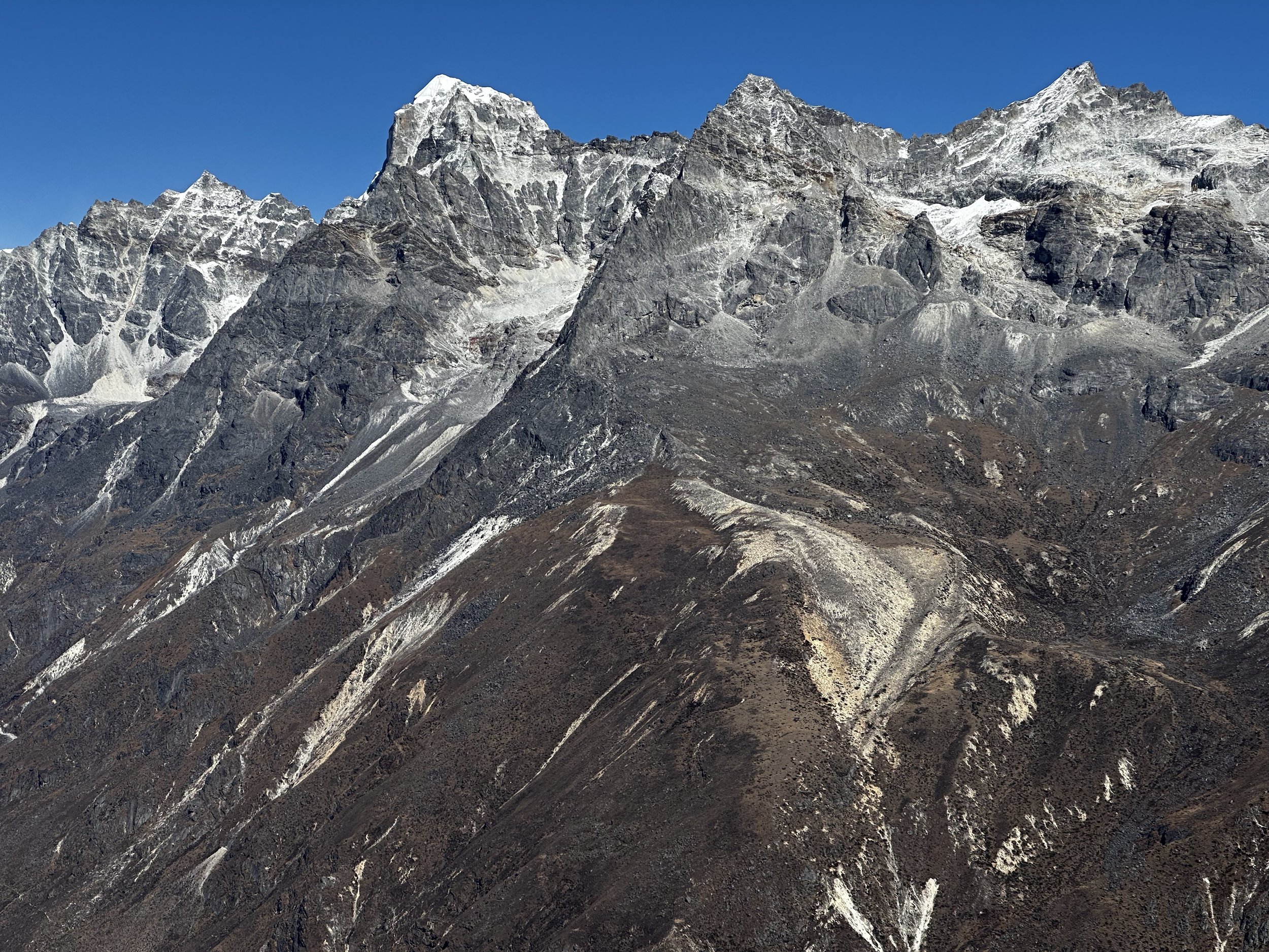
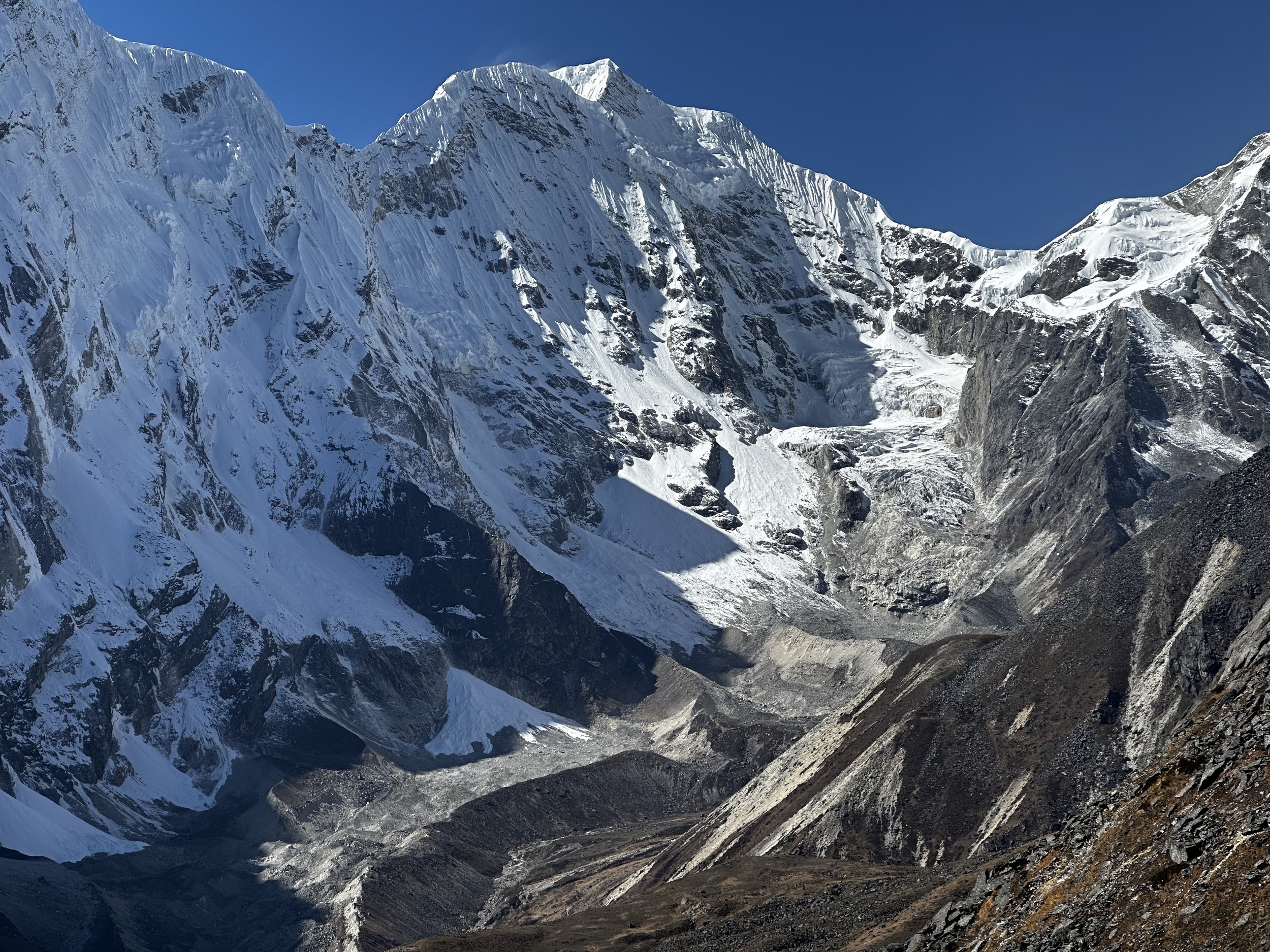
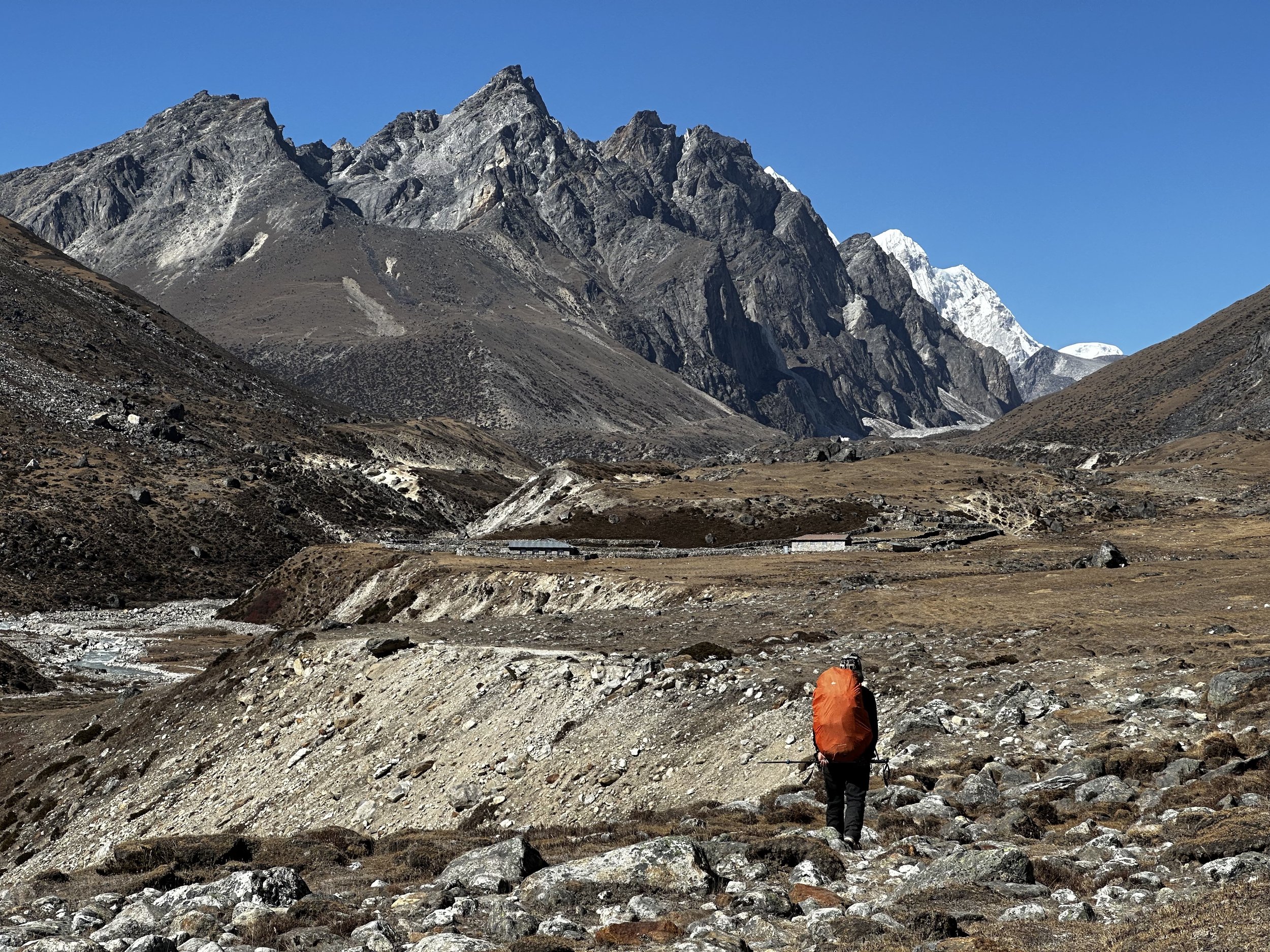
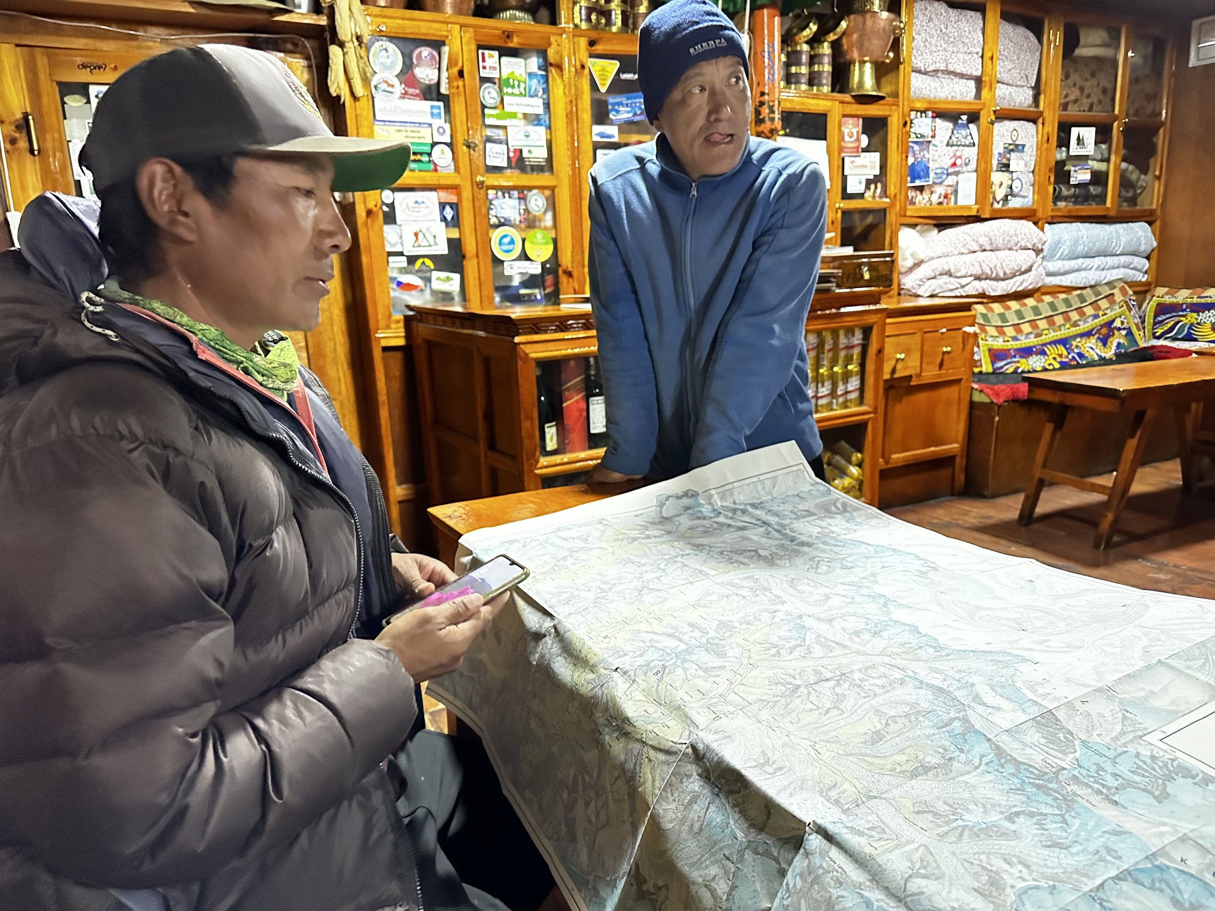
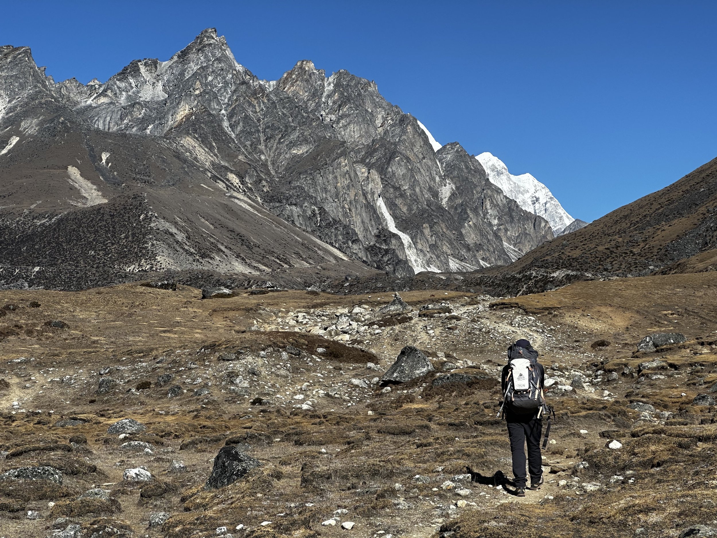
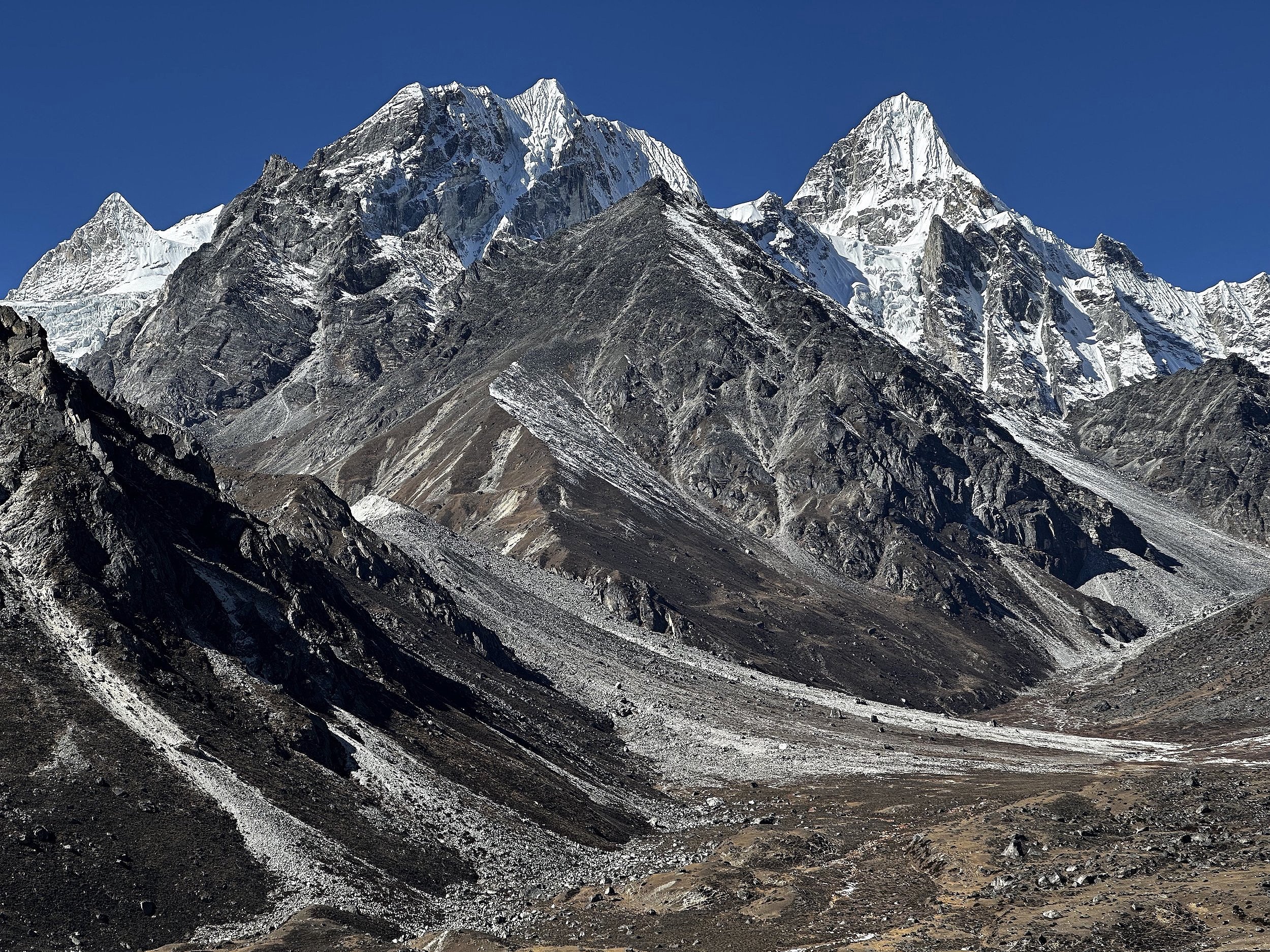
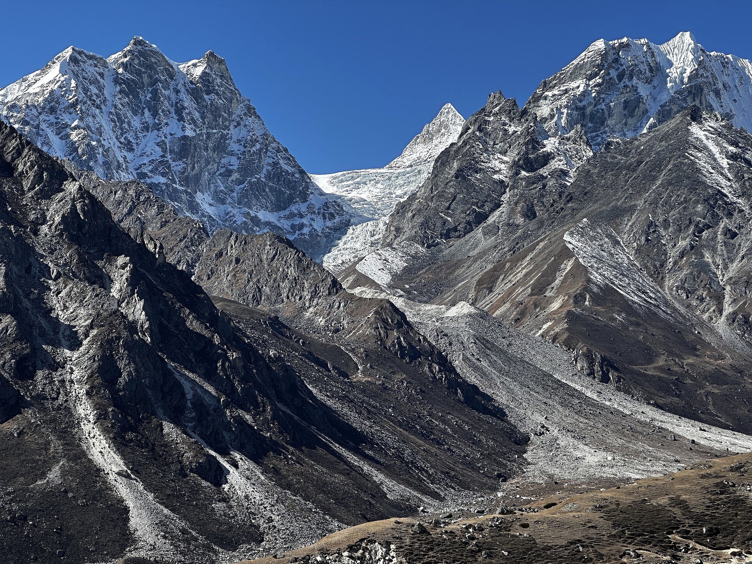
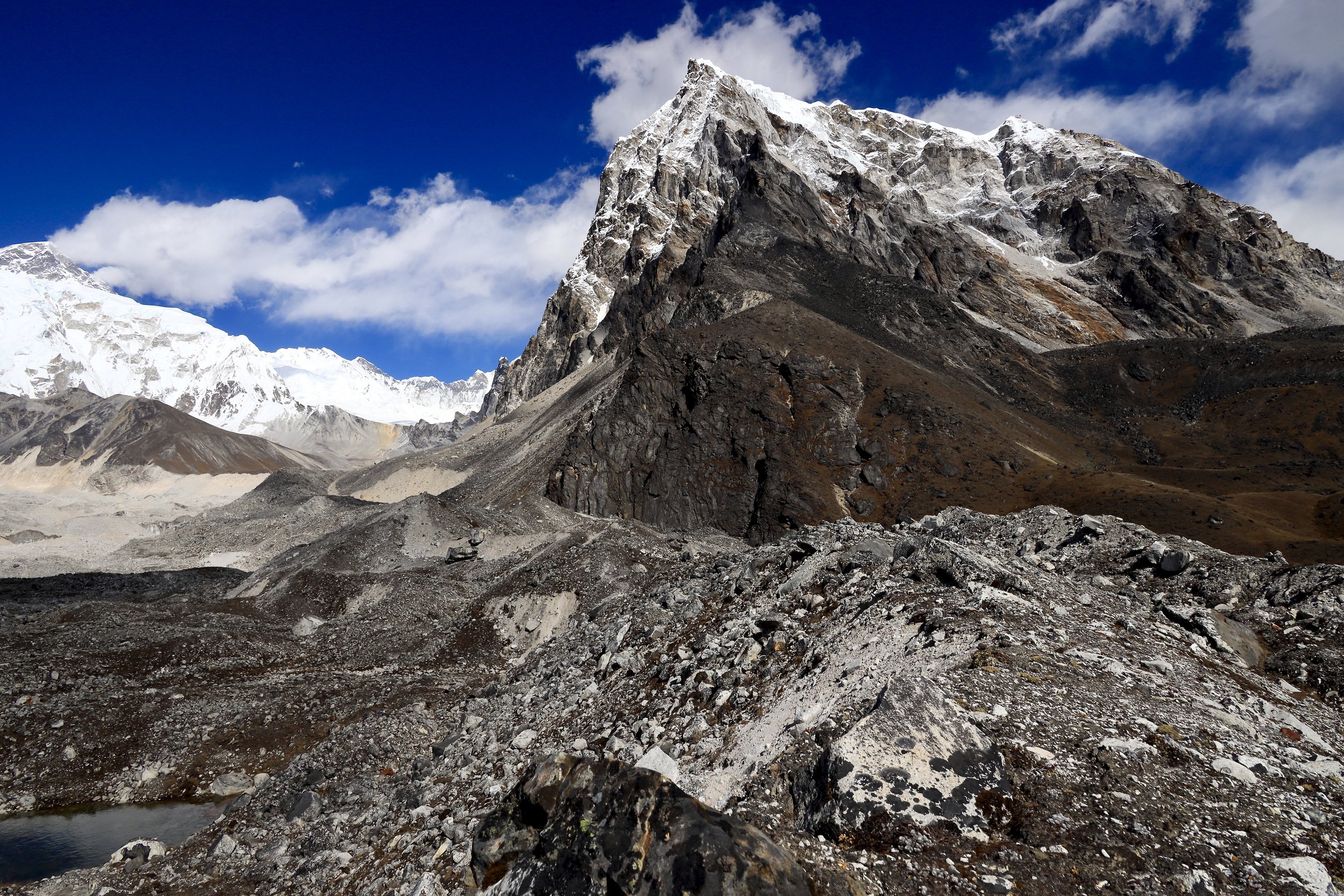
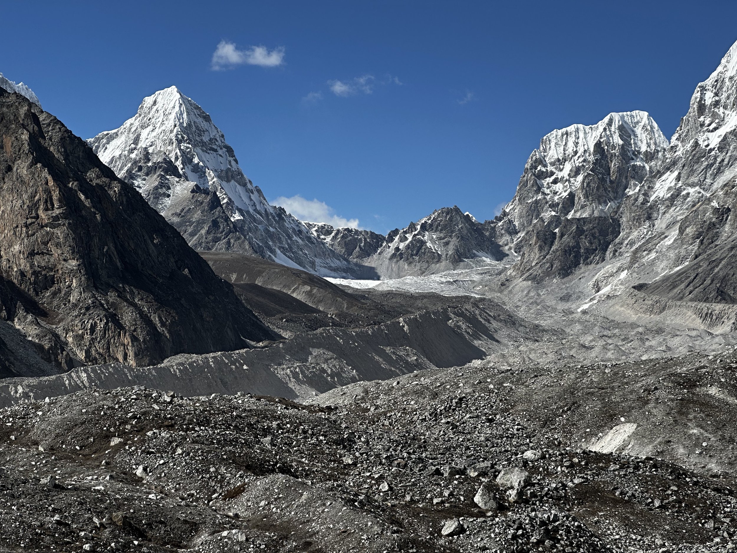
For quite a while I was curious if there was a passage from the Lumsumna Glacier (by Jasemba) to the 6th Gokyo Lake and the Cho Oyu BC. When I arrived in Thame, we were asking the local Sherpa who climbed on Nepal side of Cho Oyu if the passage was possible. He told us that the passage does exist but the way is too difficult for the porters unless they have proper climbing gear. He also told us that there was an easier way roughly in the same area. The Sumna Pass was supposed to be the easier (although longer) way. There is no trail as the pass is not used frequently but it was in the area of my interest so we decided to give it a try. It is a fantastic trek through one of the more remote regions of the Khumbu. The views are fabulous and the sense of isolation is uncommon for the busy Khumbu valleys. The trip takes four days and it requires camping equipment as Aye is the last tea house along the way. A local guide is recommended as there is no trail and the way through the boulder fields and small glaciers can be confusing. Thanks to Rajendra and the Mountain Sun Valley for making this happen.
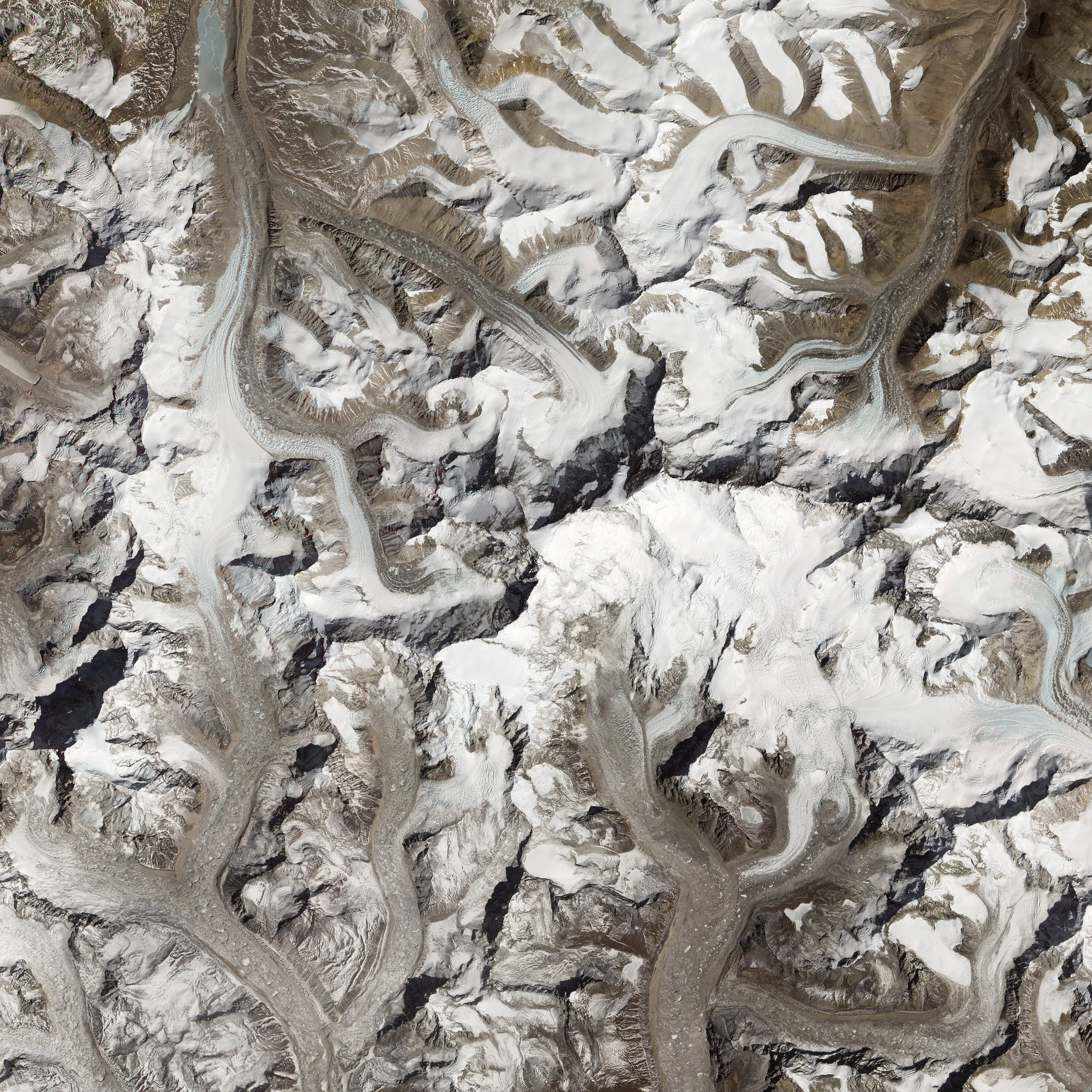
satellite image of Cho Oyu
The Khumbu
Cho Oyu
Cho Oyu, Jasemba, Lunag 1
The Khumbu with Pumori in the centre
Everest and the Khumbu
Everest and Lhotse South Face
Kathmandu
Pashupatinath Temple, Kathmandu
Pashupatinath Temple, Kathmandu
Pashupatinath Temple, Kathmandu
Bakthapur, Kathmandu Valley
On the trail from Lukla to Namche
Between Lukla and Namche
Between Lukla and Namche
Between Lukla and Namche
Between Lukla and Namche
Gomba In Namche
Namche Gomba
Namche
Namche
On the trail between Namche and Thame
Between Namche and Thame
Between Namche and Thame
Thame Gomba
Thame
Thame
Thame Gomba
Thame
Sundar Peak is ideal for acclimatization. It is right above Thame. It is +5000m high and has 1250m ascent.
Since the mountain is strategically located, it provides panoramic views to the mountains above Namche and up the Thame Valley all the way to Cho Oyu and the Tibet border.
On the Sundar Peak
The views from the Sundar Peak above Thame.
The views from the Sundar Peak above Thame.
The views from the Sundar Peak above Thame.
The views from the Sundar Peak above Thame.
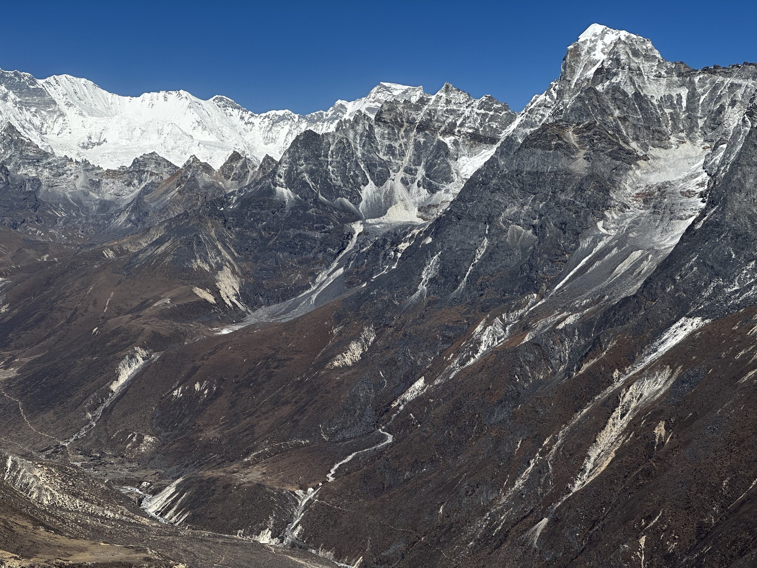
Mountains along the valley leading to Teshi Labtsa Pass from Sundar Peak.
The views from the Sundar Peak above Thame looking down on the trail along the valley leading to Teshi Labtsa Pass
Looking north from the Sundar Peak.
The views from the Sundar Peak above Thame.
The views from the Sundar Peak above Thame.
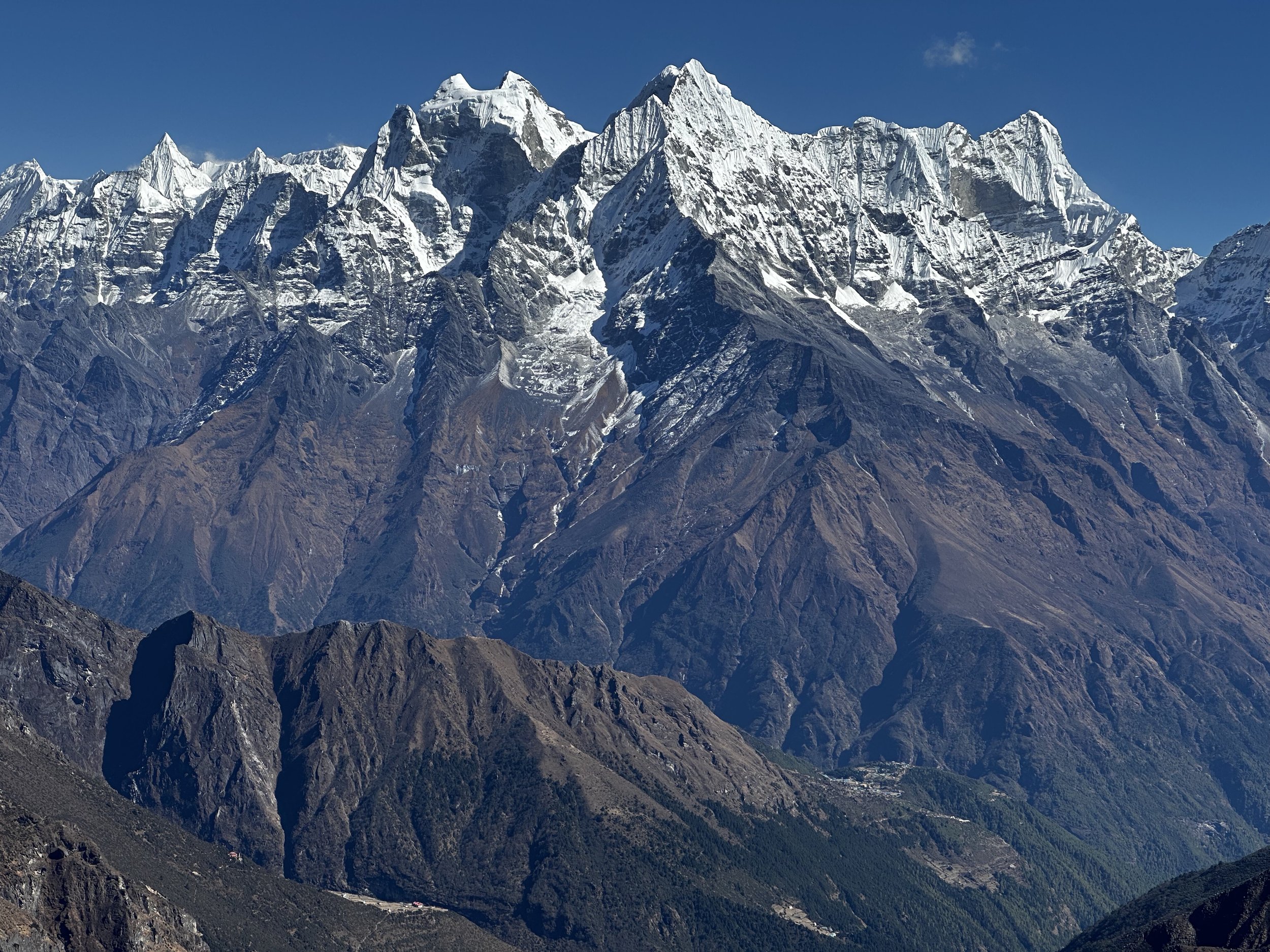
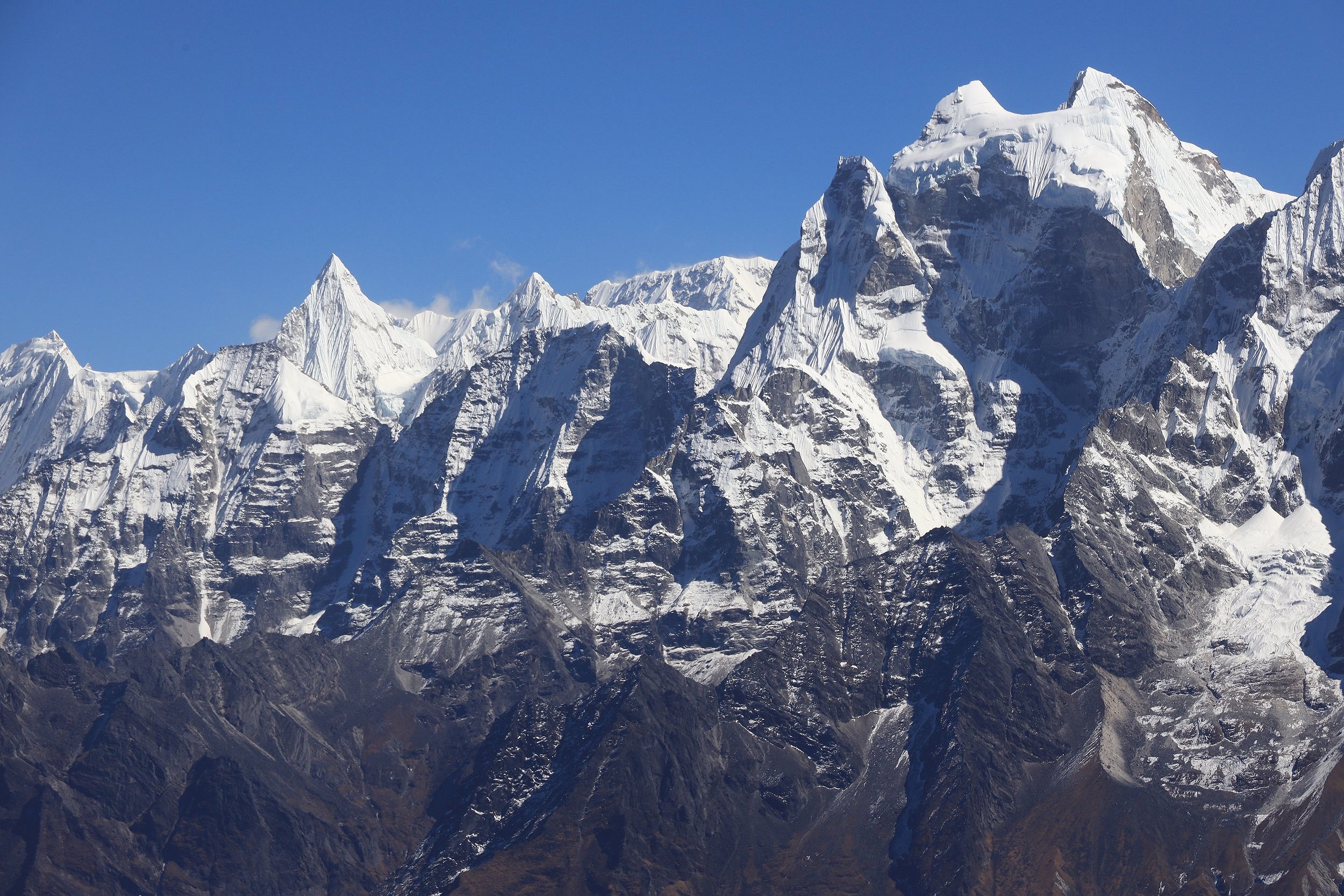
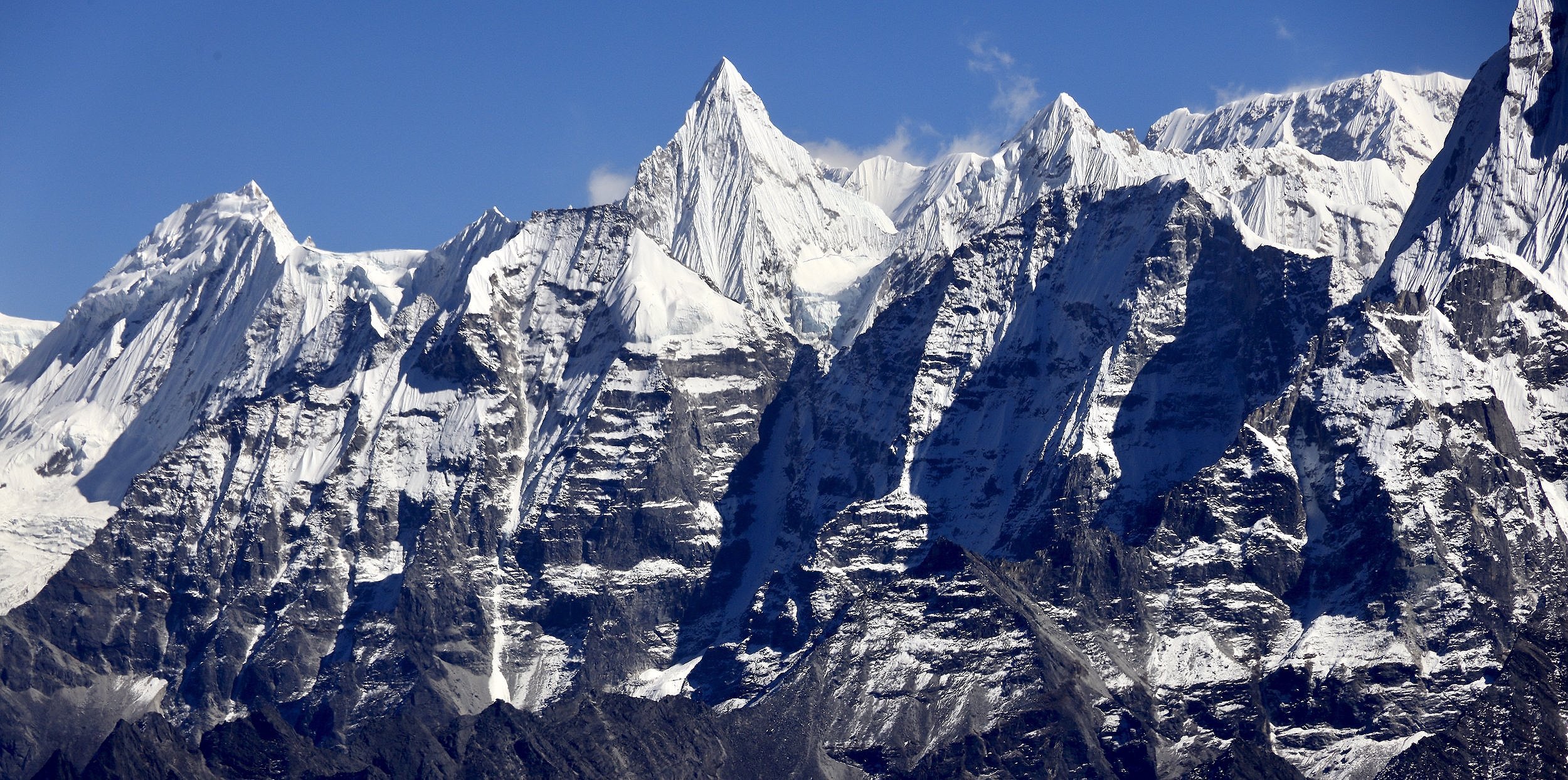
The views from the Sundar Peak above Thame. Mt. Kangtega.
The views from the Sundar Peak above Thame. Mt. Kangtega.
The views from the Sundar Peak above Thame. Mt. Thamaserku.
Mt. Kangtega.
Mt. Kusum Kangru
Even Mt. Everest makes an appearance. The views from the Sundar Peak above Thame.
Upper Thame Valley. The views from the Sundar Peak above Thame.
The views from the Sundar Peak above Thame.
Panchermo is visible on center right. The views from the Sundar Peak above Thame.
Panchermo from Sundar Peak.
Following the upper Thame Valley to the tea house of Aye
Aye, the last tea house in the valley is coming up. Passed this point it is camping only.
Planning our route up the Thame Valley in the Aye Tea house.
The lone teahouse in Aye and the mountains next to Renjola.
Aye teahouse - 6 am and starting the fire
Mountains above Renjola Pass.
We left Aye behind and are heading towards the Nangpa Glacier.
Rock towers above Aye
Dingjung Ri 6757m and Khang Karpo 6646m
Phenomenal mountains of the north Rowaling. Dingjung Ri and Dragnag Ri.
Dragnag Ri 6757 and Khang Karpo 6646m
Rowaling Mountains from the upper Thame Valley.
Nangpa Glacier and Mt. Jasemba (on the right).
Lower Nangpa Glacier.
First view of Lunag 1 and the Lunag Glacier.
Lunag Glacier
Lunag Glacier and Lunag 1
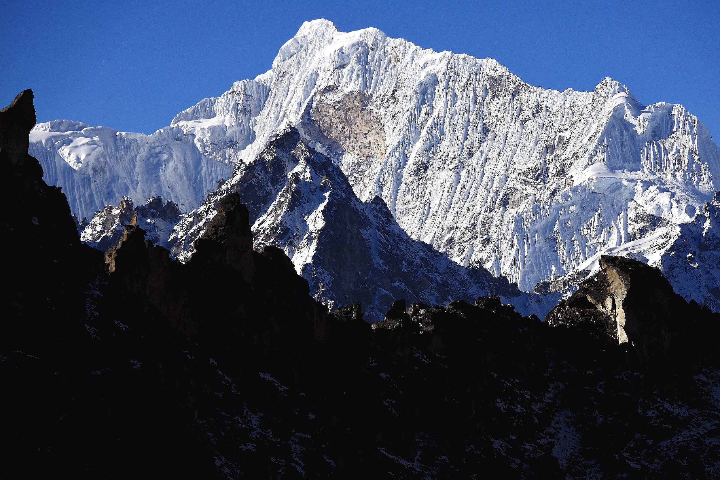
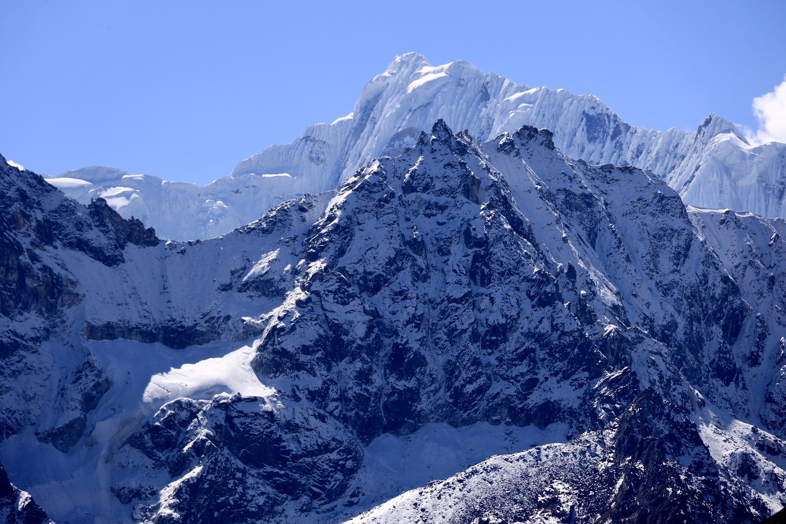
Mt. Jasemba 7,352m and Mt. Nangpa Gosum
Lunag 1 (on the left) and Mt. Jasemba (on the right).
Lunag 1
Sumna Ri 6000m
Sumna Ri and Sunma Pass (low snow indent between the mountains)
Jasemba, Nangpa Gosum, Cho Oyu and Gyachungkang - the spectacular wall of Himalaya giants. The mountain on the left is Sumna Ri.
Mt. Jasemba and Cho Oyu.
Closeup of the summit of Cho Oyu.
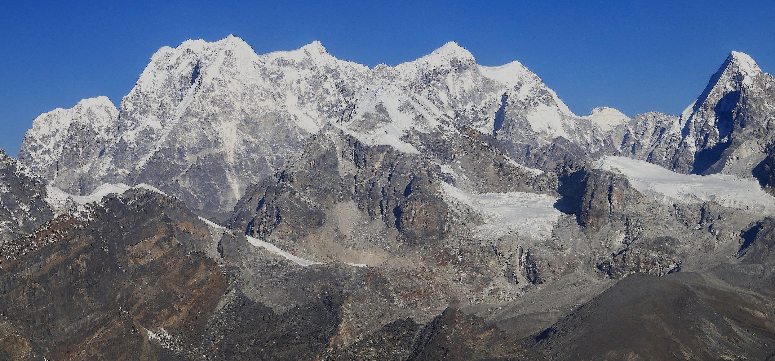
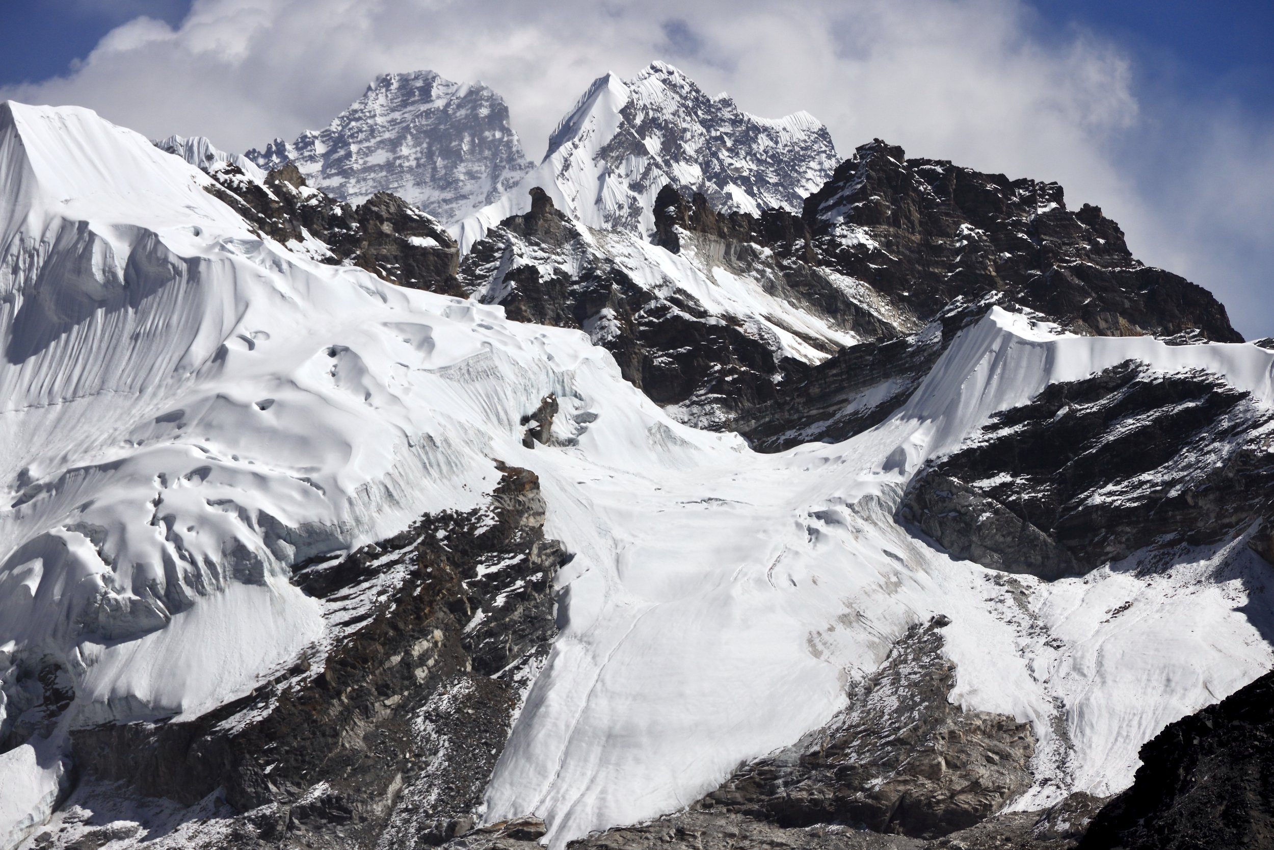
Mountains east of Cho Oyu.
Mountains east of Cho Oyu.
Mt. Sumna Ri
Mt. Gyachungkang is peaking from behind the ridges on the right (almost 8000m).
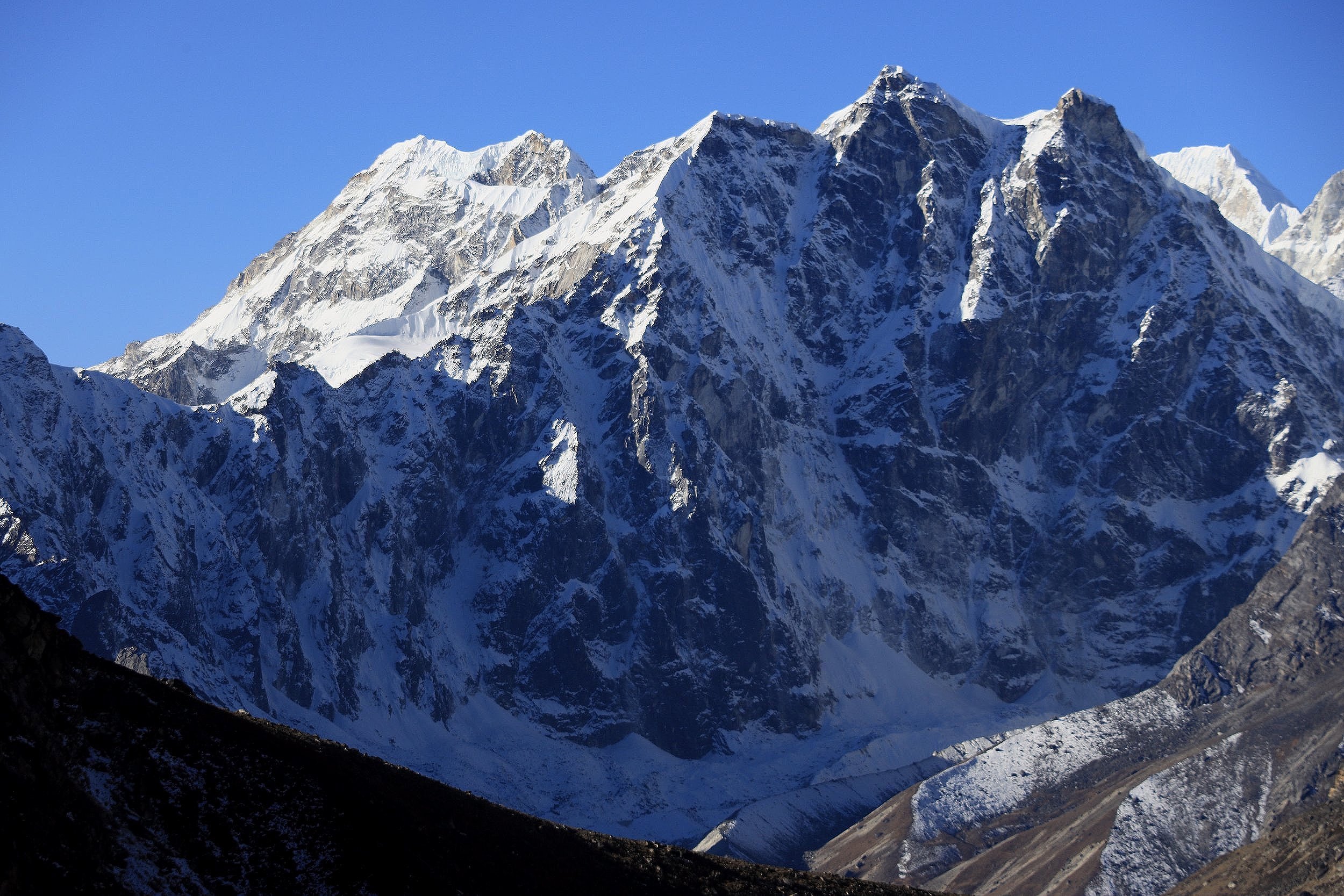
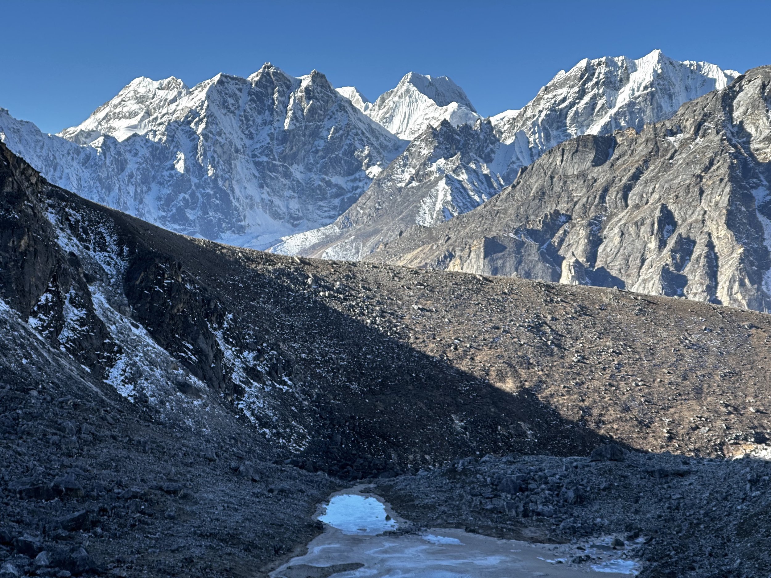
Pankbuk North 6,750 (left), little Lunag 6,300 and Lunag 1(right) 6907m.
Pankbuk North and Little Lunag
Little Lunag and Lunag 1 (right)
The closeup of Lunag 1
Little Lunag
Lunag 1
Looking back at the mountains of the Rowaling.
Upper Lunag Glacier.
Upper Lunag Glacier.
Upper Lunag Glacier.
Looking back south at Dragnag Ri, the mountain bordering the Rowaling.
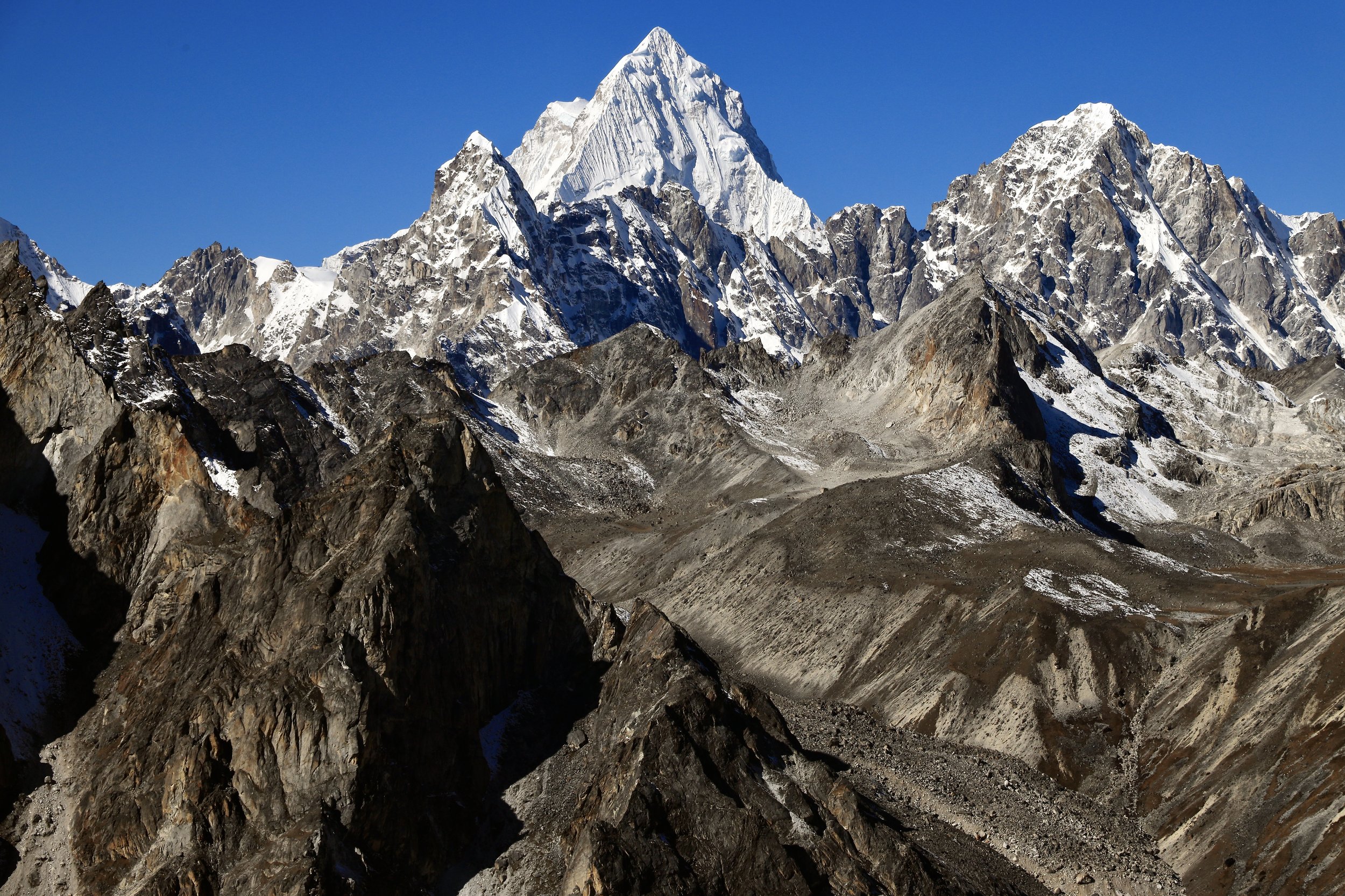
Spectacular Tengi Ragi Tau 6901m from the north-east. This peak towers above Teshi Labtsa Pass. The pointy Arye Ri 5967m is in front of it.
Spectacular Tengi Ragi Tau 6901m from the north-east. This peak towers above Teshi Labtsa Pass. The pointy Arye Ri 5967m is in front of it.
Cho Oyu
The peak south of the Sumna Pass (nameless).
Looking down the Lunag Glacier where we came from towards Rowaling.
Lunag 1
Our camp for Sumna Pass. The pass can is visible on the left (the cleft between the mountains).
Pano of the Sunma Pass bc
The south wall of Cho Oyu where the Sherpa were trying (unsuccessfully) to put up a commercial climbing route in 2023.
Looking down to the Lunag Glacier and Jobo Lecoultre
Looking down to the Lunag Glacier
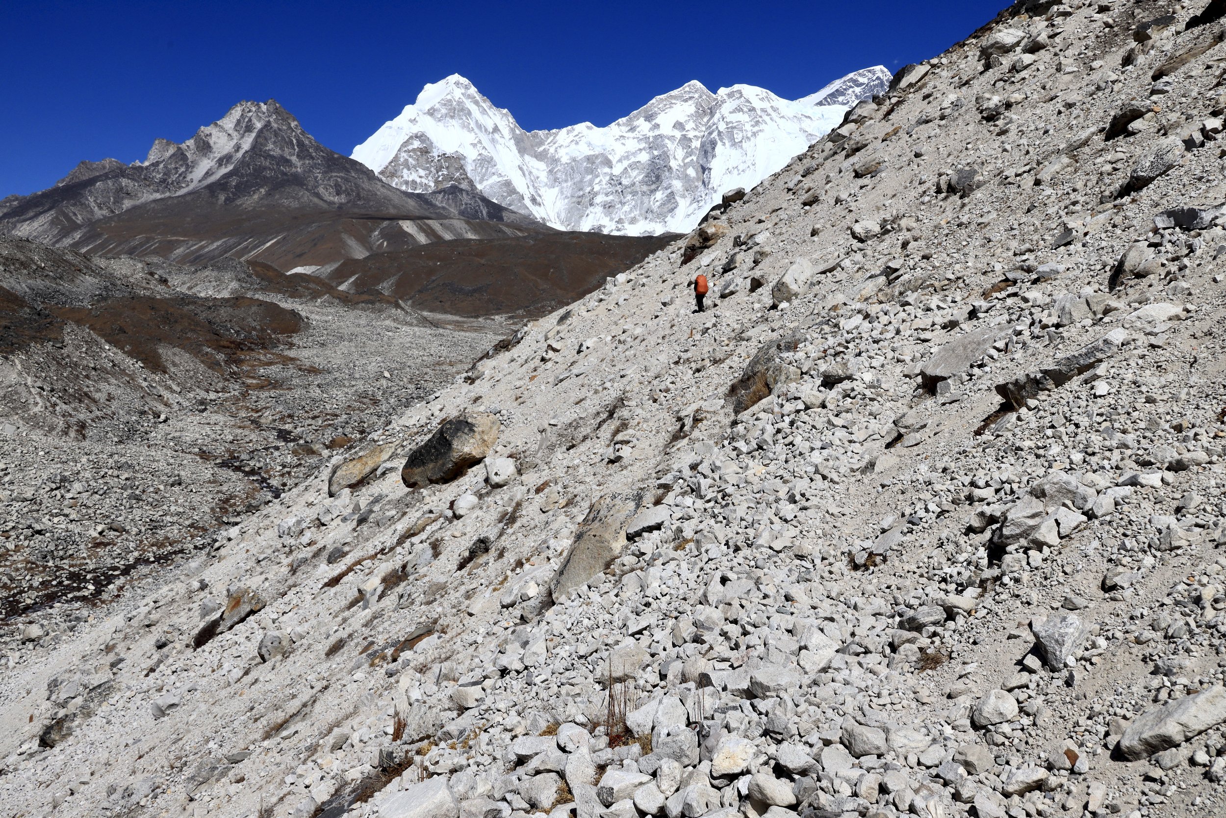
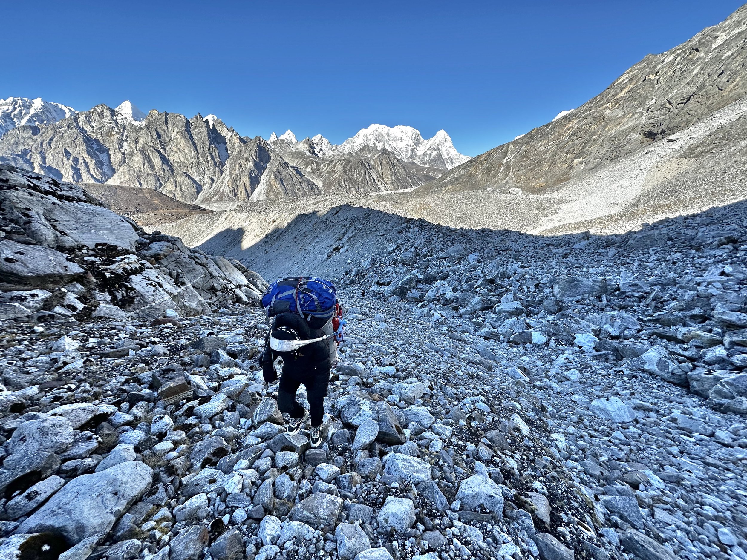
There is no path to the pass and the glacier moraine is full of loose boulders.
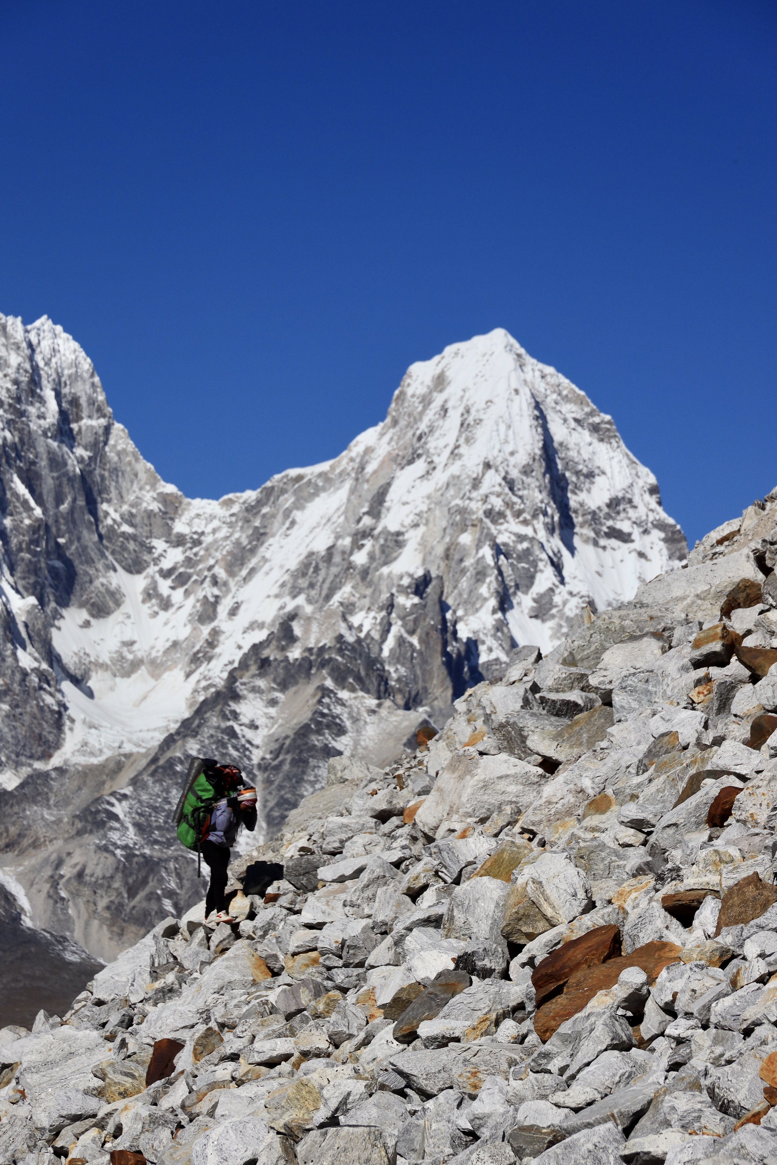
Working our way up the loose boulder slope to the Sumna Pass.
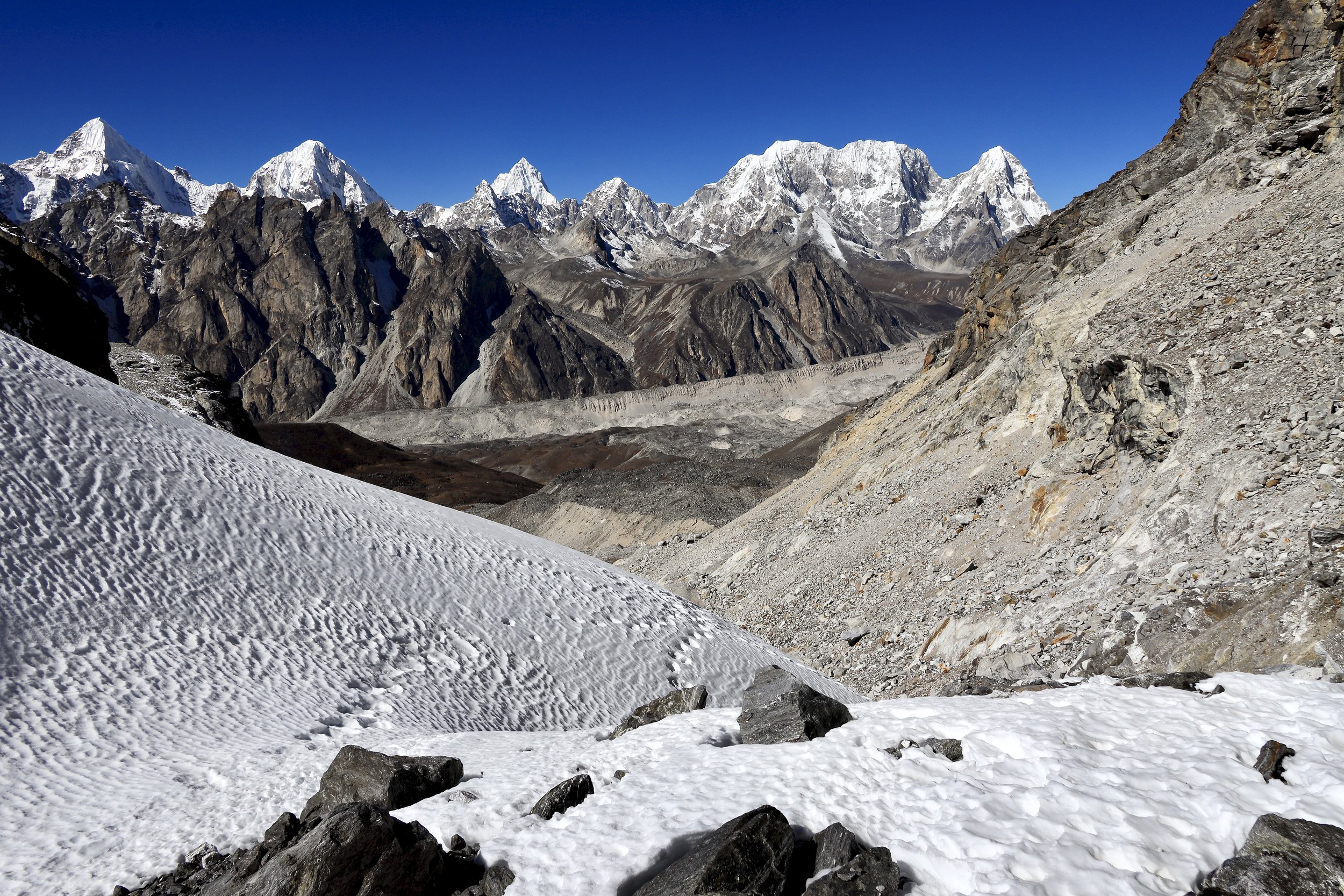
The views are becoming spectacular.
The peaks of the upper Rowaling and Menlungtse Basin from the ascend to the Sumna Pass.
On the way to the Sumna Pass.
Jobo Lecoultre and Pankbuk North.
The glacier leading to the Sumna Pass. The pass is getting closer.
The mountains in Tibet including Menlungtse are now visible on the horizon.
Loose slopes leading to the Sumna Pass.
Boulder hopping with Mt. Pangbuk int he background.
Boulder hopping.
Menlungtse in Tibet . It is a beautiful mountain but very difficult to access.
Menlungtse in Tibet
Sumna Pass 5400m
Sumna Pass 5400m
Looking down to Lunag Glacier from near the Sumna Pass.
Looking down to Lunag Glacier from near the Sumna Pass.
Looking down from Sumna Pass.
Looking down to Lunag Glacier from near the Sumna Pass.
Looking down to Lunag Glacier from near the Sumna Pass.
Sumna Pass 5400 - the view to the west.
East side of the Sumna Pass.
The east side of the Sumna Pass area from the air. The Menlungtse is the pointy peak on the left.
Sumna Pass is the indent between the mountains in the lower left (on the glacier). Photo is taken from the air. Lunag 1 is on the left and Jasemba on the right.
Closeup of the east side of the Sumna Pass from the air.
The closeup of the Sumna Pass from the air.
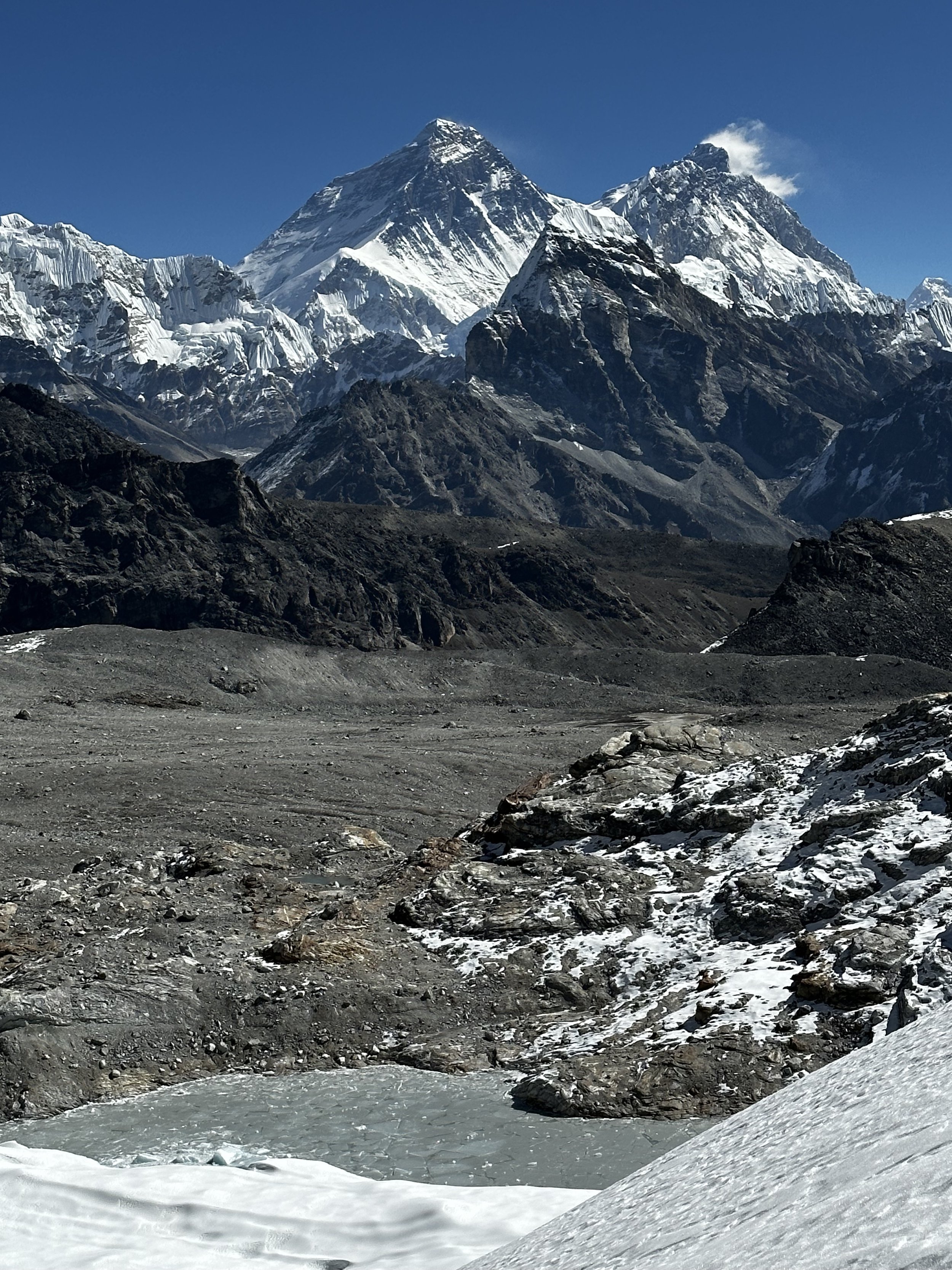
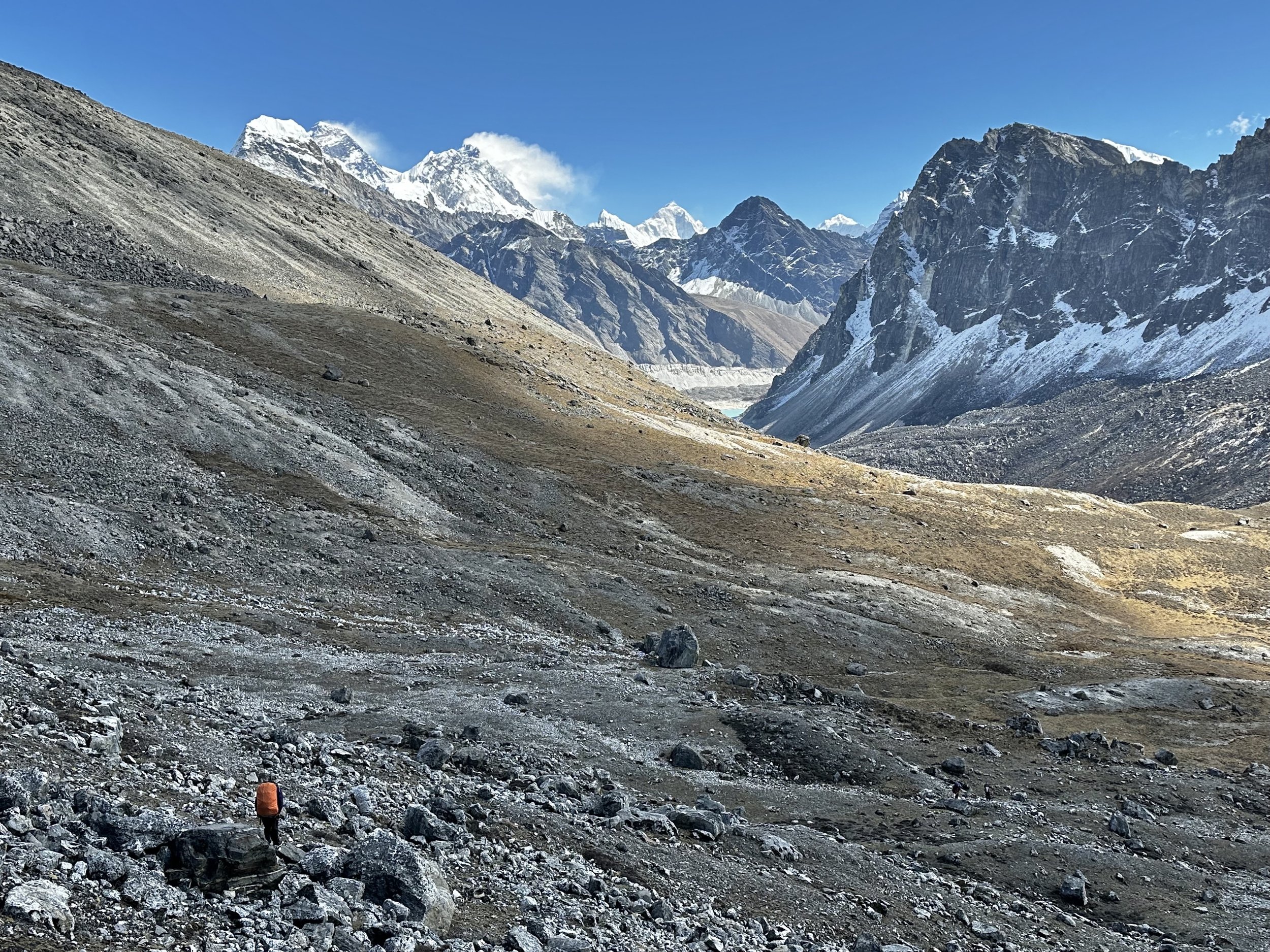
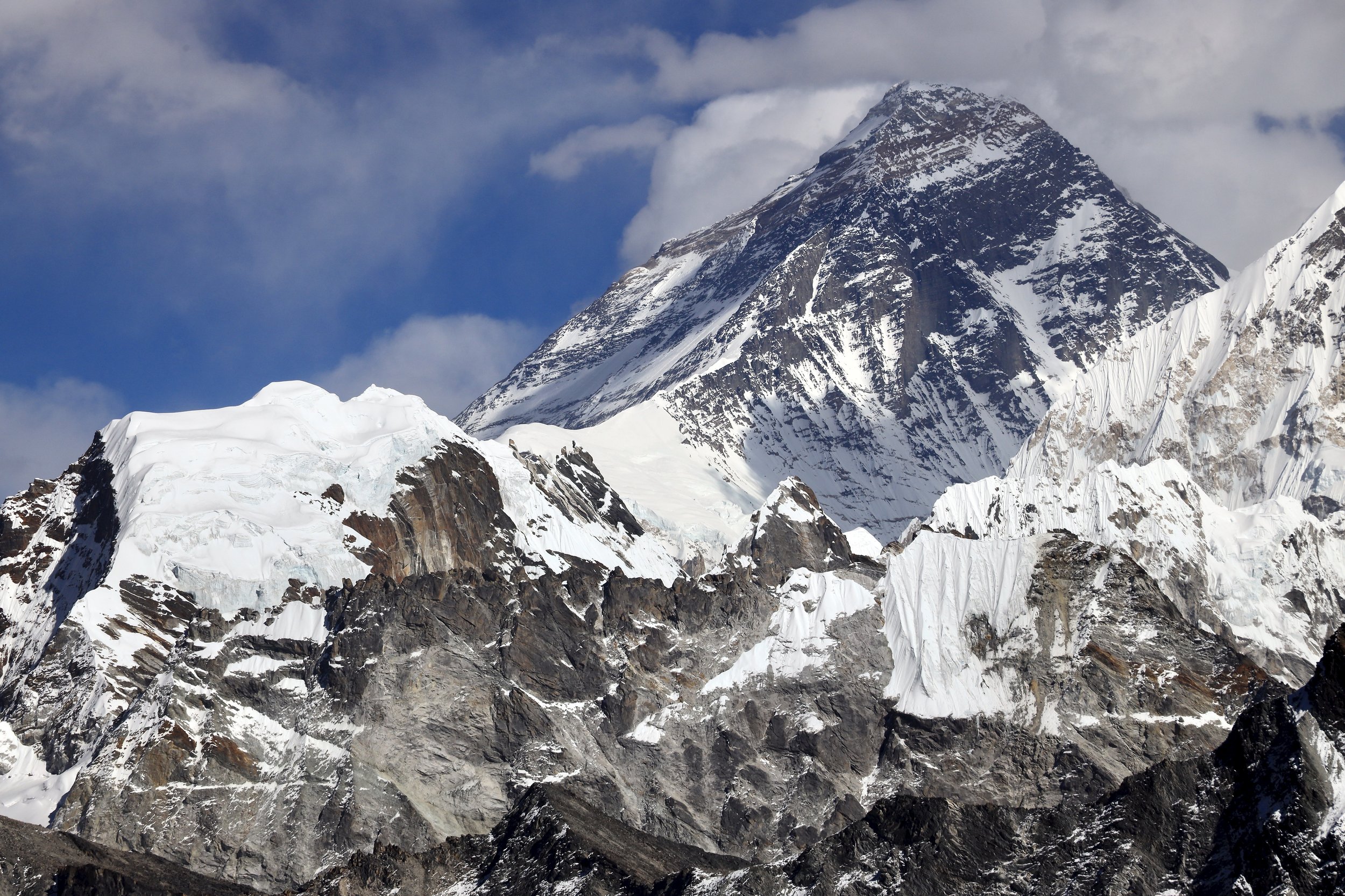
Mount Everest, Lhotse and Makalu from the Sumna Pass. You can even see the pointy Lobuche East in front of Makalu!
Lhotse, Makalu, Baruntse and Chamlang are all visible. The view from the Sumna Pass.
Everest and Lhotse
North aspect of Mount Everest
The view from Sumna Pass towards Mount Everest.
Mt. Makalu and Lobuche East.
Looking back at our descent from Sunmna Pass.
On the way down from Sumna Pass.
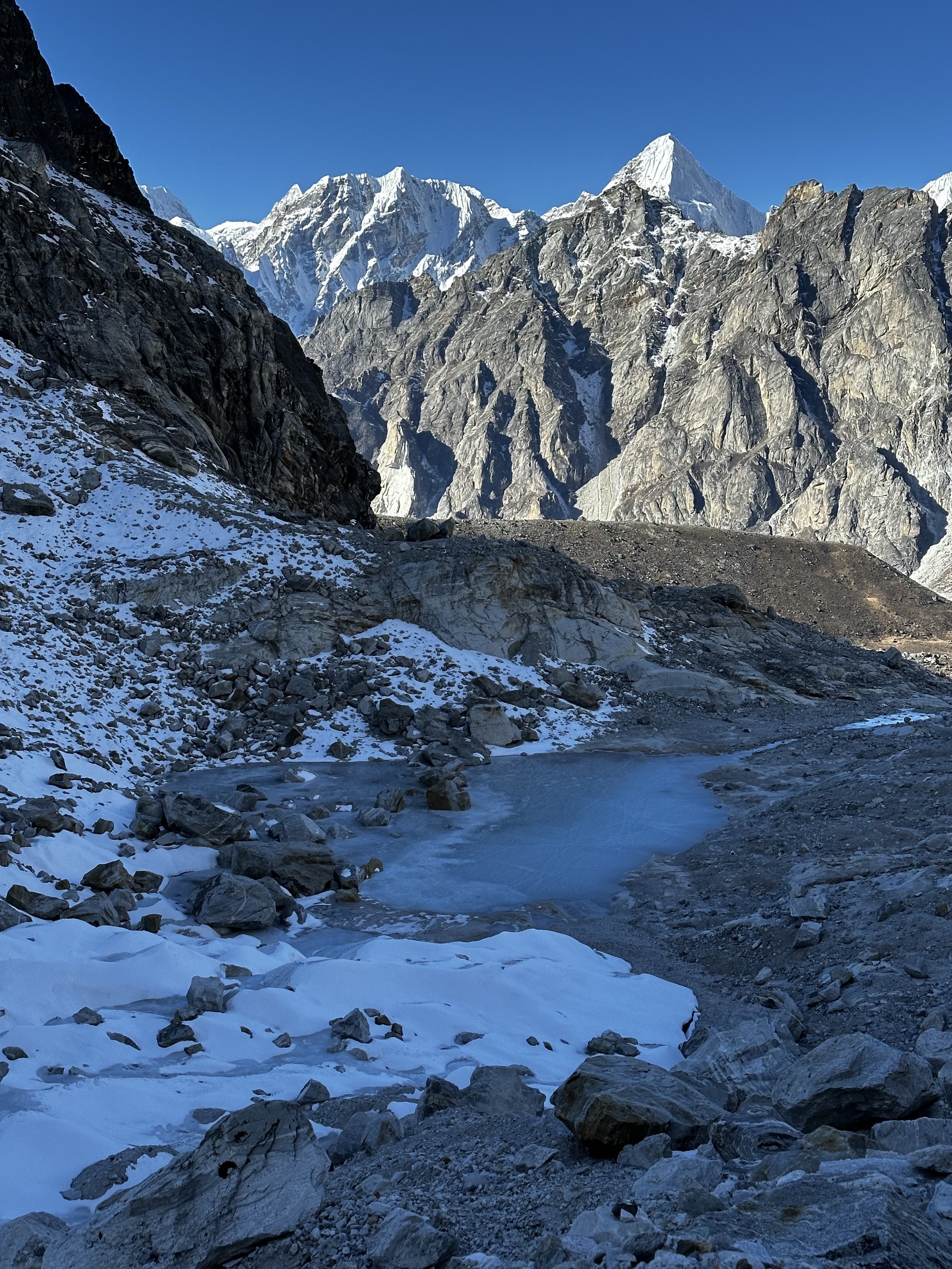
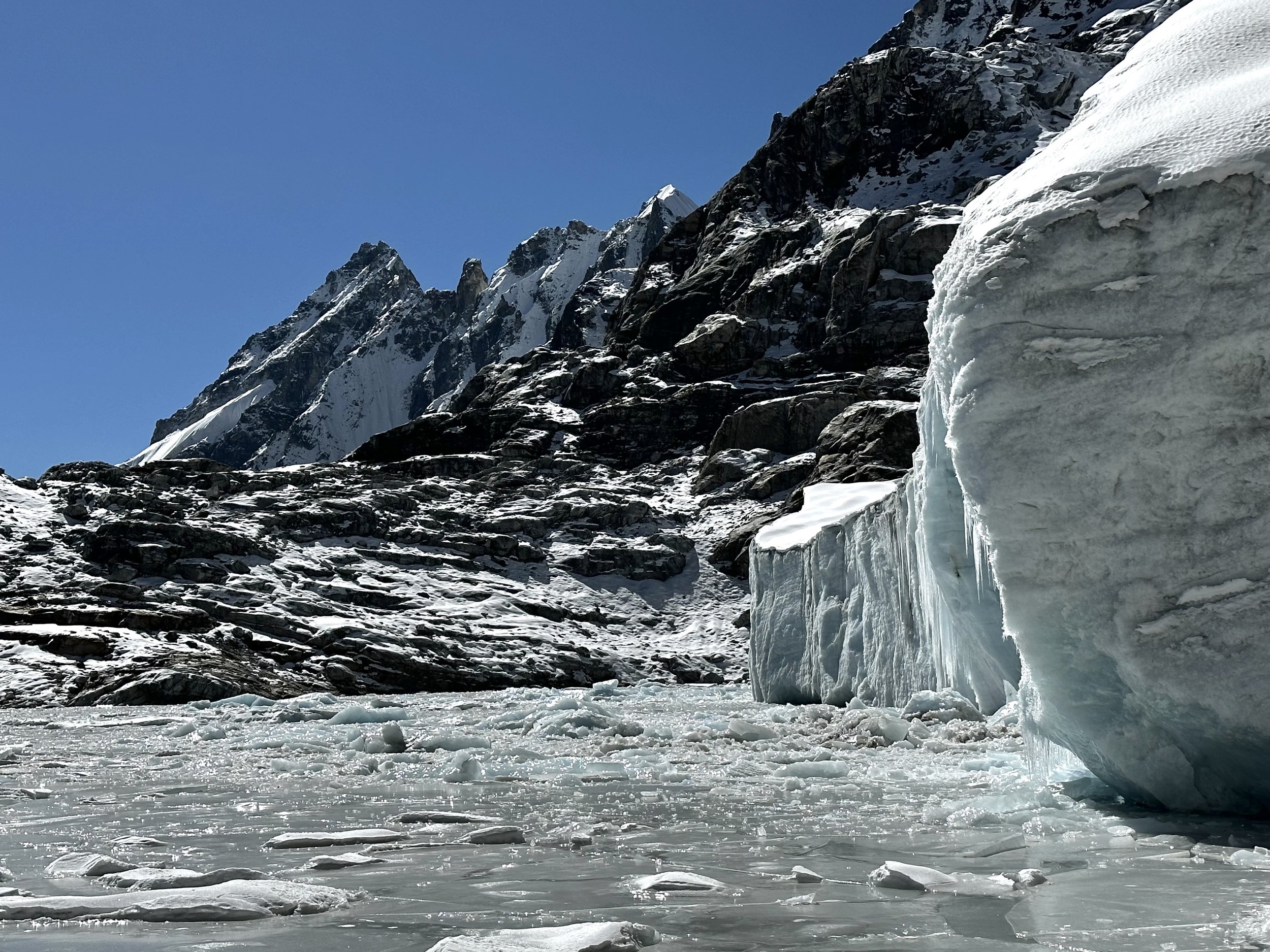
A little lake with impressive ice at the foot of the Sumna Pass Glacier.
A little lake with impressive ice at the foot of the Sumna Pass Glacier.
Sumna Pass Glacier
Old glacial bed on the way from the Sumna Pass.
Descending towards the Gokyo Lakes from Sumna Pass.
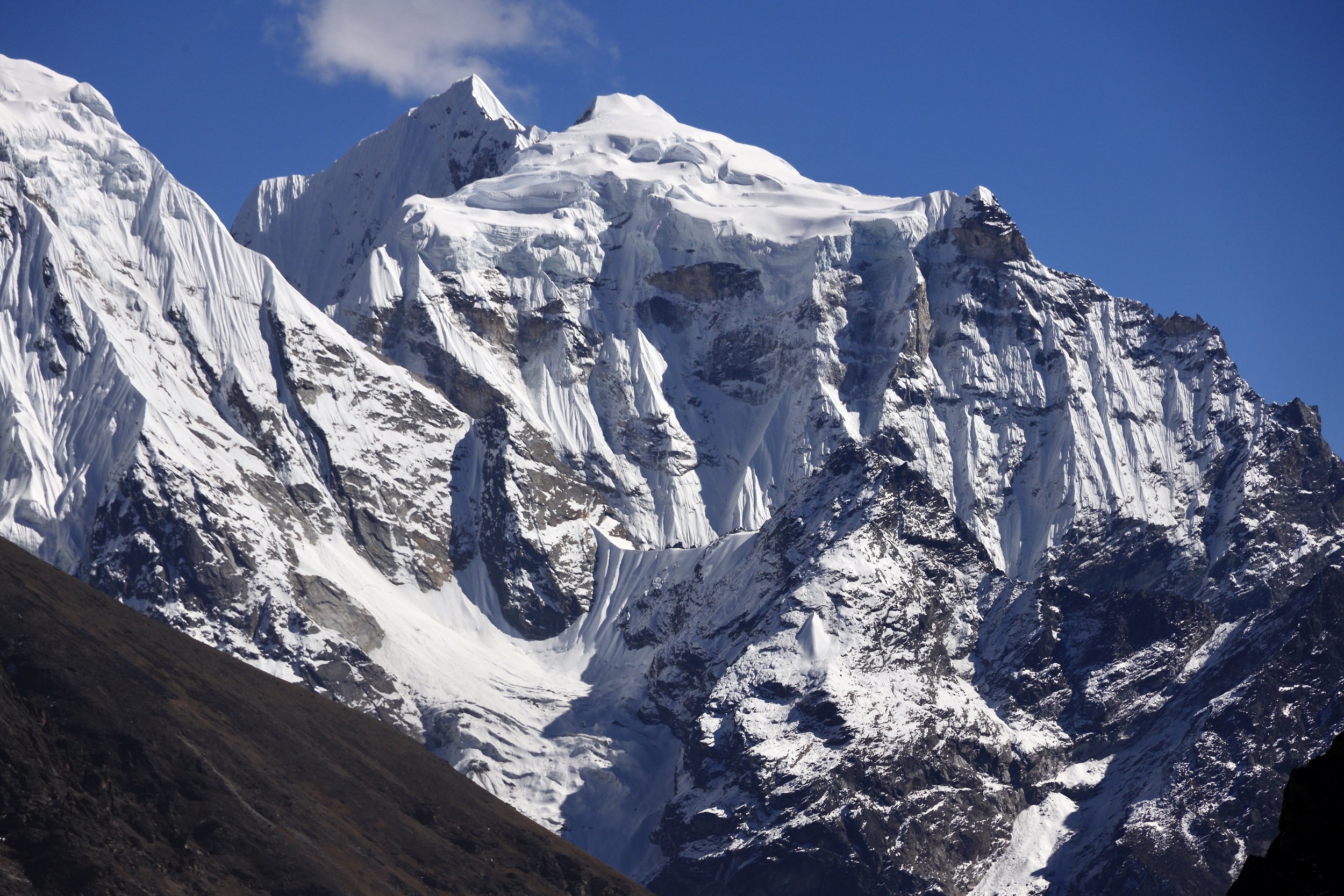
Cholatse from Gokyo Lake.
Cholatse
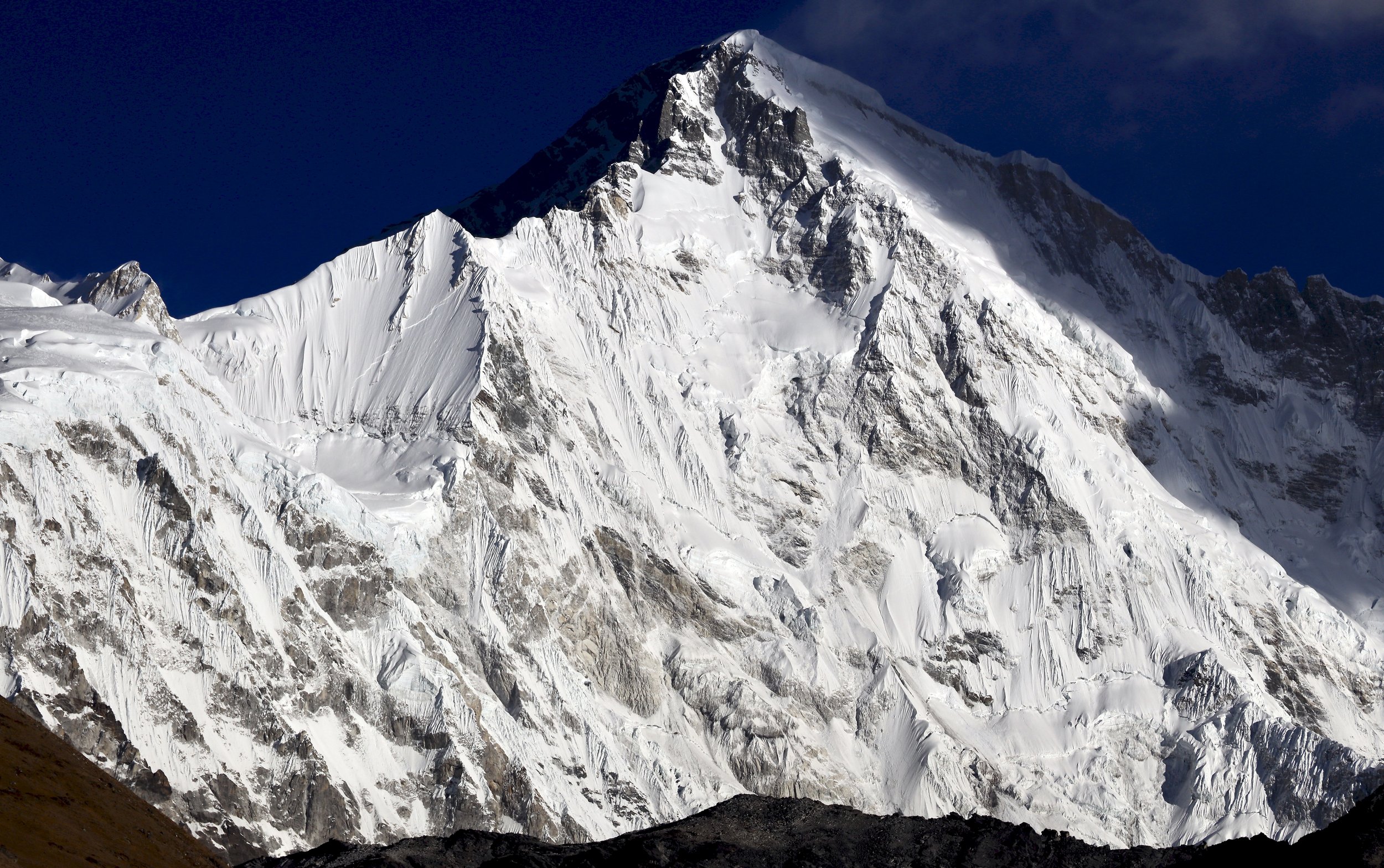
Cho Oyu
Cho Oyu
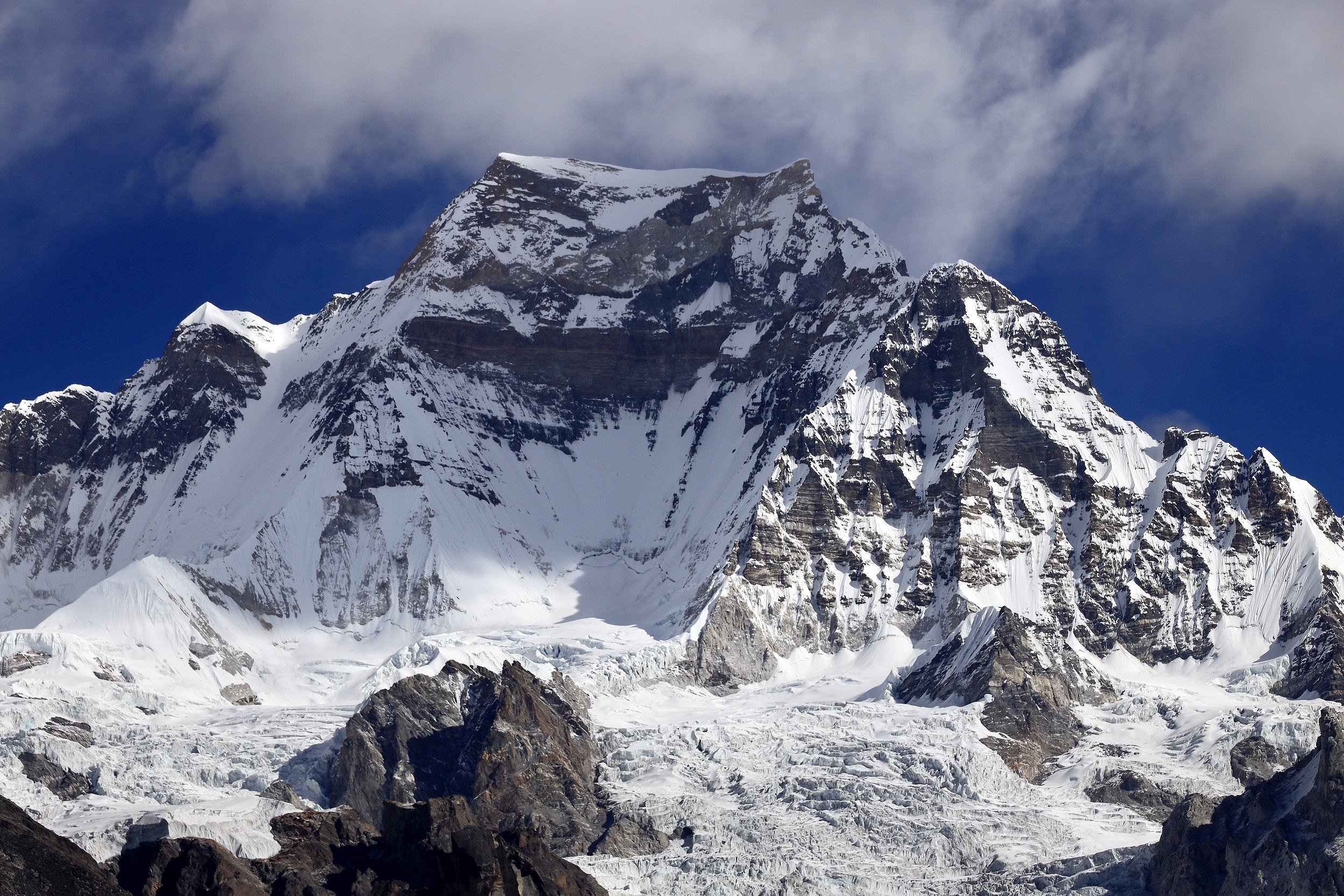
Mt. Gyachungkang
Mt. Gyachungkang
Mt. Gyachungkang
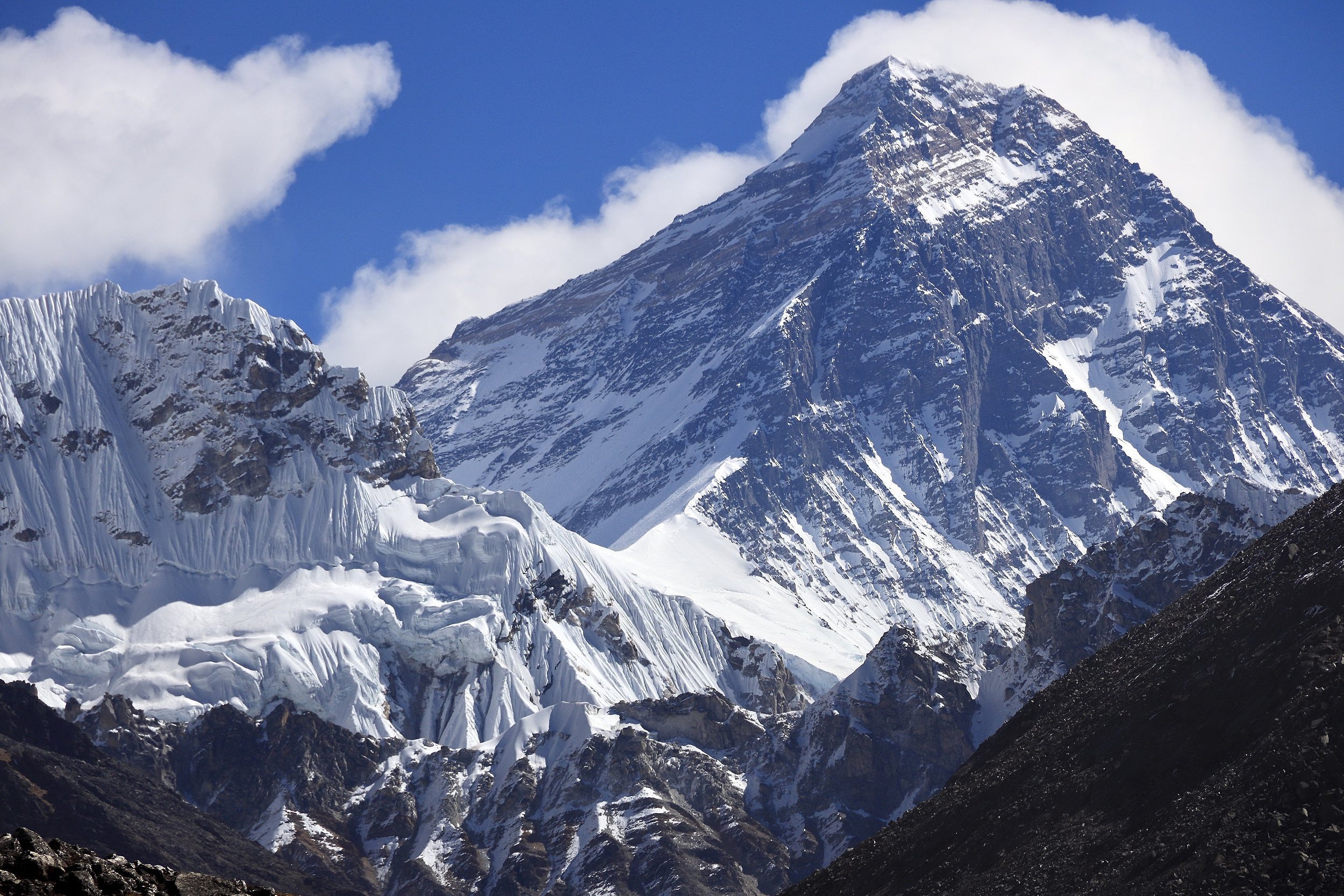
Mt. Everest
Mt. Lhotse and Nuptse on the horizon.
Mt. Everest

